Round Hill
Hill, Mountain in Leicestershire Charnwood
England
Round Hill
Round Hill is a prominent landmark located in Leicestershire, England. Situated in the National Forest, it is known as the highest point in the county, reaching an elevation of approximately 225 meters (738 feet) above sea level. Despite its name, Round Hill is not a hill in the traditional sense, but rather a small, rounded mountain.
Covered in lush greenery and offering breathtaking panoramic views of the surrounding countryside, Round Hill attracts both locals and tourists alike. The area surrounding the mountain is a designated Site of Special Scientific Interest (SSSI) due to its rich biodiversity and geological significance. It is home to a diverse range of flora and fauna, including heathland, woodland, and grassland habitats.
Round Hill is a popular destination for outdoor enthusiasts, offering various activities such as hiking, nature walks, and birdwatching. The mountain's well-maintained trails and paths provide visitors with the opportunity to explore its natural beauty. Additionally, the summit offers a perfect spot for picnicking or simply enjoying the serene surroundings.
The mountain's geological composition is noteworthy, as it is primarily composed of sandstones and carboniferous limestone. These rock formations provide valuable insights into the region's geological history and are of interest to geologists and researchers.
Overall, Round Hill is a natural gem nestled in the heart of Leicestershire. Its scenic beauty, diverse ecosystems, and recreational opportunities make it an ideal destination for those seeking a tranquil escape into nature.
If you have any feedback on the listing, please let us know in the comments section below.
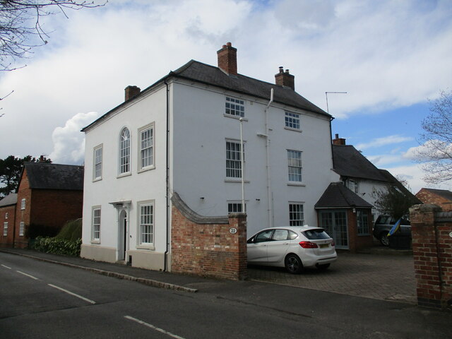
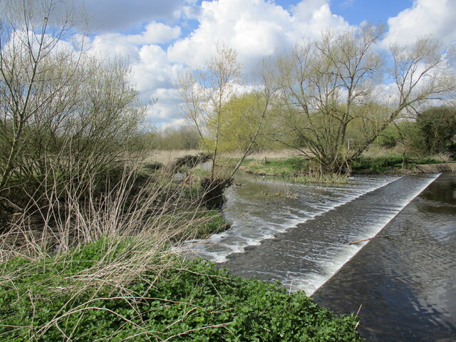
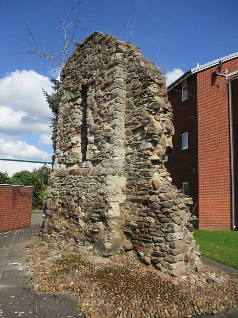
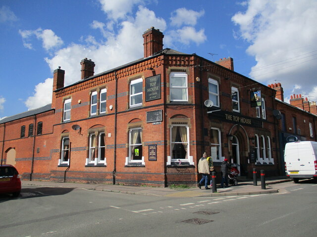
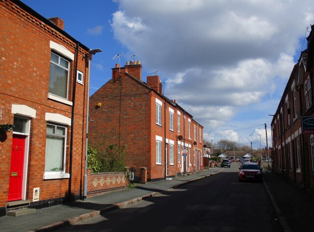
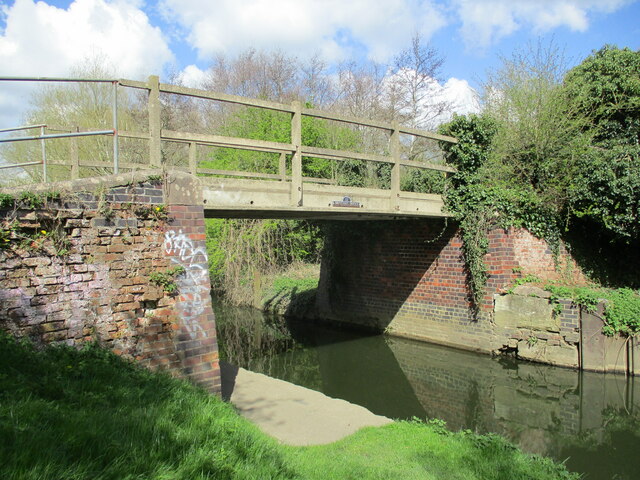
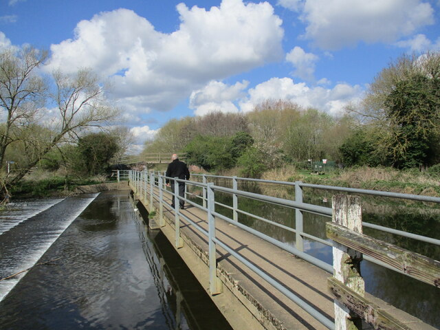
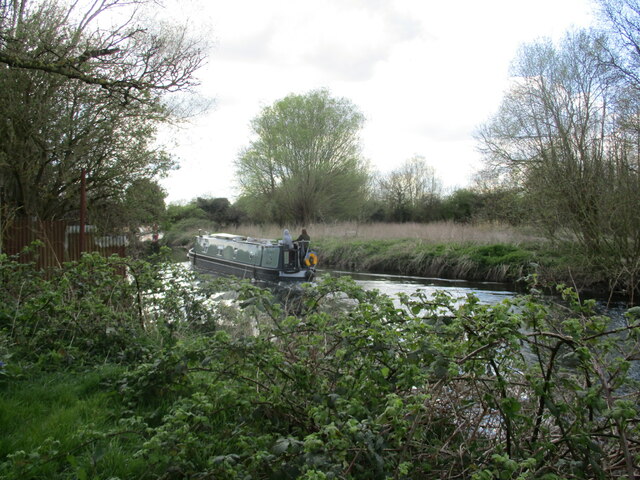
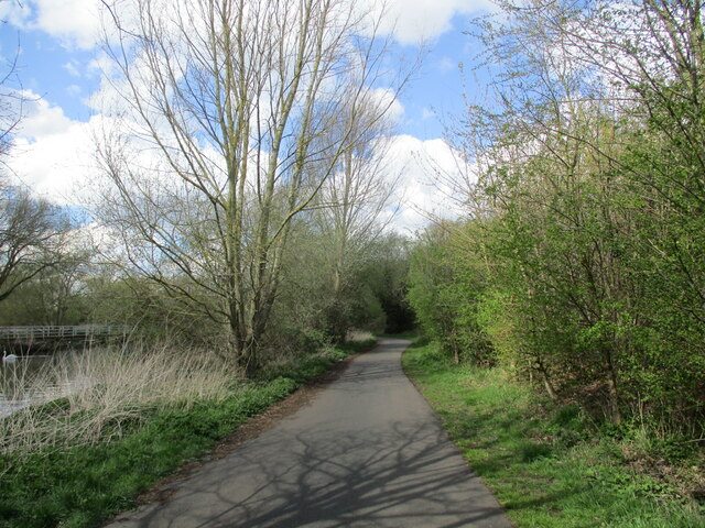
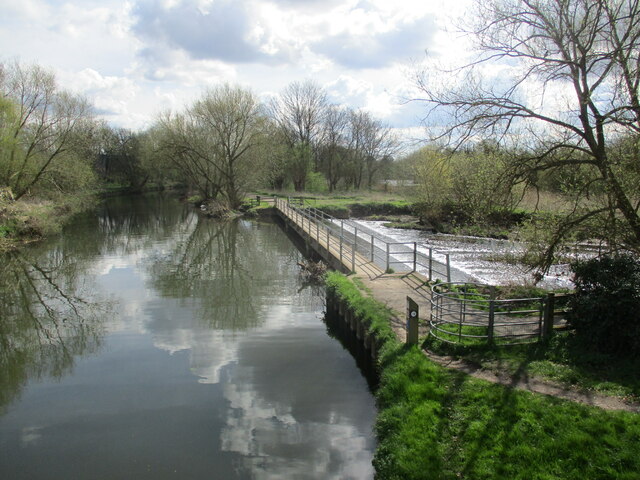
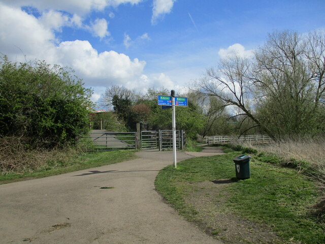
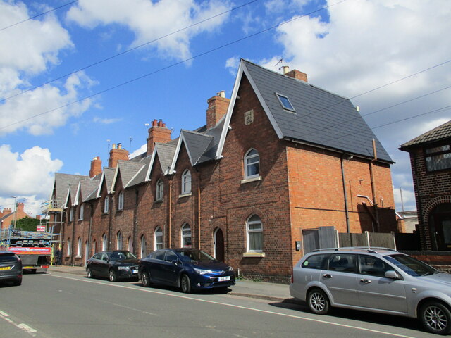
Round Hill Images
Images are sourced within 2km of 52.687027/-1.0895173 or Grid Reference SK6110. Thanks to Geograph Open Source API. All images are credited.


Round Hill is located at Grid Ref: SK6110 (Lat: 52.687027, Lng: -1.0895173)
Administrative County: Leicestershire
District: Charnwood
Police Authority: Leicestershire
What 3 Words
///wanted.voted.resort. Near Syston, Leicestershire
Nearby Locations
Related Wikis

The Roundhill Academy
The Roundhill Academy (formerly Roundhill Community College) is a co-educational secondary school located in Thurmaston, Leicestershire, England. The most...

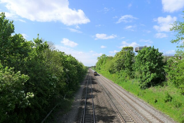
Syston railway station
Syston railway station ( SY-stən) is a railway station serving the town of Syston in Leicestershire, England. The station is on the Midland Main Line...
Birstall Meadows
Birstall Meadows is a 15.6 hectares (39 acres) Local Nature Reserve east of Birstall in Leicestershire. It is part of Watermead Country Park, and is...

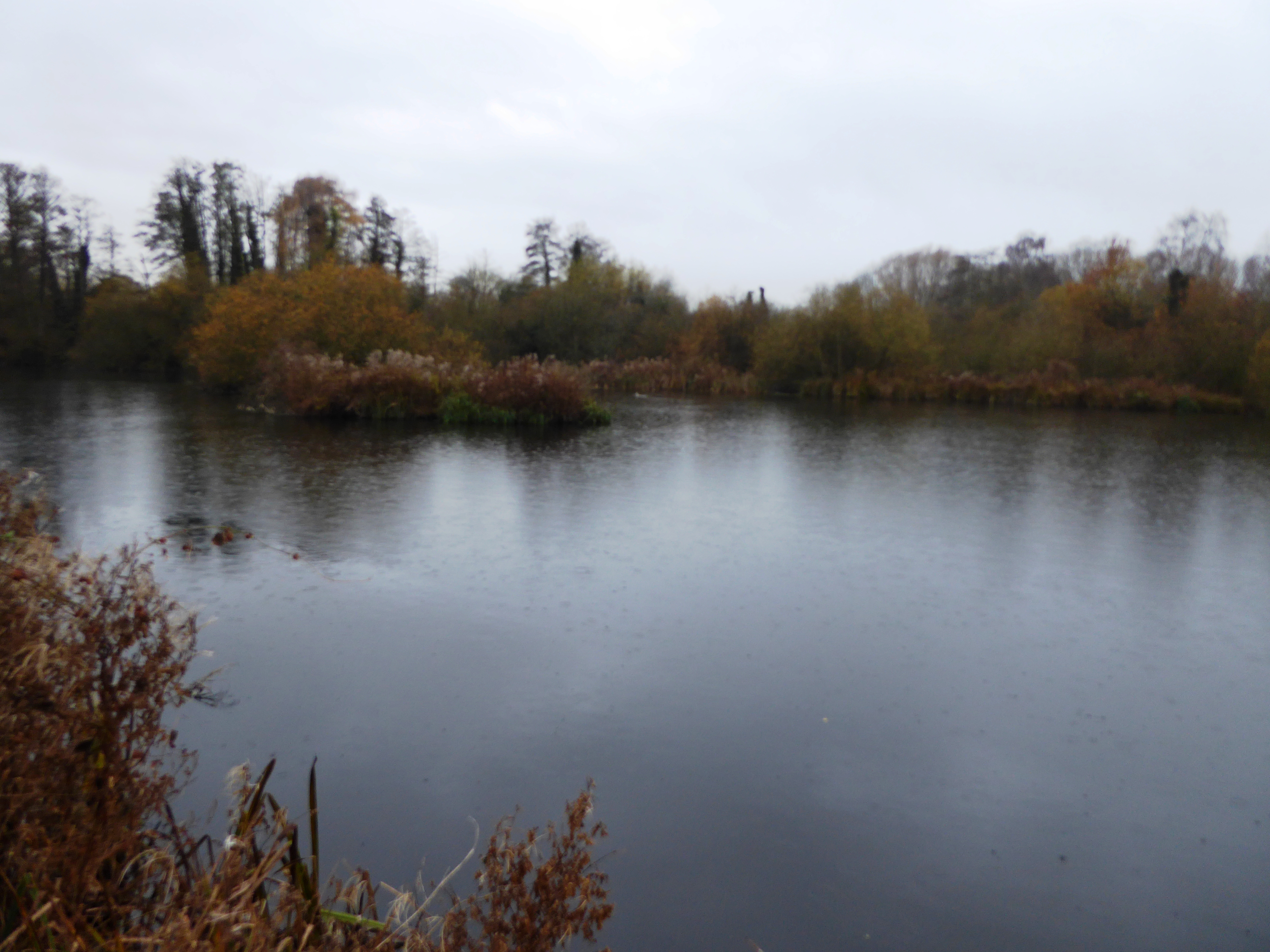
Watermead Country Park
The Watermead Country Park is a network of artificial lakes in the valley of the River Soar and the old Grand Union Canal, in and to the north of Leicester...

Wanlip Meadows
Wanlip Meadows is a 16.2 hectares (40 acres) nature reserve south of Wanlip and north of Leicester. It is owned and managed by the Leicestershire and...

Thurmaston
Thurmaston is a village and civil parish in Leicestershire, England, located within the Borough of Charnwood. At the 2011 census, it had a population of...
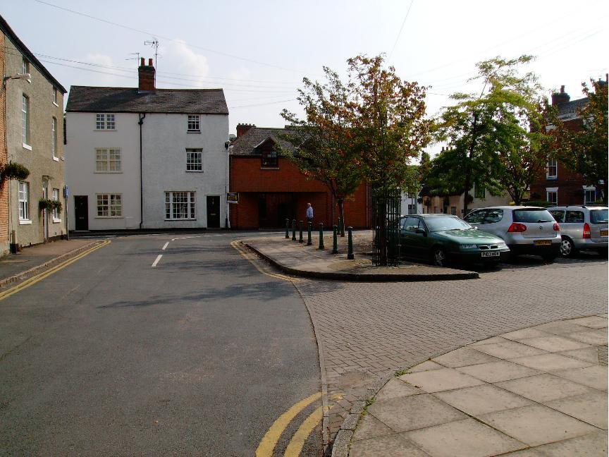
Syston
Syston ( SY-stən) is a town and civil parish in the district of Charnwood in Leicestershire, England. The population was 11,508 at the 2001 census, rising...

Wanlip Hall
Wanlip Hall was a large house in Wanlip near the English city of Leicester. It was the ancestral home of the Palmer family. The building was demolished...
Nearby Amenities
Located within 500m of 52.687027,-1.0895173Have you been to Round Hill?
Leave your review of Round Hill below (or comments, questions and feedback).