Arncott, Upper
Settlement in Oxfordshire Cherwell
England
Arncott, Upper
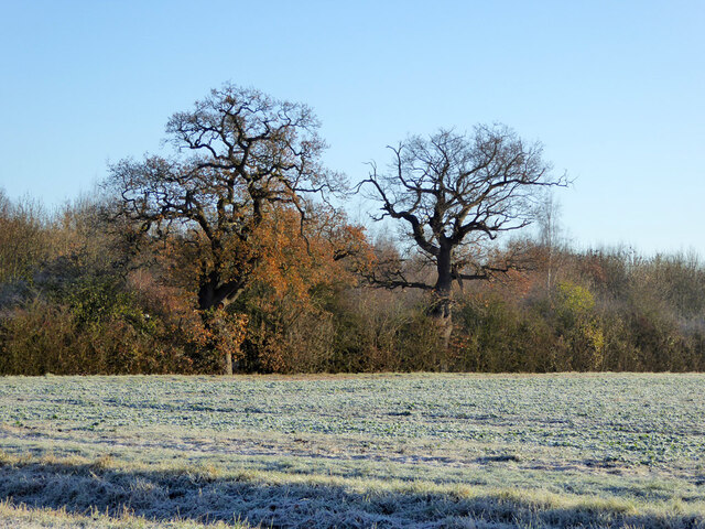
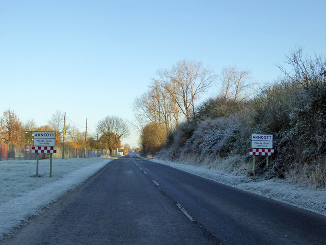
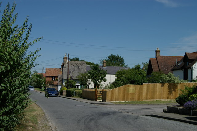
Arncott, Upper is a small village located in the county of Oxfordshire, England. Situated approximately 12 miles northwest of the city of Oxford, it falls under the Cherwell district. The village is surrounded by picturesque countryside, offering a tranquil and idyllic setting for its residents.
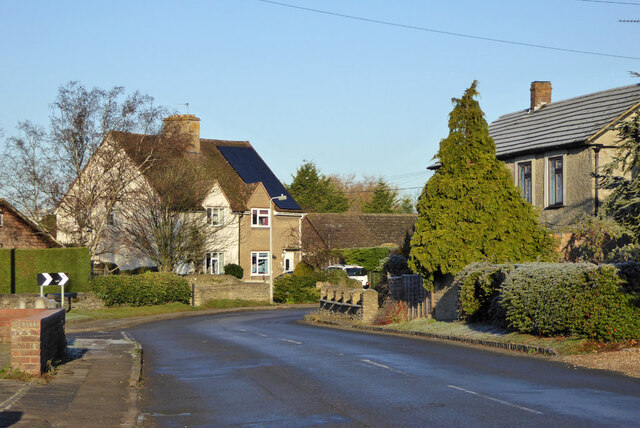
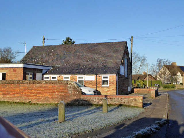
Arncott, Upper has a rich history dating back to the medieval period. The village is known for its traditional stone-built houses and charming cottages, which add to its quaint and historic atmosphere. The local church, St. Peter's, is a notable architectural landmark, showcasing the village's heritage.
Although relatively small, Arncott, Upper has a close-knit community that fosters a strong sense of belonging. The village offers various amenities to its residents, including a village hall, a primary school, a post office, and a local pub. These establishments serve as meeting points for community events and provide essential services to the villagers.
The surrounding countryside offers ample opportunities for outdoor activities, such as hiking, cycling, and horseback riding. The village is also conveniently located near the Bicester Village Shopping Outlet, which attracts visitors from far and wide.
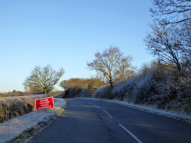
Arncott, Upper benefits from its proximity to larger towns and cities, such as Oxford and Bicester, which provide additional amenities and employment opportunities. The village is well-connected to these urban centers via road networks, making it an ideal place for commuters seeking a more peaceful lifestyle.
Overall, Arncott, Upper is a charming village with a strong sense of community, rich history, and access to both rural and urban amenities. It offers a peaceful and idyllic setting for residents looking to enjoy the beauty of Oxfordshire's countryside.
If you have any feedback on the listing, please let us know in the comments section below.
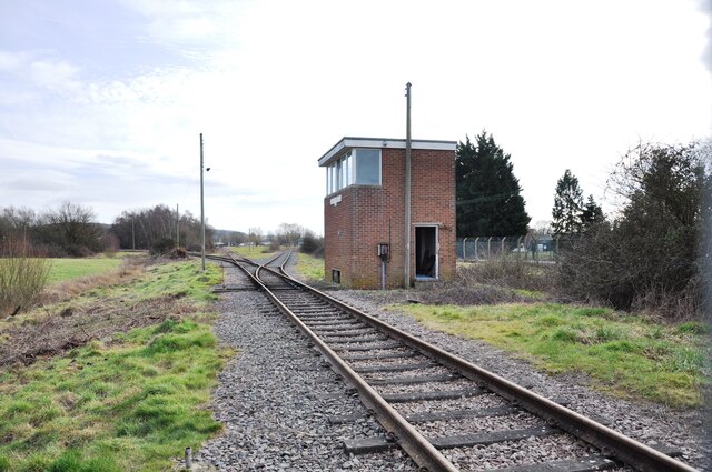
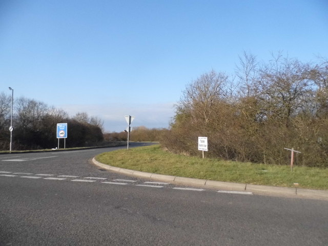
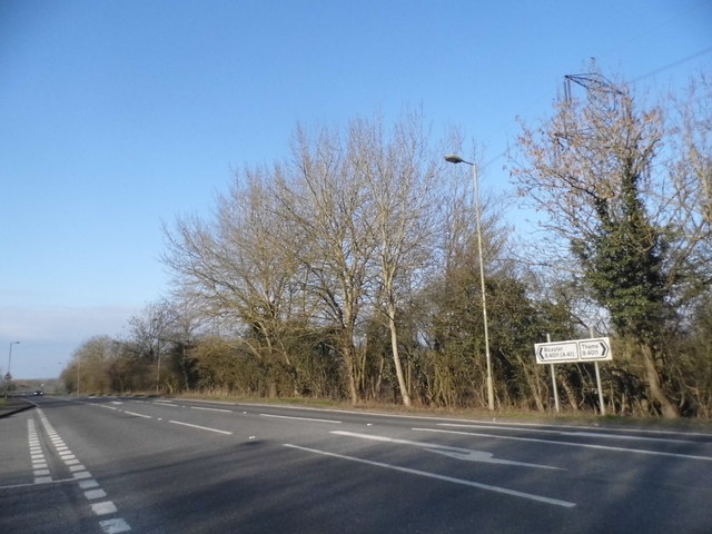
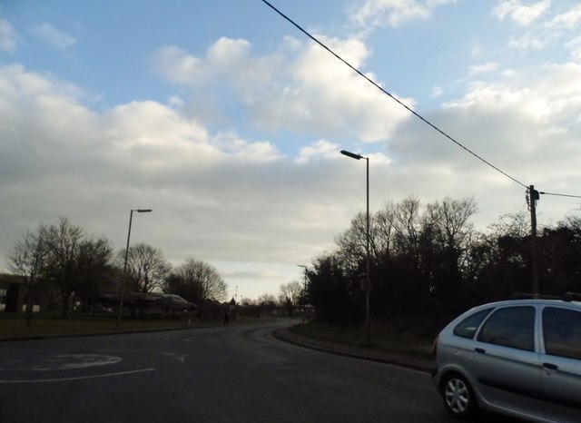
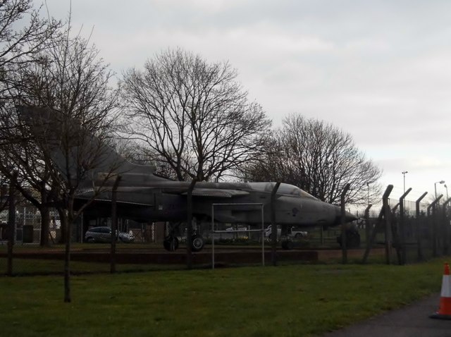
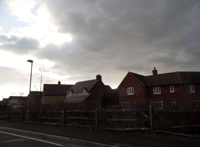
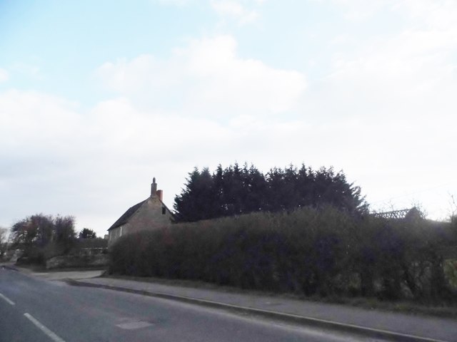
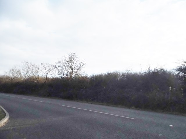
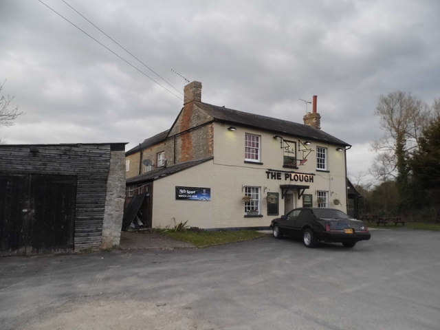
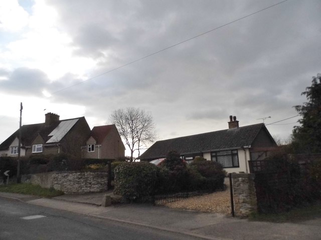
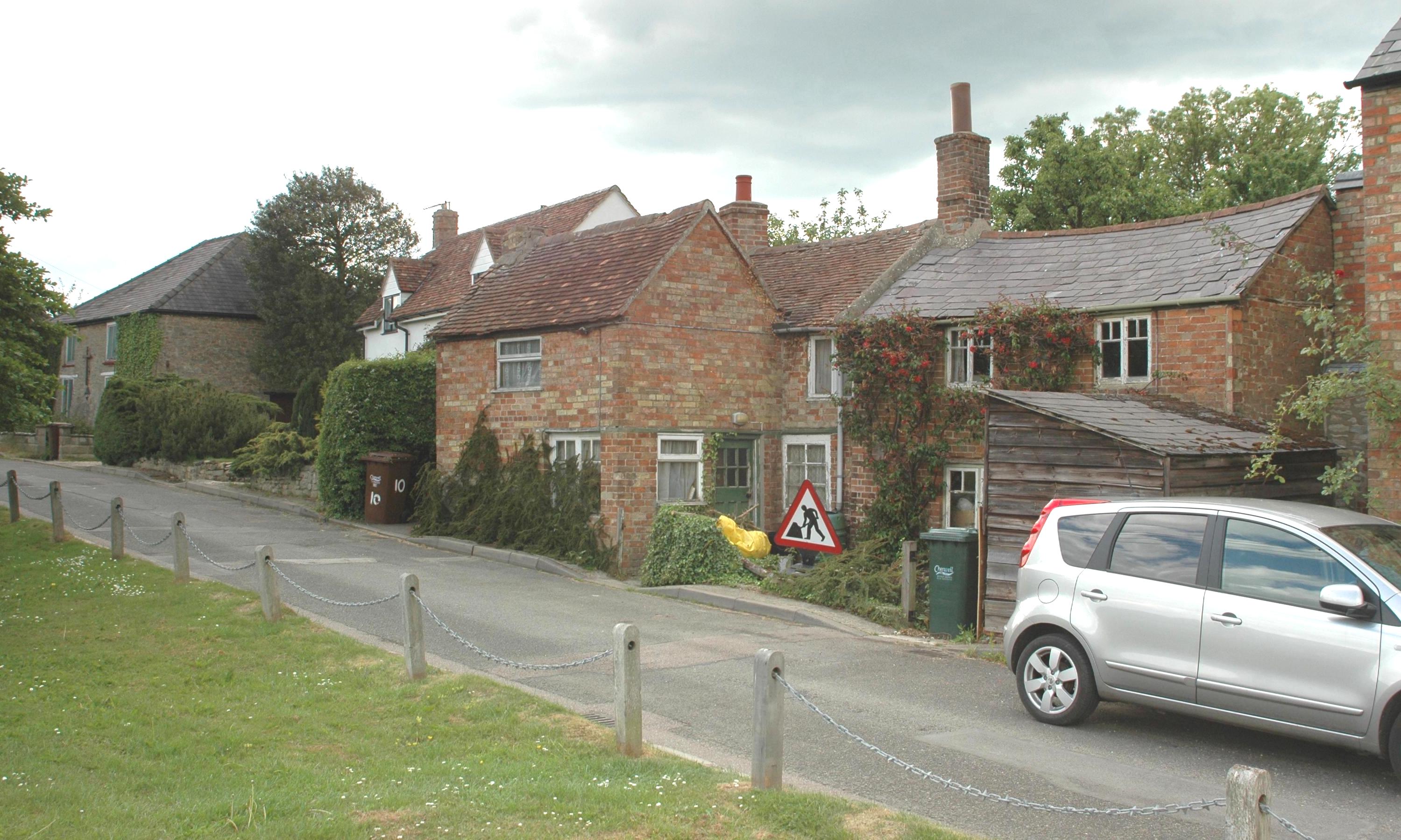
Arncott, Upper Images
Images are sourced within 2km of 51.851966/-1.110698 or Grid Reference SP6117. Thanks to Geograph Open Source API. All images are credited.
Arncott, Upper is located at Grid Ref: SP6117 (Lat: 51.851966, Lng: -1.110698)
Administrative County: Oxfordshire
District: Cherwell
Police Authority: Thames Valley
What 3 Words
///umbrella.replying.cello. Near Ambrosden, Oxfordshire
Nearby Locations
Related Wikis
Arncott
Arncott or Arncot is a village and civil parish about 3+1⁄2 miles (5.6 km) southeast of Bicester in Oxfordshire. The 2011 Census recorded the parish's...
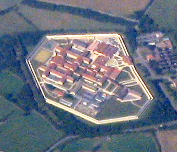
HM Prison Bullingdon
HM Prison and Young Offenders Institute Bullingdon is a prison in Oxfordshire, England. It is a public sector prison operated by HM Prison and Probation...
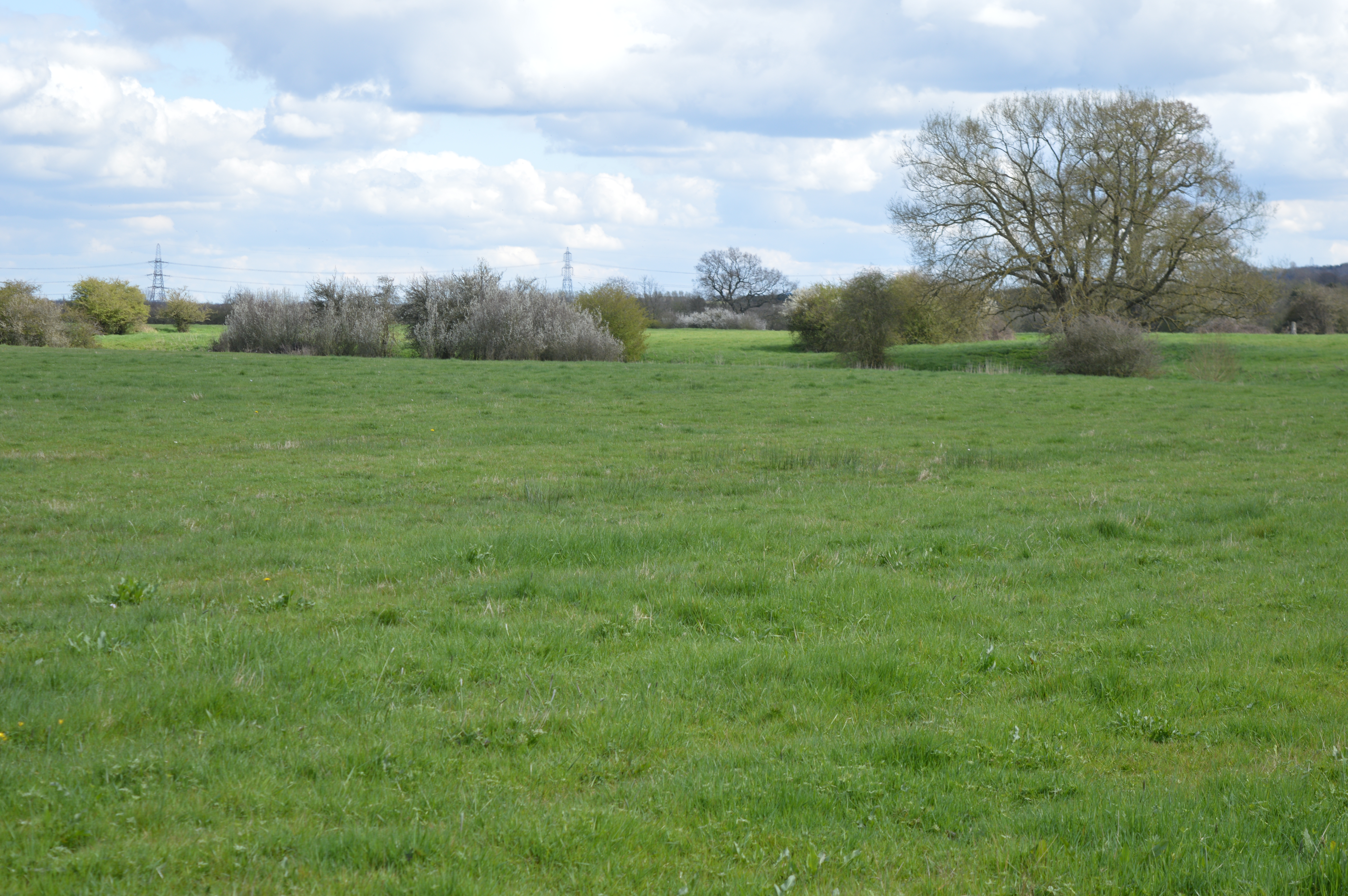
Arncott Bridge Meadows
Arncott Bridge Meadows is an 8.7-hectare (21-acre) biological Site of Special Scientific Interest in Arncott in Oxfordshire.The site is adjacent to the...
Blackthorn, Oxfordshire
Blackthorn is a village and civil parish in the Cherwell District of Oxfordshire about 3 miles (5 km) southeast of Bicester. The parish is bounded by the...

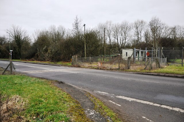
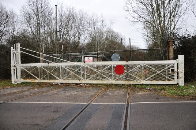
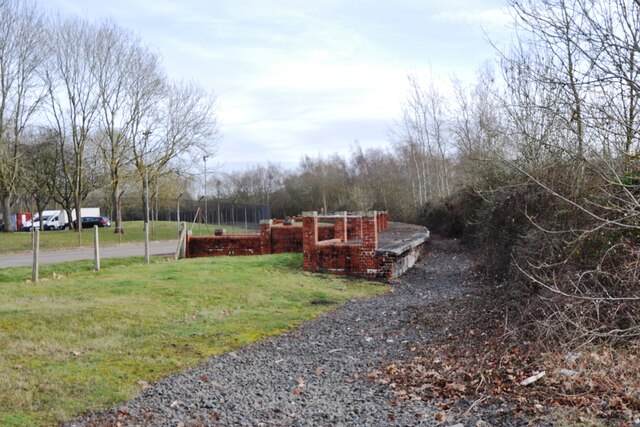
Bicester Military Railway
The Bicester Military Railway (BMR) is a railway in Oxfordshire, England belonging to the Ministry of Defence. It links military depots at Piddington,...
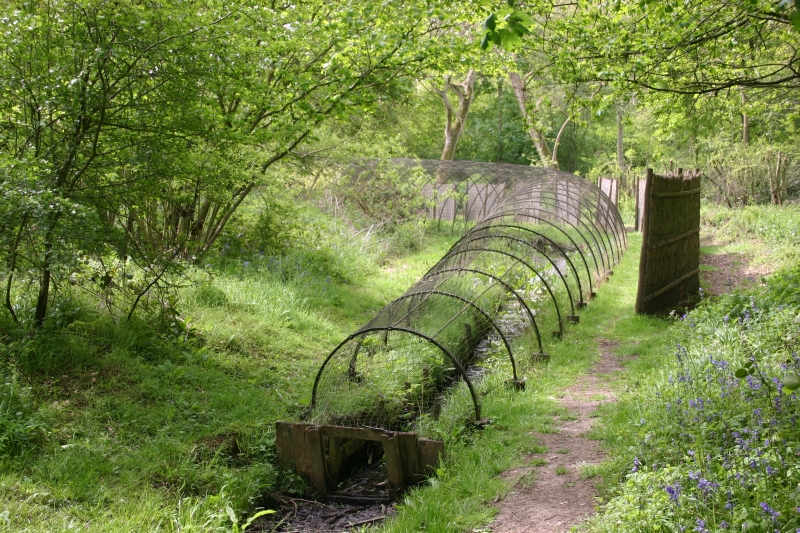
Boarstall Duck Decoy
The Boarstall Duck Decoy is a 17th-century duck decoy located in Boarstall, Buckinghamshire, England, and now a National Trust property. The system took...

Piddington, Oxfordshire
Piddington is a village and civil parish about 4.5 miles (7 km) southeast of Bicester in Oxfordshire, England. It lies close to the border with Buckinghamshire...

Ambrosden
Ambrosden is a village and civil parish in Cherwell, Oxfordshire, England, 3 miles (5 km) southwest of Bicester to which it is linked by the A41 road,...
Nearby Amenities
Located within 500m of 51.851966,-1.110698Have you been to Arncott, Upper?
Leave your review of Arncott, Upper below (or comments, questions and feedback).