Upper Armley
Settlement in Yorkshire
England
Upper Armley
Upper Armley is a small suburban area located in the county of Yorkshire, England. Situated on the western outskirts of Leeds, it lies approximately 2 miles west of the city center. The neighborhood is nestled between the River Aire to the east and the rolling hills of Yorkshire to the west.
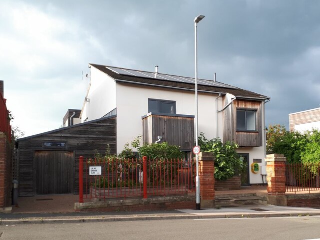
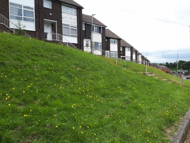
Upper Armley is primarily a residential area, characterized by a mix of housing styles, including terraced houses, semi-detached properties, and some modern developments. The community is known for its tight-knit feel and friendly atmosphere, attracting families and professionals looking for a quieter place to call home.
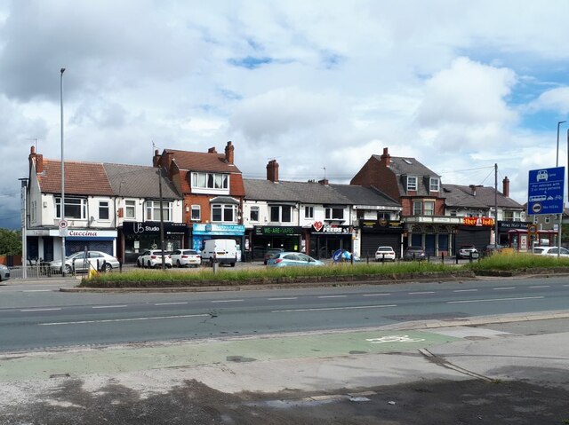
Despite its residential focus, Upper Armley benefits from a range of amenities and services. Local shops, supermarkets, and convenience stores cater to the day-to-day needs of residents, while a variety of eateries, cafes, and pubs offer dining and socializing options. The area also features green spaces and parks, providing opportunities for outdoor activities and leisurely strolls.
Transportation links are well-established, with regular bus services connecting Upper Armley to Leeds city center and other surrounding areas. The nearby Armley Moor train station offers additional transport options, facilitating easy access to the wider region.
Upper Armley boasts a rich historical heritage, with several notable landmarks in the vicinity. The Grade II listed Armley Mills, once the world's largest woollen mill, stands as a testament to the area's industrial past. Additionally, the captivating ruins of Kirkstall Abbey, a medieval Cistercian monastery, lie a short distance away, offering visitors a glimpse into the region's history.
Overall, Upper Armley presents an attractive residential option, combining a peaceful environment, convenient amenities, and a touch of history amidst the picturesque Yorkshire landscape.
If you have any feedback on the listing, please let us know in the comments section below.
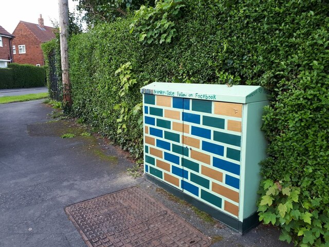
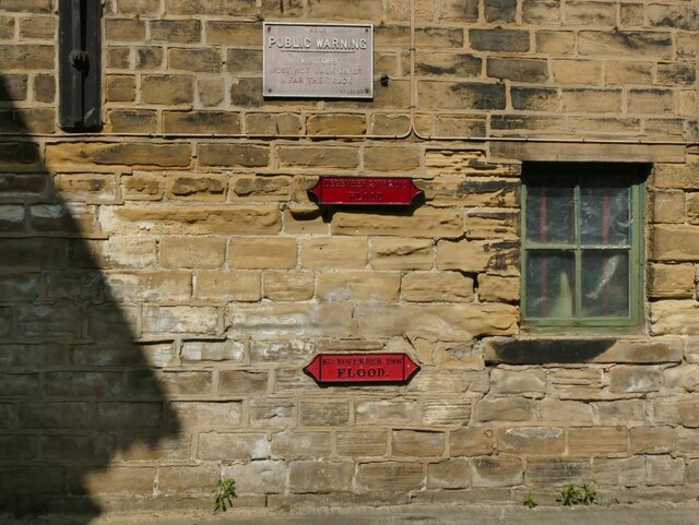
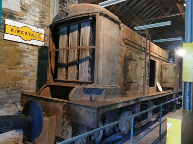
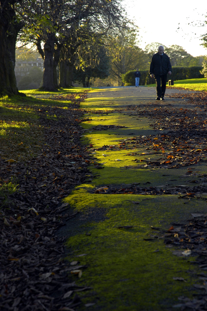
Upper Armley Images
Images are sourced within 2km of 53.802534/-1.601393 or Grid Reference SE2634. Thanks to Geograph Open Source API. All images are credited.


Upper Armley is located at Grid Ref: SE2634 (Lat: 53.802534, Lng: -1.601393)
Division: West Riding
Unitary Authority: Leeds
Police Authority: West Yorkshire
What 3 Words
///remove.photos.urgent. Near Holbeck, West Yorkshire
Nearby Locations
Related Wikis
Armley Park
Armley Park is a large public park located next to Stanningley Road in Armley, on the outskirts of Leeds, in West Yorkshire, Northern England. The park...
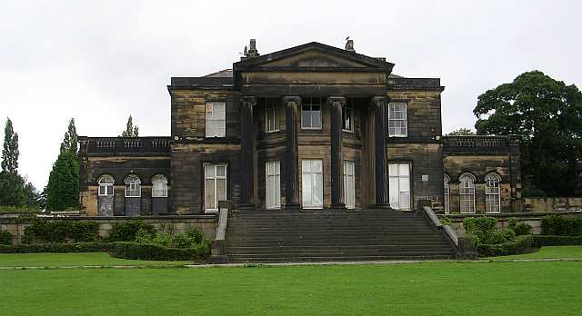
Gotts Park Mansion
Gotts Park Mansion, formerly known as Armley House, is a Grade II listed country house in Armley Park, 3 miles from Leeds city centre. Formerly the home...
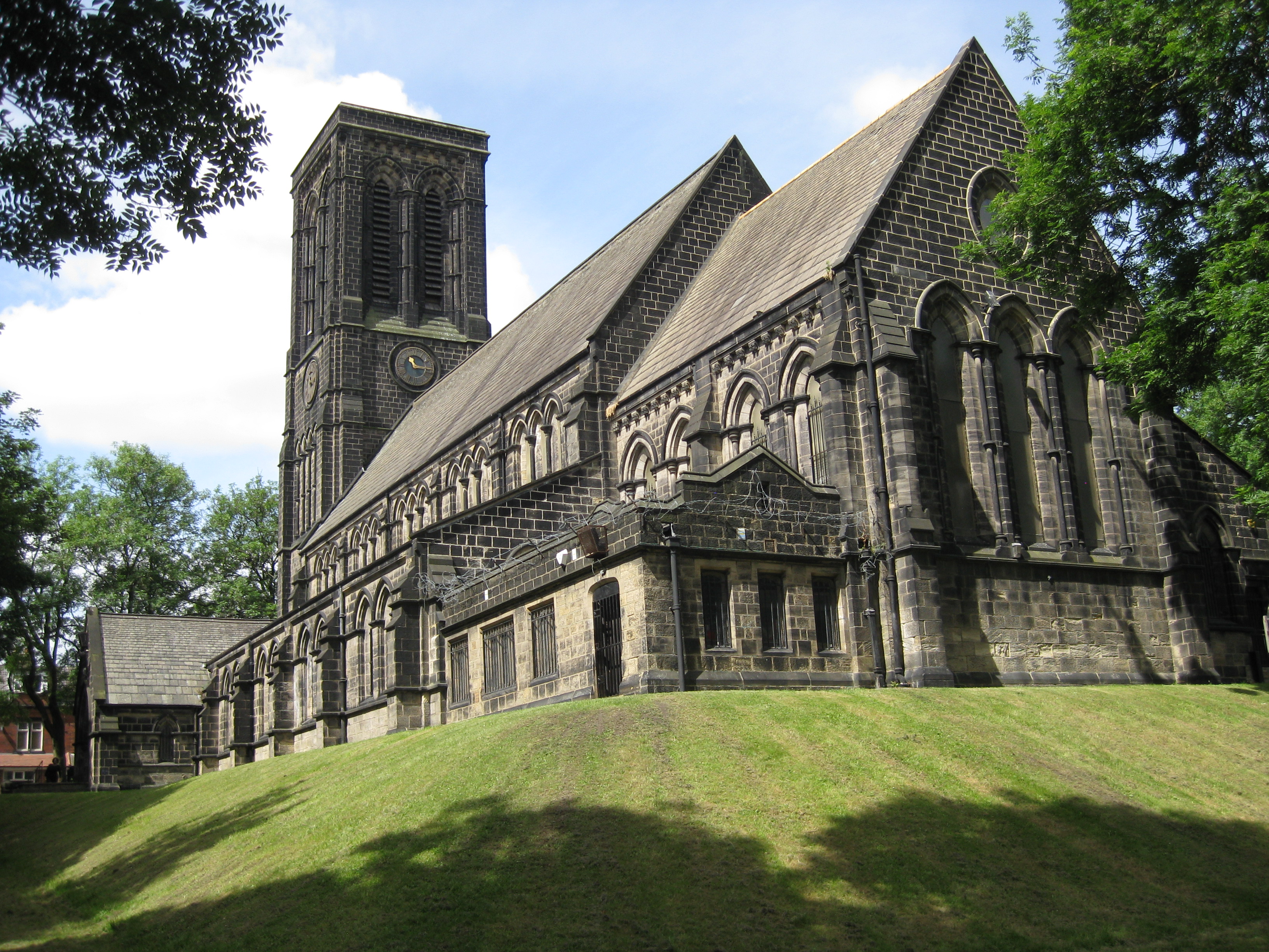
Christ Church, Armley
Christ Church in Armley, Leeds, West Yorkshire, England is an active Anglican parish church in the archdeaconry of Leeds and the Diocese of Leeds. The...

Kirkstall Power Station
Kirkstall Power Station was a coal-fired unit opened in 1930, serving the city of Leeds, West Yorkshire, England. It was situated in Kirkstall by the River...
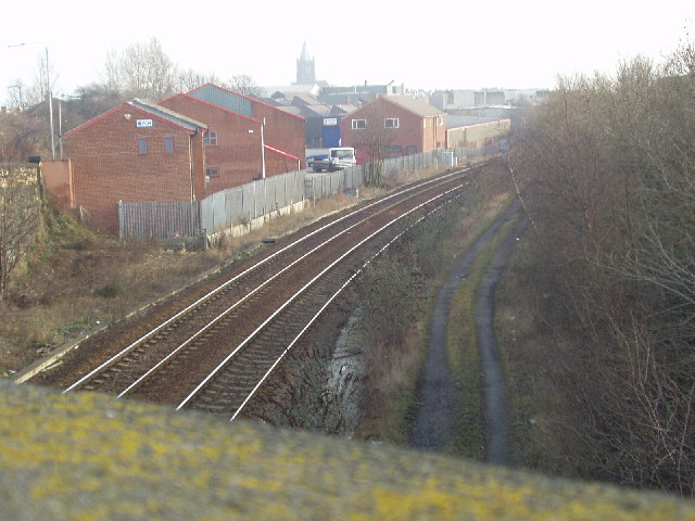
Armley Moor railway station
Armley Moor railway station was a station on the former Great Northern Railway between Leeds and Bramley. The location was between Carr Crofts and Wortley...

Dixons Unity Academy
Dixons Unity Academy, formerly Swallow Hill Community College is an educational secondary school Academy located in Leeds, West Yorkshire, England. It...

West Leeds High School
West Leeds High School Specialist Technology College was a mixed comprehensive school located in Armley in Leeds, West Yorkshire, England. The school had...
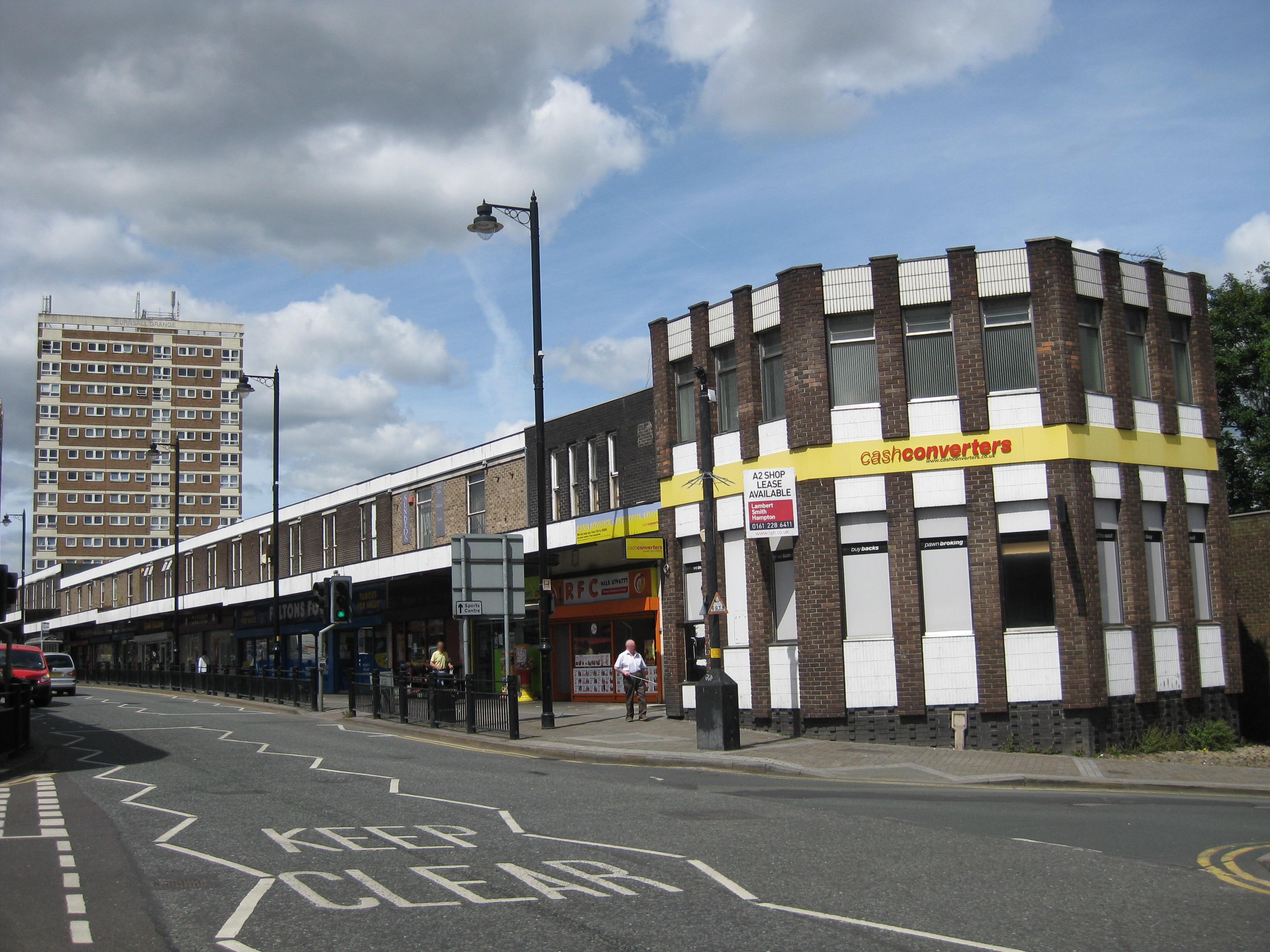
Armley
Armley is a district in the west of Leeds, West Yorkshire, England. It starts less than 1 mile (1.6 km) from Leeds city centre. Like much of Leeds, Armley...
Nearby Amenities
Located within 500m of 53.802534,-1.601393Have you been to Upper Armley?
Leave your review of Upper Armley below (or comments, questions and feedback).