Armley, Upper
Settlement in Yorkshire
England
Armley, Upper

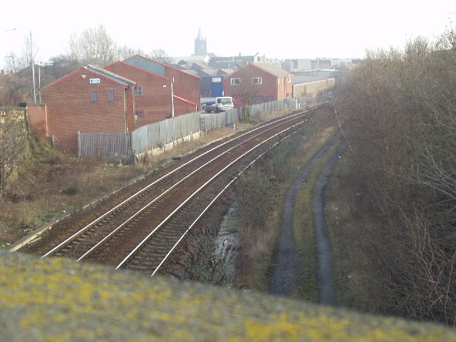
Armley is a district located in the Upper region of Yorkshire, England. Situated approximately 2 miles west of Leeds city center, Armley is characterized by its industrial heritage and diverse community. The district is bounded by the River Aire to the north and the Leeds and Liverpool Canal to the south, adding to its picturesque surroundings.
Armley has a rich history that dates back to the medieval era when it was primarily an agricultural area. However, with the advent of the industrial revolution, the district experienced significant growth as it became a hub for textile manufacturing and coal mining. The remnants of these industries can still be seen in some of the old mills and Victorian terraced houses that line the streets.
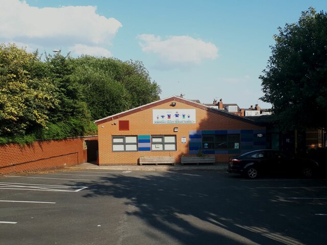
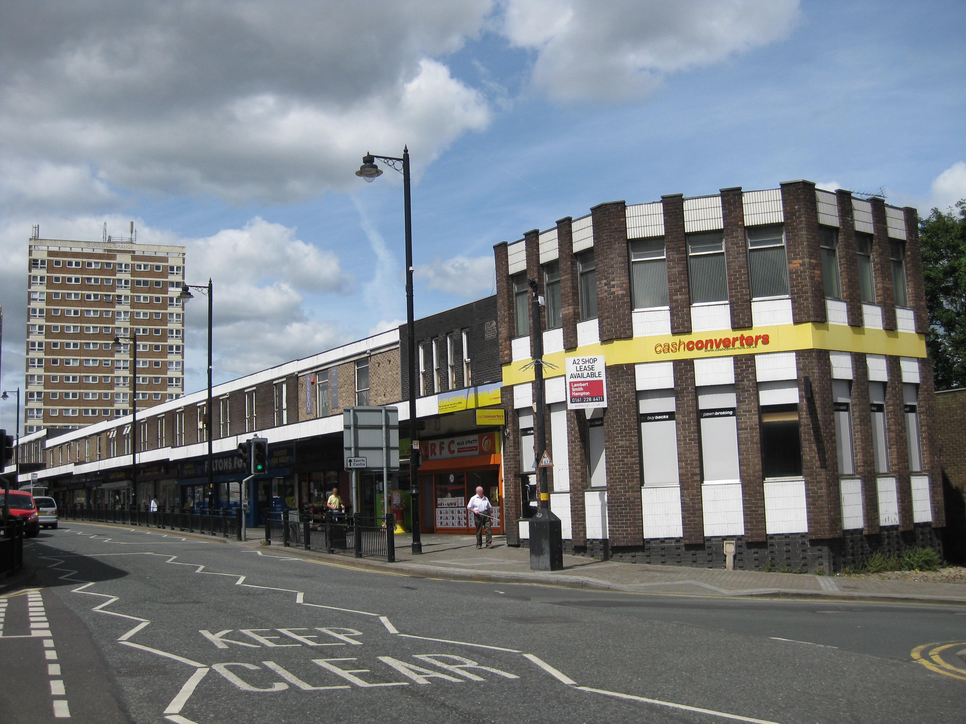
In terms of amenities, Armley offers a range of facilities to its residents. There are several primary and secondary schools in the area, ensuring access to quality education. The district also benefits from the Armley Leisure Center, which provides recreational activities and sports facilities for the community.
Armley is well-connected to the rest of Leeds and surrounding areas through a reliable public transport network. Several bus routes serve the district, making it easily accessible for commuters and visitors alike. The nearby Armley Moor train station enhances connectivity for those preferring rail travel.
The community in Armley is known for its vibrant and diverse population, with people from different ethnic backgrounds living harmoniously together. The district also hosts numerous cultural events and festivals that showcase its rich heritage.
Overall, Armley is a historic and thriving district in Upper Yorkshire, offering a pleasant living environment and a strong sense of community.
If you have any feedback on the listing, please let us know in the comments section below.
Armley, Upper Images
Images are sourced within 2km of 53.802534/-1.601393 or Grid Reference SE2634. Thanks to Geograph Open Source API. All images are credited.


Armley, Upper is located at Grid Ref: SE2634 (Lat: 53.802534, Lng: -1.601393)
Division: West Riding
Unitary Authority: Leeds
Police Authority: West Yorkshire
What 3 Words
///remove.photos.urgent. Near Holbeck, West Yorkshire
Nearby Locations
Related Wikis
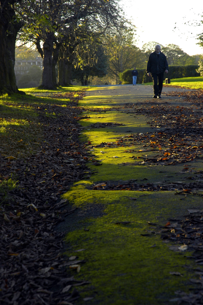
Armley Park
Armley Park is a large public park located next to Stanningley Road in Armley, on the outskirts of Leeds, in West Yorkshire, Northern England. The park...
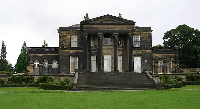
Gotts Park Mansion
Gotts Park Mansion, formerly known as Armley House, is a Grade II listed country house in Armley Park, 3 miles from Leeds city centre. Formerly the home...
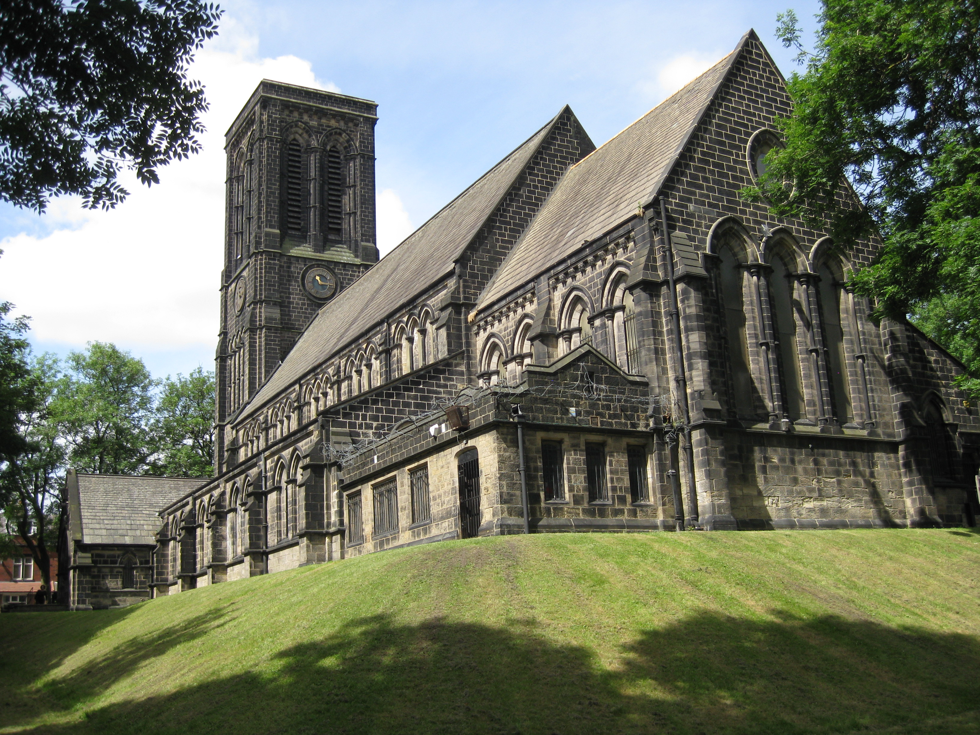
Christ Church, Armley
Christ Church in Armley, Leeds, West Yorkshire, England is an active Anglican parish church in the archdeaconry of Leeds and the Diocese of Leeds. The...

Kirkstall Power Station
Kirkstall Power Station was a coal-fired unit opened in 1930, serving the city of Leeds, West Yorkshire, England. It was situated in Kirkstall by the River...
Armley Moor railway station
Armley Moor railway station was a station on the former Great Northern Railway between Leeds and Bramley. The location was between Carr Crofts and Wortley...

Dixons Unity Academy
Dixons Unity Academy, formerly Swallow Hill Community College is an educational secondary school Academy located in Leeds, West Yorkshire, England. It...

West Leeds High School
West Leeds High School Specialist Technology College was a mixed comprehensive school located in Armley in Leeds, West Yorkshire, England. The school had...
Armley
Armley is a district in the west of Leeds, West Yorkshire, England. It starts less than 1 mile (1.6 km) from Leeds city centre. Like much of Leeds, Armley...
Nearby Amenities
Located within 500m of 53.802534,-1.601393Have you been to Armley, Upper?
Leave your review of Armley, Upper below (or comments, questions and feedback).