Upper Arley
Settlement in Staffordshire Wyre Forest
England
Upper Arley
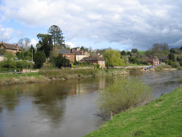
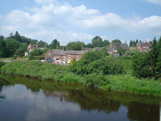
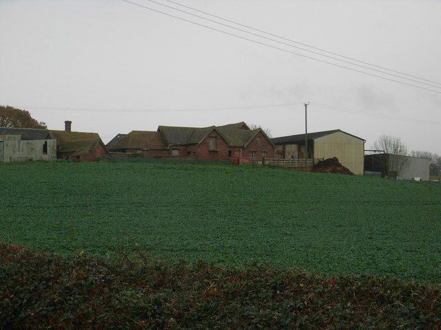
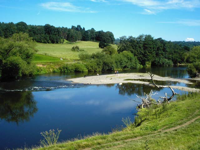
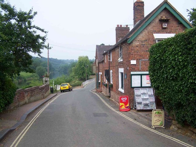
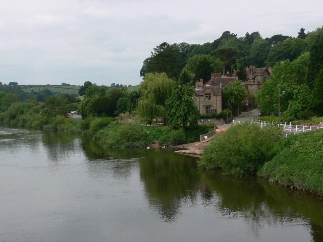
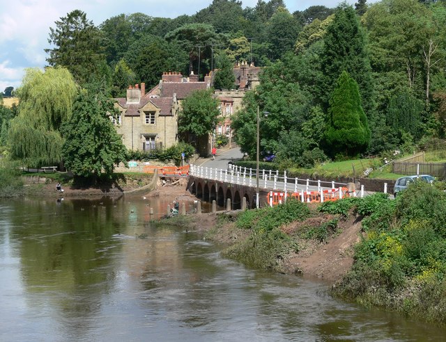
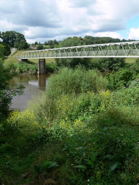
Upper Arley is a small village located in Staffordshire, England. Situated on the banks of the River Severn, it is part of the Wyre Forest District and lies within the heart of the beautiful Wyre Forest National Nature Reserve. The village is surrounded by lush greenery and offers a tranquil and picturesque setting.
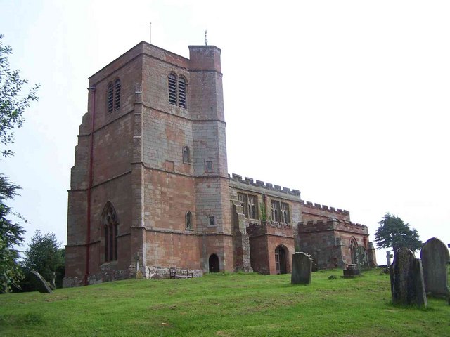
The history of Upper Arley dates back many centuries, with evidence of human activity in the area since the Iron Age. The village itself has a rich history, with the Grade II listed St Peter's Church standing as a testament to its past. The church, dating back to the 12th century, features stunning architectural details and serves as a focal point for the community.
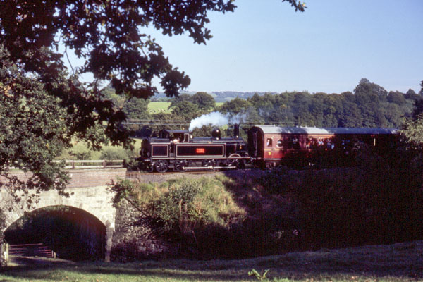
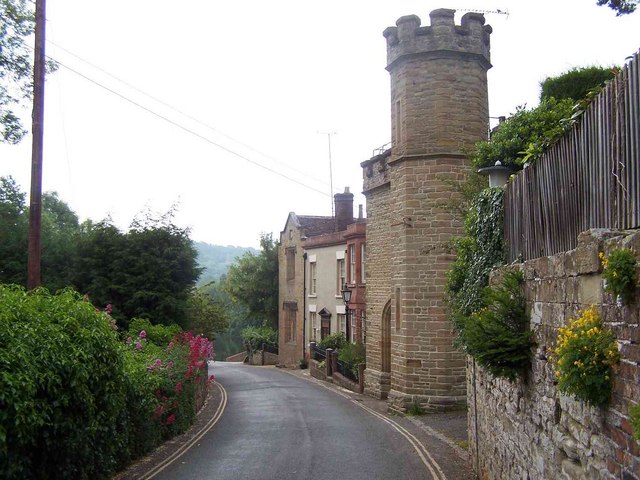
Despite its small size, Upper Arley offers several amenities for residents and visitors. The village is home to a primary school, a village hall, and a local pub, providing a sense of community and a meeting place for locals. Additionally, Upper Arley is well-known for its heritage steam railway, the Severn Valley Railway, which passes through the village and attracts tourists from far and wide.
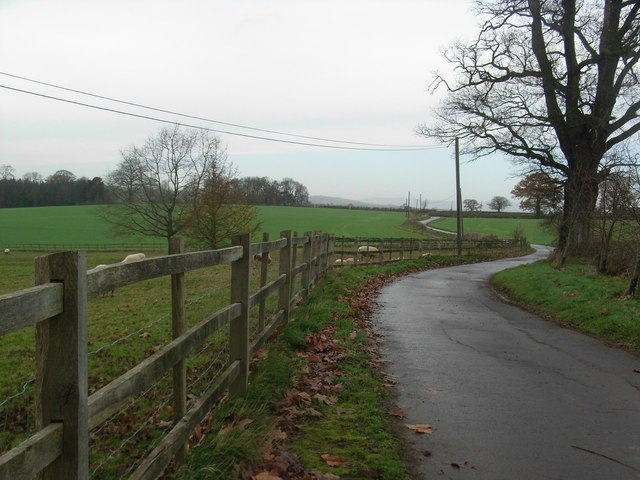
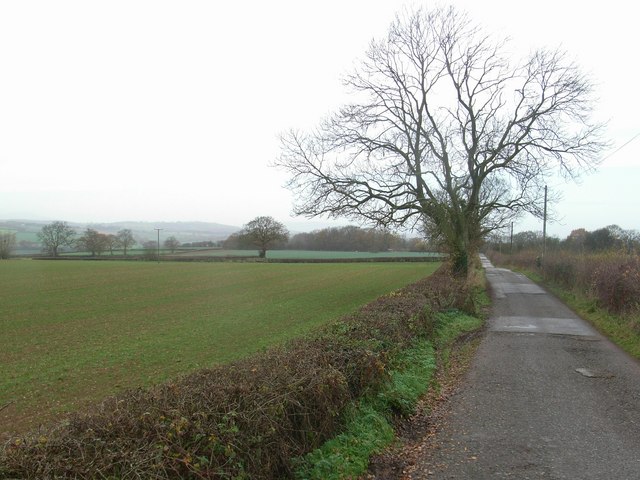
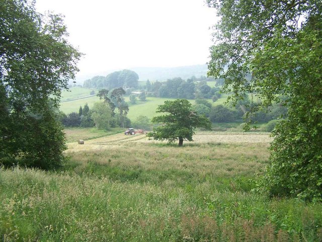
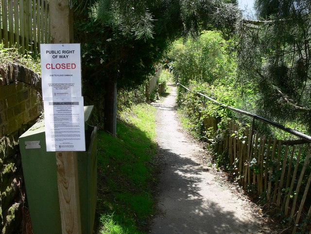
The surrounding countryside offers numerous opportunities for outdoor activities, including walking, cycling, and boating along the River Severn. The Wyre Forest National Nature Reserve is a haven for wildlife enthusiasts, with its diverse flora and fauna and well-maintained walking trails.
Upper Arley's idyllic setting, rich history, and access to natural beauty make it an attractive destination for those seeking a peaceful retreat in the Staffordshire countryside.
If you have any feedback on the listing, please let us know in the comments section below.
Upper Arley Images
Images are sourced within 2km of 52.419897/-2.341845 or Grid Reference SO7680. Thanks to Geograph Open Source API. All images are credited.

Upper Arley is located at Grid Ref: SO7680 (Lat: 52.419897, Lng: -2.341845)
Administrative County: Worcestershire
District: Wyre Forest
Police Authority: West Mercia
What 3 Words
///either.intend.regarding. Near Romsley, Shropshire
Nearby Locations
Related Wikis

Upper Arley
Upper Arley (grid reference SO765805) is a village and civil parish near Kidderminster in the Wyre Forest District of Worcestershire, England. Historically...

Arley House and Gardens
Arley House and Gardens are situated at Upper Arley, about 4 miles (6.4 km) north-west of Bewdley, in Worcestershire, England. The gardens, arboretum and...

Arley railway station
Arley railway station is a station on the Severn Valley Railway heritage line in Worcestershire, situated just over the River Severn from the village of...

Shatterford Hill
Shatterford Hill is an English geographical feature that extends from Bewdley in north Worcestershire to Birdsgreen near Alveley, just over the border...

Victoria Bridge, Worcestershire
The Victoria Bridge crosses the River Severn between Arley and Bewdley in Worcestershire, England. At the time of its construction, the 200-foot railway...

Pound Green
Pound Green is a hamlet in Upper Arley, Worcestershire, England. It has a number of tourist landmarks such as Ye Olde New Inn and a village hall that also...

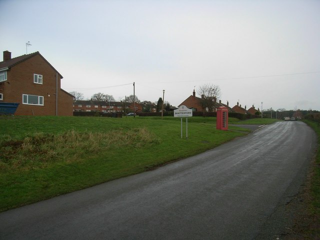
Shatterford
Shatterford is a village in the Wyre Forest District of Worcestershire, England, located north-west of Bewdley and lies less than a mile from the county...

Button Oak
Button Oak is a small village in the English county of Shropshire, England. It is 3 miles north west of Bewdley. Button Oak is very similar to nearby...
Nearby Amenities
Located within 500m of 52.419897,-2.341845Have you been to Upper Arley?
Leave your review of Upper Arley below (or comments, questions and feedback).