Arley, Upper
Settlement in Staffordshire Wyre Forest
England
Arley, Upper
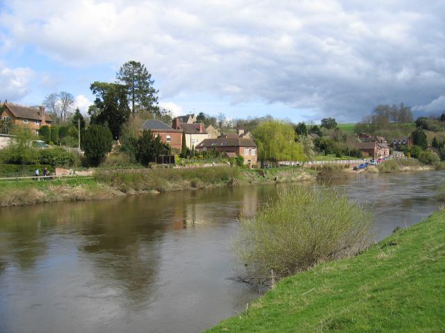
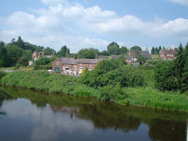
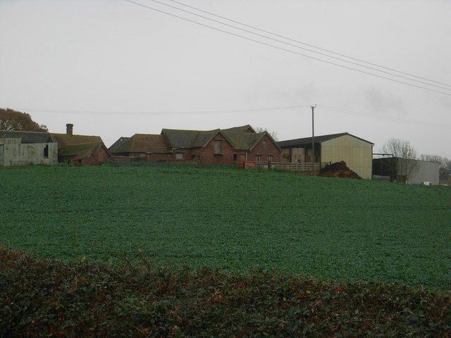
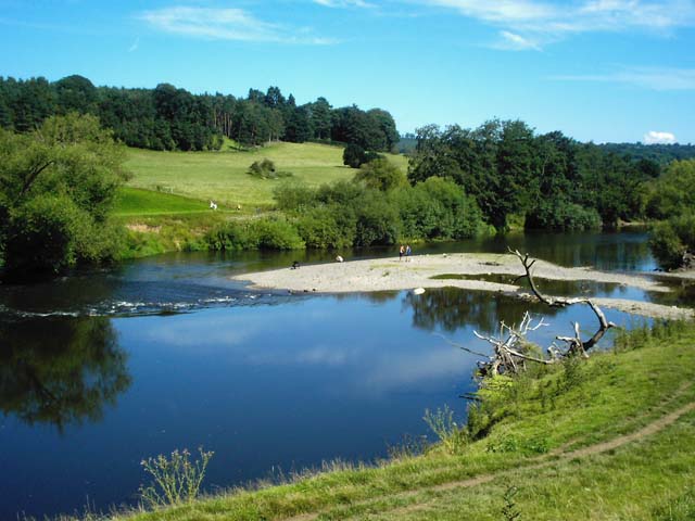
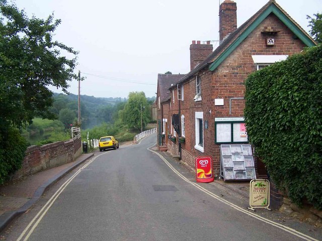
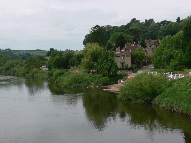
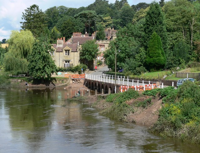
Arley is a small village located in Upper Staffordshire, England. Situated approximately 6 miles east of the town of Kidderminster, it is nestled in the picturesque Severn Valley. Arley is known for its beautiful countryside, charming cottages, and historic landmarks.
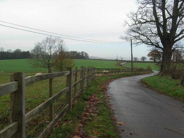
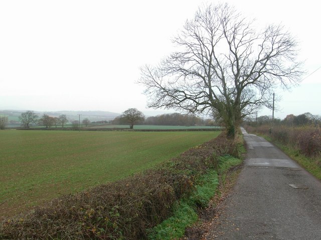
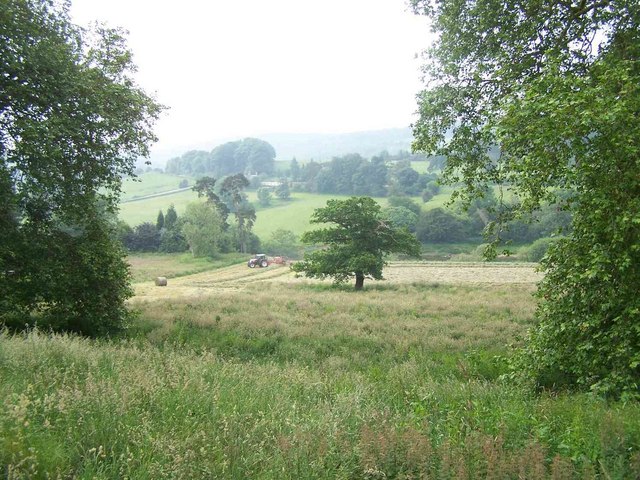
The village is home to a close-knit community, with a population of around 500 residents. It has a peaceful and tranquil atmosphere, making it an ideal place for those looking to escape the hustle and bustle of city life. Arley is surrounded by lush green fields and rolling hills, offering breathtaking views and ample opportunities for outdoor activities such as hiking and cycling.
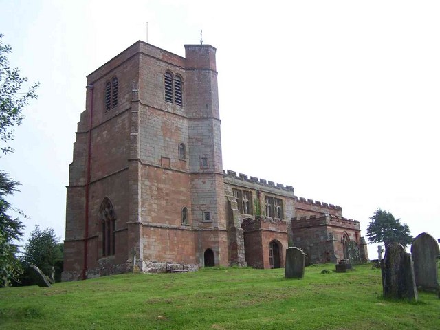
Arley is famous for its historic attractions, most notably Arley Hall and Gardens. The hall, a Grade II listed building, dates back to the 15th century and is renowned for its stunning architecture and extensive gardens. Visitors can explore the hall's rich history through guided tours and admire the beautifully landscaped gardens, which feature a variety of rare plants and flowers.
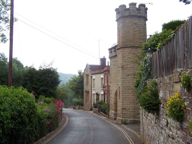
The village also boasts several charming pubs and quaint tearooms, offering visitors a chance to relax and enjoy traditional British cuisine. The local shops in Arley provide essential amenities for residents and visitors alike, creating a sense of community and convenience within the village.
Overall, Arley is a hidden gem in Upper Staffordshire, offering a peaceful retreat for nature lovers and history enthusiasts. Its idyllic countryside and historic landmarks make it a must-visit destination for those seeking a taste of rural England.
If you have any feedback on the listing, please let us know in the comments section below.
Arley, Upper Images
Images are sourced within 2km of 52.419897/-2.341845 or Grid Reference SO7680. Thanks to Geograph Open Source API. All images are credited.

Arley, Upper is located at Grid Ref: SO7680 (Lat: 52.419897, Lng: -2.341845)
Administrative County: Worcestershire
District: Wyre Forest
Police Authority: West Mercia
What 3 Words
///either.intend.regarding. Near Romsley, Shropshire
Nearby Locations
Related Wikis

Upper Arley
Upper Arley (grid reference SO765805) is a village and civil parish near Kidderminster in the Wyre Forest District of Worcestershire, England. Historically...

Arley House and Gardens
Arley House and Gardens are situated at Upper Arley, about 4 miles (6.4 km) north-west of Bewdley, in Worcestershire, England. The gardens, arboretum and...

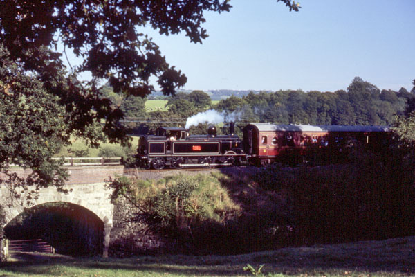
Arley railway station
Arley railway station is a station on the Severn Valley Railway heritage line in Worcestershire, situated just over the River Severn from the village of...

Shatterford Hill
Shatterford Hill is an English geographical feature that extends from Bewdley in north Worcestershire to Birdsgreen near Alveley, just over the border...

Victoria Bridge, Worcestershire
The Victoria Bridge crosses the River Severn between Arley and Bewdley in Worcestershire, England. At the time of its construction, the 200-foot railway...

Pound Green
Pound Green is a hamlet in Upper Arley, Worcestershire, England. It has a number of tourist landmarks such as Ye Olde New Inn and a village hall that also...

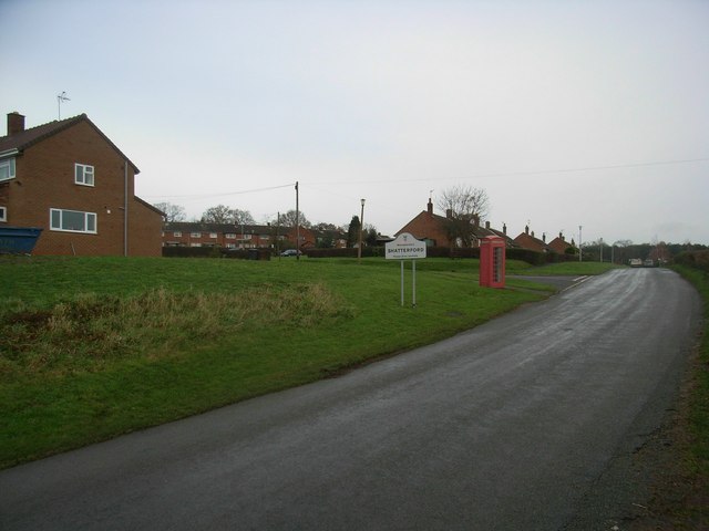
Shatterford
Shatterford is a village in the Wyre Forest District of Worcestershire, England, located north-west of Bewdley and lies less than a mile from the county...

Button Oak
Button Oak is a small village in the English county of Shropshire, England. It is 3 miles north west of Bewdley. Button Oak is very similar to nearby...
Nearby Amenities
Located within 500m of 52.419897,-2.341845Have you been to Arley, Upper?
Leave your review of Arley, Upper below (or comments, questions and feedback).