Upper Ardchronie
Settlement in Ross-shire
Scotland
Upper Ardchronie

Upper Ardchronie is a small rural settlement located in the county of Ross-shire, in the Highlands region of Scotland. Situated amidst picturesque countryside, it is nestled between the towns of Dingwall and Evanton. The village is known for its tranquil and idyllic setting, offering residents and visitors a serene escape from the hustle and bustle of urban life.
Characterized by its charming and traditional architecture, Upper Ardchronie comprises a cluster of houses, cottages, and farmsteads. The community's close-knit nature is evident in the warm and friendly atmosphere that permeates the area. The residents of Upper Ardchronie are primarily engaged in agricultural activities, with farming being the primary livelihood. The surrounding fertile lands are ideal for grazing livestock and cultivating crops, making agriculture a significant part of the local economy.
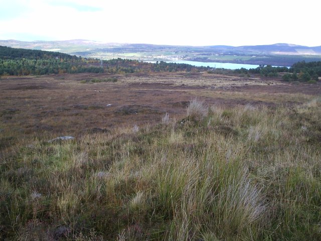
The natural beauty of Upper Ardchronie is truly captivating. Rolling hills, verdant meadows, and meandering streams contribute to the aesthetic appeal of the village. The area is also home to a diverse range of flora and fauna, attracting nature enthusiasts and birdwatchers.
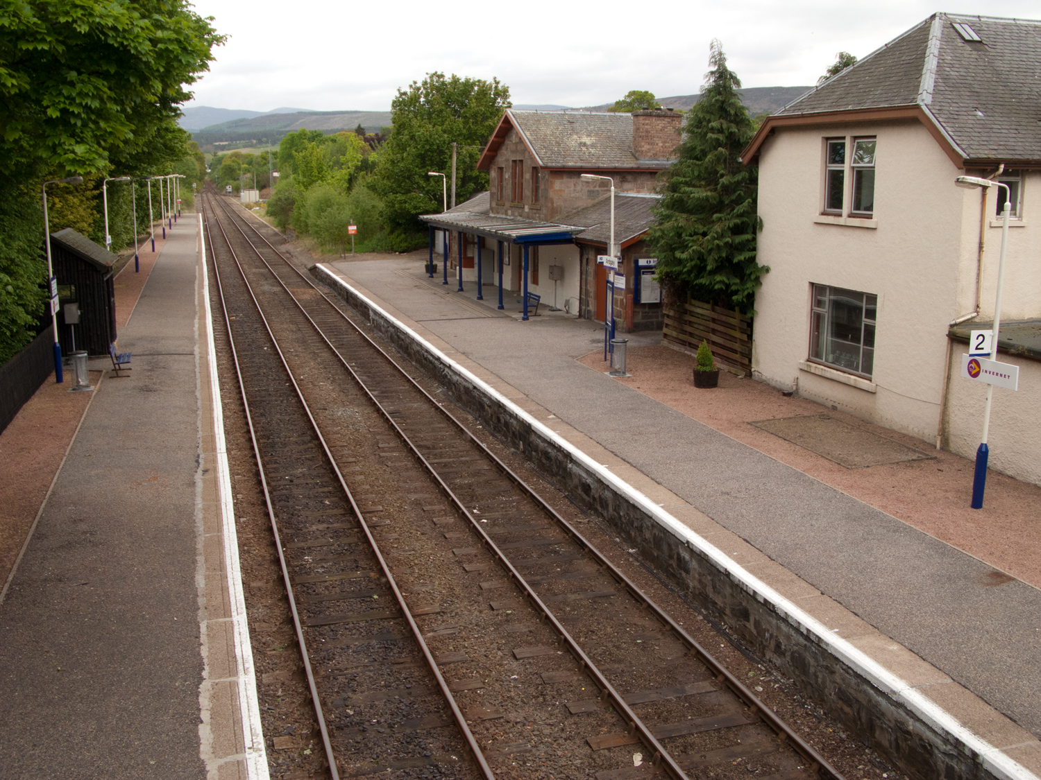
Despite its rural setting, Upper Ardchronie benefits from good transport links. The nearby towns provide access to amenities such as shops, schools, and healthcare facilities, ensuring that residents have easy access to essential services.
For those seeking a peaceful retreat amidst stunning natural landscapes, Upper Ardchronie offers a quintessential Scottish countryside experience. With its unspoiled beauty and friendly community spirit, it is a place that exudes tranquility and serves as a haven for nature lovers and those yearning for a slower pace of life.
If you have any feedback on the listing, please let us know in the comments section below.
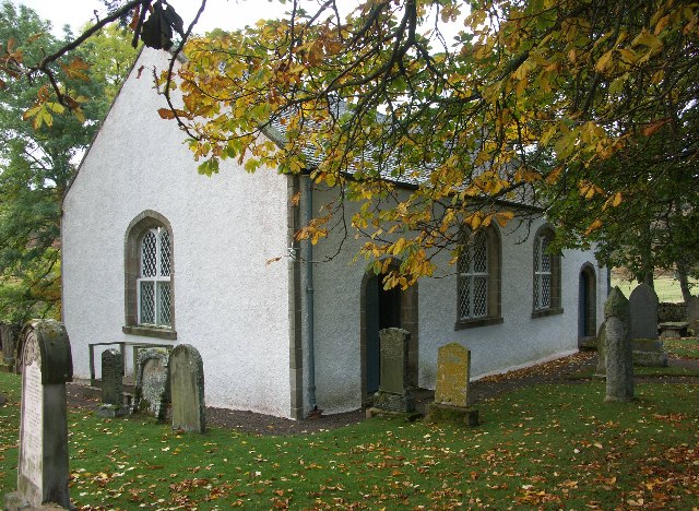
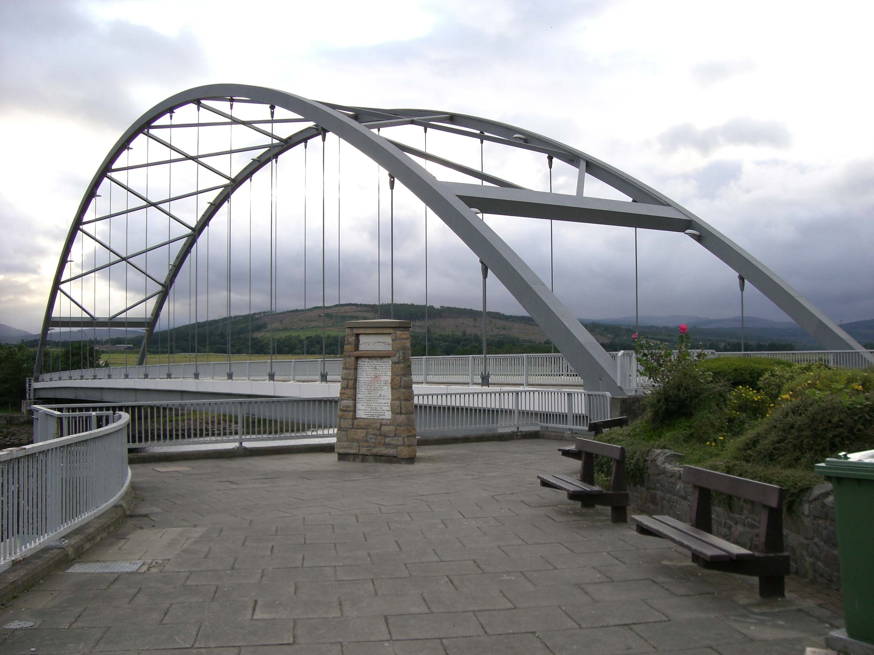
Upper Ardchronie Images
Images are sourced within 2km of 57.865018/-4.3484847 or Grid Reference NH6088. Thanks to Geograph Open Source API. All images are credited.


Upper Ardchronie is located at Grid Ref: NH6088 (Lat: 57.865018, Lng: -4.3484847)
Unitary Authority: Highland
Police Authority: Highlands and Islands
What 3 Words
///rounds.singers.amicably. Near Lairg, Highland
Nearby Locations
Related Wikis

Ardchronie
Ardchronie (Scottish Gaelic: Àird Chrònaidh) is a hamlet in the Highland Council area of Scotland. It lies on the south side of the Dornoch Firth, about...
Kincardine, Sutherland
Kincardine (Scottish Gaelic: Cinn Chàrdainn) is a small hamlet in Sutherland, situated on the west end of the south shore of the Dornoch Firth. The village...

Ardgay
Ardgay ard-GY (Scottish Gaelic: Àird Gaoith or Àird Ghaoithe) ["high wind" - see below Further reading: MacGregor] is a small Scottish village on the...
Ardgay railway station
Ardgay railway station is a railway station serving the village of Ardgay and its neighbour Bonar Bridge in the Highland council area of Scotland. The...
Migdale Hospital
The Migdale Hospital is a health facility in Bonar Bridge, Scotland. It is managed by NHS Highland. == History == The facility has its origins in the Sutherland...
Bonar Bridge
Bonar Bridge (Scottish Gaelic: Drochaid a' Bhanna, pronounced [ˈt̪ɾɔxɪtʲ ə ˈvan̪ˠə]) is a village on the north bank of the Kyle of Sutherland to the west...

River Carron, Sutherland
The River Carron (Scottish Gaelic: Carrann) is an east coast river in Sutherland, in the Highlands of Scotland. It begins as Abhainn a' Ghlinne Mhòir...
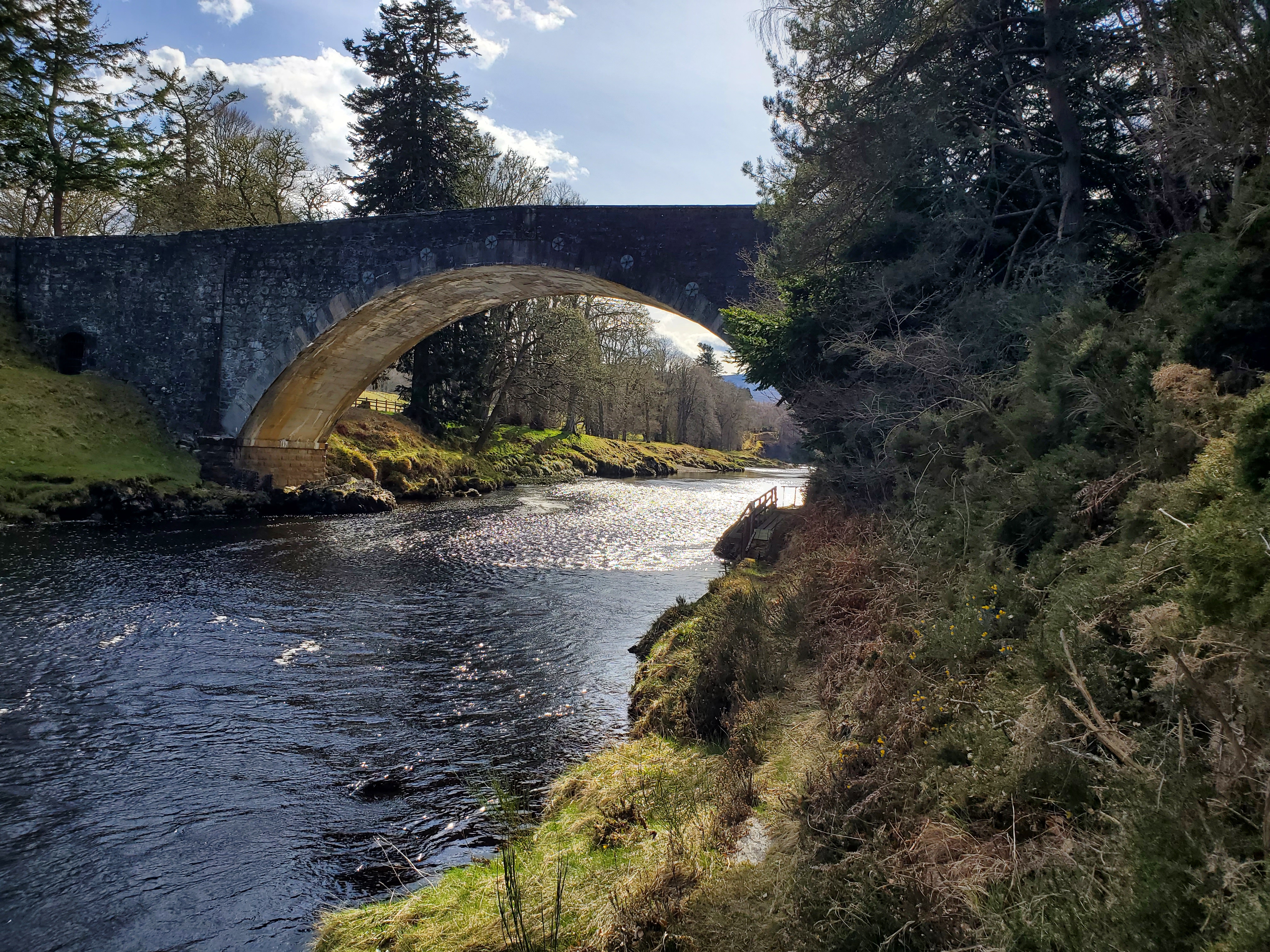
Carron Bridge (Sutherland, Scotland)
The Carron Bridge is a bridge over the River Carron near Ardgay in Sutherland, Scotland. == Description == The Carron Bridge is located near the town of...
Nearby Amenities
Located within 500m of 57.865018,-4.3484847Have you been to Upper Ardchronie?
Leave your review of Upper Ardchronie below (or comments, questions and feedback).