Ardchronie, Upper
Settlement in Ross-shire
Scotland
Ardchronie, Upper

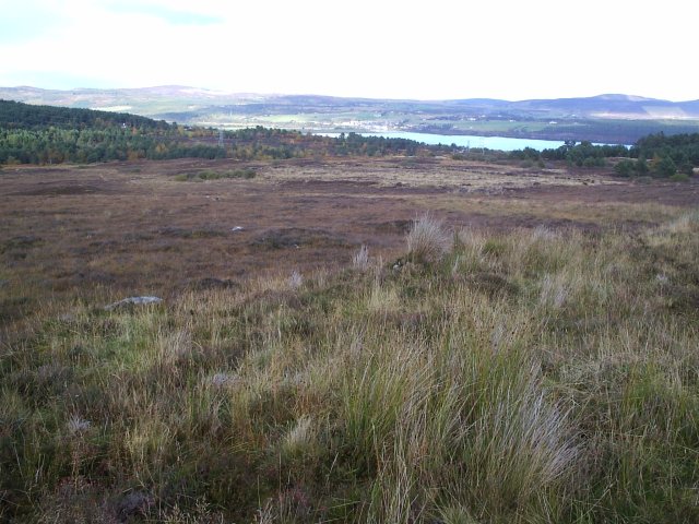
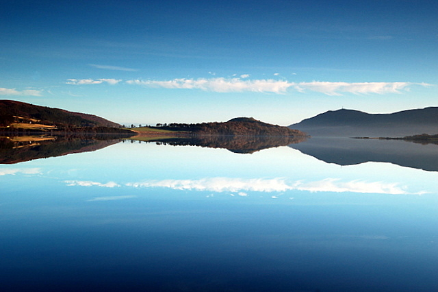
Ardchronie is a small village located in the Upper region of Ross-shire, Scotland. Situated in the picturesque Highlands, Ardchronie is surrounded by stunning natural landscapes, making it a popular destination for tourists seeking tranquility and outdoor activities.
The village itself is home to a tight-knit community of approximately 300 residents. The local economy relies mainly on agriculture, with farming playing a significant role in sustaining the village's livelihood. The fertile land surrounding Ardchronie allows for the cultivation of crops and the rearing of livestock, including sheep and cattle.
Ardchronie boasts a rich history, with evidence of human settlement dating back centuries. Ruins of ancient stone structures and burial sites can be found in the vicinity, attracting history enthusiasts and archaeologists. The village also has its fair share of folklore and legends, adding to its mystical charm.
Despite its small size, Ardchronie offers essential amenities to its residents, including a primary school, a village hall, and a local shop. For more extensive services, residents typically travel to nearby towns such as Dingwall or Inverness, which are easily accessible by road.
Nature lovers and outdoor enthusiasts will find plenty to explore in Ardchronie's surroundings. The village is close to several hiking trails and nature reserves, providing opportunities for walking, birdwatching, and wildlife spotting.
Overall, Ardchronie is a peaceful village nestled in the heart of the Scottish Highlands, offering a close-knit community, stunning landscapes, and a glimpse into Scotland's rich history.
If you have any feedback on the listing, please let us know in the comments section below.
Ardchronie, Upper Images
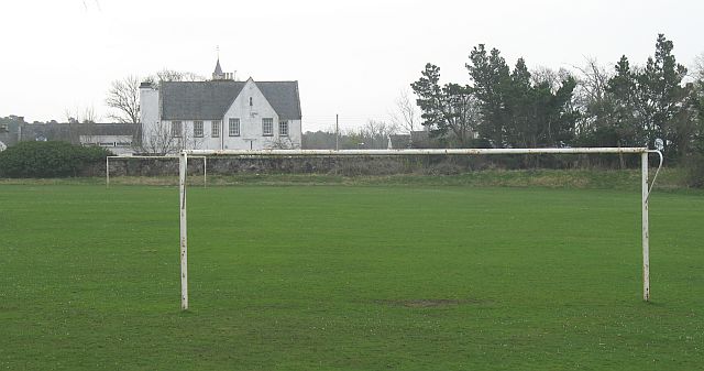
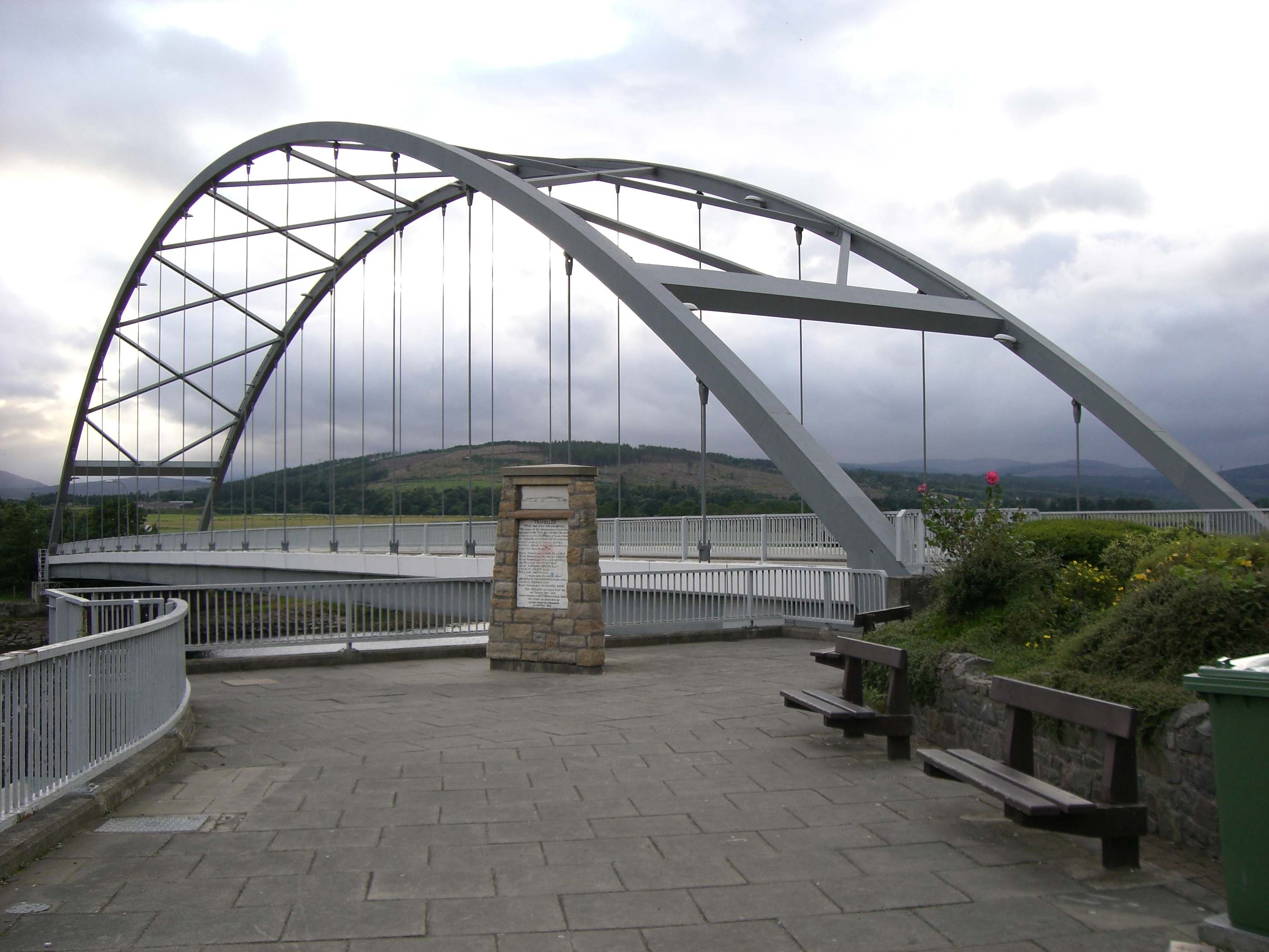
Images are sourced within 2km of 57.865018/-4.3484847 or Grid Reference NH6088. Thanks to Geograph Open Source API. All images are credited.


Ardchronie, Upper is located at Grid Ref: NH6088 (Lat: 57.865018, Lng: -4.3484847)
Unitary Authority: Highland
Police Authority: Highlands and Islands
What 3 Words
///rounds.singers.amicably. Near Lairg, Highland
Nearby Locations
Related Wikis
Ardchronie
Ardchronie (Scottish Gaelic: Àird Chrònaidh) is a hamlet in the Highland Council area of Scotland. It lies on the south side of the Dornoch Firth, about...
Kincardine, Sutherland
Kincardine (Scottish Gaelic: Cinn Chàrdainn) is a small hamlet in Sutherland, situated on the west end of the south shore of the Dornoch Firth. The village...

Ardgay
Ardgay ard-GY (Scottish Gaelic: Àird Gaoith or Àird Ghaoithe) ["high wind" - see below Further reading: MacGregor] is a small Scottish village on the...
Ardgay railway station
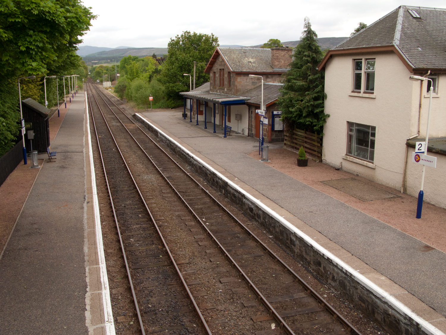
Ardgay railway station is a railway station serving the village of Ardgay and its neighbour Bonar Bridge in the Highland council area of Scotland. The...
Migdale Hospital
The Migdale Hospital is a health facility in Bonar Bridge, Scotland. It is managed by NHS Highland. == History == The facility has its origins in the Sutherland...
Bonar Bridge
Bonar Bridge (Scottish Gaelic: Drochaid a' Bhanna, pronounced [ˈt̪ɾɔxɪtʲ ə ˈvan̪ˠə]) is a village on the north bank of the Kyle of Sutherland to the west...

River Carron, Sutherland
The River Carron (Scottish Gaelic: Carrann) is an east coast river in Sutherland, in the Highlands of Scotland. It begins as Abhainn a' Ghlinne Mhòir...
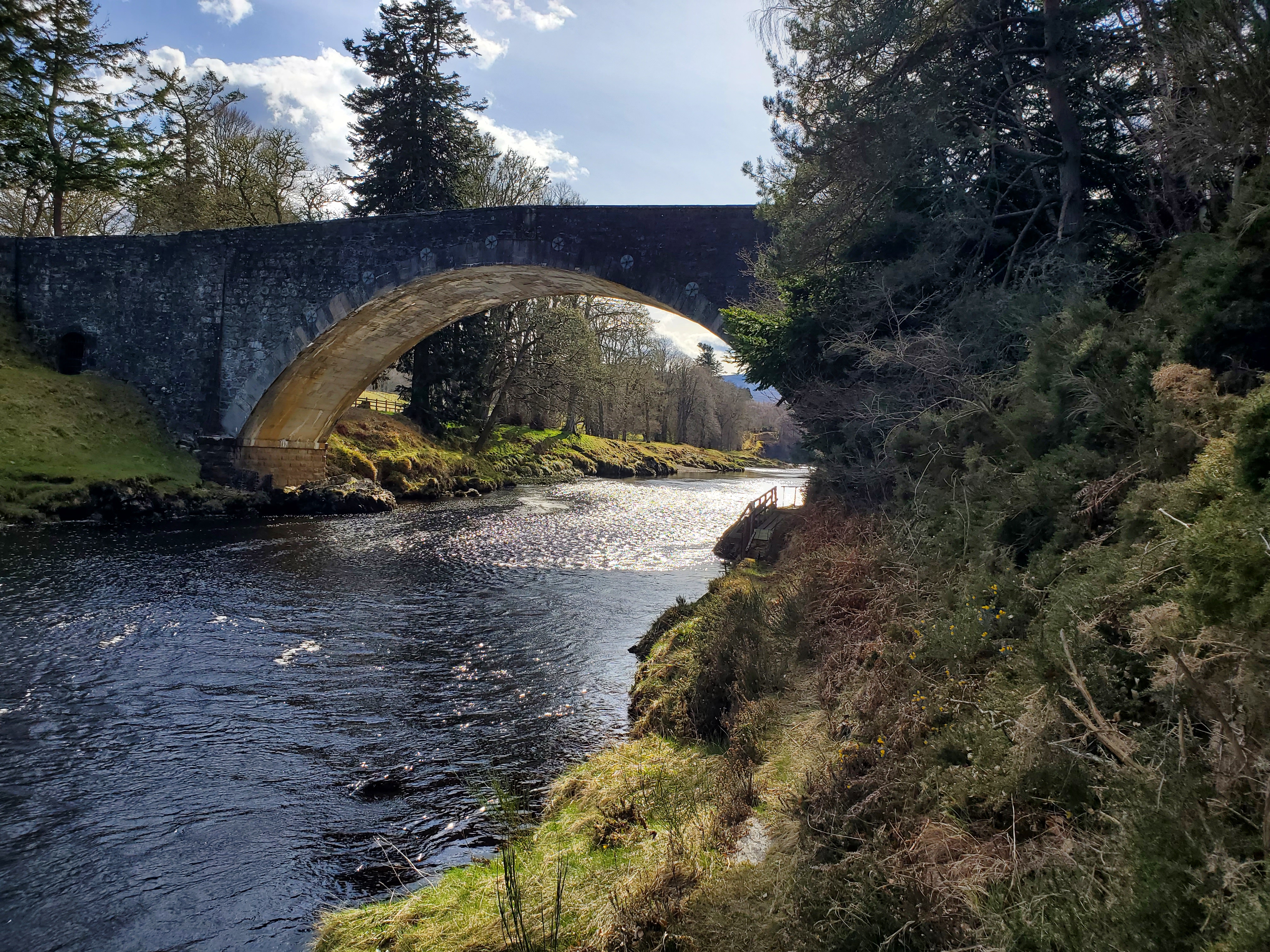
Carron Bridge (Sutherland, Scotland)
The Carron Bridge is a bridge over the River Carron near Ardgay in Sutherland, Scotland. == Description == The Carron Bridge is located near the town of...
Nearby Amenities
Located within 500m of 57.865018,-4.3484847Have you been to Ardchronie, Upper?
Leave your review of Ardchronie, Upper below (or comments, questions and feedback).