Warren Hill
Hill, Mountain in Nottinghamshire Newark and Sherwood
England
Warren Hill

Warren Hill is a small village located in the county of Nottinghamshire, England. Situated approximately 5 miles southeast of Nottingham City Centre, it is nestled within the borough of Rushcliffe. Despite its name, Warren Hill is not actually a hill or mountain but rather a flat area of land surrounded by picturesque countryside.
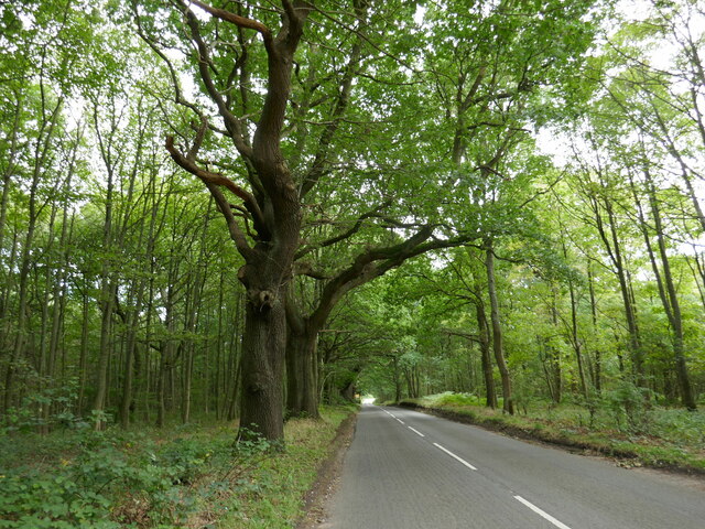
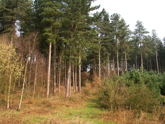
The village is known for its tranquil and rural setting, offering residents a peaceful and idyllic lifestyle. Surrounded by open fields and woodlands, it provides ample opportunities for outdoor activities such as walking, cycling, and horse riding. The nearby Holme Pierrepont Country Park and the River Trent provide additional recreational options for visitors and locals alike.
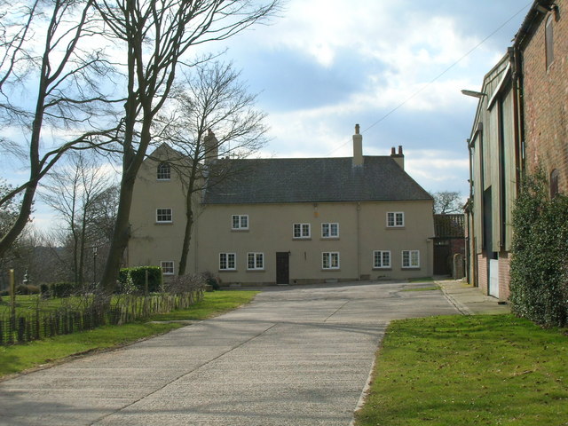
Warren Hill itself is a tight-knit community with a small population. The village is predominantly residential, characterized by traditional brick houses and cottages that exude a charming and quaint atmosphere. There are limited amenities within the village, with a small local shop and a pub serving as the main gathering spots for residents.
Despite its rural setting, Warren Hill benefits from excellent transport links. The A52 road passes nearby, offering easy access to Nottingham and the wider region. The village is also well-served by public transportation, with regular bus services connecting it to surrounding areas.
In summary, Warren Hill is a peaceful and scenic village in Nottinghamshire, offering a quiet and rural lifestyle within close proximity to the vibrant city of Nottingham. Its picturesque surroundings, friendly community, and convenient transport links make it an attractive place to live or visit for those seeking a tranquil retreat.
If you have any feedback on the listing, please let us know in the comments section below.
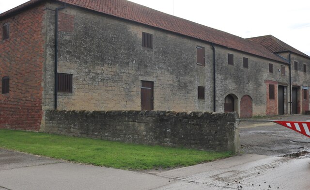
Warren Hill Images
Images are sourced within 2km of 53.096558/-1.081166 or Grid Reference SK6155. Thanks to Geograph Open Source API. All images are credited.


Warren Hill is located at Grid Ref: SK6155 (Lat: 53.096558, Lng: -1.081166)
Administrative County: Nottinghamshire
District: Newark and Sherwood
Police Authority: Nottinghamshire
What 3 Words
///rebounds.enveloped.started. Near Blidworth, Nottinghamshire
Nearby Locations
Related Wikis
Haywood Oaks
Haywood Oaks is a hamlet and former civil parish, 10 miles (16 km) from Nottingham, now in the parish of Blidworth, in the Newark and Sherwood district...

Wheelgate Park
Robin Hoods Wheelgate Park is a 30-acre family theme park and water park in Farnsfield, Nottinghamshire, England. The park includes two large indoor play...

Blidworth
Blidworth is a village and civil parish approximately five miles east of Mansfield, Nottinghamshire, England. The population of the civil parish at the...
Blidworth Welfare F.C.
Blidworth Welfare Football Club is a football club based in Blidworth, near Mansfield, Nottinghamshire, England. They are currently members of the Central...

Blidworth Bottoms
Blidworth Bottoms is a hamlet in Nottinghamshire, England. It is located between Blidworth and Ravenshead. Population details are included in the civil...
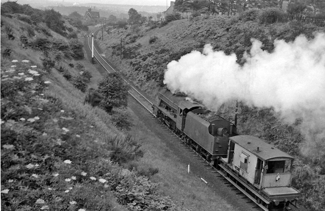
Blidworth and Rainworth railway station
Blidworth and Rainworth railway station was a railway station which served the villages of Blidworth and Rainworth, Nottinghamshire, England. == History... ==
Farnsfield railway station
Farnsfield railway station was a railway station serving the village of Farnsfield, Nottinghamshire, England. == History == The station opened in 1871...

Church of St Mary of the Purification, Blidworth
The Church of St Mary of the Purification is a parish church in the Church of England in Blidworth, Nottinghamshire, dating from the 15th century. It is...
Nearby Amenities
Located within 500m of 53.096558,-1.081166Have you been to Warren Hill?
Leave your review of Warren Hill below (or comments, questions and feedback).