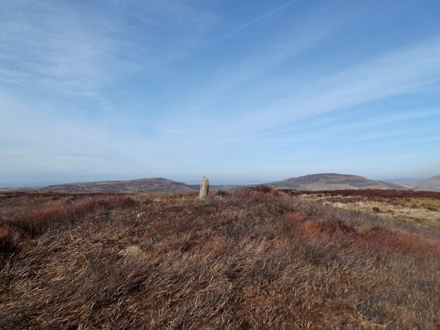
Wether Hill
Hill, Mountain in Yorkshire Ryedale
England
Wether Hill
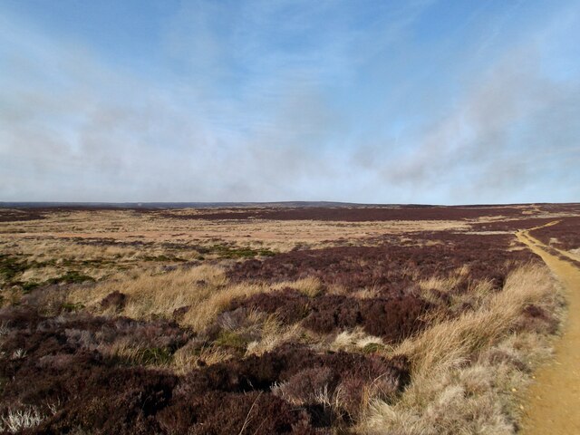
Wether Hill is a prominent hill located in the county of Yorkshire, England. Situated in the Yorkshire Dales National Park, it forms part of the Pennine Range and stands at an impressive elevation of 614 meters (2,014 feet) above sea level. The hill is surrounded by picturesque landscapes and offers stunning panoramic views of the surrounding countryside.
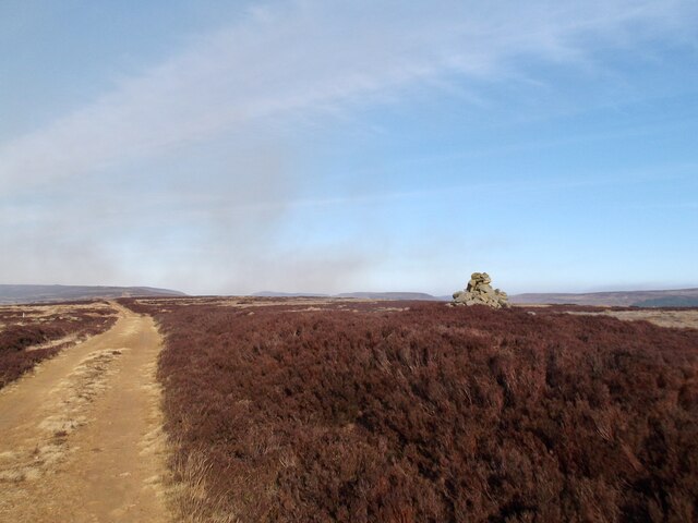
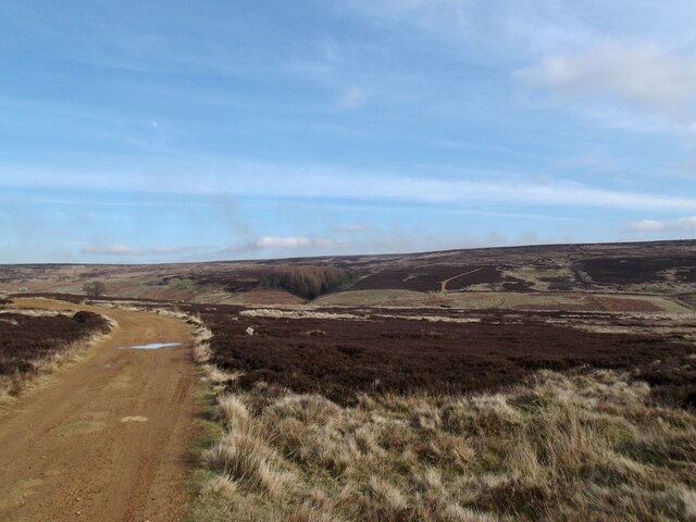
Access to Wether Hill is possible via various routes, including footpaths and bridleways, making it a popular destination for outdoor enthusiasts and nature lovers. The hill's location within the national park means it benefits from well-maintained trails and signage, making it relatively easy to navigate.
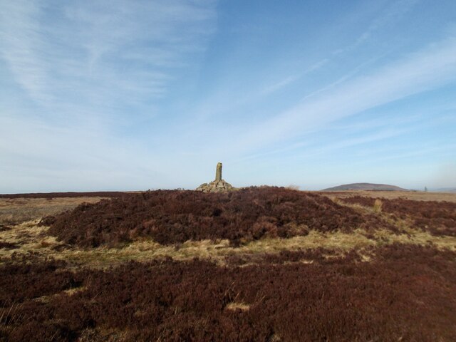
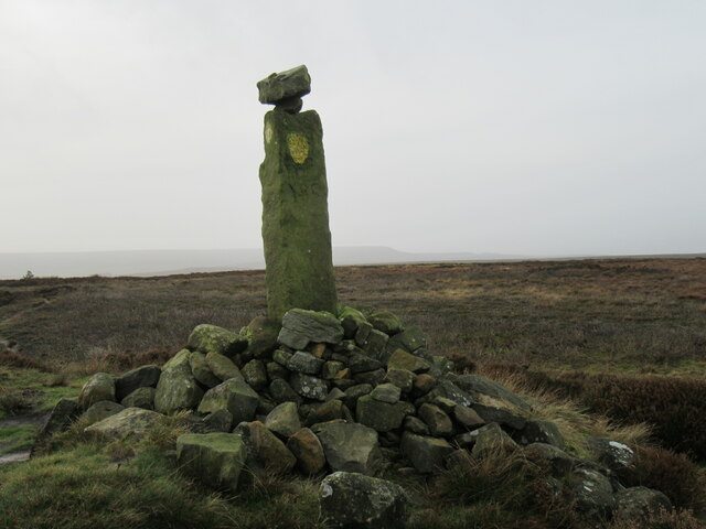
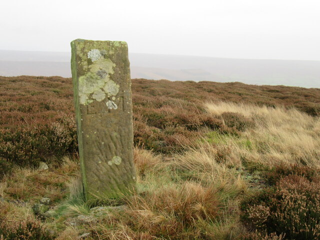
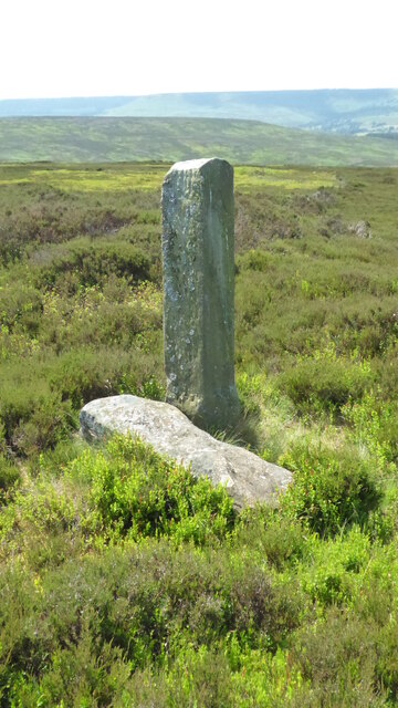
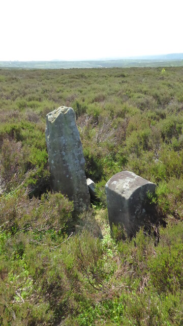
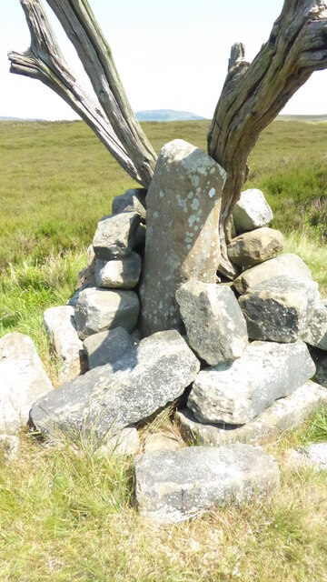
Wether Hill is known for its rugged and rocky terrain, with steep slopes that offer a challenge to hikers and climbers. The hill's summit is marked by a trig point, providing a sense of achievement for those who make it to the top. On clear days, the views from the summit extend for miles, allowing visitors to appreciate the beauty of the Yorkshire Dales and beyond.
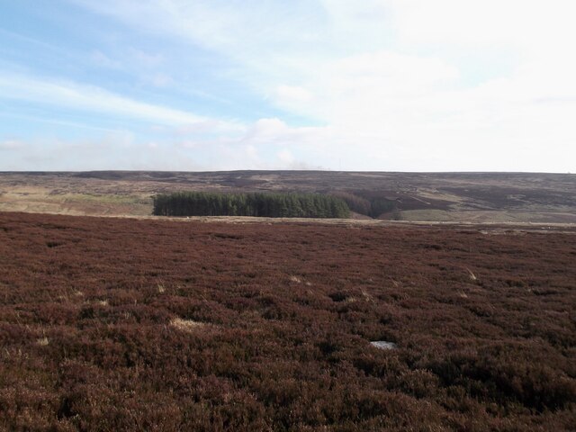
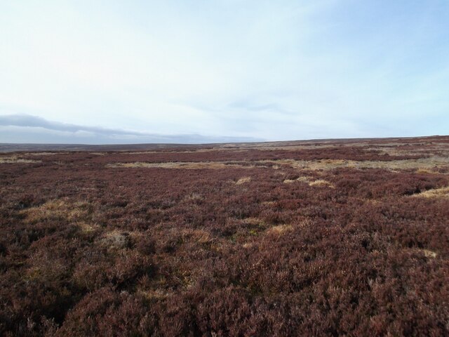
The area surrounding Wether Hill is rich in flora and fauna, with a diverse range of plant species and wildlife. It is not uncommon to spot various birds of prey soaring above, such as kestrels and buzzards. Additionally, the hill is home to a variety of smaller mammals, including rabbits and hares.
Overall, Wether Hill offers visitors a chance to immerse themselves in the natural beauty of Yorkshire, providing a rewarding and memorable outdoor experience.
If you have any feedback on the listing, please let us know in the comments section below.
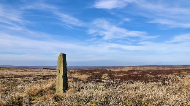
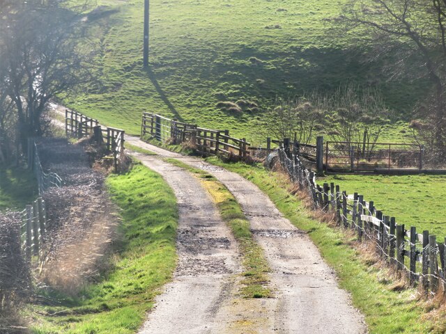
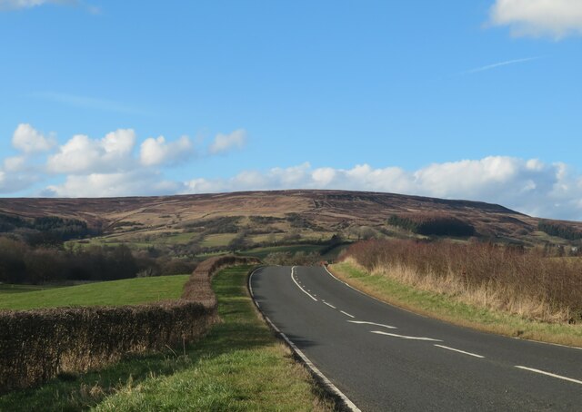
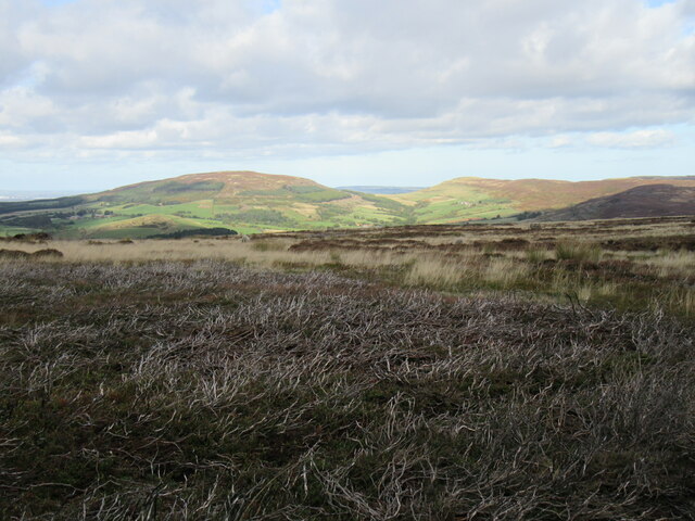
Wether Hill Images
Images are sourced within 2km of 54.374538/-1.1642484 or Grid Reference SE5497. Thanks to Geograph Open Source API. All images are credited.
Wether Hill is located at Grid Ref: SE5497 (Lat: 54.374538, Lng: -1.1642484)
Division: North Riding
Administrative County: North Yorkshire
District: Ryedale
Police Authority: North Yorkshire
What 3 Words
///gent.pacemaker.divides. Near Bilsdale, North Yorkshire
Nearby Locations
Related Wikis
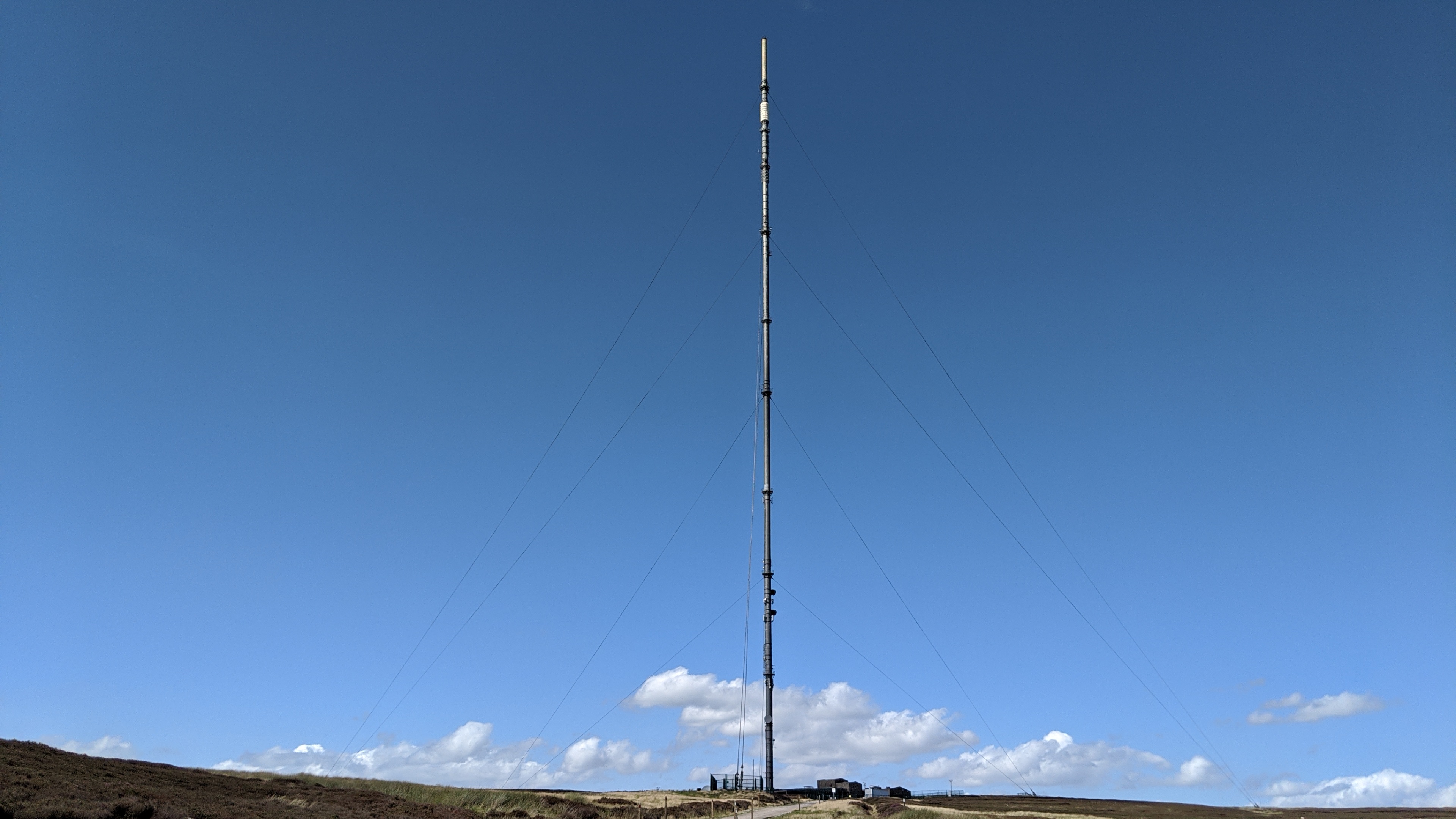
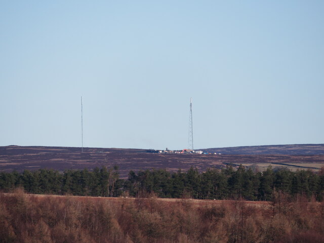
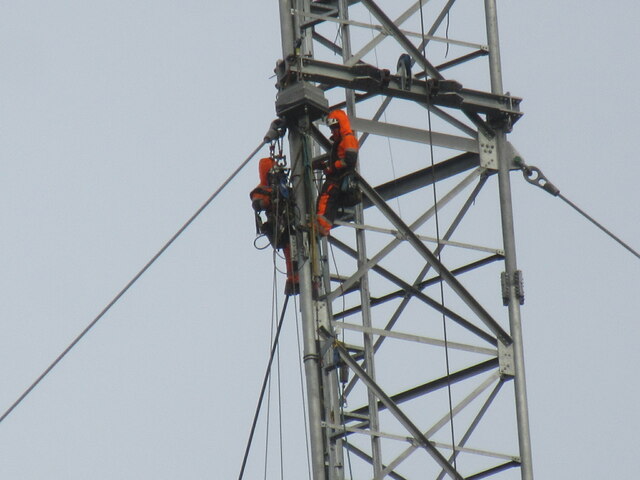
Bilsdale transmitting station
The Bilsdale transmitting station is a broadcasting and telecommunications facility, located at Bilsdale West Moor above Bilsdale, close to Helmsley, North...

Chop Gate
Chop Gate ( CHOP YAT) is a small village in the North York Moors national park, North Yorkshire, England. Historically part of the North Riding of Yorkshire...

Stingamires
Stingamires is a historic house in Bilsdale, a valley in North Yorkshire, in England. The building was constructed in the 17th century as a farmhouse,...

Bilsdale Midcable
Bilsdale Midcable is a civil parish in North Yorkshire, England, which occupies the northern part of Bilsdale in the North York Moors National Park. According...
Nearby Amenities
Located within 500m of 54.374538,-1.1642484Have you been to Wether Hill?
Leave your review of Wether Hill below (or comments, questions and feedback).