Lunn Hill
Hill, Mountain in Yorkshire Selby
England
Lunn Hill

Lunn Hill is a prominent hill located in the county of Yorkshire in northern England. Situated in the Yorkshire Dales National Park, this natural formation is known for its picturesque landscapes and breathtaking views. Rising to an elevation of approximately 400 meters (1,300 feet), Lunn Hill is classified as a hill rather than a mountain due to its moderate height.
The hill is characterized by its rolling green slopes, covered in lush grass and scattered with patches of heather and wildflowers. It is a popular destination for hikers, nature enthusiasts, and photographers who are drawn to its unspoiled beauty. The summit of Lunn Hill offers panoramic views of the surrounding countryside, with the Yorkshire Dales stretching out as far as the eye can see.
The hill is also home to a variety of wildlife, including birds of prey, such as kestrels and buzzards, which can often be seen soaring above its slopes. Visitors may also encounter smaller mammals, such as rabbits and hares, as well as numerous species of butterflies and other insects.
Lunn Hill is easily accessible, with several footpaths and trails leading to its summit. It is a relatively moderate hike, suitable for all ages and fitness levels. The hill provides a tranquil escape from the hustle and bustle of everyday life, offering a peaceful retreat for those seeking solace in nature.
Overall, Lunn Hill is a natural gem in Yorkshire's landscape, offering visitors a chance to immerse themselves in the beauty of the Yorkshire Dales and enjoy breathtaking views from its summit.
If you have any feedback on the listing, please let us know in the comments section below.
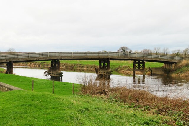
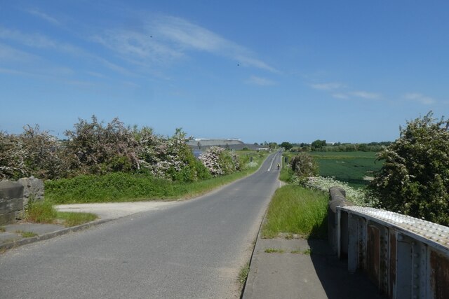
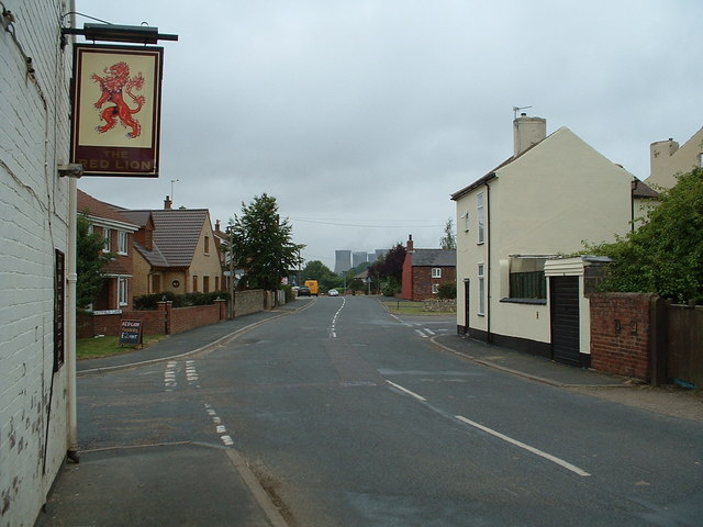
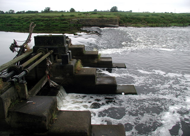
Lunn Hill Images
Images are sourced within 2km of 53.711014/-1.1768303 or Grid Reference SE5424. Thanks to Geograph Open Source API. All images are credited.


Lunn Hill is located at Grid Ref: SE5424 (Lat: 53.711014, Lng: -1.1768303)
Division: West Riding
Administrative County: North Yorkshire
District: Selby
Police Authority: North Yorkshire
What 3 Words
///working.slacker.alleyway. Near Knottingley, West Yorkshire
Nearby Locations
Related Wikis
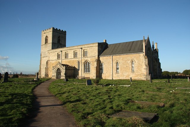
Church of St Edmund King and Martyr, Kellington
The Church of St Edmund King and Martyr, Kellington, is a grade I listed 12th century church in the village of Kellington, North Yorkshire, England. Excavations...
Kellington
Kellington is a small village and civil parish in the Selby District of North Yorkshire, England, on the banks of the River Aire. Situated almost equidistant...
Beal, North Yorkshire
Beal is a village and civil parish in North Yorkshire, England. It is situated on the River Aire, 3.5 miles (6 km) north-east of Knottingley, 8 miles...

Whitley Bridge railway station
Whitley Bridge railway station serves the villages of Eggborough and Whitley in North Yorkshire, England. It is located on the Pontefract Line and is 20...
Related Videos


KELLINGTON: Selby Parish #12 of 74
We might be making fairly slow progress through the district of Selby but there's a reason for that. You see, the South of the district ...

BEAL: Selby Parish #7 of 74
The 74 parishes of Selby are coming thick and fast now. The great thing about this district is the fact that most of them are so small ...

GEPRC MARK 5 03 - BOOMSHAKKALAKKA
Mid way through today's survey and decided I needed 5 mins to myself to savour the sunrise....@geprc This is better than I ...
Nearby Amenities
Located within 500m of 53.711014,-1.1768303Have you been to Lunn Hill?
Leave your review of Lunn Hill below (or comments, questions and feedback).