Cleves Hill

Hill, Mountain in Northamptonshire

England

Cleves Hill

Road to Braunston
Road to Braunston Credit: Dave Thompson

Cleves Hill is a prominent hill located in the county of Northamptonshire, England. Rising to an elevation of approximately 204 meters (669 feet), it offers picturesque views of the surrounding countryside. Situated near the village of Clipston, Cleves Hill is a popular destination for hikers, nature enthusiasts, and photographers.

The hill is predominantly covered in lush green grass and scattered with a variety of trees, including oak and beech. Its slopes are gentle, making it accessible to visitors of all ages and fitness levels. At the summit, a stone monument stands, commemorating the historic significance of Cleves Hill and its role in the local community.

The hill's location provides breathtaking views of the rolling Northamptonshire landscape, with sprawling farmlands, charming villages, and distant hills visible in the distance. On clear days, visitors can even catch a glimpse of some of the county's notable landmarks, such as the spires of nearby churches or the majestic Rockingham Castle.

Cleves Hill is also home to a diverse range of wildlife, including various species of birds, butterflies, and small mammals. As a result, it has become a popular spot for birdwatching and wildlife photography. The tranquil atmosphere and natural beauty of Cleves Hill make it an ideal place for relaxation and rejuvenation.

Access to Cleves Hill is fairly easy, with several footpaths and trails leading to the summit. Visitors can choose to hike or drive to the hill, with ample parking available nearby. Whether one is seeking a recreational hike, a peaceful picnic spot, or simply a place to enjoy the beauty of Northamptonshire, Cleves Hill is a destination worth exploring.

If you have any feedback on the listing, please let us know in the comments section below.
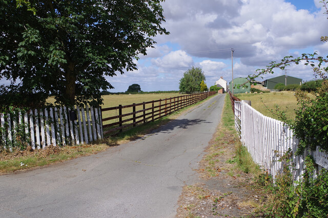
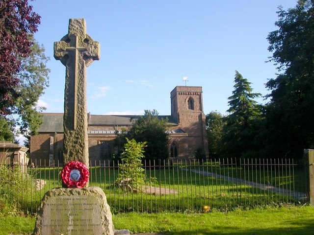
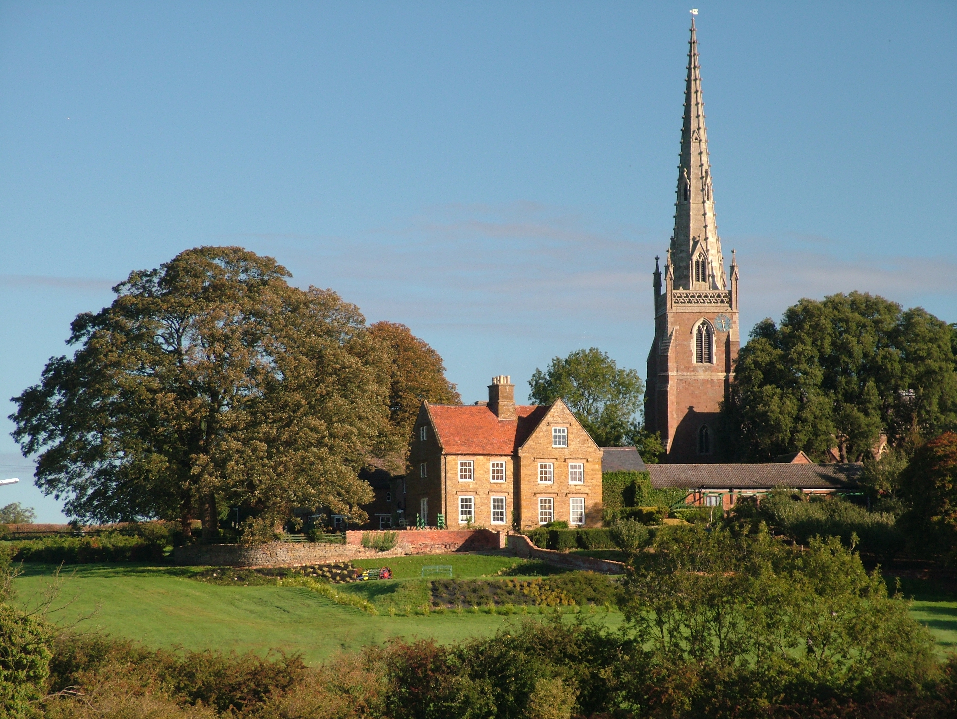
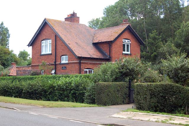
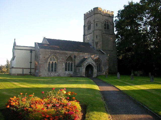
Cleves Hill Images

Images are sourced within 2km of 52.312644/-1.2036398 or Grid Reference SP5468. Thanks to Geograph Open Source API. All images are credited.

Road to Braunston
Road to Braunston
On Longdown Lane
On Longdown Lane
Willoughby Lodge Farm A driveway leads off Longdown Lane to the farm buildings.
Willoughby Lodge Farm
A driveway leads off Longdown Lane to the farm buildings.
Farmland north of Braunston Seen from Longdown Lane, looking across the rolling countryside on the Warwickshire/Northamptonshire border.
Farmland north of Braunston
Seen from Longdown Lane, looking across the rolling countryside on the Warwickshire/Northamptonshire border.
Longdown Lane Longdown Lane connects Barby in Northamptonshire with Willoughby in Warwickshire crossing the county boundary in this view.
Longdown Lane
Longdown Lane connects Barby in Northamptonshire with Willoughby in Warwickshire crossing the county boundary in this view.
Bridge 88, Oxford Canal Bridge 88 is a farm accommodation bridge to the north-west of Braunston. The canal is iced-over in this view on a bitterly cold day.
Bridge 88, Oxford Canal
Bridge 88 is a farm accommodation bridge to the north-west of Braunston. The canal is iced-over in this view on a bitterly cold day.
Oxford Canal, near Braunston The canal is iced-over during a mid-December cold snap that was to last over a week. This view is looking towards Rugby from just north of bridge 88.
Oxford Canal, near Braunston
The canal is iced-over during a mid-December cold snap that was to last over a week. This view is looking towards Rugby from just north of bridge 88.
Oxford Canal, north of Braunston This view shows the canal north of bridge 88 looking towards Rugby. It is completely iced-over on a sunny but bitterly cold day.
Oxford Canal, north of Braunston
This view shows the canal north of bridge 88 looking towards Rugby. It is completely iced-over on a sunny but bitterly cold day.
Narrowboat in the ice near Braunston The Oxford Canal is iced-over during a cold snap that would last over a week. The moored boat will be going nowhere for the time being.
Narrowboat in the ice near Braunston
The Oxford Canal is iced-over during a cold snap that would last over a week. The moored boat will be going nowhere for the time being.
Approaching Braunston On the Oxford Canal.
Approaching Braunston
On the Oxford Canal.
Approaching bridge 87 on the Oxford Canal Near Willougby.
Approaching bridge 87 on the Oxford Canal
Near Willougby.
Medieval ridge and furrow field patterns near Willoughby Viewed here from the Oxford Canal, these patterns are a result of ploughing with non-reversible ploughs on the same strip of land each year. The patterns were created in the Middle Ages on land which has not been ploughed since.
Medieval ridge and furrow field patterns near Willoughby
Viewed here from the Oxford Canal, these patterns are a result of ploughing with non-reversible ploughs on the same strip of land each year. The patterns were created in the Middle Ages on land which has not been ploughed since.
Bridge 88, Oxford Canal Even though this bridge has no number on it, the Nicholson Waterways Guide #1 indicates this as Bridge 88.
Bridge 88, Oxford Canal
Even though this bridge has no number on it, the Nicholson Waterways Guide #1 indicates this as Bridge 88.
Bridge 88, Oxford Canal Even though this bridge has no number on it, the Nicholson Waterways Guide #1 indicates this as Bridge 88.
Bridge 88, Oxford Canal
Even though this bridge has no number on it, the Nicholson Waterways Guide #1 indicates this as Bridge 88.
Oxford Canal: Bridge Number 87 This is a farmers' bridge in the Civil Parish of Willoughby. At some stage the original brickwork has been covered in an unattractive cement render.
Oxford Canal: Bridge Number 87
This is a farmers' bridge in the Civil Parish of Willoughby. At some stage the original brickwork has been covered in an unattractive cement render.
Willoughby: Medieval ridge and furrow field patterns Viewed from the Oxford Canal, this is just one of several fields along the west side of Barby Hill that exhibit medieval ridge and furrow field patterns.
Willoughby: Medieval ridge and furrow field patterns
Viewed from the Oxford Canal, this is just one of several fields along the west side of Barby Hill that exhibit medieval ridge and furrow field patterns.
Oxford Canal: Reach north of Braunston This is just on the Northamptonshire side of the border with Warwickshire. Although the canal is broad here, the deeper water is on the outside of the curve, and the closer to the inside of the curve one gets the shallower it gets...
Oxford Canal: Reach north of Braunston
This is just on the Northamptonshire side of the border with Warwickshire. Although the canal is broad here, the deeper water is on the outside of the curve, and the closer to the inside of the curve one gets the shallower it gets...
Barby-Longdown Lane Farm Road leading down to the Oxford Canal.
Barby-Longdown Lane
Farm Road leading down to the Oxford Canal.
Show me another place!

Cleves Hill is located at Grid Ref: SP5468 (Lat: 52.312644, Lng: -1.2036398)

Unitary Authority: West Northamptonshire

Police Authority: Northamptonshire

What 3 Words

///hound.nuance.forms. Near Braunston, Northamptonshire

Related Wikis

Braunston Cleves or Fawcliff

The village of Braunston Cleves or Fawcliff formerly stood north of the village of Braunston in the English county of Northamptonshire at its border with...

Barby Storage Reservoir

Barby Storage Reservoir is a reservoir near Barby in Northamptonshire, England, owned and operated by Severn Trent Water. It supplies drinking water to...

Barby, Northamptonshire

Barby is a village and civil parish about 5 miles (8 km) north of Daventry in Northamptonshire, England. The 2011 Census recorded the parish population...

Braunston

Braunston is a village and civil parish in the West Northamptonshire unitary authority area of Northamptonshire, England, next to the border with Warwickshire...

Braunston and Willoughby railway station

Braunston and Willoughby railway station was a station on the former Great Central Main Line. It served the small village of Willoughby which it was located...

Braunston London Road railway station

Braunston London Road was one of two railway stations that served the village of Braunston in Northamptonshire, England. The station was built on the Weedon...

Willoughby, Warwickshire

Willoughby is a village and civil parish about 5 miles (8 km) south of Rugby, Warwickshire, England. The village is about 4.5 miles (7 km) northwest of...
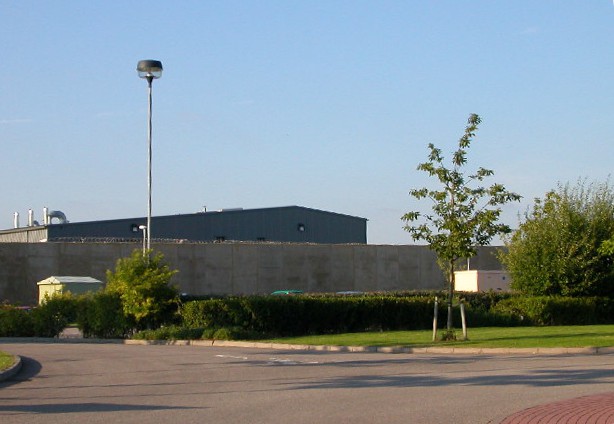
HM Prison Rye Hill

HM Prison Rye Hill is a Category B men's private prison, operated by G4S. Rye Hill has exclusively housed sex offenders since 2014. The prison is next...

Nearby Amenities

Located within 500m of 52.312644,-1.2036398
The data included in this document is from www.openstreetmap.org. The data is made available under ODbL.

Have you been to Cleves Hill?

Leave your review of Cleves Hill below (or comments, questions and feedback).