Tiltup's Wood

Wood, Forest in Northamptonshire

England

Tiltup's Wood

Road to Braunston
Road to Braunston Credit: Dave Thompson

Tiltup's Wood is a picturesque forest located in Northamptonshire, England. Covering an area of approximately 100 acres, this woodland is a popular destination for nature enthusiasts and outdoor lovers. The wood is situated near the village of Tiltup, lending its name to the serene and tranquil environment that it offers.

The forest is characterized by its dense and diverse collection of trees, including oak, beech, and ash. These majestic trees provide a lush canopy, creating a shaded and cool atmosphere during the summer months. The forest floor is covered with a carpet of wildflowers, adding vibrant colors to the landscape.

Tiltup's Wood is home to a wide array of wildlife, making it a haven for nature lovers. Visitors may catch a glimpse of deer, foxes, badgers, and a variety of bird species. The forest's secluded location away from major roads and urban areas ensures a peaceful and uninterrupted experience for those seeking solace in nature.

The wood offers numerous walking trails and paths, inviting visitors to explore its natural beauty. There are also designated picnic areas, allowing families and friends to enjoy a meal surrounded by the tranquil ambiance of the forest. Tiltup's Wood is a popular spot for birdwatching, photography, and simply immersing oneself in the sounds and scents of the natural world.

Overall, Tiltup's Wood is a captivating destination for anyone seeking to escape the hustle and bustle of everyday life and reconnect with nature. Its enchanting beauty and diverse wildlife make it a cherished natural gem in Northamptonshire.

If you have any feedback on the listing, please let us know in the comments section below.

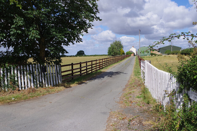
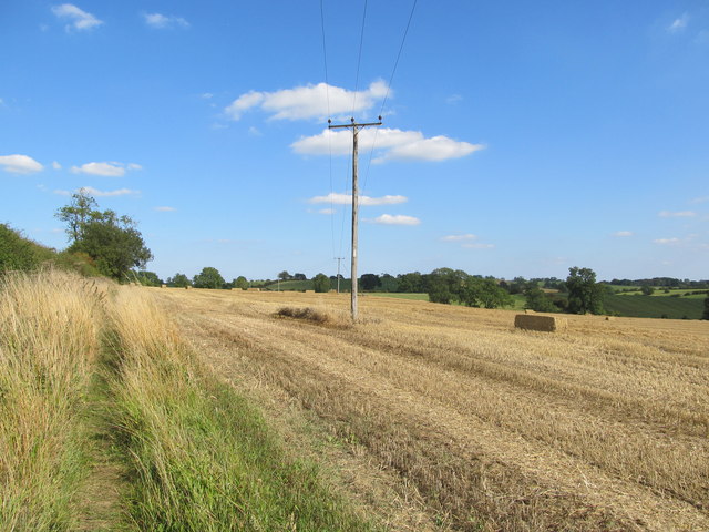
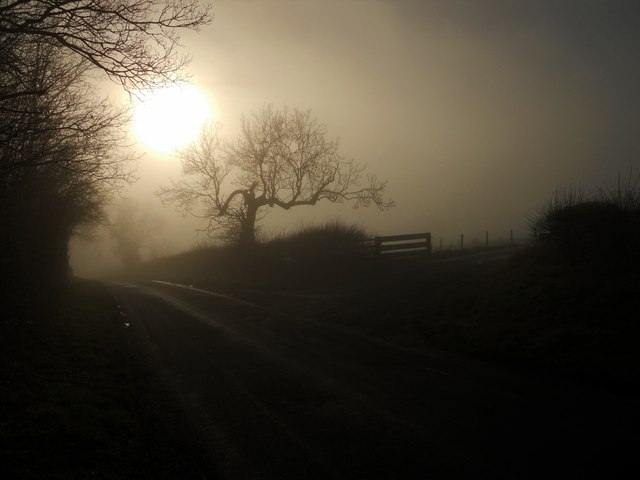
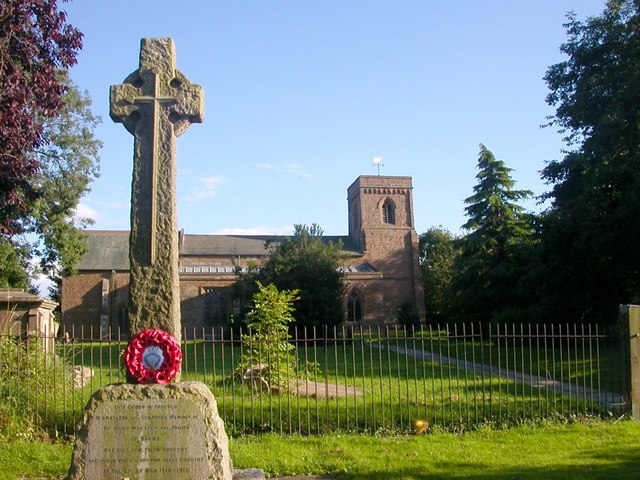
Tiltup's Wood Images

Images are sourced within 2km of 52.314937/-1.2062539 or Grid Reference SP5468. Thanks to Geograph Open Source API. All images are credited.

Road to Braunston
Road to Braunston
On Longdown Lane
On Longdown Lane
Willoughby Lodge Farm A driveway leads off Longdown Lane to the farm buildings.
Willoughby Lodge Farm
A driveway leads off Longdown Lane to the farm buildings.
Farmland north of Braunston Seen from Longdown Lane, looking across the rolling countryside on the Warwickshire/Northamptonshire border.
Farmland north of Braunston
Seen from Longdown Lane, looking across the rolling countryside on the Warwickshire/Northamptonshire border.
Longdown Lane Longdown Lane connects Barby in Northamptonshire with Willoughby in Warwickshire crossing the county boundary in this view.
Longdown Lane
Longdown Lane connects Barby in Northamptonshire with Willoughby in Warwickshire crossing the county boundary in this view.
Oxford Canal, north of Braunston This view shows the canal north of bridge 88 looking towards Rugby. It is completely iced-over on a sunny but bitterly cold day.
Oxford Canal, north of Braunston
This view shows the canal north of bridge 88 looking towards Rugby. It is completely iced-over on a sunny but bitterly cold day.
Approaching bridge 87 on the Oxford Canal Near Willougby.
Approaching bridge 87 on the Oxford Canal
Near Willougby.
The Oxford Canal near Willoughby Approaching bridge 84 travelling south, this is a section of the canal that was straightened in the modernisation of the 1820s. The abandoned curve is still visible to the west of the canal.
The Oxford Canal near Willoughby
Approaching bridge 84 travelling south, this is a section of the canal that was straightened in the modernisation of the 1820s. The abandoned curve is still visible to the west of the canal.
The Oxford Canal near Willoughby
Medieval ridge and furrow field patterns near Willoughby Viewed here from the Oxford Canal, these patterns are a result of ploughing with non-reversible ploughs on the same strip of land each year. The patterns were created in the Middle Ages on land which has not been ploughed since.
Medieval ridge and furrow field patterns near Willoughby
Viewed here from the Oxford Canal, these patterns are a result of ploughing with non-reversible ploughs on the same strip of land each year. The patterns were created in the Middle Ages on land which has not been ploughed since.
Barby Hill Footpath through the arable land.
Barby Hill
Footpath through the arable land.
Oxford Canal: Bridge Number 84 This bridge appears to have been whitewashed at some stage in the past. All the bridges have number plaques. Most are centred over the arch and easy to see. This one is rusty and difficult to spot. In fact it is above the arch, about a quarter of the way across the opening from left to right, and just above halfway between the arch and the top of the parapet.

The straight line of the canal cut through here is again a result of the 1820s elimination of the original 1770s curvy route. On this case a loop to the west has been isolated but is still well marked on the ground and in satellite imagery.
Oxford Canal: Bridge Number 84
This bridge appears to have been whitewashed at some stage in the past. All the bridges have number plaques. Most are centred over the arch and easy to see. This one is rusty and difficult to spot. In fact it is above the arch, about a quarter of the way across the opening from left to right, and just above halfway between the arch and the top of the parapet. The straight line of the canal cut through here is again a result of the 1820s elimination of the original 1770s curvy route. On this case a loop to the west has been isolated but is still well marked on the ground and in satellite imagery.
Oxford Canal: Bridge Number 87 This is a farmers' bridge in the Civil Parish of Willoughby. At some stage the original brickwork has been covered in an unattractive cement render.
Oxford Canal: Bridge Number 87
This is a farmers' bridge in the Civil Parish of Willoughby. At some stage the original brickwork has been covered in an unattractive cement render.
Willoughby: Medieval ridge and furrow field patterns Viewed from the Oxford Canal, this is just one of several fields along the west side of Barby Hill that exhibit medieval ridge and furrow field patterns.
Willoughby: Medieval ridge and furrow field patterns
Viewed from the Oxford Canal, this is just one of several fields along the west side of Barby Hill that exhibit medieval ridge and furrow field patterns.
Oxford Canal: Reach north of Braunston This is just on the Northamptonshire side of the border with Warwickshire. Although the canal is broad here, the deeper water is on the outside of the curve, and the closer to the inside of the curve one gets the shallower it gets...
Oxford Canal: Reach north of Braunston
This is just on the Northamptonshire side of the border with Warwickshire. Although the canal is broad here, the deeper water is on the outside of the curve, and the closer to the inside of the curve one gets the shallower it gets...
Barby-Longdown Lane Farm Road leading down to the Oxford Canal.
Barby-Longdown Lane
Farm Road leading down to the Oxford Canal.
Braunston Farmland Ancient Ridge and Furrow north of the village near Fir Tree Farm.
Braunston Farmland
Ancient Ridge and Furrow north of the village near Fir Tree Farm.
Braunston-Cleves Hill A mixture of dense fog and bright sunshine near Tiltup's Holt Farm
Braunston-Cleves Hill
A mixture of dense fog and bright sunshine near Tiltup's Holt Farm
Show me another place!

Tiltup's Wood is located at Grid Ref: SP5468 (Lat: 52.314937, Lng: -1.2062539)

Unitary Authority: West Northamptonshire

Police Authority: Northamptonshire

What 3 Words

///should.onion.doctor. Near Braunston, Northamptonshire

Related Wikis

Braunston Cleves or Fawcliff

The village of Braunston Cleves or Fawcliff formerly stood north of the village of Braunston in the English county of Northamptonshire at its border with...

Barby, Northamptonshire

Barby is a village and civil parish about 5 miles (8 km) north of Daventry in Northamptonshire, England. The 2011 Census recorded the parish population...

Barby Storage Reservoir

Barby Storage Reservoir is a reservoir near Barby in Northamptonshire, England, owned and operated by Severn Trent Water. It supplies drinking water to...

Braunston and Willoughby railway station

Braunston and Willoughby railway station was a station on the former Great Central Main Line. It served the small village of Willoughby which it was located...
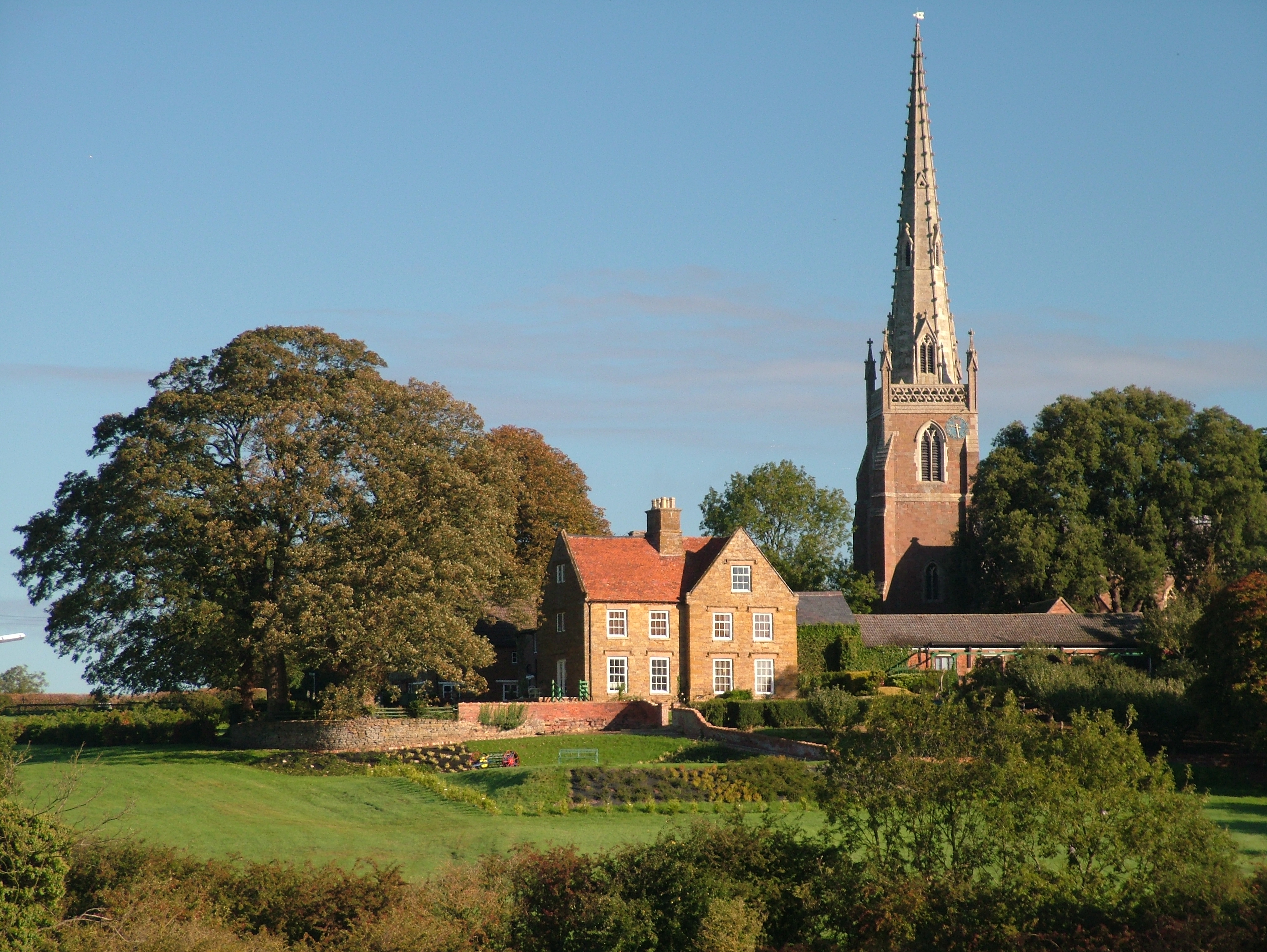
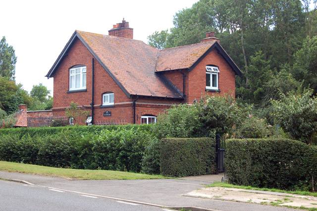
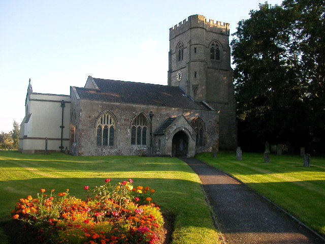
Braunston

Braunston is a village and civil parish in the West Northamptonshire unitary authority area of Northamptonshire, England, next to the border with Warwickshire...
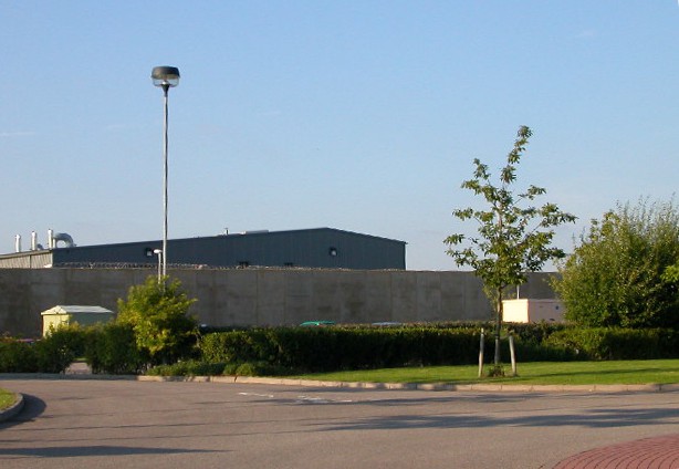
HM Prison Rye Hill

HM Prison Rye Hill is a Category B men's private prison, operated by G4S. Rye Hill has exclusively housed sex offenders since 2014. The prison is next...

Willoughby, Warwickshire

Willoughby is a village and civil parish about 5 miles (8 km) south of Rugby, Warwickshire, England. The village is about 4.5 miles (7 km) northwest of...

Rainsbrook Secure Training Centre

Rainsbrook Secure Training Centre is a secure school and housing unit for children and teenagers between Dunchurch and Barby, south of Rugby, in Warwickshire...

Nearby Amenities

Located within 500m of 52.314937,-1.2062539
Barrier: stile
Foot: yes
Lat/Long: 52.3162677/-1.2091935
Barrier: stile
Foot: yes
Lat/Long: 52.3174086/-1.2086079
Bench
Backrest: yes
Colour: brown
Material: wood
Seats: 2
Lat/Long: 52.3178401/-1.2082662
Barrier: stile
Foot: yes
Lat/Long: 52.3178609/-1.20826
Barrier: stile
Foot: yes
Lat/Long: 52.3181527/-1.2083062
Barrier: stile
Foot: yes
Lat/Long: 52.318929/-1.2081253
Cafe
The Willows Coffee Shop
Addr City: Rugby
Addr Country: GB
Addr Housename: Barby Nurseries
Addr Postcode: CV23 8TG
Addr Street: Welton Road
Addr Village: Barby
Fhrs Authority: West Northamptonshire
Fhrs Id: 1134226
Fhrs Local Authority Id: PI/000056012
Lat/Long: 52.3181827/-1.2028608
The data included in this document is from www.openstreetmap.org. The data is made available under ODbL.

Have you been to Tiltup's Wood?

Leave your review of Tiltup's Wood below (or comments, questions and feedback).