Miley Howe
Heritage Site in Yorkshire Ryedale
England
Miley Howe
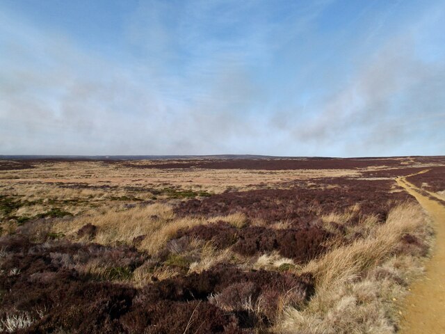
Mickle Howe is a significant heritage site situated in the Yorkshire Dales, England. This ancient landmark holds great historical and cultural importance, attracting tourists and history enthusiasts from all over the world. Dating back to the Neolithic era, Mickle Howe offers a fascinating glimpse into the region's past.
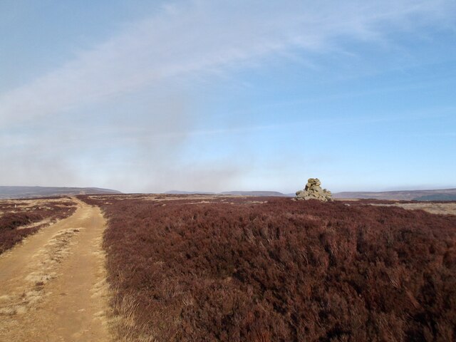
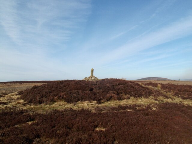
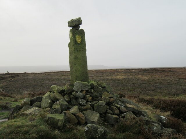
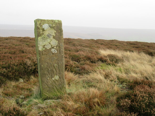
The site comprises a large burial mound, believed to be a tomb from around 3500 BC. Standing at an impressive height of 10 meters, the mound is made of earth and stone, with a circular shape that spans approximately 30 meters in diameter. The structure is surrounded by a shallow ditch, which is a common feature of similar burial sites in the area. Archaeological excavations at Mickle Howe have revealed various artifacts, including pottery, tools, and human remains, shedding light on the burial practices and everyday life of the ancient inhabitants.
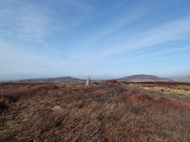
The tomb is believed to have been used for multiple burials over several centuries, making it a significant archaeological find. The site is considered a sacred place by many, and it holds an air of mystery and intrigue. Visitors can explore the site and take in the breathtaking views of the surrounding countryside.
Mickle Howe is easily accessible and is well-maintained, providing visitors with information boards and guided tours. The site offers an opportunity to delve into the rich history of Yorkshire and understand the lives of the people who once lived in this ancient landscape. Mickle Howe is truly a treasure trove of knowledge and an essential stop for anyone interested in the region's cultural heritage.
If you have any feedback on the listing, please let us know in the comments section below.
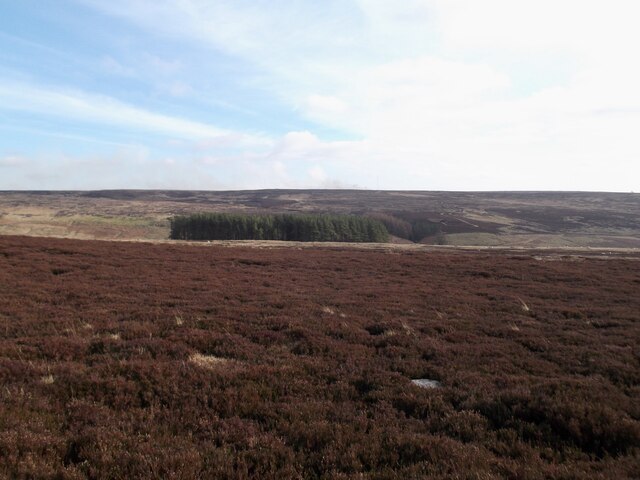
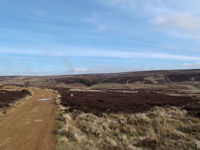
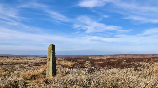
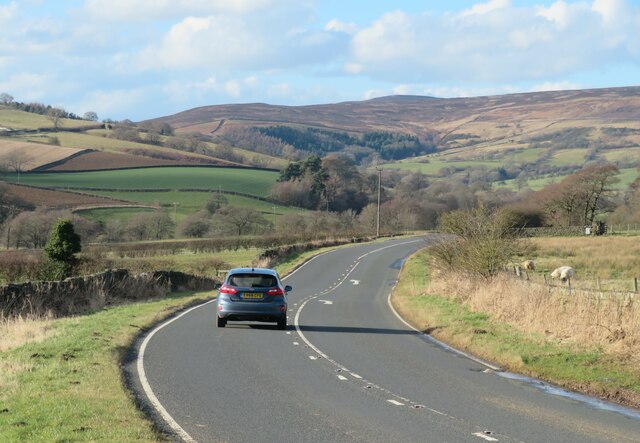
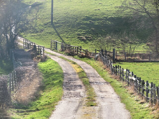
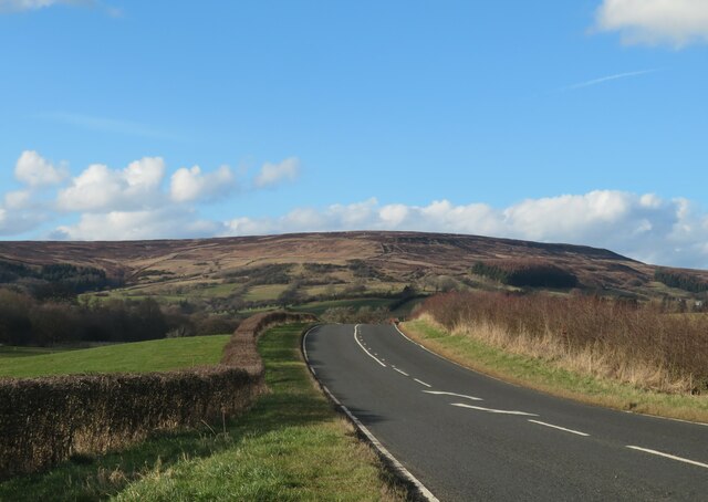
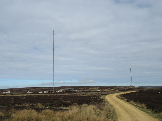
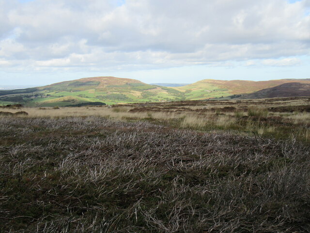
Miley Howe Images
Images are sourced within 2km of 54.37/-1.16 or Grid Reference SE5497. Thanks to Geograph Open Source API. All images are credited.
Miley Howe is located at Grid Ref: SE5497 (Lat: 54.37, Lng: -1.16)
Division: North Riding
Administrative County: North Yorkshire
District: Ryedale
Police Authority: North Yorkshire
What 3 Words
///abolish.suspended.youths. Near Bilsdale, North Yorkshire
Nearby Locations
Related Wikis
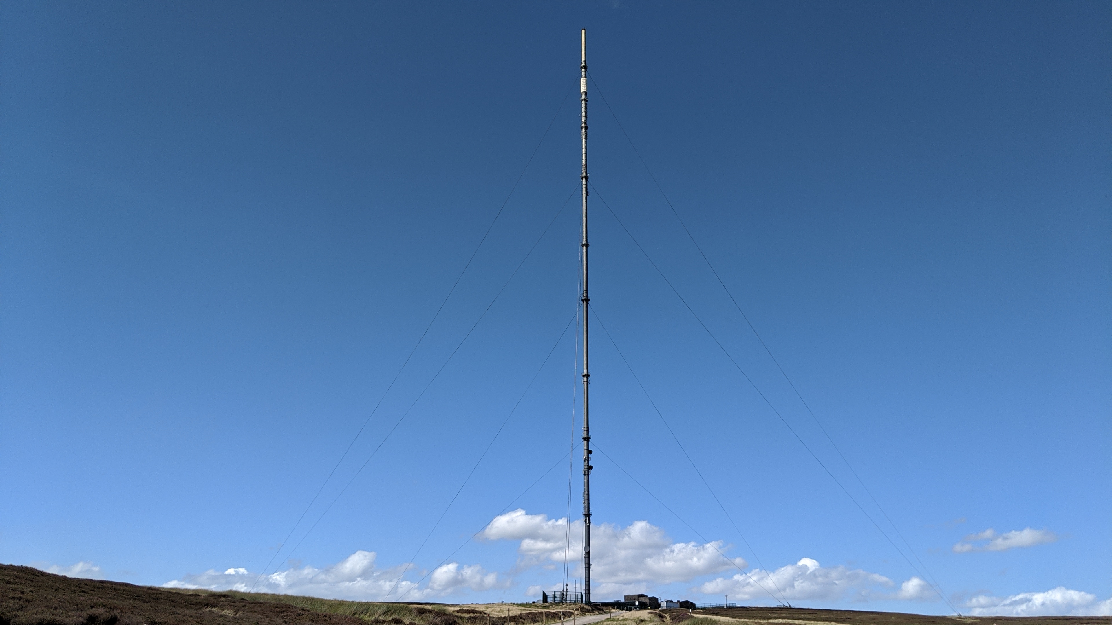
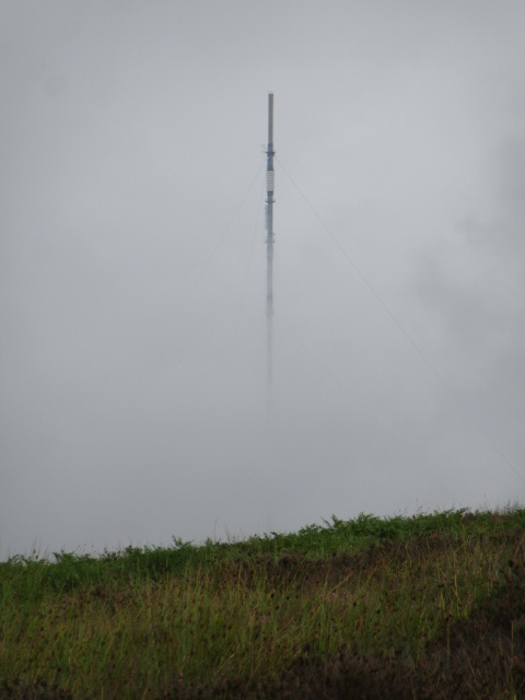
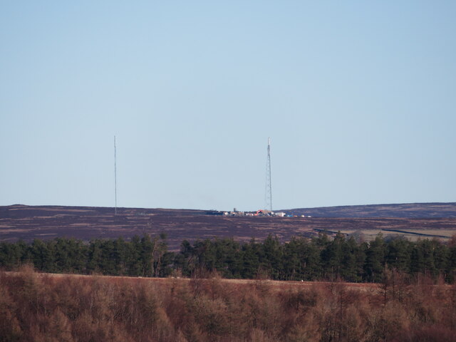
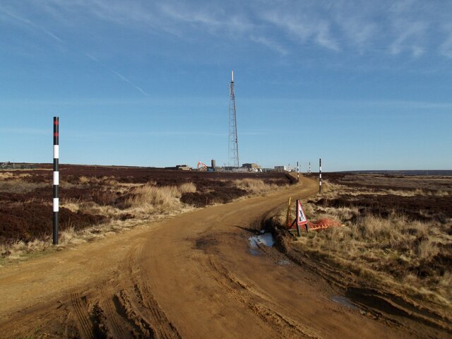
Bilsdale transmitting station
The Bilsdale transmitting station is a broadcasting and telecommunications facility, located at Bilsdale West Moor above Bilsdale, close to Helmsley, North...

Chop Gate
Chop Gate ( CHOP YAT) is a small village in the Hambleton district of North Yorkshire, England. The village lies within the North York Moors National Park...

Bilsdale Midcable
Bilsdale Midcable is a civil parish in North Yorkshire, England, which occupies the northern part of Bilsdale in the North York Moors National Park. According...

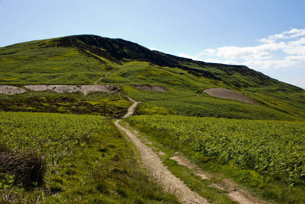
Bilsdale
Bilsdale is a dale in the western part of the North York Moors in North Yorkshire, England. The head of the dale is at Hasty Bank, and the dale extends...
Cringle Moor
Cringle Moor (also known as Cranimoor), at 432 m (1,417 ft), is the third-highest hill in the North York Moors, England, and the highest point west of...

Cleveland Hills
The Cleveland Hills are a range of hills on the north-west edge of the North York Moors in North Yorkshire, England, overlooking Cleveland and Teesside...

Urra Moor
Urra Moor is the highest moor in the North York Moors, North Yorkshire, England. At 1,490 feet (454 m) above sea level it is the highest point in Hambleton...

Laskill
Laskill is a small hamlet in Bilsdale, 5 miles (8 km) north-west of Helmsley, North Yorkshire, England, on the road from Helmsley to Stokesley and is located...
Nearby Amenities
Located within 500m of 54.37,-1.16Have you been to Miley Howe?
Leave your review of Miley Howe below (or comments, questions and feedback).