Mile Cairn

Heritage Site in Angus

Scotland

Mile Cairn

Train for plants Whisky barrels ready to be planted with flowers at this folk museum
Train for plants Credit: Ralph Greig

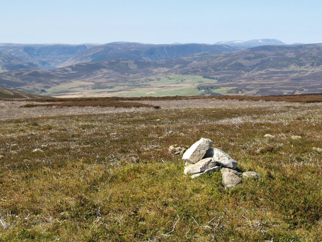
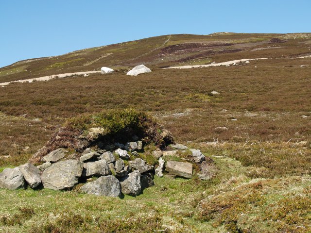
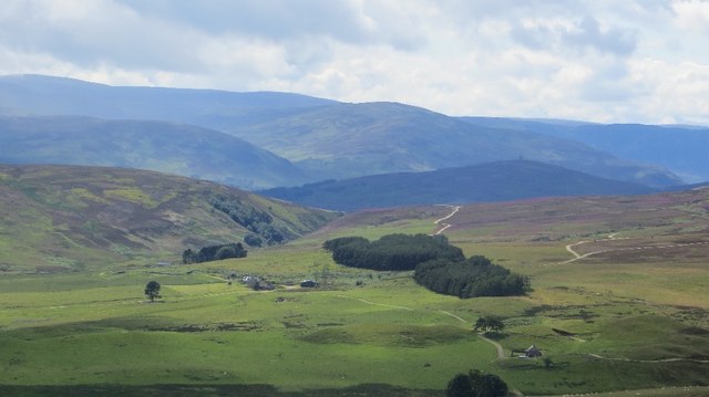
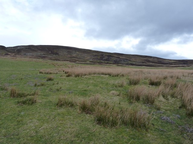
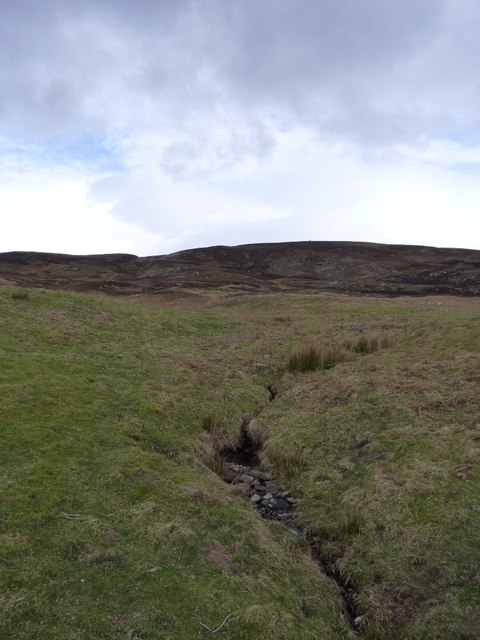
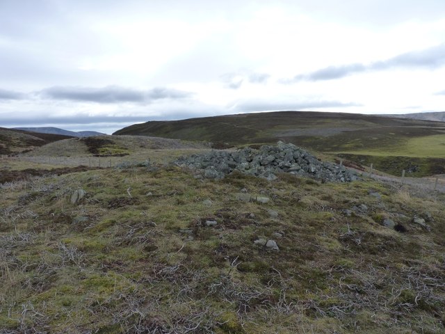
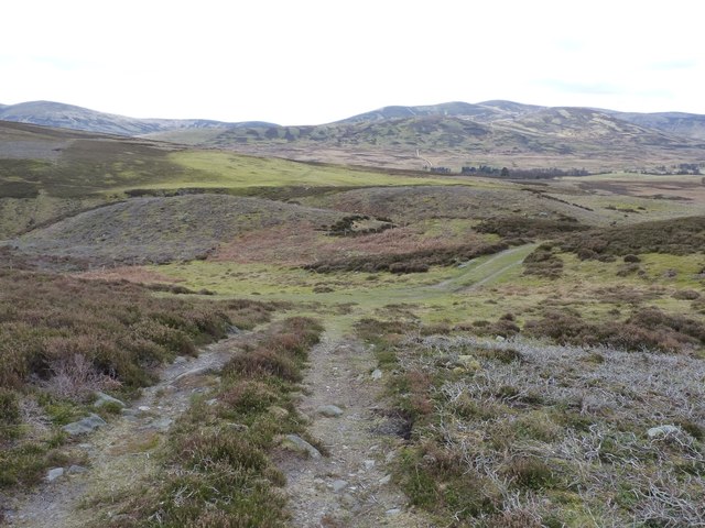
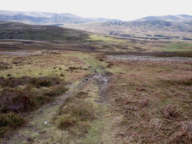
Mile Cairn is a significant heritage site located in Angus, Scotland. It is an ancient monument that holds historical and cultural importance. The cairn is situated on a grassy knoll, surrounded by a picturesque landscape.

This heritage site is believed to have been constructed during the late Neolithic period, around 4000 to 2500 BC. It consists of a large circular mound made of stones and earth, measuring approximately 50 feet in diameter. The cairn stands at a height of about 10 feet, demonstrating the remarkable engineering skills of the people who built it.

The purpose of Mile Cairn is still a subject of debate among archaeologists and historians. Some theories suggest that it may have served as a burial mound or a ceremonial site. Others propose that it could have been an ancient marker, guiding travelers or indicating territorial boundaries. The cairn's location on a prominent hilltop suggests its possible use as a navigational aid or a site with symbolic significance.

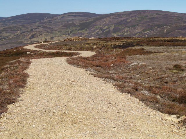
Visitors to Mile Cairn can explore the intriguing structure and witness the remnants of its ancient past. The monument offers a glimpse into the rich history and cultural heritage of the region. The surrounding landscape provides a serene atmosphere, allowing visitors to appreciate the site's historical significance while enjoying the natural beauty of Angus.

Mile Cairn stands as a testament to the enduring legacy of the Neolithic people and their mastery of construction techniques. Its preservation as a heritage site ensures that future generations can continue to learn from and appreciate this remarkable ancient monument.

If you have any feedback on the listing, please let us know in the comments section below.

Mile Cairn Images

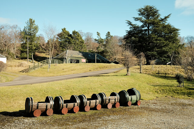
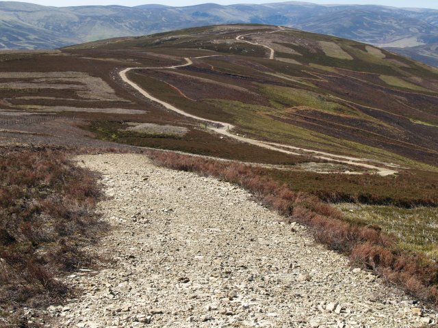
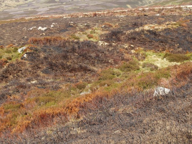
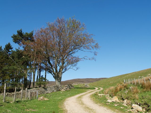
Images are sourced within 2km of 56.913/-2.797 or Grid Reference NO5180. Thanks to Geograph Open Source API. All images are credited.

Train for plants Whisky barrels ready to be planted with flowers at this folk museum
Train for plants
Whisky barrels ready to be planted with flowers at this folk museum
Estate road, Mount Een The track from the summit of Mount Een to Craig Soales.  Patches of heather at various stages or regeneration after burning can be seen.
Estate road, Mount Een
The track from the summit of Mount Een to Craig Soales. Patches of heather at various stages or regeneration after burning can be seen.
Burnt heather,  Mount Een The heather is regularly burnt to promote new growth, which provides food for the Grouse.
Burnt heather, Mount Een
The heather is regularly burnt to promote new growth, which provides food for the Grouse.
Track, Wester Aucheen The track climbs past Broomfaulds then contours West to Townhead and Tarfside.
Track, Wester Aucheen
The track climbs past Broomfaulds then contours West to Townhead and Tarfside.
Summit Cairn, Mount Een The top is rather flat but with good views.
Summit Cairn, Mount Een
The top is rather flat but with good views.
Grouse Butt, Mount Een Further up the hill are more elaborate circular butts which are replacing these older style constructions.
Grouse Butt, Mount Een
Further up the hill are more elaborate circular butts which are replacing these older style constructions.
Estate road, Mount Een The network of estate roads in this area rather distract from the landscape.
Estate road, Mount Een
The network of estate roads in this area rather distract from the landscape.
Estate road, Mount Een Takes the flat ridge between Mount Een and Bennygray.
Estate road, Mount Een
Takes the flat ridge between Mount Een and Bennygray.
Old tractor, Blackcraigs This square is mixed woodland, rough grazing, and heather, with two farms.
Old tractor, Blackcraigs
This square is mixed woodland, rough grazing, and heather, with two farms.
Old sheds, Blackcraigs Farm
Drainage ditch, Hazel Burn The rough moorland hereabouts has number of drainage ditches, presumably to make the ground more attractive to grouse.
Drainage ditch, Hazel Burn
The rough moorland hereabouts has number of drainage ditches, presumably to make the ground more attractive to grouse.
Race Marshall, Scarecrow you tell me You see the strangest things when you spend time wandering around the local mountain tracks on a slight mound where 2 tracks meet.  Mount Battock has a nice covering of rainy cloud on the horizon.
Race Marshall, Scarecrow you tell me
You see the strangest things when you spend time wandering around the local mountain tracks on a slight mound where 2 tracks meet. Mount Battock has a nice covering of rainy cloud on the horizon.
Blackcraigs View from Hill of Turret.
Blackcraigs
View from Hill of Turret.
The lower slopes of Craig Soales Lightly improved grassland at lower altitudes, which gives way to extensive grouse moor above.
The lower slopes of Craig Soales
Lightly improved grassland at lower altitudes, which gives way to extensive grouse moor above.
A tributary of the Burn of Mangey
The Mile Cairn An ancient cairn on the pass between Tarfside and Millden, with Craig Crane beyond.
The Mile Cairn
An ancient cairn on the pass between Tarfside and Millden, with Craig Crane beyond.
Track junction above Tarfside A few feet above the junction of tracks in the valley - the one we're climbing here leads high up onto Craig Soales and the grouse moors above.
Track junction above Tarfside
A few feet above the junction of tracks in the valley - the one we're climbing here leads high up onto Craig Soales and the grouse moors above.
Down the track that climbs Craig Soales
Show me another place!

Mile Cairn is located at Grid Ref: NO5180 (Lat: 56.913, Lng: -2.797)

What 3 Words

///redouble.smooth.masterful. Near Aboyne, Aberdeenshire

Nearby Locations

Mile Cairn

Related Wikis

Tarfside

Tarfside is a small hamlet in Angus, Scotland. It is situated in Glen Esk, on the upper course of the River North Esk, around 8 miles north of Edzell,...

Millden

Millden is a hamlet, estate and farmstead in Glenesk, Angus, Scotland. It is situated in the upper course of the Glen Esk valley, where the Burn of Turret...

Mount Battock

Mount Battock (778 m) is a mountain in the Mounth on the eastern edge of the Scottish Highlands, on the border between Aberdeenshire and Angus. A rounded...

Colmeallie stone circle

The Colmeallie stone circle is a recumbent stone circle in Glen Esk, Angus, Scotland. It is located 8 km north of Edzell at Colmeallie Farm, adjacent to...

Invermark Castle

Invermark Castle is an oblong tower house dating from the 16th century, at the east of Loch Lee, Angus, Scotland. It is near the head of Glen Esk. ��2...

Invermark Lodge

Invermark Lodge is a hunting lodge which was built near Invermark Castle in 1852 for John Ramsay, 13th Earl of Dalhousie. It is now a listed building...

Loch Lee

National grid reference NO431800 Loch Lee is a loch in Angus, Scotland south of the Grampian Mountains that is fed by the Water of Lee and the Water of...

Glen Mark

Glen Mark is a glen in northern Angus, eastern Scotland, through which the Water of Mark flows. Near the mouth of the glen, at Auchronie, the Water of...

Have you been to Mile Cairn?

Leave your review of Mile Cairn below (or comments, questions and feedback).