Cuckoo Hill
Hill, Mountain in Yorkshire Selby
England
Cuckoo Hill
Cuckoo Hill is a prominent geographical feature located in the picturesque county of Yorkshire, England. Situated in the northern part of the county, this hill is part of the beautiful Yorkshire Dales National Park. Rising to an elevation of approximately 400 meters (1,300 feet), Cuckoo Hill offers breathtaking panoramic views of the surrounding countryside.
The hill's name is derived from the abundance of cuckoos that can be heard in the area during the spring and summer months. It is a popular spot for nature enthusiasts and birdwatchers who come to witness the diverse birdlife that calls this hill home.
Covered in lush green vegetation, Cuckoo Hill showcases the stunning landscape of Yorkshire. The slopes are dotted with colorful wildflowers during the warmer seasons, adding to its natural beauty. Its location within the national park ensures that the hill is preserved and protected, maintaining its pristine condition.
Cuckoo Hill also serves as a great starting point for hikers and walkers, with numerous trails crisscrossing the area. These pathways lead visitors through the rolling hills and valleys, providing a captivating exploration of the Yorkshire Dales.
The hill's strategic location also offers a vantage point for photographers, who are able to capture the stunning vistas and dramatic sunsets that grace the region. Cuckoo Hill truly encapsulates the essence of Yorkshire's natural charm and is a must-visit destination for anyone seeking a tranquil escape in the heart of the British countryside.
If you have any feedback on the listing, please let us know in the comments section below.
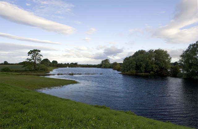
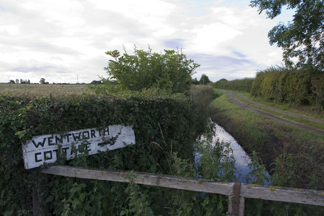
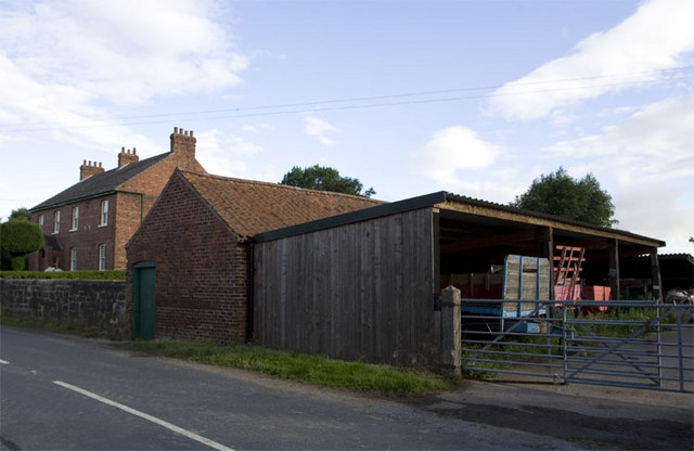
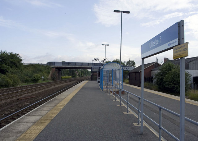
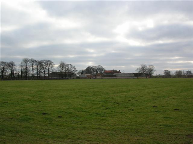
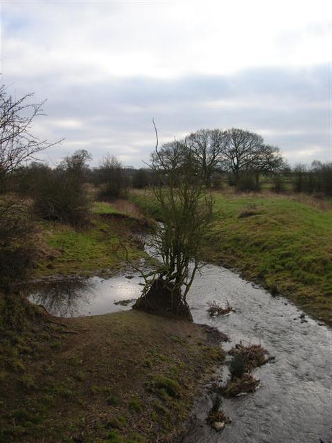
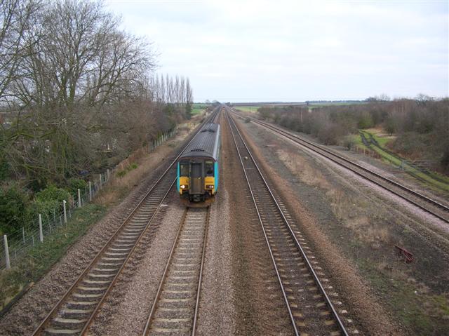
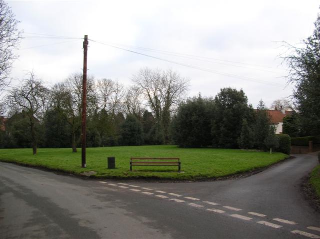
Cuckoo Hill Images
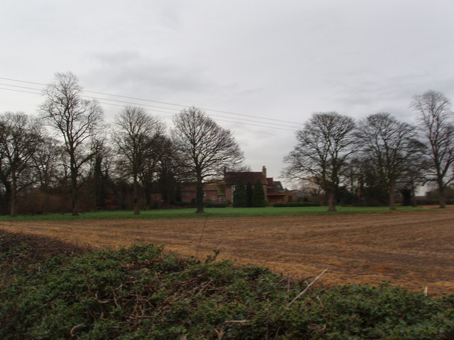
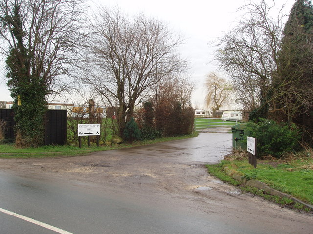
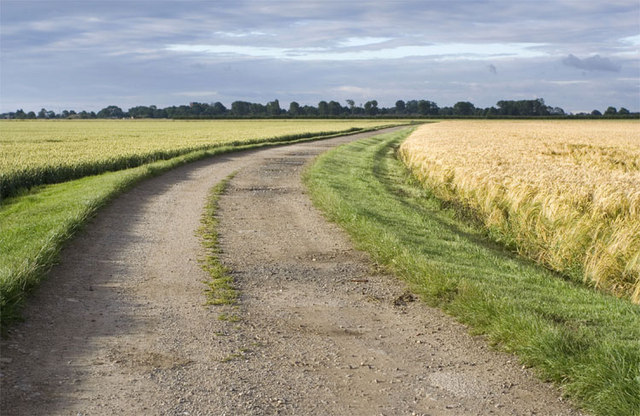
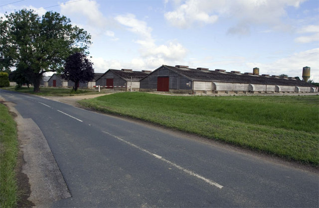
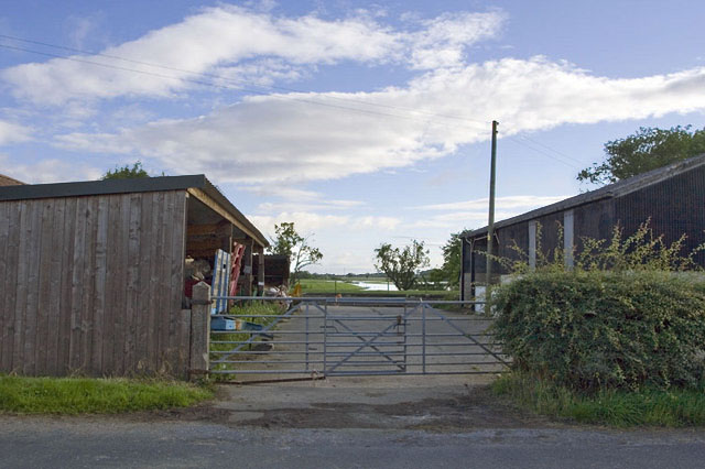
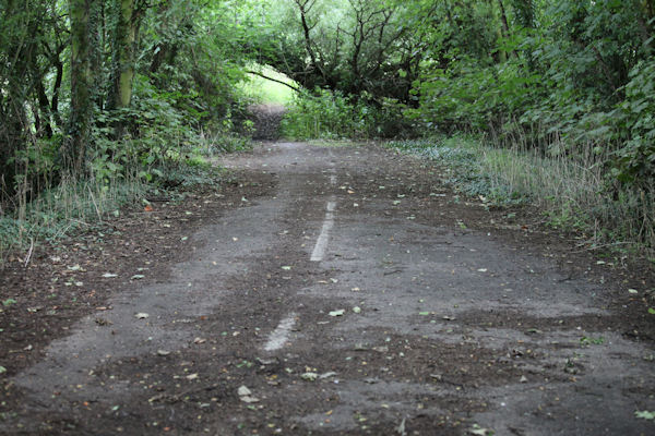
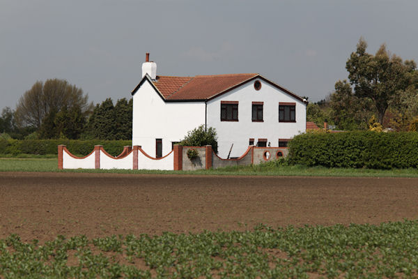
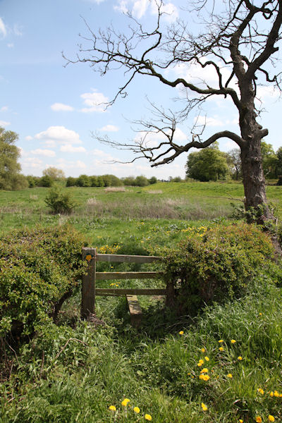
Images are sourced within 2km of 53.864832/-1.1929746 or Grid Reference SE5341. Thanks to Geograph Open Source API. All images are credited.


Cuckoo Hill is located at Grid Ref: SE5341 (Lat: 53.864832, Lng: -1.1929746)
Division: West Riding
Administrative County: North Yorkshire
District: Selby
Police Authority: North Yorkshire
What 3 Words
///dished.erupt.trembles. Near Church Fenton, North Yorkshire
Nearby Locations
Related Wikis

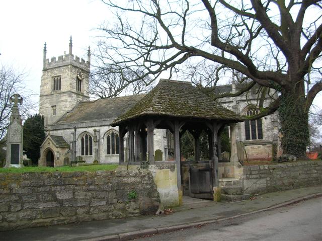
All Saints' Church, Bolton Percy
All Saints' Church is the parish church of Bolton Percy, in North Yorkshire in England. There was a church in Bolton Percy at the time of the Domesday...

Bolton Percy Gatehouse
Bolton Percy Gatehouse is a historic building in the village of Bolton Percy, southwest of York in England. The gatehouse was built in the late 15th century...
Bolton Percy
Bolton Percy is a village and civil parish in the Selby District of North Yorkshire, England. According to the 2001 census it had a population of 305...
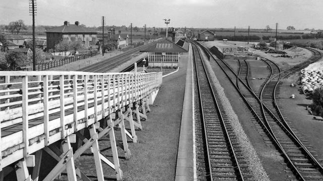
Bolton Percy railway station
Bolton Percy railway station served the village of Bolton Percy, North Yorkshire, England from 1839 to 1965 on the York and North Midland Railway. ��2...
Nearby Amenities
Located within 500m of 53.864832,-1.1929746Have you been to Cuckoo Hill?
Leave your review of Cuckoo Hill below (or comments, questions and feedback).