Bullister Hill

Hill, Mountain in Yorkshire Hambleton

England

Bullister Hill

Footpath off Tunstall Lane Path heading south along a belt of trees. One is doubtful if this path sees much pedestrian traffic as it doesn't lead to anywhere very interesting.
Footpath off Tunstall Lane Credit: Gordon Hatton

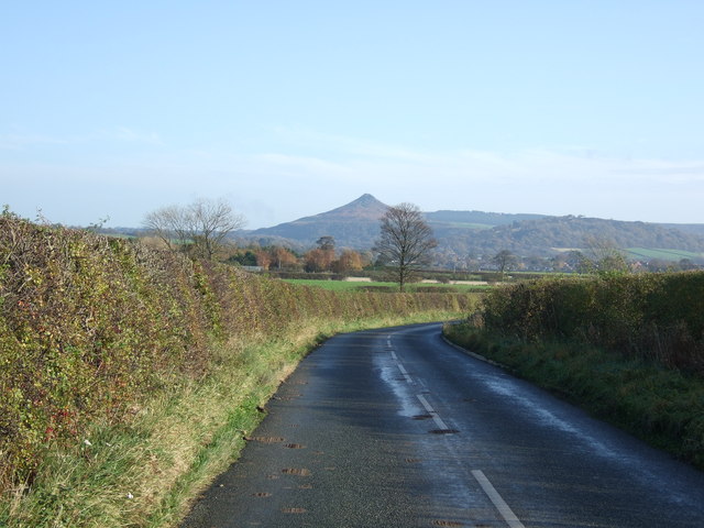
Bullister Hill is a prominent geographical feature located in the county of Yorkshire, England. Rising to an elevation of approximately 400 meters (1312 feet), it is classified as a hill rather than a mountain. Situated in the northern region of the county, Bullister Hill offers picturesque views of the surrounding landscape, making it a popular destination for nature enthusiasts and hikers.

The hill is characterized by its rolling terrain, covered in lush green vegetation, and dotted with patches of heather and bracken. It is primarily composed of sedimentary rocks, such as sandstone and limestone, which contribute to its distinctive appearance. Bullister Hill is part of the larger Pennine Range, a well-known mountain range in England.

The hill is easily accessible by foot, with several footpaths and trails leading to its summit. Hikers can enjoy a moderate to challenging climb, depending on the chosen route, and are rewarded with breathtaking panoramic views of the Yorkshire Dales and the nearby Nidderdale Area of Outstanding Natural Beauty.

Bullister Hill also holds historical significance, as it was once used by locals for grazing livestock. The remnants of old stone walls and sheepfolds can still be found scattered across the hill, serving as a reminder of its agricultural past.

Overall, Bullister Hill offers a scenic and rewarding outdoor experience for visitors, providing a glimpse into the natural beauty and rich heritage of the Yorkshire countryside.

If you have any feedback on the listing, please let us know in the comments section below.

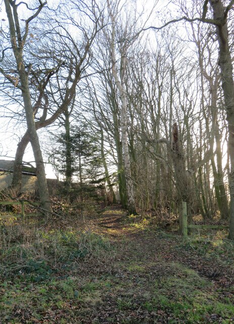
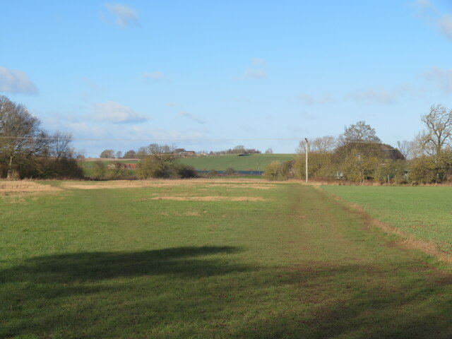
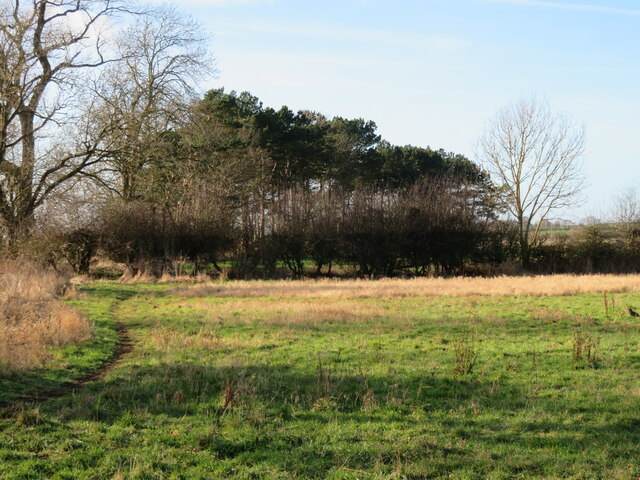
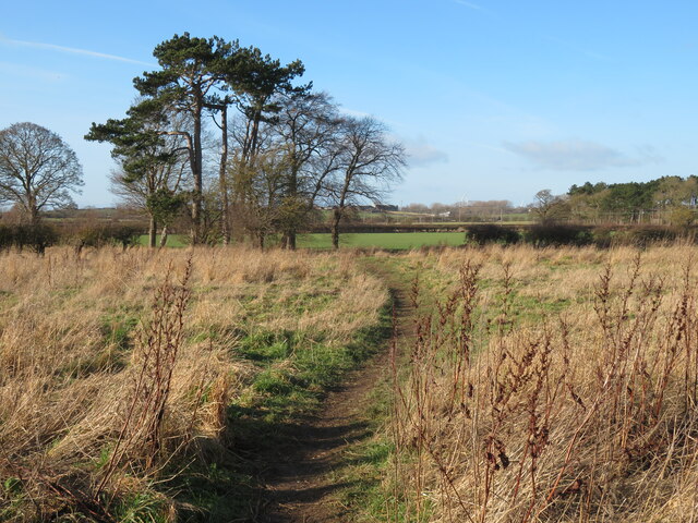
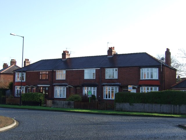
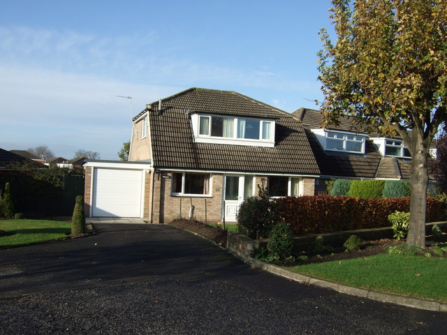
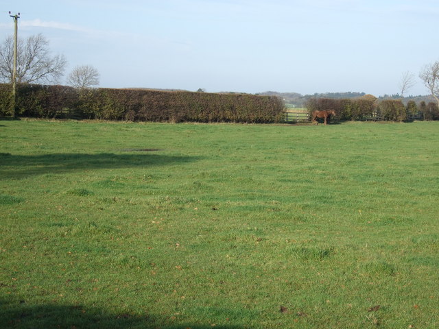
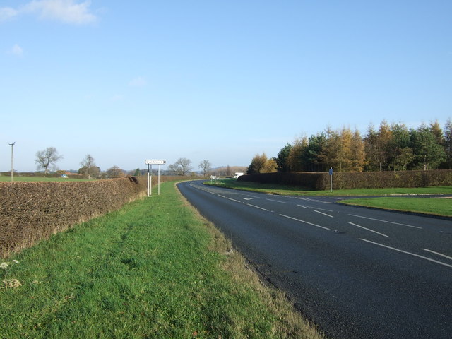
Bullister Hill Images

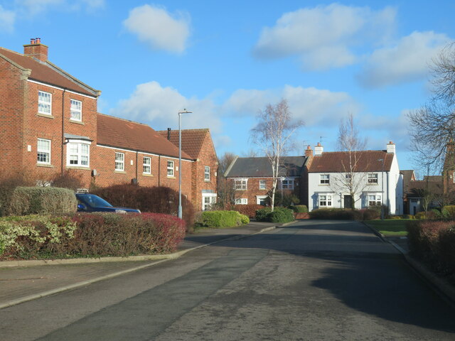
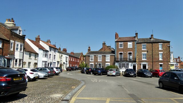
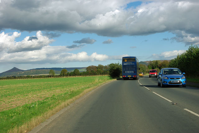
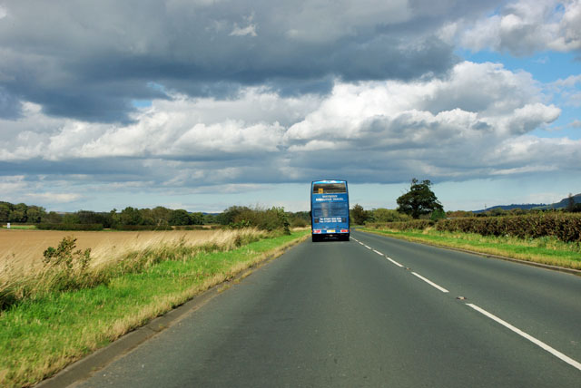
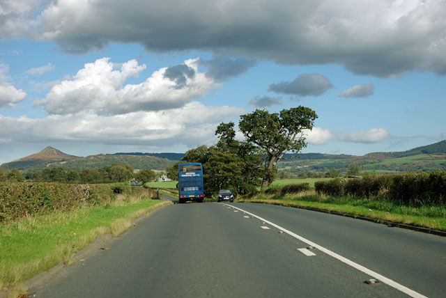
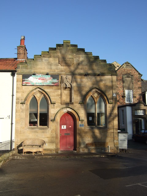
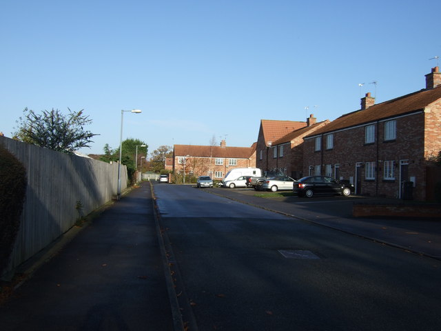
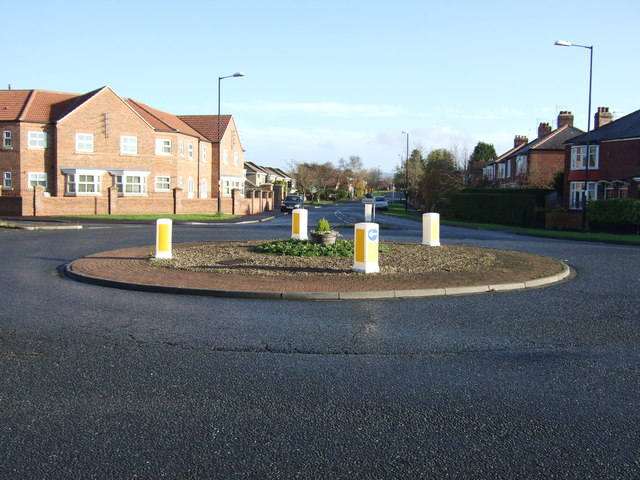
Images are sourced within 2km of 54.482608/-1.1809545 or Grid Reference NZ5310. Thanks to Geograph Open Source API. All images are credited.

Footpath off Tunstall Lane Path heading south along a belt of trees. One is doubtful if this path sees much pedestrian traffic as it doesn't lead to anywhere very interesting.
Footpath off Tunstall Lane
Path heading south along a belt of trees. One is doubtful if this path sees much pedestrian traffic as it doesn't lead to anywhere very interesting.
Path towards Seamer Field paths here are well used by dog walkers from nearby Stokesley. This is path 10.140/1 heading from that town towards Seamer.
Path towards Seamer
Field paths here are well used by dog walkers from nearby Stokesley. This is path 10.140/1 heading from that town towards Seamer.
Conifer plantation near Stokesley Fields and conifers to the north-west of Stokesley. The path here is not a right of way, but is probably used by dog walkers from a nearby housing estate.
Conifer plantation near Stokesley
Fields and conifers to the north-west of Stokesley. The path here is not a right of way, but is probably used by dog walkers from a nearby housing estate.
Path on the edge of Stokesley Path across rough grassland on the edge of the town. This is path number 10.140/1.
Path on the edge of Stokesley
Path across rough grassland on the edge of the town. This is path number 10.140/1.
The Stripe, Stokesley Unusual named road in a modern housing development on the edge of town.
The Stripe, Stokesley
Unusual named road in a modern housing development on the edge of town.
College Square Mainly a car park flanked by historic properties
College Square
Mainly a car park flanked by historic properties
View from the A173 On the left, the conical shape which looks like a huge slag heap distantly from this direction is the natural (apart from some quarrying) Roseberry Topping.
View from the A173
On the left, the conical shape which looks like a huge slag heap distantly from this direction is the natural (apart from some quarrying) Roseberry Topping.
Blue coach on A173 Watsons Executive Travel, but with a school bus sign in the window.
Blue coach on A173
Watsons Executive Travel, but with a school bus sign in the window.
View from the A173 The North Yorkshire Moors form the high ground, falling away to the north apart from the striking outlier of Roseberry Topping on the left.
View from the A173
The North Yorkshire Moors form the high ground, falling away to the north apart from the striking outlier of Roseberry Topping on the left.
Former schoolhouse, Stokesley
The Stripe, Stokesley
Roundabout on the B1365
Houses on Meadowfield, Stokesley
Meadowfield, Stokesley
House on Meadowfield
Farmland, High Pastures
A172 towards Middlesbrough
Yarm Lane heading east
Show me another place!

Bullister Hill is located at Grid Ref: NZ5310 (Lat: 54.482608, Lng: -1.1809545)

Division: North Riding

Administrative County: North Yorkshire

District: Hambleton

Police Authority: North Yorkshire

What 3 Words

///enlighten.prepped.sanded. Near Stokesley, North Yorkshire

Related Wikis

A172 road (England)

The A172 is a major road in North Yorkshire, and the unitary authority of Middlesbrough, England. It runs from Ingleby Arncliffe to Middlesbrough. The...

Tanton, North Yorkshire

Tanton is a hamlet in the civil parish of Stokesley, North Yorkshire, England. It lies on the B1365 which connects Stokesley in the south, with Marton...

Stokesley

Stokesley is a market town and civil parish in North Yorkshire, England. It lies within the historic county boundaries of the North Riding of Yorkshire...

Stokesley Rural District

Stokesley was a rural district in the North Riding of Yorkshire from 1894 to 1974. It was named after the town of Stokesley, which it contained.The district...

Have you been to Bullister Hill?

Leave your review of Bullister Hill below (or comments, questions and feedback).