Bolton Percy
Settlement in Yorkshire Selby
England
Bolton Percy
Bolton Percy is a charming village located in the county of Yorkshire, England. Nestled in the picturesque Vale of York, this historic village offers a peaceful and idyllic setting for residents and visitors alike. With a population of around 500 people, it retains a close-knit community atmosphere.
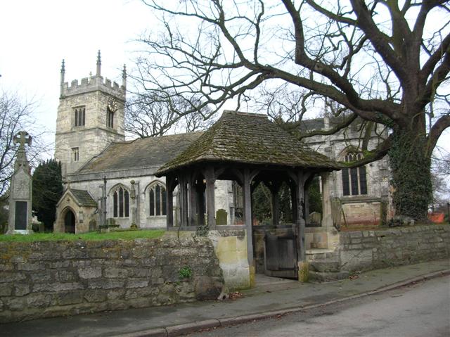
The village is steeped in history, with its origins dating back to medieval times. One of its standout features is the magnificent All Saints Church, a Grade I listed building that showcases stunning architecture and is renowned for its medieval stained glass windows. The church serves as a focal point for the community and holds regular services and events.
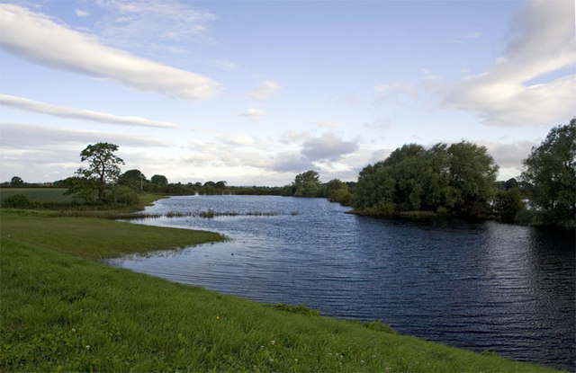
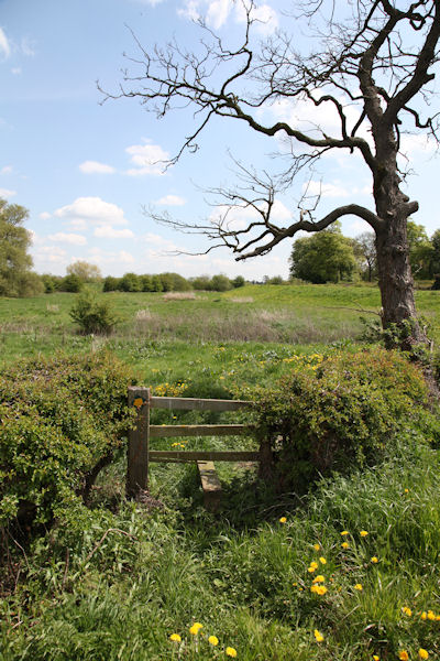
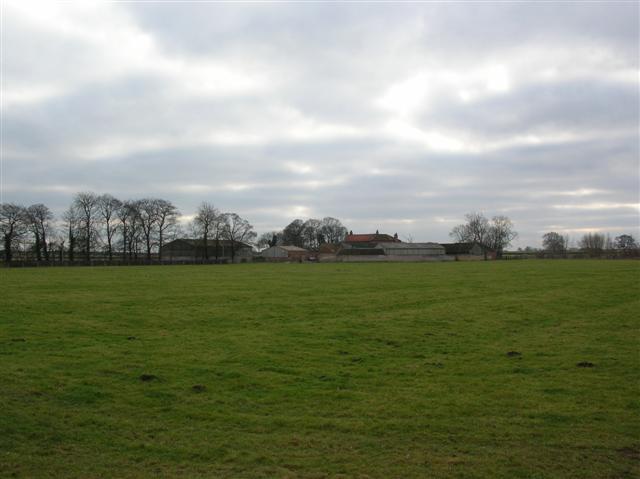
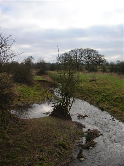
Surrounded by beautiful countryside, Bolton Percy is a haven for nature lovers and outdoor enthusiasts. The village is situated near the River Ouse, offering scenic walks along its banks and opportunities for fishing. The nearby Wheldrake Ings Nature Reserve is a haven for wildlife, attracting birdwatchers and nature photographers.
Despite its small size, Bolton Percy boasts several amenities to cater to its residents. These include a local pub, The Dawnay Arms, which provides a welcoming place for locals and visitors to enjoy a pint or a meal. Additionally, a village hall hosts various events, including community meetings and social gatherings.
Overall, Bolton Percy is a charming and historic village that offers a tranquil escape from the hustle and bustle of city life. With its rich history, stunning architecture, and beautiful surroundings, it is a hidden gem in the heart of Yorkshire.
If you have any feedback on the listing, please let us know in the comments section below.
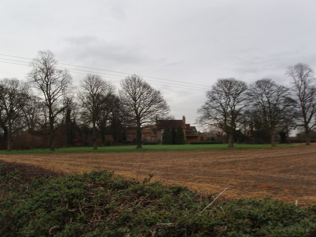
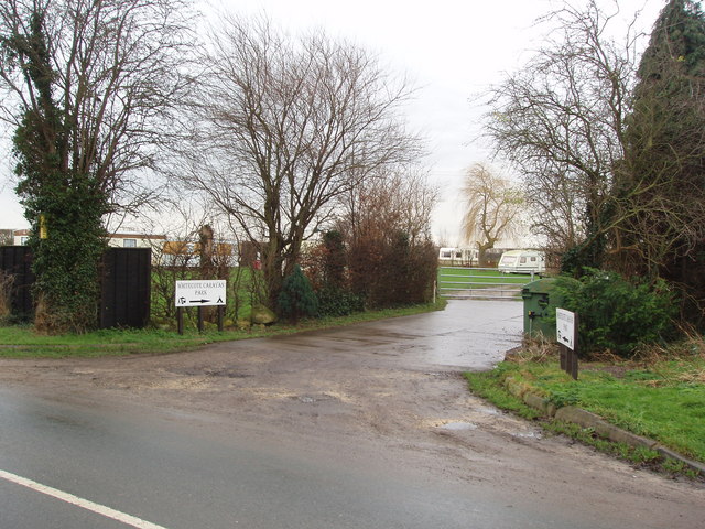
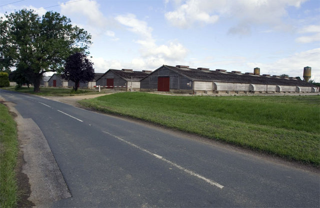
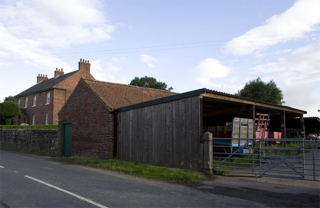
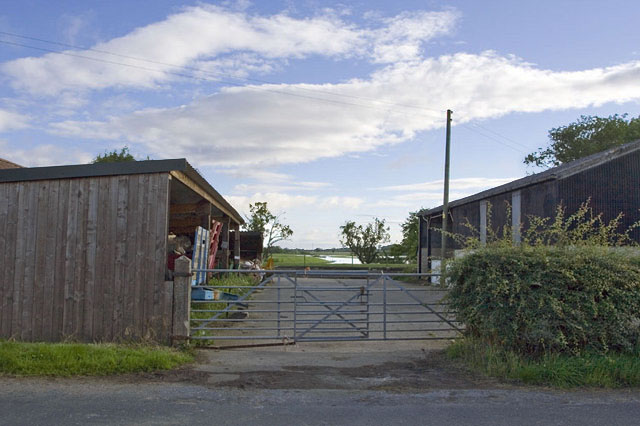
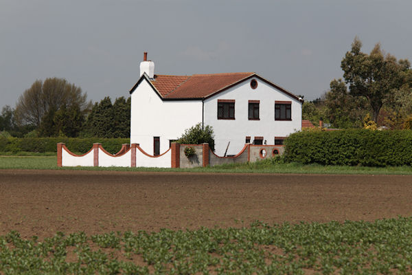
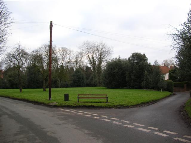
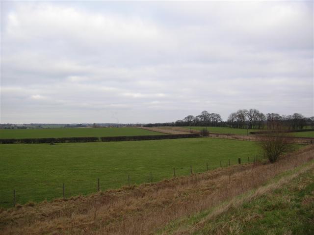
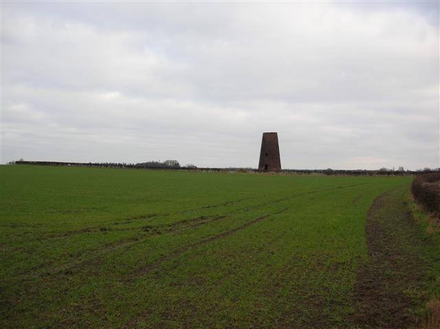
Bolton Percy Images
Images are sourced within 2km of 53.866355/-1.192673 or Grid Reference SE5341. Thanks to Geograph Open Source API. All images are credited.


Bolton Percy is located at Grid Ref: SE5341 (Lat: 53.866355, Lng: -1.192673)
Division: West Riding
Administrative County: North Yorkshire
District: Selby
Police Authority: North Yorkshire
What 3 Words
///window.carry.apes. Near Church Fenton, North Yorkshire
Nearby Locations
Related Wikis
Bolton Percy
Bolton Percy is a village and civil parish in the Selby District of North Yorkshire, England. According to the 2001 census it had a population of 305...

All Saints' Church, Bolton Percy
All Saints' Church is the parish church of Bolton Percy, in North Yorkshire in England. There was a church in Bolton Percy at the time of the Domesday...

Bolton Percy Gatehouse
Bolton Percy Gatehouse is a historic building in the village of Bolton Percy, southwest of York in England. The gatehouse was built in the late 15th century...
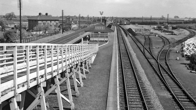
Bolton Percy railway station
Bolton Percy railway station served the village of Bolton Percy, North Yorkshire, England from 1839 to 1965 on the York and North Midland Railway. ��2...
Nearby Amenities
Located within 500m of 53.866355,-1.192673Have you been to Bolton Percy?
Leave your review of Bolton Percy below (or comments, questions and feedback).