Priest Hill
Hill, Mountain in Yorkshire Selby
England
Priest Hill
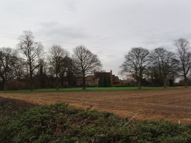
Priest Hill is a prominent hill located in Yorkshire, England. It is part of the North York Moors National Park and is situated near the village of Rosedale Abbey. The hill reaches a height of 454 meters (1,490 feet) above sea level, making it one of the highest points in the area.
Priest Hill is a popular destination for hikers and nature enthusiasts, offering stunning panoramic views of the surrounding countryside and the nearby Rosedale Valley. The hill is covered in heather and grasses, providing a habitat for a variety of wildlife such as birds, insects, and small mammals.
The area surrounding Priest Hill is rich in history, with evidence of ancient settlements and mining activities dating back to the Roman and medieval periods. Visitors to the hill can explore the remains of old mine workings and enjoy the peaceful and serene atmosphere of the moors.
Overall, Priest Hill is a beautiful and picturesque spot in Yorkshire, offering visitors the opportunity to experience the natural beauty and rich history of the North York Moors National Park.
If you have any feedback on the listing, please let us know in the comments section below.
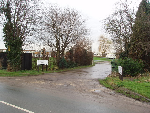
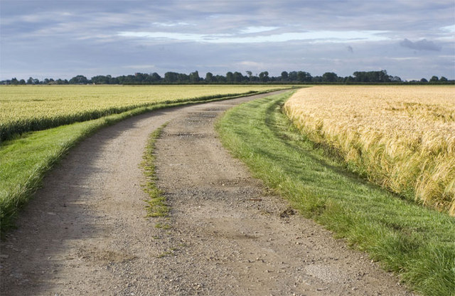
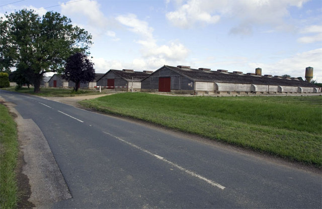
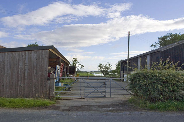
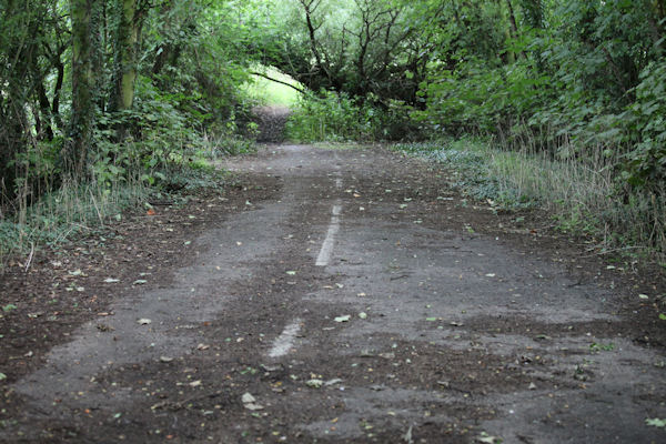
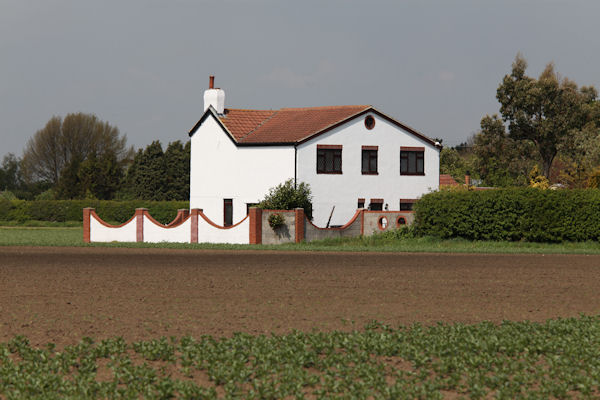
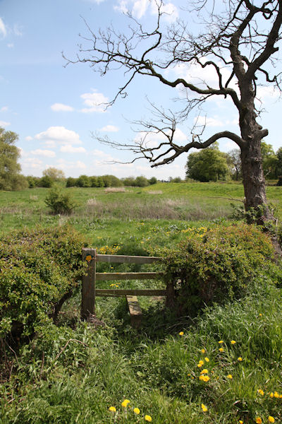
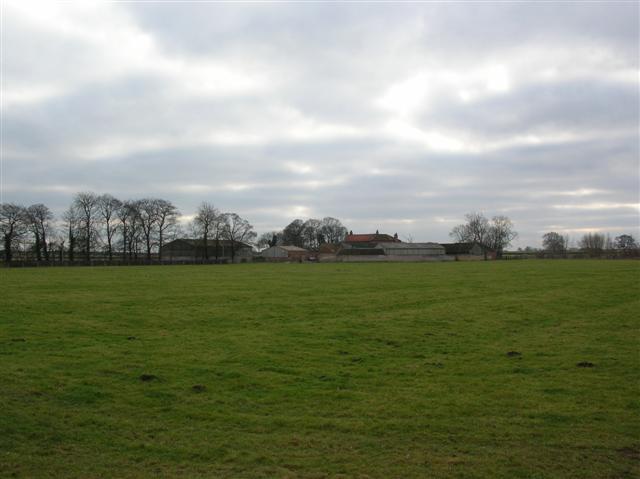
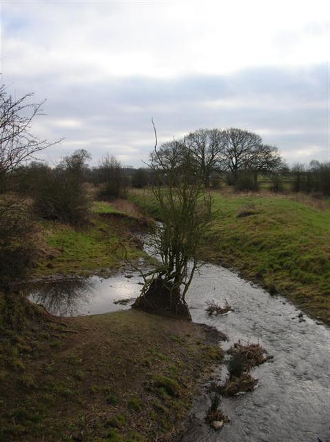
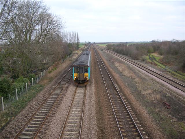
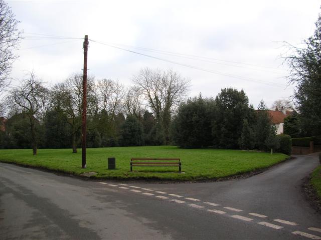
Priest Hill Images
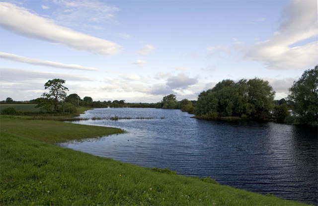
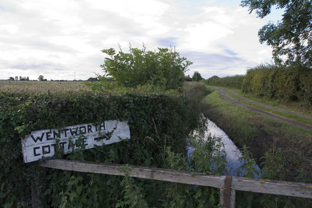
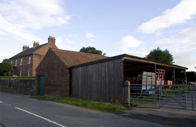
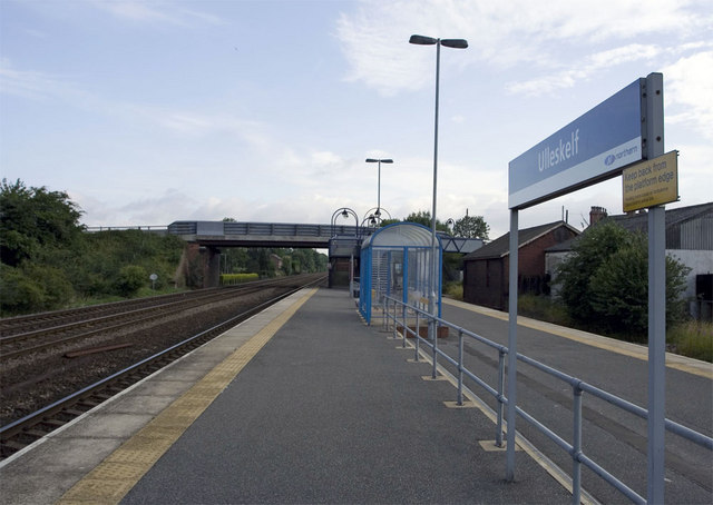
Images are sourced within 2km of 53.864832/-1.1929746 or Grid Reference SE5341. Thanks to Geograph Open Source API. All images are credited.


Priest Hill is located at Grid Ref: SE5341 (Lat: 53.864832, Lng: -1.1929746)
Division: West Riding
Administrative County: North Yorkshire
District: Selby
Police Authority: North Yorkshire
What 3 Words
///dished.erupt.trembles. Near Church Fenton, North Yorkshire
Nearby Locations
Related Wikis

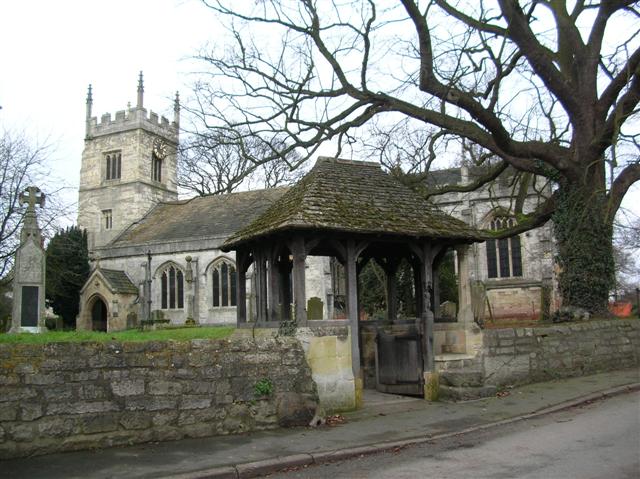
All Saints' Church, Bolton Percy
All Saints' Church is the parish church of Bolton Percy, in North Yorkshire in England. There was a church in Bolton Percy at the time of the Domesday...

Bolton Percy Gatehouse
Bolton Percy Gatehouse is a historic building in the village of Bolton Percy, southwest of York in England. The gatehouse was built in the late 15th century...
Bolton Percy
Bolton Percy is a village and civil parish in the Selby District of North Yorkshire, England. According to the 2001 census it had a population of 305...
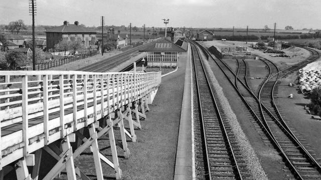
Bolton Percy railway station
Bolton Percy railway station served the village of Bolton Percy, North Yorkshire, England from 1839 to 1965 on the York and North Midland Railway. ��2...
Nearby Amenities
Located within 500m of 53.864832,-1.1929746Have you been to Priest Hill?
Leave your review of Priest Hill below (or comments, questions and feedback).