Catstone Hill
Hill, Mountain in Nottinghamshire Broxtowe
England
Catstone Hill
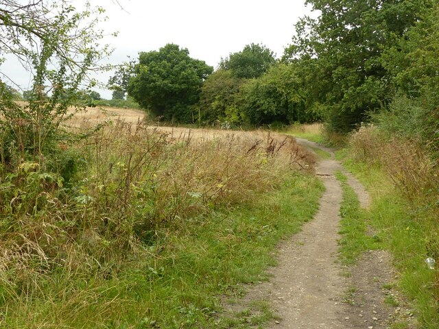
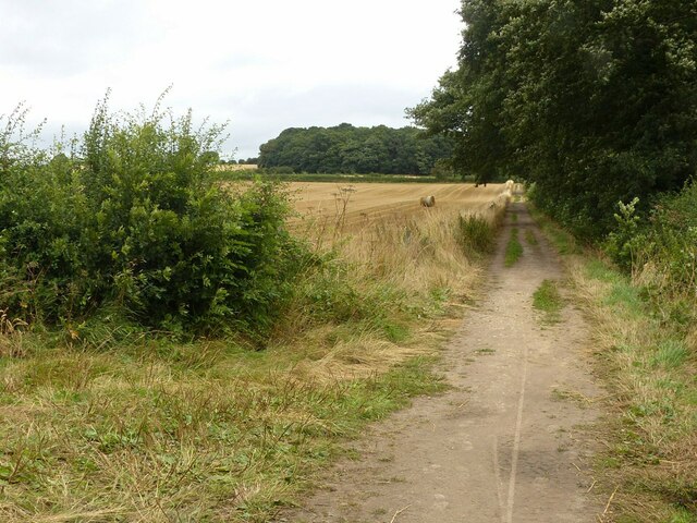
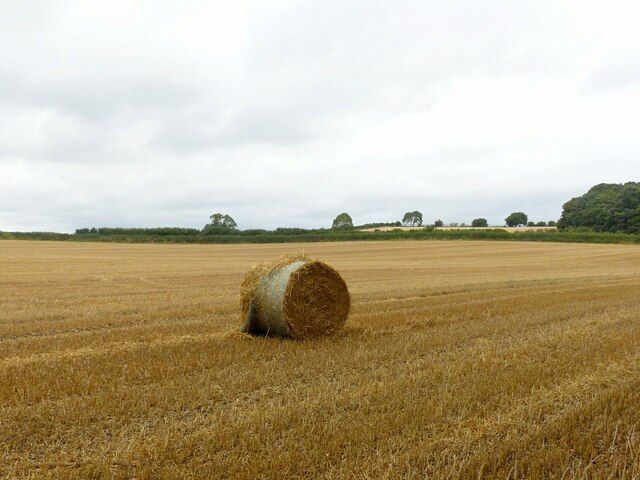
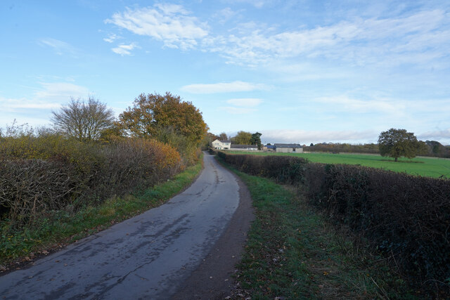
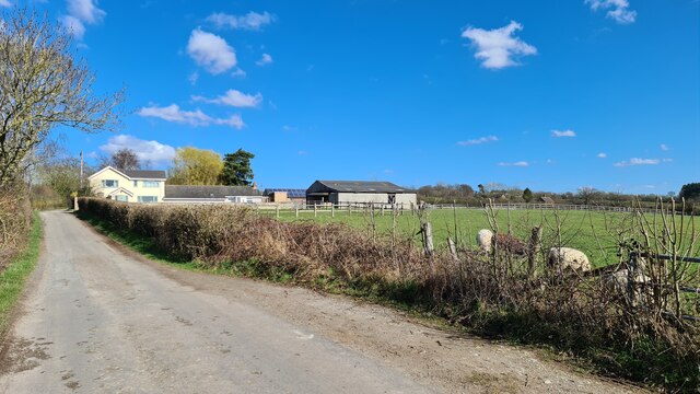
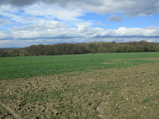
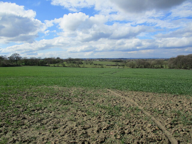
Catstone Hill is a prominent hill located in the county of Nottinghamshire, England. Situated near the village of Eakring, it forms part of the broader Sherwood Forest area. Despite being referred to as a hill, Catstone Hill is more accurately categorized as a prominent ridge due to its elongated shape and gentle slopes.
The hill rises to an elevation of approximately 165 meters (541 feet) above sea level, providing visitors with breathtaking panoramic views of the surrounding countryside. Its strategic position and commanding height have made it a popular destination for hikers, nature enthusiasts, and photographers.
Catstone Hill is characterized by its diverse flora and fauna, with a variety of trees including oak, beech, and birch dotting the landscape. The hill is also home to a range of wildlife, including rabbits, foxes, and various species of birds. The presence of these creatures adds to the natural beauty and tranquility of the area.
The hill has a rich historical significance as well. It is believed that Catstone Hill was an important vantage point for the legendary figure of Robin Hood, who often used the surrounding forest as a hideout. This connection with the famous outlaw has further added to the allure of the hill for locals and tourists alike.
Overall, Catstone Hill offers a perfect blend of natural beauty, historical significance, and recreational opportunities. Whether one seeks a peaceful stroll, a challenging hike, or a glimpse into the folklore of Sherwood Forest, Catstone Hill is a must-visit destination in Nottinghamshire.
If you have any feedback on the listing, please let us know in the comments section below.
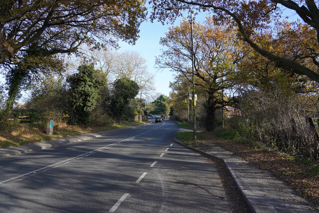
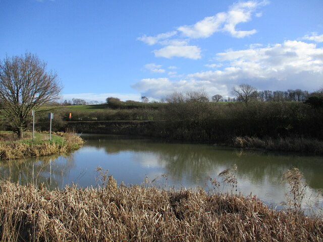
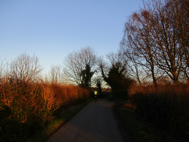
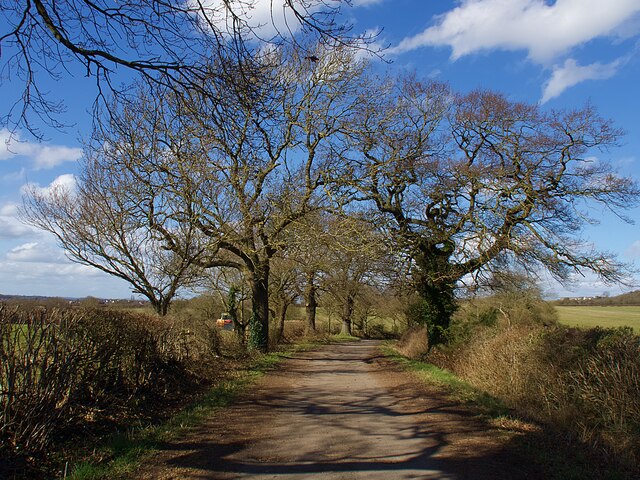
Catstone Hill Images
Images are sourced within 2km of 52.967239/-1.2494668 or Grid Reference SK5041. Thanks to Geograph Open Source API. All images are credited.
Catstone Hill is located at Grid Ref: SK5041 (Lat: 52.967239, Lng: -1.2494668)
Administrative County: Nottinghamshire
District: Broxtowe
Police Authority: Nottinghamshire
What 3 Words
///ranked.quench.bigger. Near Kimberley, Nottinghamshire
Nearby Locations
Related Wikis
Strelley Village
Strelley is a village and civil parish in the Borough of Broxtowe and City of Nottingham in Nottinghamshire, England. It is to the west of Nottingham....
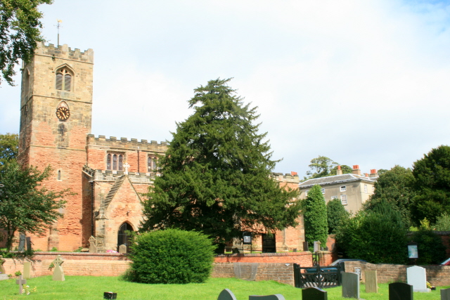
All Saints' Church, Strelley
All Saints' Church, Strelley is a Grade I listed parish church in the Church of England in Strelley, Nottinghamshire. == History == The church dates from...

Oldmoor Wood
Oldmoor Wood is a woodland in Nottinghamshire, England, near the village of Strelley. It covers a total area of 15.11 hectares (37.34 acres). It is owned...
Bilborough College
Bilborough Sixth Form College is a sixth-form college in Nottingham, England. The college has students from across the conurbation. A third of its students...
Nottingham University Samworth Academy
Nottingham University Samworth Academy (formerly William Sharp School) is a coeducational secondary school and sixth form with academy status, located...

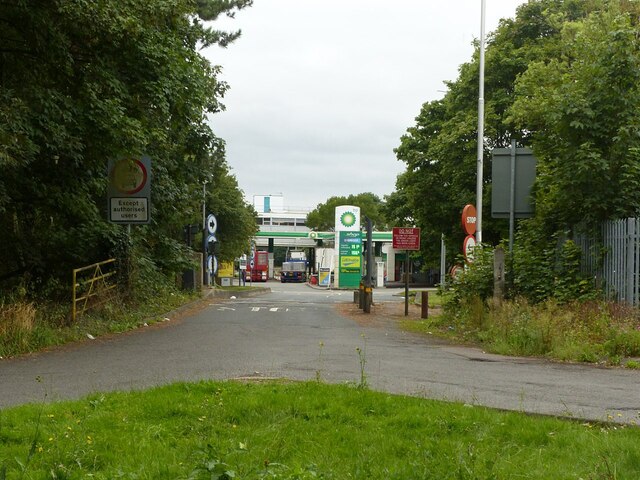
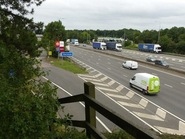
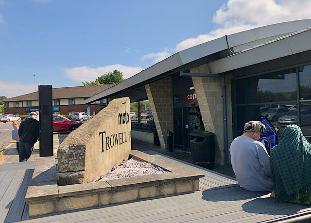
Trowell MSA
Trowell services is a motorway service station off the M1 motorway in Trowell, Nottinghamshire, England, situated north of Junction 25. Opened in 1967...

Bilborough
Bilborough is a suburb of the city of Nottingham, in the Nottingham district, in the ceremonial county of Nottinghamshire, England. The population of the...
Nuthall Temple
Nuthall Temple in Nottinghamshire, one of England's lost houses, was one of five houses built in the United Kingdom generally said to have been inspired...
Nearby Amenities
Located within 500m of 52.967239,-1.2494668Have you been to Catstone Hill?
Leave your review of Catstone Hill below (or comments, questions and feedback).