Shaw's Plantation

Wood, Forest in Nottinghamshire Broxtowe

England

Shaw's Plantation

Partly harvested field Near the former Swancar Farm.
Partly harvested field Credit: Alan Murray-Rust

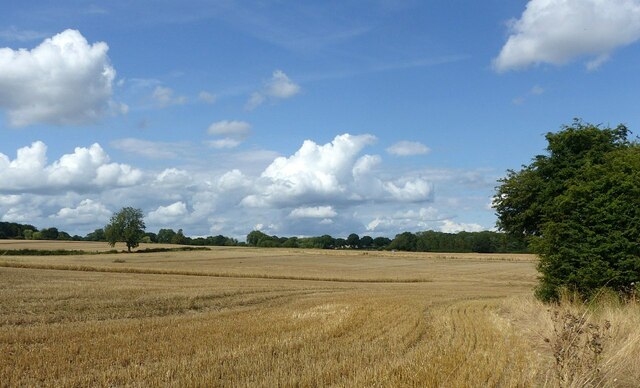
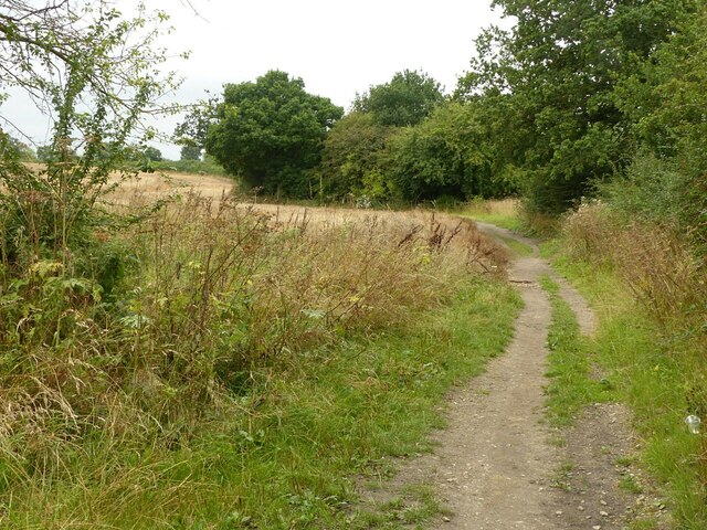
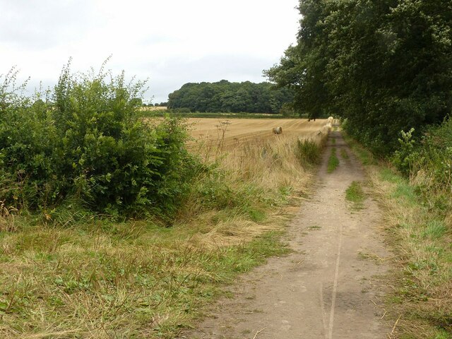
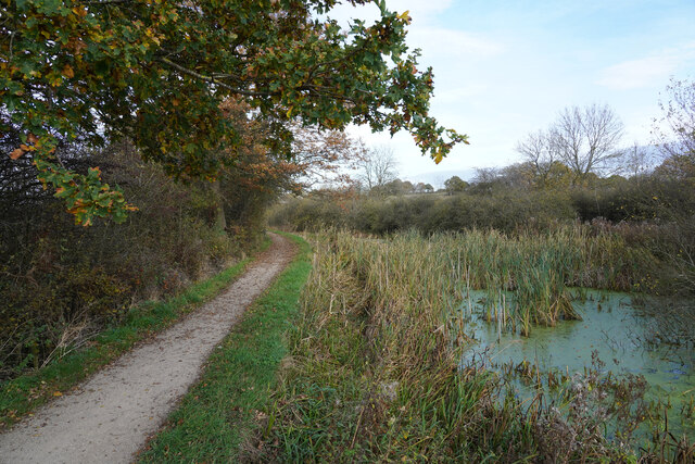
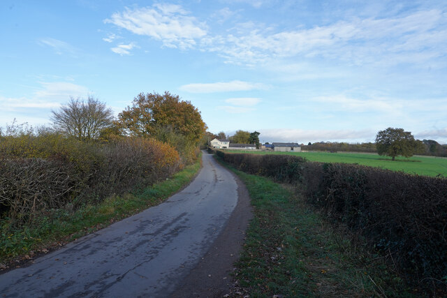
Shaw's Plantation is a picturesque woodland located in Nottinghamshire, England. Situated in the heart of the county, this plantation is known for its abundant natural beauty and serene atmosphere. Spanning over a vast area, Shaw's Plantation is nestled within the enchanting Sherwood Forest, adding to its allure and historical significance.

The woodland is primarily composed of a diverse range of tree species, including oak, beech, and birch, among others. These trees create a dense canopy, providing shade and shelter to a variety of flora and fauna that call the plantation their home. The forest floor is covered in a carpet of lush green moss and wildflowers, adding a splash of color to the rich tapestry of the woodland.

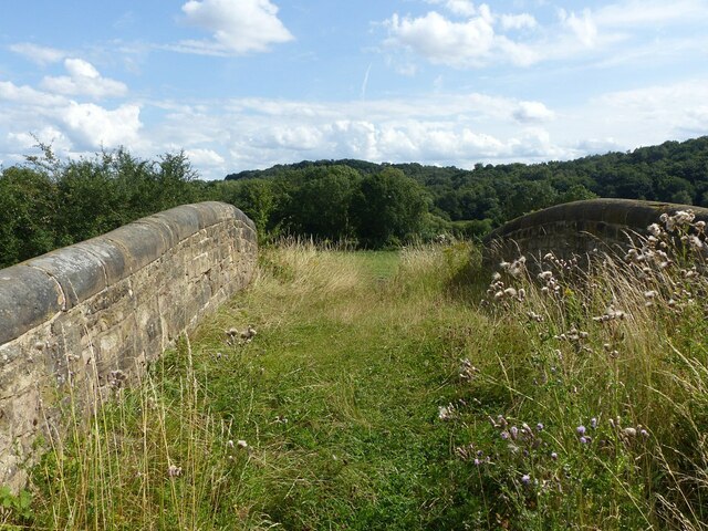
Shaw's Plantation offers numerous recreational activities for nature enthusiasts and visitors alike. There are well-maintained trails that wind through the plantation, allowing visitors to explore the woods and enjoy the tranquil surroundings. The plantation is also home to a variety of wildlife, including deer, squirrels, and a plethora of bird species, making it a popular destination for birdwatchers and wildlife photographers.

Moreover, Shaw's Plantation has a rich historical significance. It is believed to have been a part of the ancient Sherwood Forest, which is steeped in folklore and legends. The plantation is associated with the tales of Robin Hood and his band of merry men, adding an air of mystique and charm to the woodland.

Overall, Shaw's Plantation is a captivating destination that offers a perfect blend of natural beauty, recreational activities, and historical significance, making it a must-visit location for nature lovers and history enthusiasts alike.

If you have any feedback on the listing, please let us know in the comments section below.

Shaw's Plantation Images

Images are sourced within 2km of 52.964794/-1.2522486 or Grid Reference SK5041. Thanks to Geograph Open Source API. All images are credited.

Partly harvested field Near the former Swancar Farm.
Partly harvested field
Near the former Swancar Farm.
Swancar Bridge over the Nottingham Canal -1 An original bridge from the creation of the Nottingham Canal, c.1795, Listed Grade II. Originally providing field access, it is now bypassed by a track through the former canal bed alongside.
Swancar Bridge over the Nottingham Canal -1
An original bridge from the creation of the Nottingham Canal, c.1795, Listed Grade II. Originally providing field access, it is now bypassed by a track through the former canal bed alongside.
Swancar Bridge over the Nottingham Canal -2 An original bridge from the creation of the Nottingham Canal, c.1795, Listed Grade II. Originally providing field access, it is now bypassed by a track through the former canal bed alongside. The former canal towpath has been developed as part of the Erewash Valley Trail and also National Cycle Route 6.
Swancar Bridge over the Nottingham Canal -2
An original bridge from the creation of the Nottingham Canal, c.1795, Listed Grade II. Originally providing field access, it is now bypassed by a track through the former canal bed alongside. The former canal towpath has been developed as part of the Erewash Valley Trail and also National Cycle Route 6.
Swancar Bridge over the Nottingham Canal -3 An original bridge from the creation of the Nottingham Canal, c.1795, Listed Grade II. Originally providing field access, it is now bypassed by a track through the former canal bed alongside. The former canal towpath has been developed as part of the Erewash Valley Trail and also National Cycle Route 6.
Swancar Bridge over the Nottingham Canal -3
An original bridge from the creation of the Nottingham Canal, c.1795, Listed Grade II. Originally providing field access, it is now bypassed by a track through the former canal bed alongside. The former canal towpath has been developed as part of the Erewash Valley Trail and also National Cycle Route 6.
Welcome to Trowell Village entrance sign. The Festival of Britain logo records the fact that Trowell was chosen as the Festival Village in 1951.
Welcome to Trowell
Village entrance sign. The Festival of Britain logo records the fact that Trowell was chosen as the Festival Village in 1951.
Service entry to Trowell services (southbound) The red sign implies an operating barrier, but there is none in evidence.
Service entry to Trowell services (southbound)
The red sign implies an operating barrier, but there is none in evidence.
Trowell Services Recreating this 'First' for the square <a title="https://www.geograph.org.uk/photo/56063" href="https://www.geograph.org.uk/photo/56063">Link</a>
Trowell Services
Recreating this 'First' for the square Link
Insects on Corn Sow-thistle (Sonchus arvensis) A small bumblebee (Probably Small Carder Bee - Bombus pascuorum), hoverflies and others.
Insects on Corn Sow-thistle (Sonchus arvensis)
A small bumblebee (Probably Small Carder Bee - Bombus pascuorum), hoverflies and others.
Bridleway near Trowell Forming part of the Robin Hood Way and clearly well used.
Bridleway near Trowell
Forming part of the Robin Hood Way and clearly well used.
Bridleway on Trowell Moor Forming part of the Robin Hood Way and clearly well used. From this point it also forms field access.
Bridleway on Trowell Moor
Forming part of the Robin Hood Way and clearly well used. From this point it also forms field access.
Just one bale Why this one should have been left behind when all the others have been collected up is a mystery.
Just one bale
Why this one should have been left behind when all the others have been collected up is a mystery.
Cossall Road Cossall Road connects Trowell to Cossall and starts as a very straight road but soon becomes very twisty.
Cossall Road
Cossall Road connects Trowell to Cossall and starts as a very straight road but soon becomes very twisty.
The Erewash Valley Trail The canal to the right which is almost completely overgrown is what remains of the Nottingham Canal.
The Erewash Valley Trail
The canal to the right which is almost completely overgrown is what remains of the Nottingham Canal.
Robinettes Lane Robinettes Lane is a cul-de-sac lane leading to a farm.
Robinettes Lane
Robinettes Lane is a cul-de-sac lane leading to a farm.
Nottingham Road Looking back towards Nottingham along the A609 from a layby, which was about the only place to stop along this busy road.
Nottingham Road
Looking back towards Nottingham along the A609 from a layby, which was about the only place to stop along this busy road.
The Nottingham Canal between Trowell and Cossall This section has water but is clearly not navigable. Full restoration of the canal is not feasible. <span class="nowrap"><a title="https://en.wikipedia.org/wiki/Nottingham_Canal" rel="nofollow ugc noopener" href="https://en.wikipedia.org/wiki/Nottingham_Canal">Link</a><img style="margin-left:2px;" alt="External link" title="External link - shift click to open in new window" src="https://s1.geograph.org.uk/img/external.png" width="10" height="10"/></span>
The Nottingham Canal between Trowell and Cossall
This section has water but is clearly not navigable. Full restoration of the canal is not feasible. LinkExternal link
Footbridge over the Nottingham Canal This section of the abandoned canal is kept filled with water as a nature reserve <span class="nowrap"><a title="https://en.wikipedia.org/wiki/Nottingham_Canal" rel="nofollow ugc noopener" href="https://en.wikipedia.org/wiki/Nottingham_Canal">Link</a><img style="margin-left:2px;" alt="External link" title="External link - shift click to open in new window" src="https://s1.geograph.org.uk/img/external.png" width="10" height="10"/></span>
Footbridge over the Nottingham Canal
This section of the abandoned canal is kept filled with water as a nature reserve LinkExternal link
Junction of the Main Line of the Nottingham Canal with the Robbinetts Arm The canal here is maintained as a nature reserve <span class="nowrap"><a title="https://en.wikipedia.org/wiki/Nottingham_Canal" rel="nofollow ugc noopener" href="https://en.wikipedia.org/wiki/Nottingham_Canal">Link</a><img style="margin-left:2px;" alt="External link" title="External link - shift click to open in new window" src="https://s1.geograph.org.uk/img/external.png" width="10" height="10"/></span>
Junction of the Main Line of the Nottingham Canal with the Robbinetts Arm
The canal here is maintained as a nature reserve LinkExternal link
Show me another place!

Shaw's Plantation is located at Grid Ref: SK5041 (Lat: 52.964794, Lng: -1.2522486)

Administrative County: Nottinghamshire

District: Broxtowe

Police Authority: Nottinghamshire

What 3 Words

///snap.bared.towns. Near Kimberley, Nottinghamshire

Related Wikis

Strelley Village

Strelley is a village and civil parish in the Borough of Broxtowe and City of Nottingham in Nottinghamshire, England. It is to the west of Nottingham....
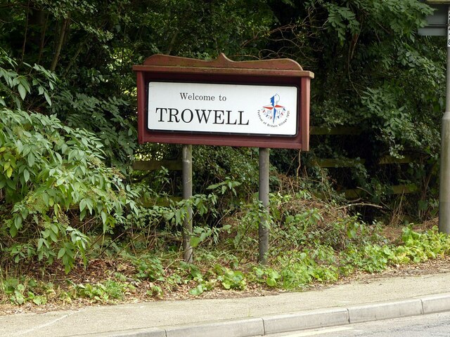
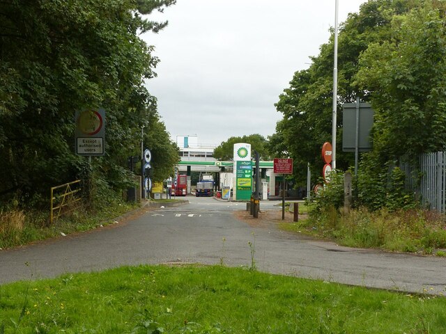
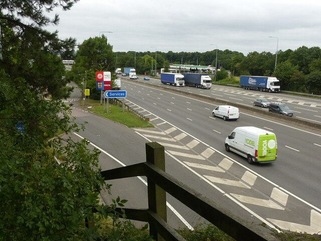
Trowell MSA

Trowell services is a motorway service station off the M1 motorway in Trowell, Nottinghamshire, England, situated north of Junction 25. Opened in 1967...

Oldmoor Wood

Oldmoor Wood is a woodland in Nottinghamshire, England, near the village of Strelley. It covers a total area of 15.11 hectares (37.34 acres). It is owned...

All Saints' Church, Strelley

All Saints' Church, Strelley is a Grade I listed parish church in the Church of England in Strelley, Nottinghamshire. == History == The church dates from...

Nottingham University Samworth Academy

Nottingham University Samworth Academy (formerly William Sharp School) is a coeducational secondary school and sixth form with academy status, located...

Bilborough College

Bilborough Sixth Form College is a sixth-form college in Nottingham, England. The college has students from across the conurbation. A third of its students...

Nuthall Temple

Nuthall Temple in Nottinghamshire, one of England's lost houses, was one of five houses built in the United Kingdom generally said to have been inspired...

Bilborough

Bilborough is a suburb of the city of Nottingham, in the Nottingham district, in the ceremonial county of Nottinghamshire, England. The population of the...

Nearby Amenities

Located within 500m of 52.964794,-1.2522486
Power: pole
Source: Yahoo
Lat/Long: 52.9604527/-1.2521423
Power: pole
Source: Yahoo
Lat/Long: 52.9608907/-1.253644
Power: pole
Source: Yahoo
Lat/Long: 52.9661108/-1.2485839
Power: pole
Source: Yahoo
Lat/Long: 52.9633902/-1.2502898
Power: pole
Source: Yahoo
Lat/Long: 52.96266/-1.2507834
Power: pole
Source: Yahoo
Lat/Long: 52.961361/-1.2516524
Power: pole
Source: Yahoo
Lat/Long: 52.9607213/-1.2497641
Power: pole
Source: Yahoo
Lat/Long: 52.9657231/-1.2453331
Power: pole
Source: Yahoo
Lat/Long: 52.9612891/-1.2549862
Power: pole
Source: Yahoo
Lat/Long: 52.9617036/-1.2564145
Spring Farm Shop
Addr City: Nottingham
Addr Postcode: NG9 3PQ
Addr Street: Nottingham Road
Addr Suburb: Trowell Moor
Fhrs Id: 566852
Fixme: Position is approximate
Shop: farm
Source Addr: website
Website: http://springfarmshop.co.uk/
Lat/Long: 52.9617355/-1.2497245
Fixme: Gate or stile here?
Lat/Long: 52.9603313/-1.2518315
Bench
Lat/Long: 52.9603785/-1.2518444
The data included in this document is from www.openstreetmap.org. The data is made available under ODbL.

Have you been to Shaw's Plantation?

Leave your review of Shaw's Plantation below (or comments, questions and feedback).