Horsham Copse

Wood, Forest in Hampshire Winchester

England

Horsham Copse

St. Andrew's Church, Owslebury
St. Andrew's Church, Owslebury Credit: David Martin

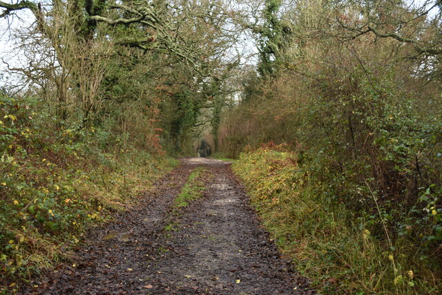
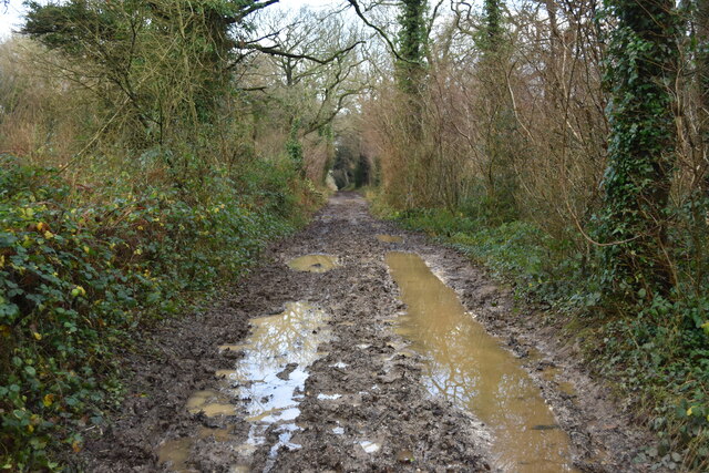
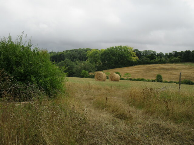
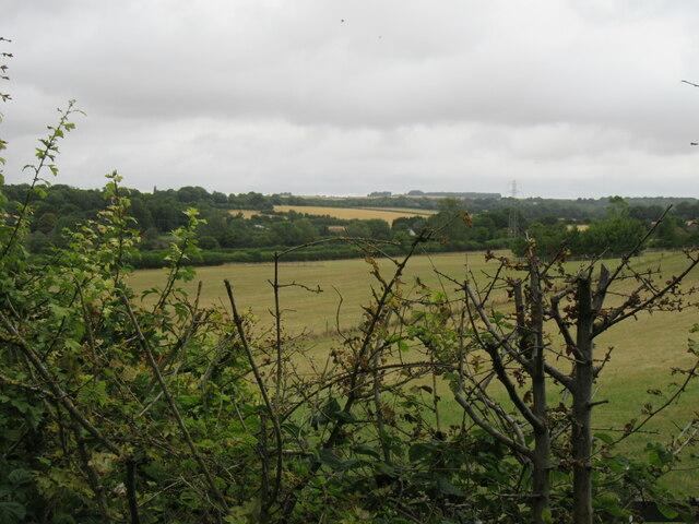
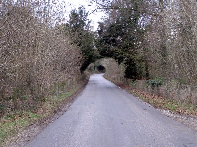
Horsham Copse is a picturesque woodland located in the county of Hampshire, England. With an area of approximately 30 acres, this enchanting forest offers a tranquil escape for nature enthusiasts and those seeking solace in the great outdoors.

The copse is characterized by a diverse range of trees, including oak, beech, and birch, which create a dense canopy, providing shade and shelter for various wildlife species. The forest floor is covered in a vibrant carpet of wildflowers, adding a splash of color to the landscape during spring and summer.

Tranquil and serene, Horsham Copse provides a haven for a variety of bird species, making it an ideal spot for birdwatching enthusiasts. Visitors may have the opportunity to spot woodpeckers, owls, and various songbirds during their exploration of the copse.

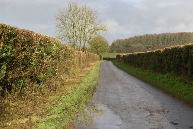
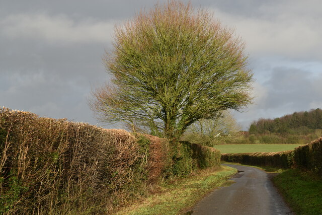
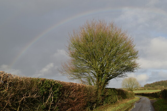
A network of well-maintained walking paths meanders through the woodland, allowing visitors to explore its beauty at their own pace. These paths take visitors on a journey through ancient trees, moss-covered rocks, and bubbling streams, enhancing the sense of adventure and discovery.

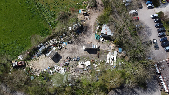
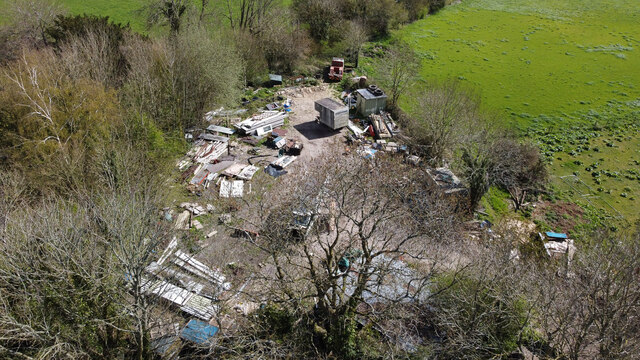
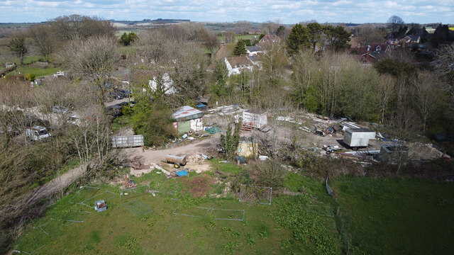
Horsham Copse also holds historical significance, as it was once used for timber production during the First World War. Remnants of old sawpits and charcoal hearths can still be found within the copse, adding an element of intrigue and reminding visitors of its past.

Whether it is a leisurely stroll, a peaceful picnic, or a chance to immerse oneself in the beauty of nature, Horsham Copse offers an idyllic setting for visitors to connect with the natural world and find respite from the hustle and bustle of everyday life.

If you have any feedback on the listing, please let us know in the comments section below.

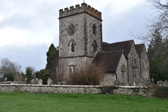
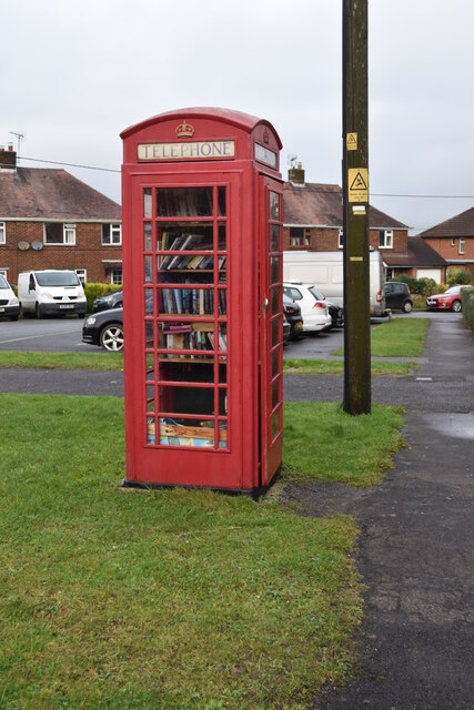
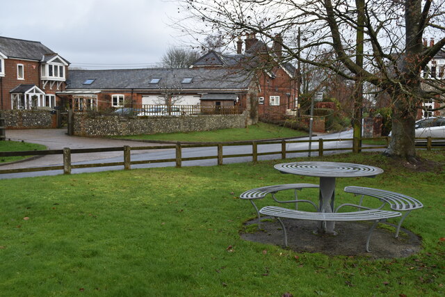
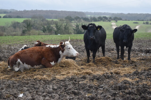
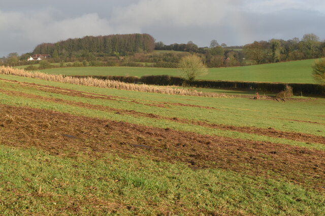
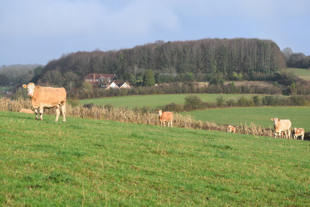
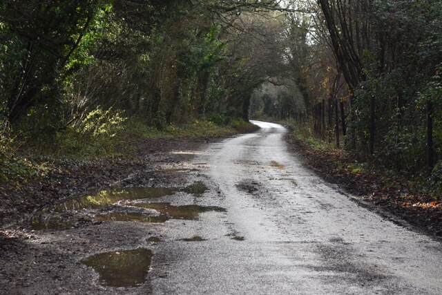
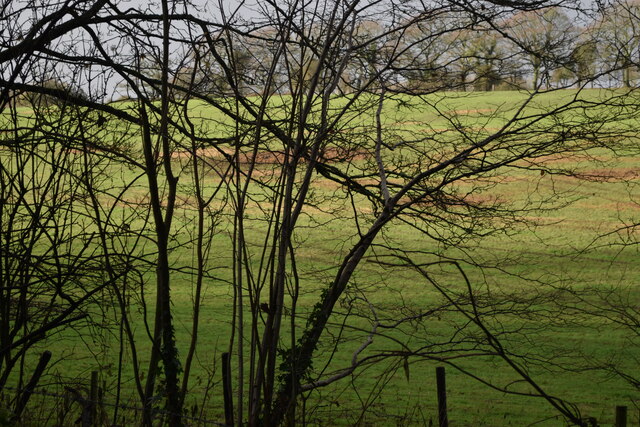
Horsham Copse Images

Images are sourced within 2km of 50.995545/-1.2843971 or Grid Reference SU5022. Thanks to Geograph Open Source API. All images are credited.

St. Andrew's Church, Owslebury
Former telephone kiosk in Beech Grove Now a book exchange.
Former telephone kiosk in Beech Grove
Now a book exchange.
Metal seat and table at Owslebury
Cows beside the path at Owslebury
Sloping fields above Lower Baybridge Lane A close look reveals the end of a rainbow towards the right hand side.
Sloping fields above Lower Baybridge Lane
A close look reveals the end of a rainbow towards the right hand side.
Cows in field above Lower Baybridge Lane
Lower Baybridge Lane
Sunlit field seen through bushes beside Lower Baybridge Lane
Red Lane
Red Lane
Lower Baybridge Lane
Tree beside Lower Baybridge Lane
Rainbow and tree, Lower Baybridge Lane
A very muddy Red Lane
Agricultural contractor's yard Aerial. This 0.47 acre agricultural contractor's yard was offered for sale in 2022 at an asking price of £100,000 and apparently sold above that. There was some possibility that planning permission for housing might be granted. The car park at right is part of the unrelated Ship Inn.
Agricultural contractor's yard
Aerial. This 0.47 acre agricultural contractor's yard was offered for sale in 2022 at an asking price of £100,000 and apparently sold above that. There was some possibility that planning permission for housing might be granted. The car park at right is part of the unrelated Ship Inn.
Agricultural contractor's yard Aerial. This 0.47 acre agricultural contractor's yard was offered for sale in 2022 at an asking price of £100,000 and apparently sold above that. There was some possibility that planning permission for housing might be granted.
Agricultural contractor's yard
Aerial. This 0.47 acre agricultural contractor's yard was offered for sale in 2022 at an asking price of £100,000 and apparently sold above that. There was some possibility that planning permission for housing might be granted.
Agricultural contractor's yard Aerial. This 0.47 acre agricultural contractor's yard was offered for sale in 2022 at an asking price of £100,000 and apparently sold above that. There was some possibility that planning permission for housing might be granted. The fields in foreground were available as separate lots at an asking price of £150,000 for a 2.38 acre lot.
Agricultural contractor's yard
Aerial. This 0.47 acre agricultural contractor's yard was offered for sale in 2022 at an asking price of £100,000 and apparently sold above that. There was some possibility that planning permission for housing might be granted. The fields in foreground were available as separate lots at an asking price of £150,000 for a 2.38 acre lot.
Near Marwell Zoo Looking east near Owslebury.
Near Marwell Zoo
Looking east near Owslebury.
Near Owslebury Looking NE from the Monarch's Way.
Near Owslebury
Looking NE from the Monarch's Way.
Show me another place!

Horsham Copse is located at Grid Ref: SU5022 (Lat: 50.995545, Lng: -1.2843971)

Administrative County: Hampshire

District: Winchester

Police Authority: Hampshire

What 3 Words

///walking.gripes.glorified. Near Colden Common, Hampshire

Related Wikis

Marwell College

Marwell College was a college of secular priests in Marwell Park, Owslebury, Hampshire, England. Marwell was sometimes spelled Merwell or Merewell. The...

Marwell Zoo

Marwell Zoo is a 140-acre (57 ha) zoo situated in Colden Common near Winchester, in the English county of Hampshire. It is owned and run by the registered...

Owslebury

Owslebury is a village and civil parish in the county of Hampshire, in the south of England approximately 5 miles (8.0 km) southeast of Winchester. It...

Colden Common

Colden Common is a civil parish in the Winchester District of Hampshire, England, approximately 5 miles south of the city of Winchester, covering an area...

Owslebury Bottom

Owslebury Bottom is a hamlet in the civil parish of Owslebury in the City of Winchester district of Hampshire, England. Its nearest town is Winchester...

Baybridge, Hampshire

Baybridge is a small village in Hampshire, in England. It is situated to the east of Owslebury, south of Winchester. == References == == External links... ==

Twyford Moors

Twyford Moors is a hamlet in the civil parish of Colden Common in the City of Winchester district of Hampshire, England. It is 1+1⁄4 miles (2.0 km) south...
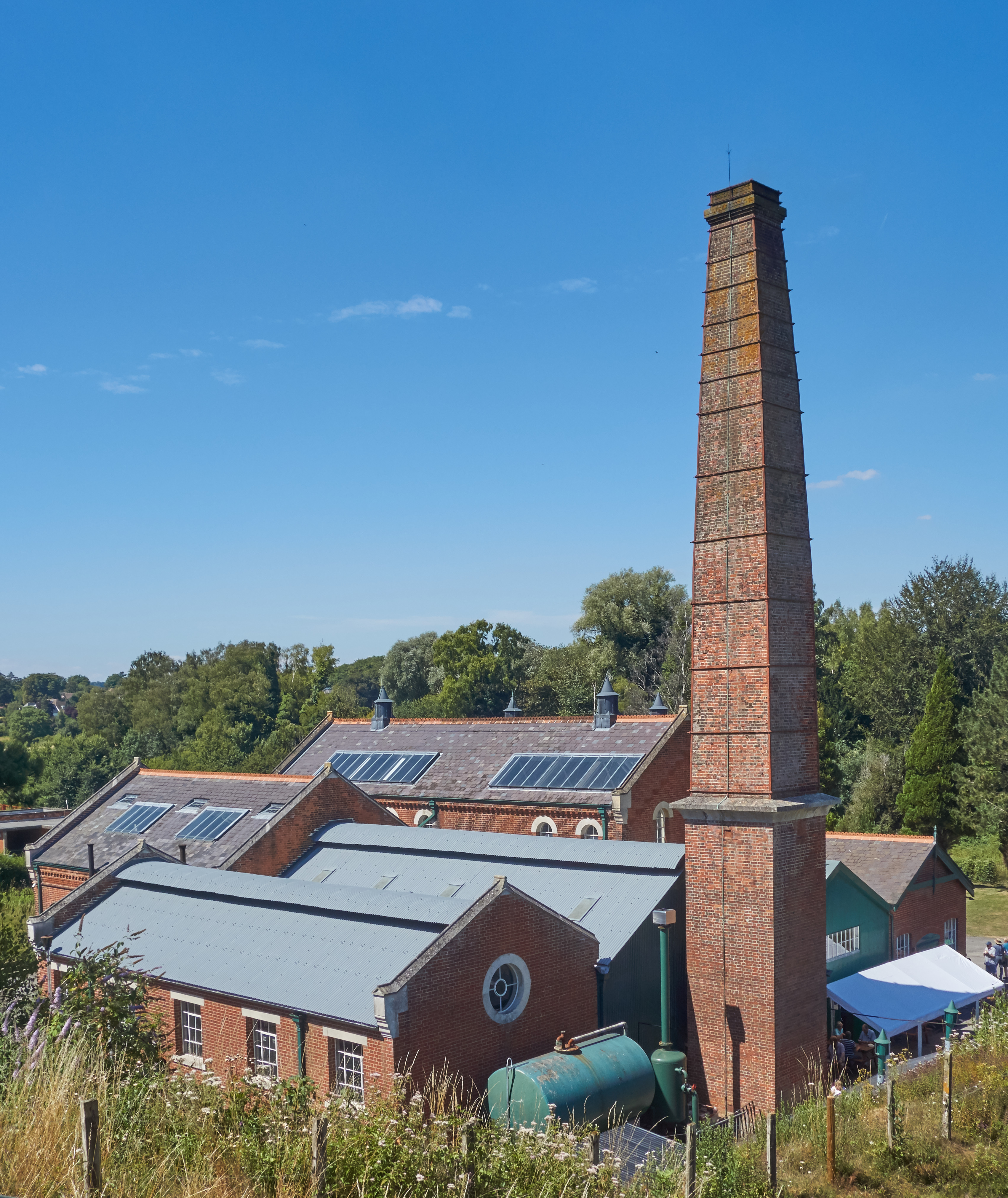
Twyford Waterworks

Twyford Waterworks is a preserved pumping station and waterworks situated close to the village of Twyford and the city of Winchester in Hampshire, England...

Nearby Amenities

Located within 500m of 50.995545,-1.2843971
Addr City: Winchester
Lat/Long: 50.9972636/-1.2812529
Addr City: Winchester
Lat/Long: 50.9967847/-1.2820892
Addr City: Winchester
Lat/Long: 50.9964604/-1.2821125
Addr City: Winchester
Lat/Long: 50.9959847/-1.2827506
Addr City: Winchester
Lat/Long: 50.9954359/-1.283632
Addr City: Winchester
Lat/Long: 50.9952706/-1.2835478
Addr City: Winchester
Lat/Long: 50.9945928/-1.2839464
Addr City: Winchester
Lat/Long: 50.9942163/-1.2845123
Addr City: Winchester
Lat/Long: 50.9940244/-1.2848728
Addr City: Winchester
Lat/Long: 50.9937835/-1.2852387
Addr City: Winchester
Lat/Long: 50.9935925/-1.2853604
Addr City: Winchester
Lat/Long: 50.9933871/-1.2852628
Addr City: Winchester
Lat/Long: 50.9929232/-1.2849348
Addr City: Winchester
Lat/Long: 50.9929802/-1.282616
Addr City: Winchester
Lat/Long: 50.9937014/-1.2826997
Penguin Station
Internet Access: no
Network: Marwell Railway
Operator: Marwell Railway
Public Transport: station
Railway: station
Usage: tourism
Lat/Long: 50.9912669/-1.2825222
Cafe
Lat/Long: 50.9916427/-1.2835796
Toilets
Check Date: 2022-04-23
Lat/Long: 50.9916038/-1.2836723
Addr City: Winchester
Lat/Long: 50.9957335/-1.2789598
Addr City: Winchester
Lat/Long: 50.9965181/-1.2801595
Addr City: Winchester
Lat/Long: 50.9957578/-1.279335
Addr City: Winchester
Lat/Long: 50.9911089/-1.2835732
Addr City: Winchester
Lat/Long: 50.9927353/-1.2848345
Barrier: kissing_gate
Lat/Long: 50.9967628/-1.2827368
Addr City: Winchester
Lat/Long: 50.9916902/-1.2841612
Tourism: viewpoint
Lat/Long: 50.99157/-1.2829526
Addr City: Winchester
Lat/Long: 50.991988/-1.2841269
Addr City: Winchester
Lat/Long: 50.993391/-1.2826637
Addr City: Winchester
Lat/Long: 50.9957772/-1.2788647
Waste Basket
Waste: trash
Lat/Long: 50.9947315/-1.2779839
Waste Basket
Waste: trash
Lat/Long: 50.9942518/-1.2784833
Waste Basket
Waste: trash
Lat/Long: 50.9943846/-1.2782922
Drinking Water: yes
Fee: no
Waterway: water_point
Lat/Long: 50.9942987/-1.2782369
Waste Basket
Waste: trash
Lat/Long: 50.9942868/-1.2785898
Waste Basket
Waste: trash
Lat/Long: 50.9942273/-1.2782402
The data included in this document is from www.openstreetmap.org. The data is made available under ODbL.

Have you been to Horsham Copse?

Leave your review of Horsham Copse below (or comments, questions and feedback).