Douglas Ridge
Hill, Mountain in Yorkshire Ryedale
England
Douglas Ridge
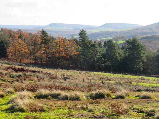
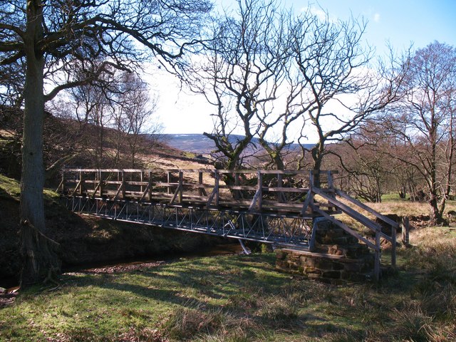
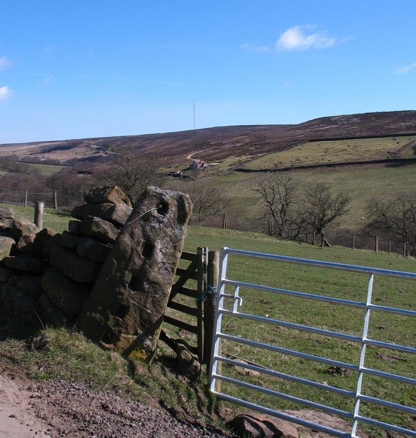
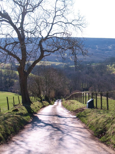
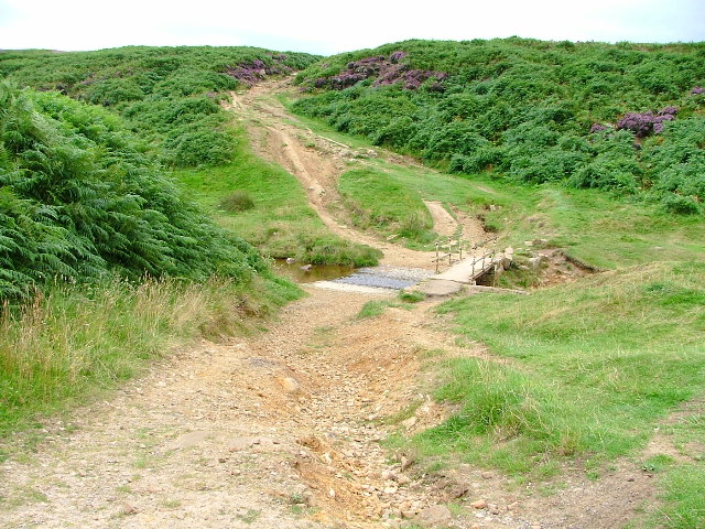
Douglas Ridge is a prominent hill located in the county of Yorkshire, England. Standing at an impressive elevation of 367 meters (1,204 feet), it is considered one of the highest points in the region. The ridge is situated in the picturesque North York Moors National Park, surrounded by an expanse of breathtaking natural beauty.
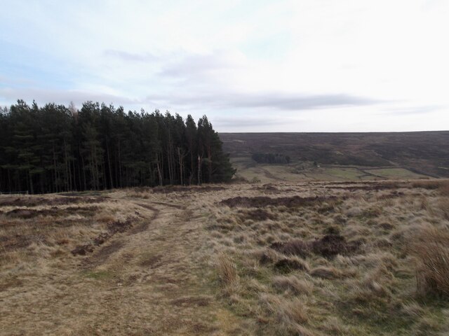
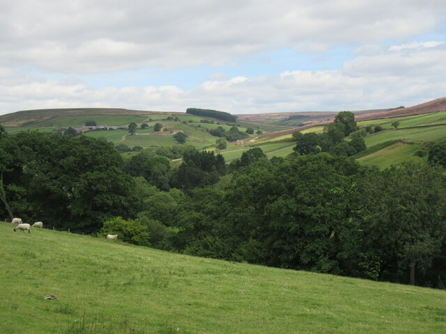
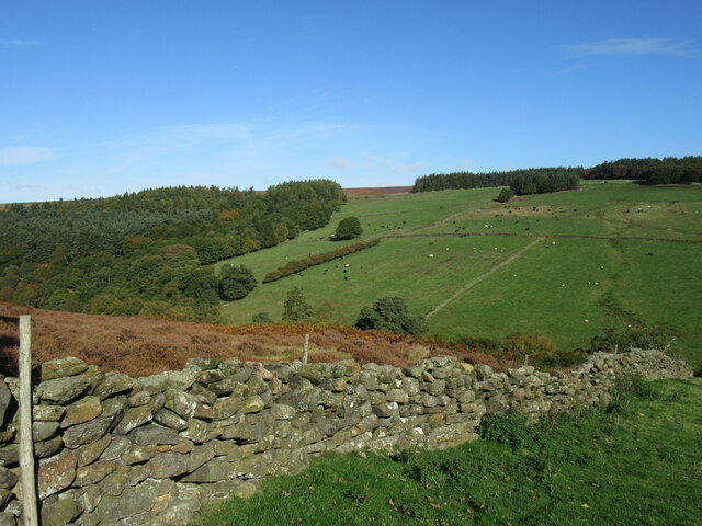
The hill is characterized by its steep slopes and rugged terrain, offering a challenging yet rewarding experience for hikers and mountaineers. Its distinctive shape and prominent position make it a recognizable and iconic landmark in the area. At the summit, visitors are rewarded with sweeping panoramic views of the surrounding countryside, including rolling hills, lush valleys, and charming villages.
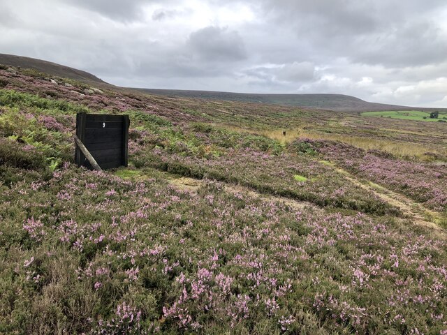
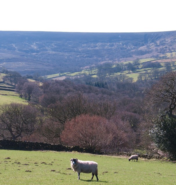
Douglas Ridge is known for its rich biodiversity, with a variety of plant and animal species thriving in its diverse habitats. The hill is covered in heather moorland, providing a haven for rare bird species such as the red grouse and golden plover. It is also home to a range of mammals, including red deer and mountain hares, adding to the area's ecological significance.
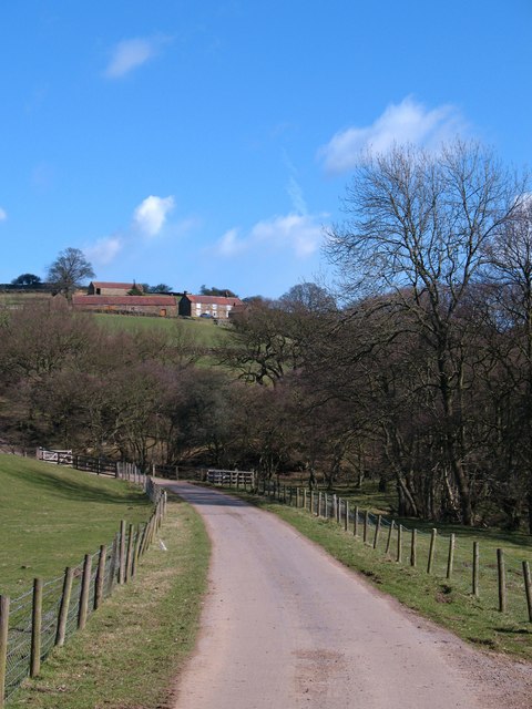
The ridge is easily accessible, with well-marked trails and footpaths leading to its summit. Many outdoor enthusiasts flock to Douglas Ridge to enjoy activities such as hiking, rock climbing, and birdwatching. The hill's close proximity to nearby towns and villages makes it a popular destination for both locals and tourists seeking a day of outdoor adventure and exploration.
If you have any feedback on the listing, please let us know in the comments section below.
Douglas Ridge Images
Images are sourced within 2km of 54.35771/-1.2243718 or Grid Reference SE5096. Thanks to Geograph Open Source API. All images are credited.


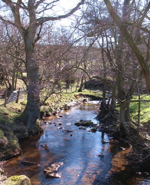
![Arns Gill Beck Small hill stream at the point where it joins the infant River Rye [obscured left].](https://s0.geograph.org.uk/geophotos/02/31/78/2317868_264d47bd.jpg)


Douglas Ridge is located at Grid Ref: SE5096 (Lat: 54.35771, Lng: -1.2243718)
Division: North Riding
Administrative County: North Yorkshire
District: Ryedale
Police Authority: North Yorkshire
What 3 Words
///finger.query.dial. Near Bilsdale, North Yorkshire
Nearby Locations
Related Wikis
Sheepwash, North Yorkshire
Sheepwash is a popular tourist spot in the North York Moors, North Yorkshire, England. It is located on Cod Beck which flows into Cod Beck Reservoir near...
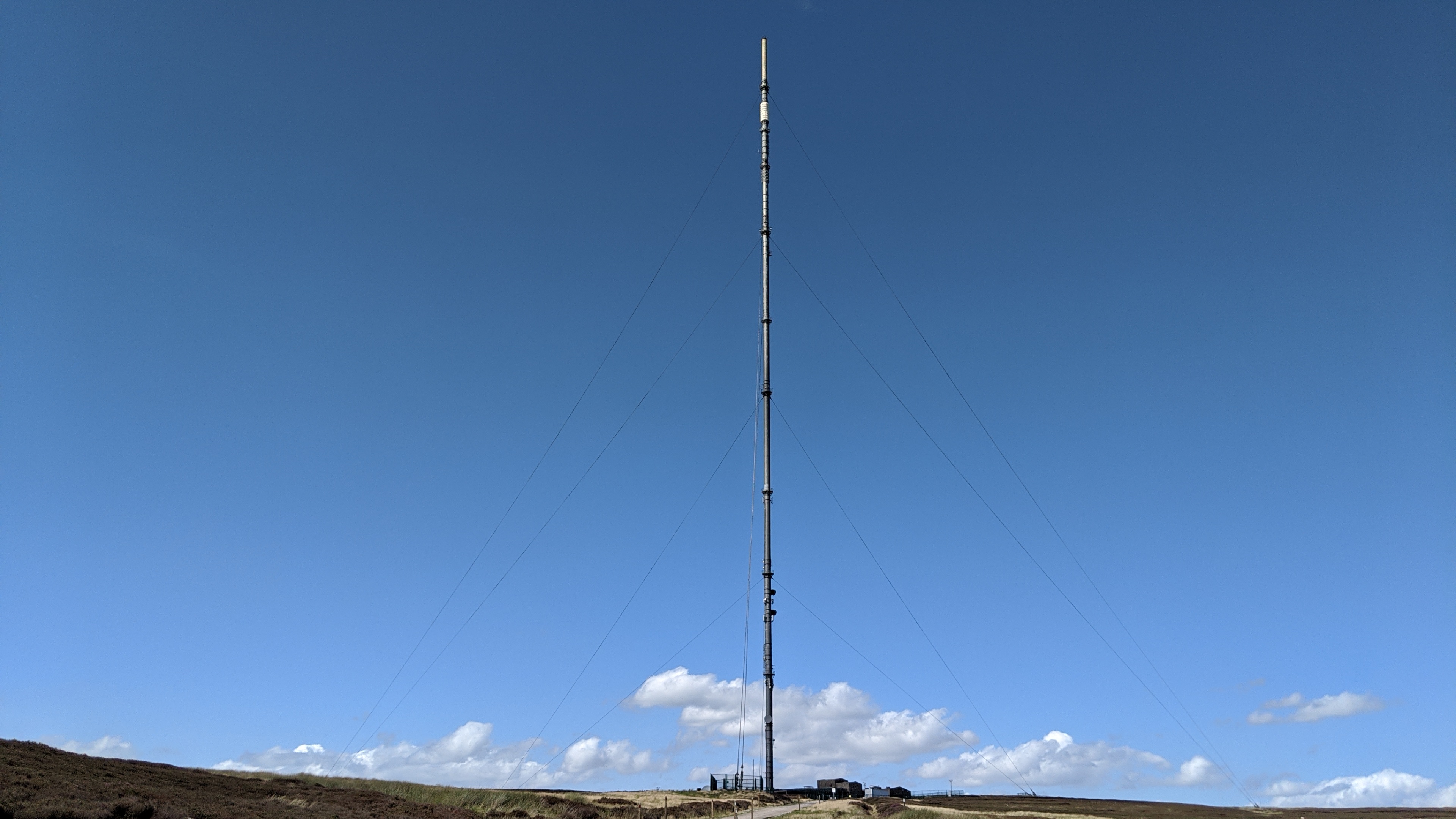
Bilsdale transmitting station
The Bilsdale transmitting station is a broadcasting and telecommunications facility, located at Bilsdale West Moor above Bilsdale, close to Helmsley, North...

Cod Beck Reservoir
Cod Beck Reservoir is a man-made lake situated within the North York Moors National Park and near the village of Osmotherley in the English county of North...
Osmotherley, North Yorkshire
Osmotherley is a village and civil parish in the Hambleton hills in North Yorkshire, six miles north-east of Northallerton. The village is at the western...

Osmotherley Friends Meeting House
Osmotherley Friends Meeting House is a Friends Meeting House of the Religious Society of Friends (Quakers), situated in the village of Osmotherley in North...

Thimbleby, North Yorkshire
Thimbleby is a small village and civil parish in the Hambleton District of North Yorkshire, England, it is in the North Yorks Moors and close to the village...

The Shrine of Our Lady of Mount Grace
The Shrine of Our Lady of Mount Grace is a place of Marian devotion and pilgrimage sited in the North Yorkshire village of Osmotherley. Christians have...

Over Silton Manor
Over Silton Manor is in the middle of the village of Over Silton in North Yorkshire, England. "The village of Over silton, 1994;39" == History == There...
Have you been to Douglas Ridge?
Leave your review of Douglas Ridge below (or comments, questions and feedback).