Windmill Hill

Hill, Mountain in Nottinghamshire Broxtowe

England

Windmill Hill

Robinettes Lane Robinettes Lane is a cul-de-sac lane leading to a farm.
Robinettes Lane Credit: Malcolm Neal

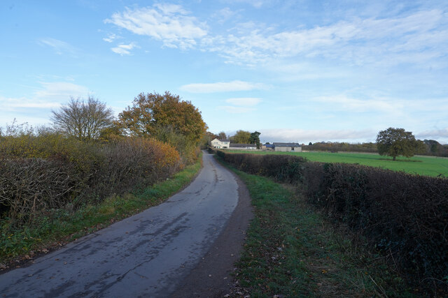
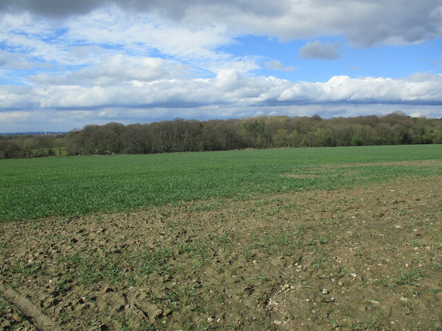
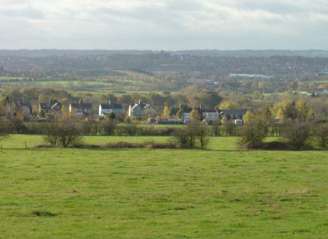
Windmill Hill is a notable landmark located in Nottinghamshire, England. Situated in the northeastern part of the county, it is a prominent hill that offers panoramic views of the surrounding countryside. Rising to an elevation of approximately 200 meters, it is often referred to as Windmill Hill due to the presence of a historic windmill that once stood at its peak.

The hill itself is characterized by its gently sloping sides and a distinct flat top, making it easily recognizable from a distance. The soil composition is primarily clay, which contributes to its stability and vegetation growth. The hill is covered in lush green grass and scattered with small patches of trees, creating a picturesque landscape.

Windmill Hill has a rich historical significance, dating back to the 18th century when the windmill was constructed. This windmill served as a vital source of power for grinding grain and was an essential part of the local agricultural economy. Unfortunately, the windmill was demolished in the early 20th century, leaving behind only remnants of its foundation.

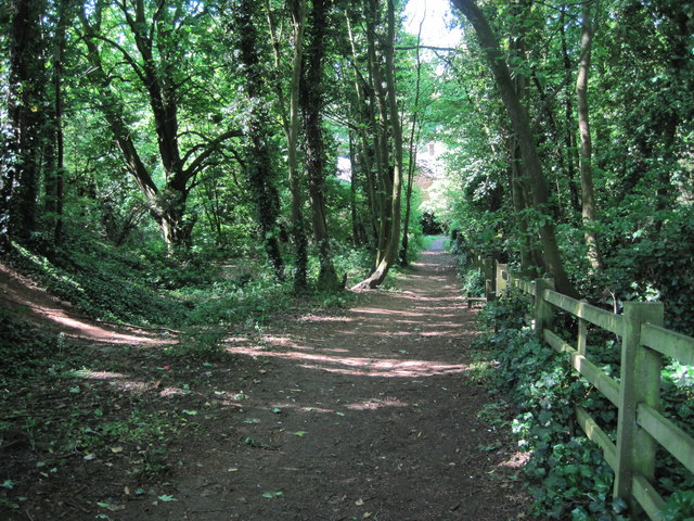
Today, Windmill Hill attracts visitors and locals alike who come to enjoy its stunning views and peaceful surroundings. It is a popular spot for leisurely walks, picnics, and photography. The hill also serves as a vantage point for watching the sunset or observing the natural wildlife that inhabits the area.

Overall, Windmill Hill in Nottinghamshire is a beautiful and historically significant landmark that offers both recreational opportunities and a glimpse into the region's past.

If you have any feedback on the listing, please let us know in the comments section below.

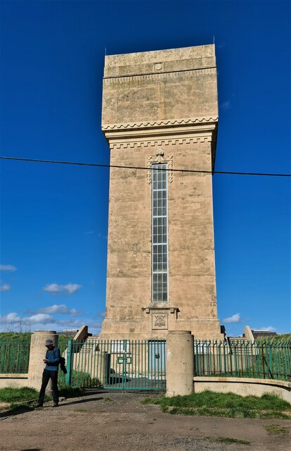
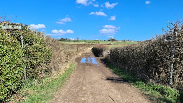
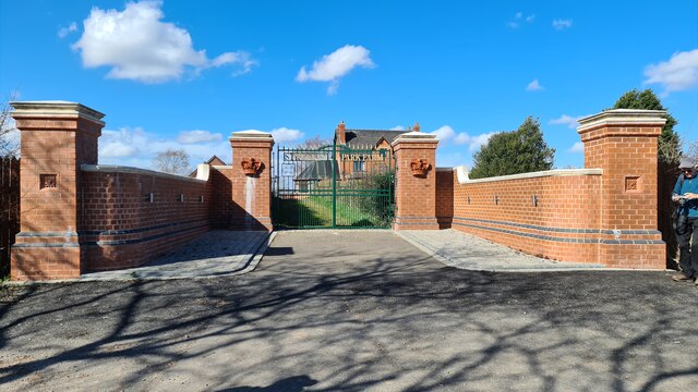
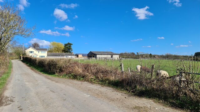
Windmill Hill Images

Images are sourced within 2km of 52.984718/-1.2486129 or Grid Reference SK5043. Thanks to Geograph Open Source API. All images are credited.

Robinettes Lane Robinettes Lane is a cul-de-sac lane leading to a farm.
Robinettes Lane
Robinettes Lane is a cul-de-sac lane leading to a farm.
Robinettes Lane
Robinettes Lane
The Great Northern Railway Path The former Great Northern line between Nottingham and Derby was a casualty of the Beeching era, closing to passengers in 1964 and completely four years later. Here the old trackbed has been converted into a path and cycleway
The Great Northern Railway Path
The former Great Northern line between Nottingham and Derby was a casualty of the Beeching era, closing to passengers in 1964 and completely four years later. Here the old trackbed has been converted into a path and cycleway
St Paul's Court The former St Paul's Methodist Church has been converted to residential use.
St Paul's Court
The former St Paul's Methodist Church has been converted to residential use.
Winter tree on the skyline In a field boundary above Swingate Farm.
Winter tree on the skyline
In a field boundary above Swingate Farm.
Bridleway near Turkey Fields Farm
Swingate Water Tower Opened in 1950 but no longer operational, the tower on Babbington Lane is visible for miles.
Swingate Water Tower
Opened in 1950 but no longer operational, the tower on Babbington Lane is visible for miles.
Former St Paul's Methodist Church, Kimberley
Swingate Water Tower Brought into use in 1950 but no longer operational
Swingate Water Tower
Brought into use in 1950 but no longer operational
Lane by Strelley Park Farm
Gates to Strelley Park Farm
Robinettes Lane
Robinettes Lane
Autumn sown crop and Oldmoor Wood
Access to Strelley Park Farm Access to the farm.
Access to Strelley Park Farm
Access to the farm.
Footpath near Strelley Park Farm Public footpath adopting the wide track to Swingate Farm.
Footpath near Strelley Park Farm
Public footpath adopting the wide track to Swingate Farm.
Track near Spring Wood Following this well maintained track between Strelley and Awsworth, in the countryside to the west of Nottingham.
Track near Spring Wood
Following this well maintained track between Strelley and Awsworth, in the countryside to the west of Nottingham.
Footpath crossing fields towards Awsworth Path leading passed a pile of manure in the direction of Grange Farm - however it strikes north before reaching this objective.
Footpath crossing fields towards Awsworth
Path leading passed a pile of manure in the direction of Grange Farm - however it strikes north before reaching this objective.
Woodland Footpath, Kimberley A short footpath (Johnny's Hill) through woodland linking Oak Lodge Drive (Hardy Street) with the playground and park on Eastwood Road.
Woodland Footpath, Kimberley
A short footpath (Johnny's Hill) through woodland linking Oak Lodge Drive (Hardy Street) with the playground and park on Eastwood Road.
Show me another place!

Windmill Hill is located at Grid Ref: SK5043 (Lat: 52.984718, Lng: -1.2486129)

Administrative County: Nottinghamshire

District: Broxtowe

Police Authority: Nottinghamshire

What 3 Words

///handy.pint.turned. Near Kimberley, Nottinghamshire

Related Wikis

Swingate, Nottinghamshire

Swingate is a small English village positioned between of Kimberley and Babbington, in the Broxtowe district, in the county of Nottinghamshire. == History... ==

All Saints' Church, Strelley

All Saints' Church, Strelley is a Grade I listed parish church in the Church of England in Strelley, Nottinghamshire. == History == The church dates from...

Kimberley Town F.C.

Kimberley Town Football Club was a football club based in Kimberley, Nottinghamshire, England. They joined the Midland League in 1971. They reached the...

Kimberley Miners Welfare F.C.

Kimberley Miners Welfare Football Club is a football club based in Kimberley, Nottinghamshire, England. They are currently members of the United Counties...

Babbington

Babbington is a hamlet in Nottinghamshire, England. It is located 2 miles south of Kimberley, close to the M1 motorway. It is part of Kimberley civil parish...

Kimberley, Nottinghamshire

Kimberley is a town and civil parish in the Borough of Broxtowe in Nottinghamshire, England, lying 6 miles northwest of Nottingham along the A610. The...

Strelley Village

Strelley is a village and civil parish in the Borough of Broxtowe and City of Nottingham in Nottinghamshire, England. It is to the west of Nottingham....

Nuthall

Nuthall is a village and civil parish located in Nottinghamshire, England, neighbouring Kimberley, Watnall, Cinderhill and Basford. The population of the...

Related Videos

Nearby Amenities

Located within 500m of 52.984718,-1.2486129
Motorway Junction
Nuthall Interchange
Destination: Ripley;Nottingham
Destination Ref: A610
Name Signed: no
Ref: 26
Lat/Long: 52.9848548/-1.2412558
STRELLEY1
Disused: yes
Historic Man Made: petroleum_well
Ref GB Decc: LN/04-2
Source: DECC
Lat/Long: 52.98125/-1.2475278
Boundary Marker: metal
Historic: boundary_marker
Inscription: 1933 City of Nottingham Boundary
Man Made: boundary_marker
Source: survey
Lat/Long: 52.9852163/-1.2454619
Barrier: stile
Lat/Long: 52.9854156/-1.2456545
Nottingham Transmitter
Communication Radio: yes
Communication Television: yes
Height: 45.7
Man Made: tower
Operator: Arqiva
Ref: 111.01
Source: survey;Bing
Tower Construction: lattice
Tower Type: communication
Lat/Long: 52.9868116/-1.2512817
Barrier: stile
Lat/Long: 52.9875945/-1.2481259
Power: pole
Source: Bing
Lat/Long: 52.9866742/-1.2544773
Power: pole
Source: Bing
Lat/Long: 52.9872045/-1.2547155
Power: pole
Source: Bing
Lat/Long: 52.9858934/-1.2542166
Power: pole
Source: Bing
Lat/Long: 52.9862447/-1.2531657
Power: pole
Source: Bing
Lat/Long: 52.9866322/-1.2520526
Power: pole
Source: Bing
Lat/Long: 52.9864844/-1.2517517
The data included in this document is from www.openstreetmap.org. The data is made available under ODbL.

Have you been to Windmill Hill?

Leave your review of Windmill Hill below (or comments, questions and feedback).