Oak Hill

Hill, Mountain in Yorkshire Hambleton

England

Oak Hill

The road to nowhere A dead end road which serves Seamer Moor Farm and a few other houses along the way.
The road to nowhere Credit: Gordon Hatton

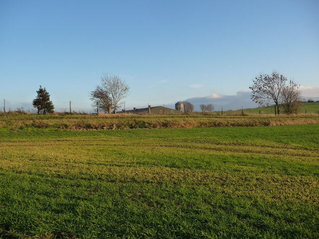
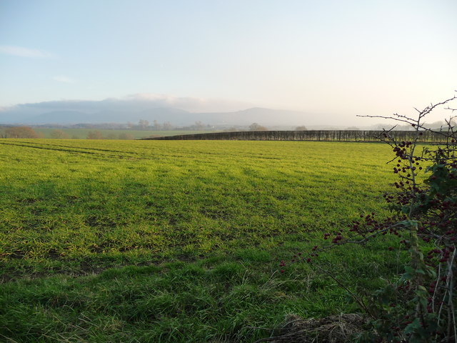
Oak Hill is a prominent hill located in the picturesque region of Yorkshire, England. Situated in the county of North Yorkshire, Oak Hill is part of the stunning landscape of the Yorkshire Dales National Park. It stands at an elevation of approximately 470 meters (1,540 feet) above sea level, making it one of the highest points in the area.

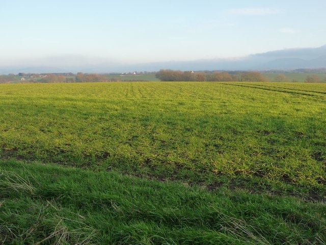
The hill gets its name from the abundance of oak trees that grow on its slopes, adding to the natural beauty of the surroundings. Oak Hill offers breathtaking panoramic views of the rolling countryside and the charming nearby villages.

This area is a haven for outdoor enthusiasts, as it provides ample opportunities for hiking, walking, and picnicking. There are several well-marked trails that lead visitors to the summit, where they can take in the stunning vistas and enjoy the tranquility of the landscape.

In addition to its natural attractions, Oak Hill also holds historical significance. The hill is home to ancient remnants, including burial mounds and stone circles, which offer a glimpse into the area's rich past. It serves as a reminder of the human presence in this region for thousands of years.

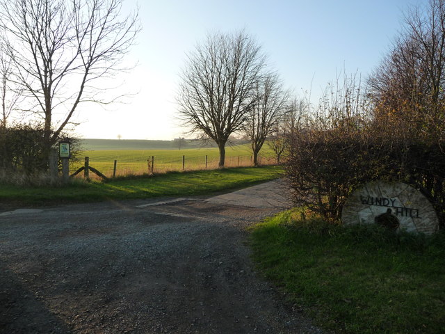
Oak Hill is easily accessible by car, with nearby parking facilities available for visitors. Its proximity to quaint villages and other attractions within the Yorkshire Dales National Park makes it a popular destination for tourists and locals alike. Whether seeking a peaceful retreat or an adventurous hike, Oak Hill provides a captivating experience for all who visit.

If you have any feedback on the listing, please let us know in the comments section below.
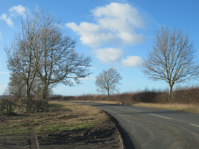
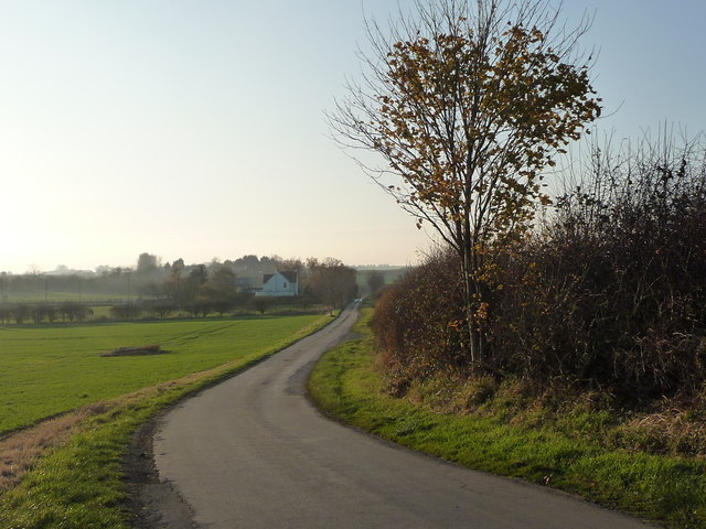
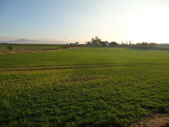
Oak Hill Images

Images are sourced within 2km of 54.465202/-1.2404845 or Grid Reference NZ4908. Thanks to Geograph Open Source API. All images are credited.
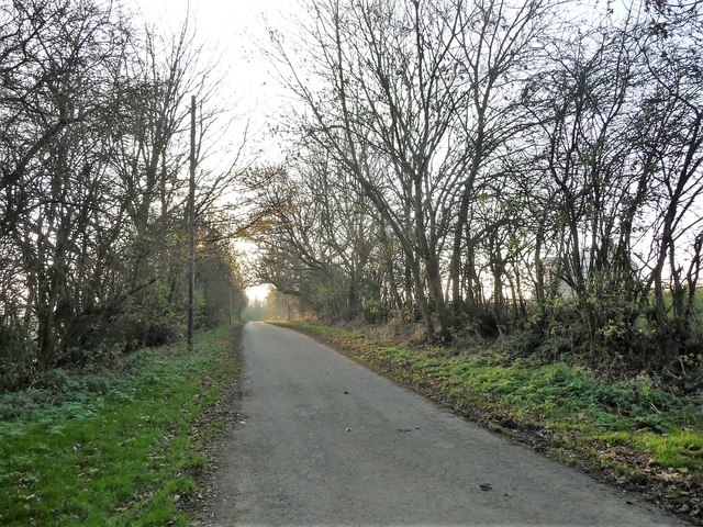
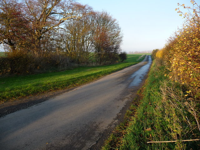
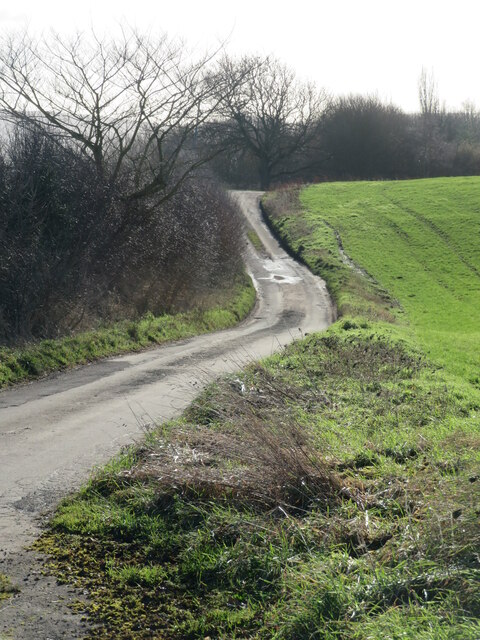
The road to nowhere A dead end road which serves Seamer Moor Farm and a few other houses along the way.
The road to nowhere
A dead end road which serves Seamer Moor Farm and a few other houses along the way.
The road to Rudby A section of the road from Stokesley to Hutton Rudby, a large 'twin' village, part of which likes to be known simply as 'Rudby'.
The road to Rudby
A section of the road from Stokesley to Hutton Rudby, a large 'twin' village, part of which likes to be known simply as 'Rudby'.
Holme Lane, heading west to Trentham Grange Seen from an 82 metre spot height.
Holme Lane, heading west to Trentham Grange
Seen from an 82 metre spot height.
Looking south from Holme Lane towards Holme Hill Farm The field is about 75 metres above sea level. The distant Cleveland hills more like 400 metre.
Looking south from Holme Lane towards Holme Hill Farm
The field is about 75 metres above sea level. The distant Cleveland hills more like 400 metre.
Farmland on the south side of Holme Lane Bisected by the road to Seamer Moor.
Farmland on the south side of Holme Lane
Bisected by the road to Seamer Moor.
The nameless road to Seamer Moor Heading south from an 82 metre spot height on Holme Lane.
The nameless road to Seamer Moor
Heading south from an 82 metre spot height on Holme Lane.
Holme Lane on an autumn afternoon Heading south-west from Seamer to Hutton Rudby.
Holme Lane on an autumn afternoon
Heading south-west from Seamer to Hutton Rudby.
Wide verge on Holme Lane, near Windy Hill The lane is heading south-west, between Seamer and Hutton Rudby.
Wide verge on Holme Lane, near Windy Hill
The lane is heading south-west, between Seamer and Hutton Rudby.
Hedged field, west of Hobshaddow Plantation About 70 metres above sea level, on the east side of Holme Lane.
Hedged field, west of Hobshaddow Plantation
About 70 metres above sea level, on the east side of Holme Lane.
Farmland at Hollow Leighs The distant trees are in the valley of Carr Stell.
Farmland at Hollow Leighs
The distant trees are in the valley of Carr Stell.
Holme Lane, heading north-east to Seamer With a 77 metre spot height at the distant minor summit.
Holme Lane, heading north-east to Seamer
With a 77 metre spot height at the distant minor summit.
Entrance to Windy Hill Farm, off Holme Lane The farm access track is also a public bridleway.
Entrance to Windy Hill Farm, off Holme Lane
The farm access track is also a public bridleway.
Public bridleway signpost, east of Windy Hill The bridleway runs west from Holme Lane, to Foxton and beyond.
Public bridleway signpost, east of Windy Hill
The bridleway runs west from Holme Lane, to Foxton and beyond.
Patch of woodland, east of Windy Hill Bordered on the east side by Holme Lane.
Patch of woodland, east of Windy Hill
Bordered on the east side by Holme Lane.
Cust Moor Plantation Looking north-west from Holme Lane.
Cust Moor Plantation
Looking north-west from Holme Lane.
Windy Hill farmhouse Basking in the autumn sun at 3pm in mid November.
Windy Hill farmhouse
Basking in the autumn sun at 3pm in mid November.
Holme Lane, heading west Climbing slightly to a 78 metre spot height at the distant bend. This part of the lane is a civil parish boundary, between Rudby [right/north] and Skutterskelfe [left/south].
Holme Lane, heading west
Climbing slightly to a 78 metre spot height at the distant bend. This part of the lane is a civil parish boundary, between Rudby [right/north] and Skutterskelfe [left/south].
Farmland at Broadmire South of Holme Lane, at the northern edge of Skutterskelfe civil parish.
Farmland at Broadmire
South of Holme Lane, at the northern edge of Skutterskelfe civil parish.
Show me another place!

Oak Hill is located at Grid Ref: NZ4908 (Lat: 54.465202, Lng: -1.2404845)

Division: North Riding

Administrative County: North Yorkshire

District: Hambleton

Police Authority: North Yorkshire

What 3 Words

///hips.measure.continues. Near Stokesley, North Yorkshire

Related Wikis

Skutterskelfe

Skutterskelfe is a civil parish in the Hambleton district of North Yorkshire, England and lies to the north of the River Leven. The population of the parish...

Rudby Hall

Rudby Hall, Hutton Rudby, Skutterskelfe, North Yorkshire is a 17,377 sq ft (1,614.4 m2) country house dating from 1838. Its origins are older but the present...

Seamer, Hambleton

Seamer is a village and civil parish in the Hambleton district of North Yorkshire, England, near the border with the Borough of Stockton-on-Tees and 2...

Rudby

Rudby is a village and civil parish, 4 miles (6.4 km) from the market town of Stokesley in the North Yorkshire, England. == Geography == It is adjoined...

Nearby Amenities

Located within 500m of 54.465202,-1.2404845
Power: pole
Lat/Long: 54.4641998/-1.2473456
Power: pole
Lat/Long: 54.4642941/-1.2459838
Power: pole
Lat/Long: 54.4643108/-1.2424586
Power: pole
Lat/Long: 54.4644193/-1.2381889
Power: pole
Lat/Long: 54.4644434/-1.2399155
Power: pole
Lat/Long: 54.4648102/-1.234937
The data included in this document is from www.openstreetmap.org. The data is made available under ODbL.

Have you been to Oak Hill?

Leave your review of Oak Hill below (or comments, questions and feedback).