Horse Hill
Hill, Mountain in Warwickshire Stratford-on-Avon
England
Horse Hill

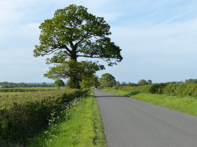
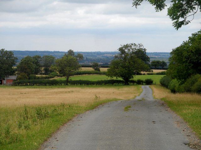
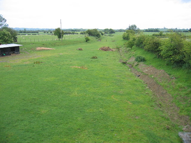
Located in the county of Warwickshire, England, Horse Hill is a prominent hill that rises to an elevation of approximately 180 meters (590 feet) above sea level. Situated near the village of Tanworth-in-Arden, this natural landmark is part of the wider Arden Hills range, which extends across the region. Horse Hill offers panoramic views of the surrounding countryside, including lush green meadows, rolling fields, and scattered woodlands.
The hill itself is characterized by gently sloping sides, covered in a mix of grasses and shrubs. At the summit, there are no distinctive features such as trees or structures, allowing visitors an unobstructed sightline across the landscape. On clear days, it is possible to see as far as the nearby towns of Redditch and Solihull.
Horse Hill is a popular recreational spot for locals and tourists alike, attracting walkers, hikers, and nature enthusiasts. Its accessibility, coupled with its tranquil ambiance, makes it an ideal location for picnics, outdoor activities, and photography. Additionally, the hill is home to a variety of wildlife, including rabbits, foxes, and various bird species.
This area holds historical significance as well, with evidence of human activity dating back to the Iron Age. Archaeological excavations have uncovered remnants of ancient settlements and burial mounds in the vicinity, highlighting the hill's cultural heritage.
Overall, Horse Hill in Warwickshire is a picturesque and historically-rich natural landmark, offering breathtaking views and a serene atmosphere for visitors to enjoy.
If you have any feedback on the listing, please let us know in the comments section below.
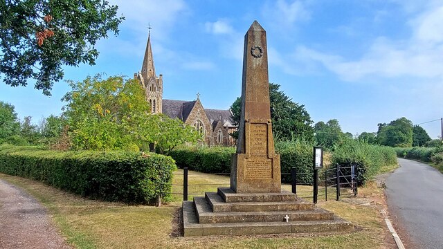
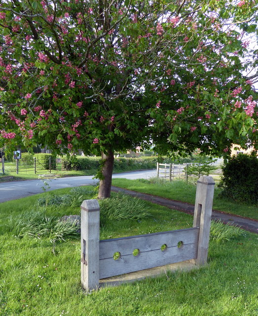
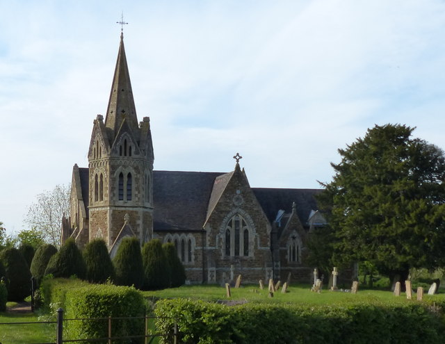
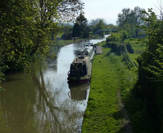
Horse Hill Images
Images are sourced within 2km of 52.256529/-1.2783067 or Grid Reference SP4962. Thanks to Geograph Open Source API. All images are credited.


Horse Hill is located at Grid Ref: SP4962 (Lat: 52.256529, Lng: -1.2783067)
Administrative County: Warwickshire
District: Stratford-on-Avon
Police Authority: Warwickshire
What 3 Words
///rekindle.vision.pint. Near Stockton, Warwickshire
Nearby Locations
Related Wikis
Shuckburgh Hall
Shuckburgh Hall is a privately owned country house mansion at Lower Shuckburgh, Warwickshire, near to Daventry in Northamptonshire. The estate has been...
Lower Shuckburgh
Lower Shuckburgh is a small village and former civil parish, now in the parish of Upper and Lower Shuckburgh, (which in the 2001 census had a population...
Flecknoe railway station
Flecknoe was a railway station that served the village of Flecknoe in Warwickshire, England, on the Weedon to Leamington Spa branch line. The station was...
Flecknoe
Flecknoe is a village in the Rugby district of Warwickshire, England, one mile west of the border with Northamptonshire. The village is the largest settlement...

Ed Bishop
George Victor Bishop (11 June 1932 – 8 June 2005), known professionally as Ed Bishop or sometimes Edward Bishop, was an American actor, predominantly based...
Catesby Priory
Catesby Priory was a priory of Cistercian nuns at Lower Catesby, Northamptonshire, England. It was founded in about 1175 and dissolved in 1536. == History... ==

Napton on the Hill
Napton on the Hill, often referred to locally as just Napton, is a village and civil parish 3 miles (4.8 km) east of Southam in Warwickshire, England....
Lower Catesby
Lower Catesby is a hamlet in the civil parish of Catesby, Northamptonshire, about 4 miles (6.4 km) southwest of Daventry. Lower Catesby is beside the nascent...
Related Videos

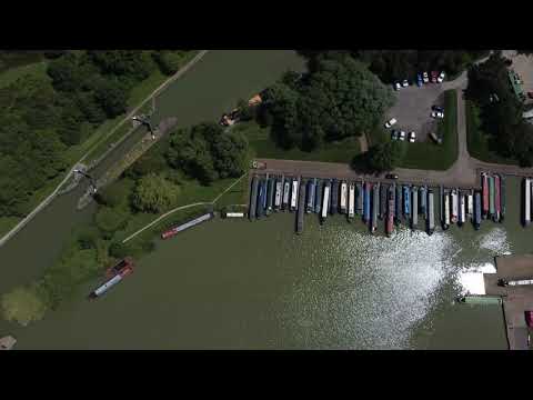
Grand Union Canal, Napton Junction to Stockton
A short 2 mile cruise starting at Napton Junction, through the three wide Calcutt locks to our mooring near Stockton.
Napton
Drone Flight round Napton Reservoir.

Pixel Falls In The Canal! Cruising On The Grand Union Canal | Quest Vlog #37
We continue our push towards Crick, cruising along the beautiful Grand Union Canal. Pixel loves to see what's passing by as we ...

Warwickshire Ring Warwick to Braunston May 2011
A trip on Jenella from Kate Boats in May 2011. Accompanied by Jan and Martin, good friends. Sadly we lost Jan to lung cancer 2 ...
Nearby Amenities
Located within 500m of 52.256529,-1.2783067Have you been to Horse Hill?
Leave your review of Horse Hill below (or comments, questions and feedback).