Hawk Hill

Hill, Mountain in Yorkshire

England

Hawk Hill

Church of St Simon & St Jude Parish church built in 1937
Church of St Simon & St Jude Credit: Graham Hogg

Hawk Hill is a prominent hill located in the county of Yorkshire, England. Standing at an elevation of approximately 1,000 feet (305 meters), it is considered a notable landmark in the region. The hill is situated within the North York Moors National Park, offering breathtaking views of the surrounding landscape.

Hawk Hill is primarily composed of sandstone, which gives it a distinctive reddish-brown hue. The hill's slopes are covered in lush vegetation, including heather, grasses, and scattered shrubs, providing a habitat for various plant and animal species.

The hill is a popular destination for hikers and nature enthusiasts, who are drawn to its stunning vistas and tranquil atmosphere. Several well-marked trails and footpaths lead visitors to the summit, where they can enjoy panoramic views of the North York Moors, rolling hills, and nearby villages.

Historically, Hawk Hill has served as a vantage point, offering strategic advantages due to its elevated position. It is believed that the hill was once used as a lookout point during conflicts and battles in the region.

In addition to its natural beauty, Hawk Hill is also known for its archaeological significance. Several prehistoric burial mounds and ancient settlements have been discovered in the vicinity, highlighting the hill's rich history and cultural heritage.

Overall, Hawk Hill in Yorkshire is a stunning natural landmark that combines scenic beauty, recreational opportunities, and historical significance, making it a must-visit destination for both locals and tourists alike.

If you have any feedback on the listing, please let us know in the comments section below.

Hawk Hill Images

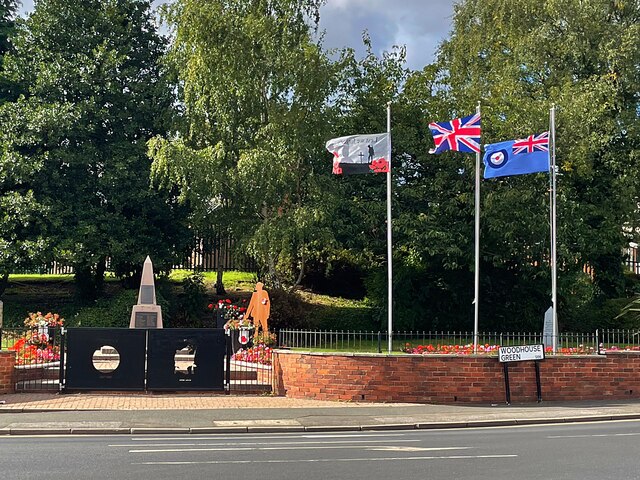
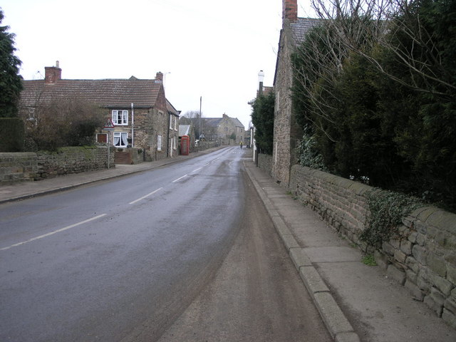
Images are sourced within 2km of 53.380762/-1.2604229 or Grid Reference SK4987. Thanks to Geograph Open Source API. All images are credited.

Church of St Simon & St Jude Parish church built in 1937
Church of St Simon & St Jude
Parish church built in 1937
Pond in Straight Mile Fisheries A purpose-built fishery off Common Road
Pond in Straight Mile Fisheries
A purpose-built fishery off Common Road
Traffic signs at a road junction The junction of Long Road and Hawk Hill Lane
Traffic signs at a road junction
The junction of Long Road and Hawk Hill Lane
Thurcroft War Memorial
Early Autumn colour in Thurcroft Cemetery
Winding wheel The wheel is from Dinnington Colliery which closed in 1992.
Winding wheel
The wheel is from Dinnington Colliery which closed in 1992.
Brampton en le morthen village sign. On the northern edge of the village.
Brampton en le morthen village sign.
On the northern edge of the village.
Silver birch trees beside a footpath The footpath is on the line of the former railway to Thurcroft Main Colliery which closed in 1992.
Silver birch trees beside a footpath
The footpath is on the line of the former railway to Thurcroft Main Colliery which closed in 1992.
Tree tunnel on the Old Mineral Line Trail The Trail is a concessionary cycle way on the line of a former railway to Thurcroft Main Colliery
Tree tunnel on the Old Mineral Line Trail
The Trail is a concessionary cycle way on the line of a former railway to Thurcroft Main Colliery
Todwick Road Looking SW to the junction with Common Road
Todwick Road
Looking SW to the junction with Common Road
Hedgerow between stubble fields Viewed through a gap in the hedge on Common Road
Hedgerow between stubble fields
Viewed through a gap in the hedge on Common Road
Bridge over the Old Mineral Line Trail The Trail is on the former railway line to Thurcroft Main Colliery.
The bridge carries four public footpaths over the trail.
Bridge over the Old Mineral Line Trail
The Trail is on the former railway line to Thurcroft Main Colliery. The bridge carries four public footpaths over the trail.
Disused Branch Line This disused branch line once carried the railway into Thurcroft Colliery.
Disused Branch Line
This disused branch line once carried the railway into Thurcroft Colliery.
Railway Branch This newly ballasted line is a branch off the Sheffield to Lincoln line and leads ultimately to Maltby and Harworth Collieries.
Railway Branch
This newly ballasted line is a branch off the Sheffield to Lincoln line and leads ultimately to Maltby and Harworth Collieries.
Footpath to Brampton This footpath crosses over the old railway branch line that served Thurcroft Colliery on its way to Brampton en le Morthen.
Footpath to Brampton
This footpath crosses over the old railway branch line that served Thurcroft Colliery on its way to Brampton en le Morthen.
Common Farm. Taken from the disused railway embankment.
Common Farm.
Taken from the disused railway embankment.
Railway embankment. The disused railway,just behind are the roofs of the industrial estate.
Railway embankment.
The disused railway,just behind are the roofs of the industrial estate.
Railway path. The footpath along the disused railway,both sides are very overgrown.
Railway path.
The footpath along the disused railway,both sides are very overgrown.
Show me another place!

Hawk Hill is located at Grid Ref: SK4987 (Lat: 53.380762, Lng: -1.2604229)

Division: West Riding

Unitary Authority: Rotherham

Police Authority: South Yorkshire

What 3 Words

///unsigned.snores.destiny. Near Ulley, South Yorkshire

Nearby Locations

Hawk Hill Brampton Gorse

Related Wikis

Brampton-en-le-Morthen

Brampton-en-le-Morthen is a small dormitory village and former civil parish, now in the parish of Thurcroft, in the Rotherham district lying to the south...

Thurcroft

Thurcroft is a village and civil parish situated south-east of Rotherham in the Metropolitan Borough of Rotherham in South Yorkshire, England. From 1902...

Thurcroft Interchange

The Thurcroft Interchange is a large motorway junction in South Yorkshire (the Metropolitan Borough of Rotherham). == History == === M1 === Early designs...

Dinnington and Laughton railway station

Dinnington and Laughton railway station was situated on the South Yorkshire Joint Railway line between the town of Dinnington and village of Laughton-en...

Nearby Amenities

Located within 500m of 53.380762,-1.2604229
Barrier: stile
Stile: stepover
Lat/Long: 53.3823088/-1.2549743
The data included in this document is from www.openstreetmap.org. The data is made available under ODbL.

Have you been to Hawk Hill?

Leave your review of Hawk Hill below (or comments, questions and feedback).