Weather Hill
Hill, Mountain in Yorkshire Hambleton
England
Weather Hill

Weather Hill is a prominent hill located in the Yorkshire Dales, England. Standing at an elevation of approximately 450 meters (1,480 feet), it offers breathtaking panoramic views of the surrounding countryside. Situated in the heart of Yorkshire, it is easily accessible and attracts both locals and tourists alike.
The hill is characterized by its rugged terrain, covered in heather and grasses, giving it a distinct charm. Its slopes are moderately steep, providing a moderate challenge for hikers and climbers. The varying gradient also attracts paragliders and hang gliders, who take advantage of the hill's thermals and prevailing winds.
The weather conditions on Weather Hill can be unpredictable, as the name suggests. It is prone to sudden changes, with mist and fog often rolling in, adding an ethereal quality to the landscape. However, on clear days, the hill offers unrivaled views of the Yorkshire Dales National Park, with its rolling green hills, meandering rivers, and charming villages.
Wildlife enthusiasts will find Weather Hill a haven for observing local fauna. The hill is home to a diverse range of bird species, including buzzards, kestrels, and peregrine falcons. Sheep can also be seen grazing on the hillside, adding to the picturesque scenery.
For those seeking a more leisurely experience, there are numerous footpaths and trails that lead up and around Weather Hill, catering to all abilities. The hill serves as an excellent destination for outdoor enthusiasts, providing a serene and tranquil setting to escape the hustle and bustle of everyday life.
If you have any feedback on the listing, please let us know in the comments section below.
Weather Hill Images
Images are sourced within 2km of 54.466773/-1.2430629 or Grid Reference NZ4908. Thanks to Geograph Open Source API. All images are credited.
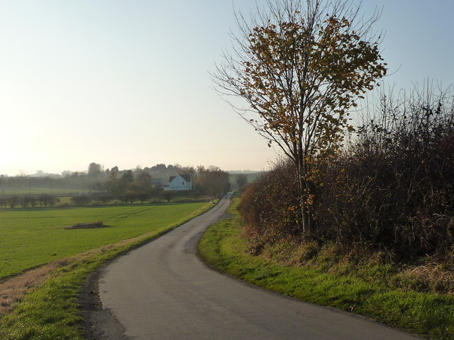
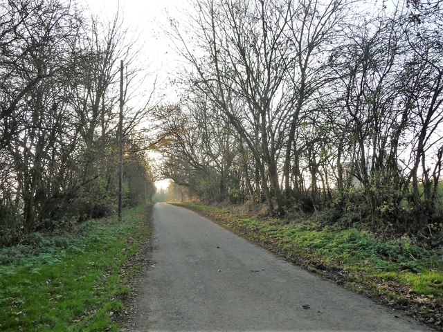
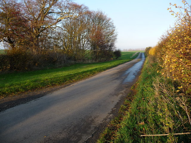


![Holme Lane, heading west Climbing slightly to a 78 metre spot height at the distant bend. This part of the lane is a civil parish boundary, between Rudby [right/north] and Skutterskelfe [left/south].](https://s0.geograph.org.uk/geophotos/05/98/76/5987620_768798e8.jpg)

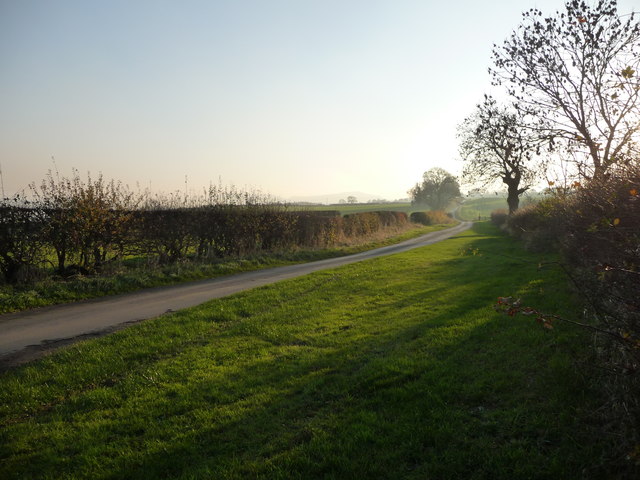
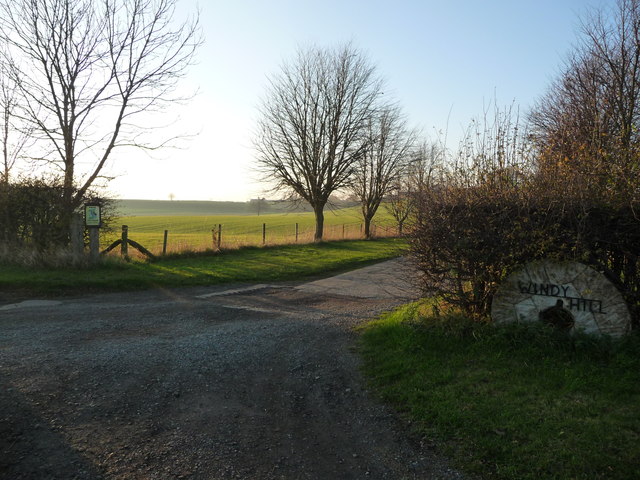
![Tree in a hedgerow, south of Holme Lane This hedged field boundary is also a civil parish boundary - between Rudby [near / north] and Skutterskelfe [far / south].](https://s2.geograph.org.uk/geophotos/05/98/76/5987626_1d490254.jpg)
Weather Hill is located at Grid Ref: NZ4908 (Lat: 54.466773, Lng: -1.2430629)
Division: North Riding
Administrative County: North Yorkshire
District: Hambleton
Police Authority: North Yorkshire
What 3 Words
///soaps.breakaway.regular. Near Stokesley, North Yorkshire
Nearby Locations
Related Wikis

Skutterskelfe
Skutterskelfe is a civil parish in the Hambleton district of North Yorkshire, England and lies to the north of the River Leven. The population of the parish...

Rudby Hall
Rudby Hall, Hutton Rudby, Skutterskelfe, North Yorkshire is a country house dating from 1838. Its origins are older but the present building was built...

Seamer, Hambleton
Seamer is a village and civil parish in the Hambleton district of North Yorkshire, England, near the border with the Borough of Stockton-on-Tees and 2...

Rudby
Rudby is a village and civil parish, 4 miles (6.4 km) from the market town of Stokesley in the Hambleton District of North Yorkshire, England. == Geography... ==

Sexhow
Sexhow is a hamlet and civil parish in Hambleton district of North Yorkshire, England. The name of the hamlet derives from Old Norse of either sexhou or...

Sexhow railway station
Sexhow railway station was a railway station built to serve the hamlet of Sexhow in North Yorkshire, England. The station was on the North Yorkshire and...

Middleton-on-Leven
Middleton-on-Leven is a hamlet and civil parish in the Hambleton District of North Yorkshire, England. At the 2011 Census, the population was less than...

Hutton Rudby
Hutton Rudby is a village and civil parish situated 4 miles (6.4 km) west of the market town of Stokesley in the Hambleton District, North Yorkshire, England...
Nearby Amenities
Located within 500m of 54.466773,-1.2430629Have you been to Weather Hill?
Leave your review of Weather Hill below (or comments, questions and feedback).