Bury Down
Hill, Mountain in Berkshire
England
Bury Down
Bury Down is a prominent hill located in Berkshire, England. Situated in the beautiful countryside, it offers stunning views of the surrounding area. It is not classified as a mountain, as its elevation is not substantial enough to meet the criteria.
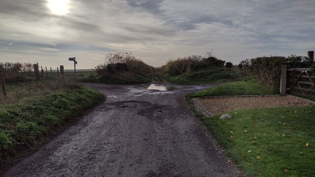
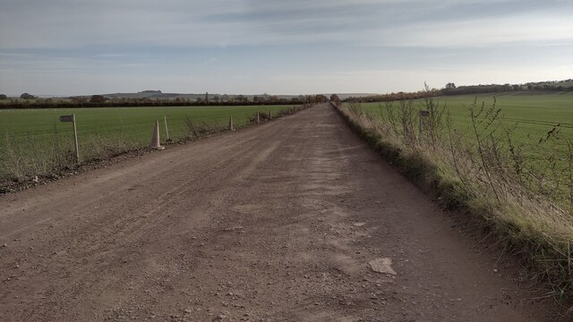
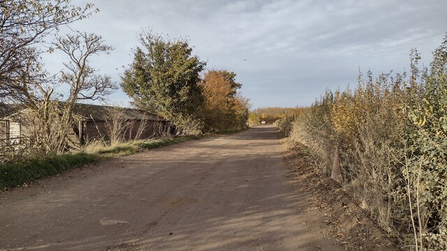
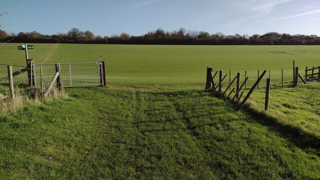
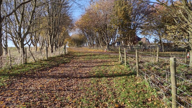
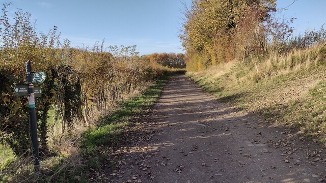
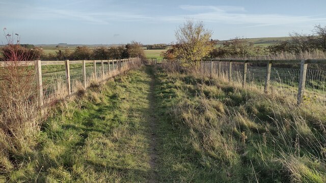
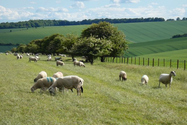
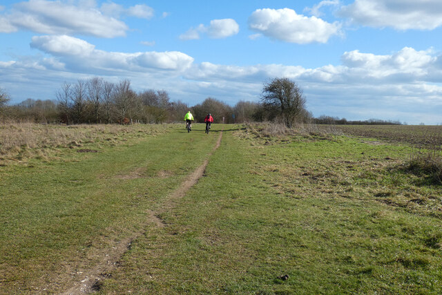
The hill is covered in lush greenery, with a variety of trees and vegetation that adds to its natural beauty. It is a popular spot for hikers, nature enthusiasts, and locals looking to escape the hustle and bustle of city life.
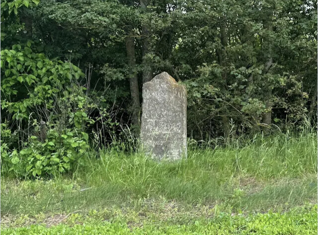
Bury Down is known for its historical significance, as it is believed to have been inhabited since prehistoric times. Archaeological evidence suggests that the site was used for ceremonial purposes during the Bronze Age. There are also remnants of Iron Age hillforts on the hill, indicating its strategic importance in ancient times.
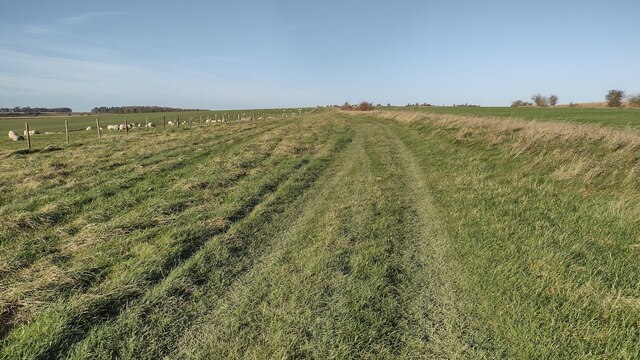
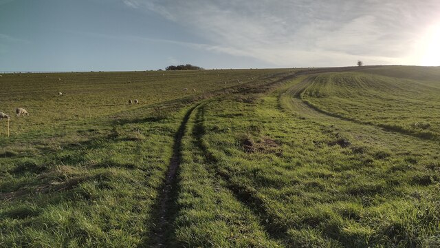
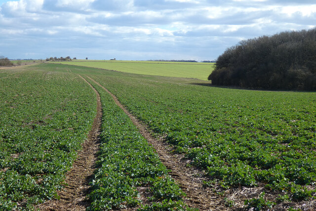
The hill offers several walking trails, allowing visitors to explore its diverse landscape. The paths wind through fields, woodlands, and open meadows, providing an opportunity to observe the local wildlife and flora. It is home to a variety of bird species, making it a haven for birdwatchers.
At the summit of Bury Down, there is a viewpoint that offers panoramic views of the surrounding countryside. On a clear day, one can see the rolling hills of Berkshire, as well as distant landmarks such as Windsor Castle. The view is particularly stunning at sunset, when the sky is painted with hues of orange and pink.
Overall, Bury Down is a picturesque hill in Berkshire, offering a tranquil escape and a glimpse into the area's rich history.
If you have any feedback on the listing, please let us know in the comments section below.
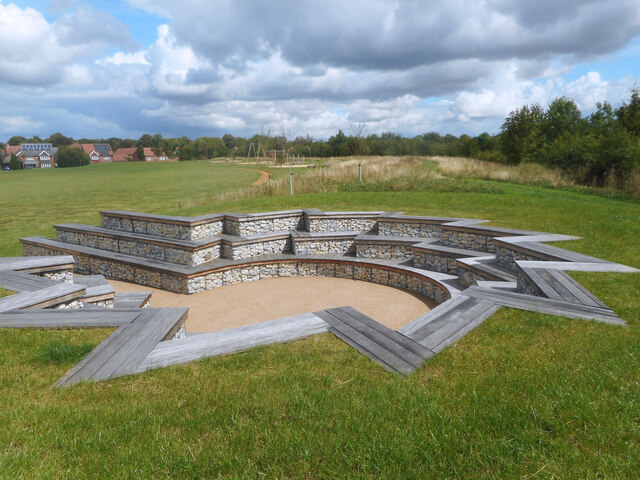
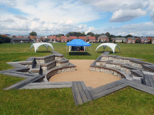
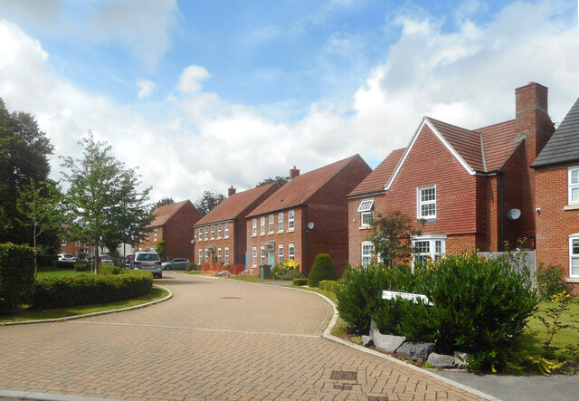
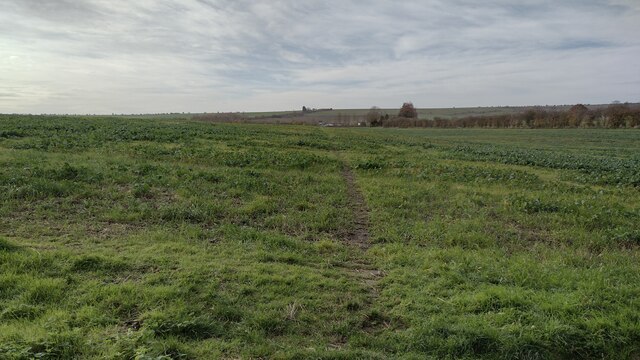
Bury Down Images
Images are sourced within 2km of 51.553741/-1.311763 or Grid Reference SU4784. Thanks to Geograph Open Source API. All images are credited.
Bury Down is located at Grid Ref: SU4784 (Lat: 51.553741, Lng: -1.311763)
Unitary Authority: West Berkshire
Police Authority: Thames Valley
What 3 Words
///balconies.cheat.cookies. Near West Ilsley, Berkshire
Nearby Locations
Related Wikis
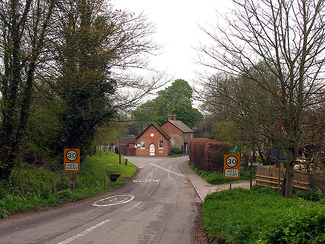
West Ilsley
West Ilsley is a village and civil parish in Berkshire, England. The population of the village at the 2011 Census was 332. == Location and amenities... ==

DIDO (nuclear reactor)
DIDO was a materials testing nuclear reactor at the Atomic Energy Research Establishment at Harwell, Oxfordshire in the United Kingdom. It used enriched...

Chilton, Oxfordshire
Chilton is a village and civil parish in the Vale of White Horse about 3+1⁄2 miles (6 km) southwest of Didcot. The parish was part of Berkshire until the...
KARMEN
KARMEN (KArlsruhe Rutherford Medium Energy Neutrino experiment), a detector associated with the ISIS synchrotron at the Rutherford Appleton Laboratory...
ENGIN-X
ENGIN-X is the dedicated materials engineering beamline at the ISIS Neutron and Muon Source in the UK. The beamline uses neutron diffraction to determine...

ISIS Neutron and Muon Source
The ISIS Neutron and Muon Source is a pulsed neutron and muon source, established 1984 at the Rutherford Appleton Laboratory of the Science and Technology...
PLUTO reactor
PLUTO was a materials testing nuclear reactor housed at the Atomic Energy Research Establishment, a former Royal Air Force airfield at Harwell, Oxfordshire...
Central Laser Facility
Central Laser Facility (CLF) is a research facility in the UK. It is part of the Rutherford Appleton Laboratory. The facility is dedicated to studying...
Nearby Amenities
Located within 500m of 51.553741,-1.311763Have you been to Bury Down?
Leave your review of Bury Down below (or comments, questions and feedback).