Grim's Ditch

Heritage Site in Berkshire

England

Grim's Ditch

New Amphiteatre, Chilton A recently constructed feature on the recreation ground in the new part of Chilton village west of the A34.
A place to sit out in and to use as a performance area.
New Amphiteatre, Chilton Credit: Des Blenkinsopp

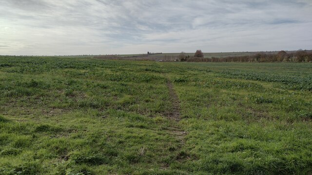
Grim's Ditch, located in Berkshire, England, is a historically significant heritage site that stretches across the county for approximately 9 miles. This ancient earthwork is believed to have been created during the Iron Age, though its exact purpose still remains a topic of debate among historians and archaeologists.

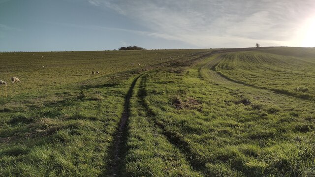
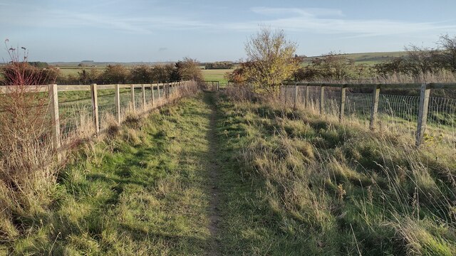
The ditch consists of a deep, linear trench with a bank on its northern side, running parallel to the Ridgeway, an ancient trackway. It is estimated to be around 2,000 years old and is named after the legendary figure of Grim, although the origin of this name is uncertain.

The construction of Grim's Ditch has long fascinated researchers due to its impressive scale and the effort required to build it. The ditch is approximately 30 feet wide and 6 feet deep, with a corresponding bank reaching a height of about 13 feet. The purpose of the earthwork is widely believed to be defensive in nature, possibly serving as a boundary marker or a deterrent against potential invaders.

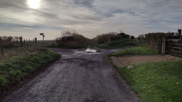
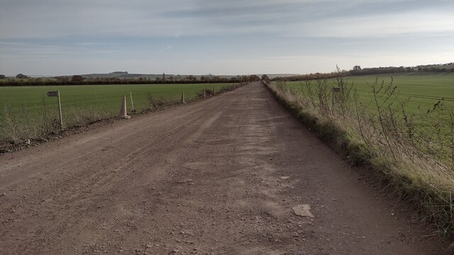
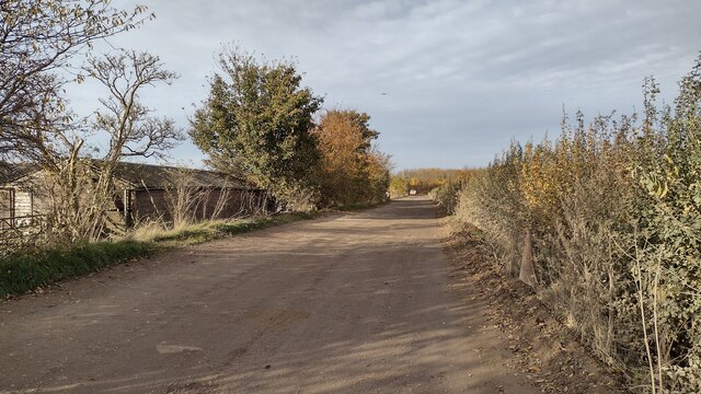
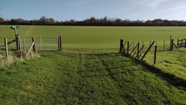
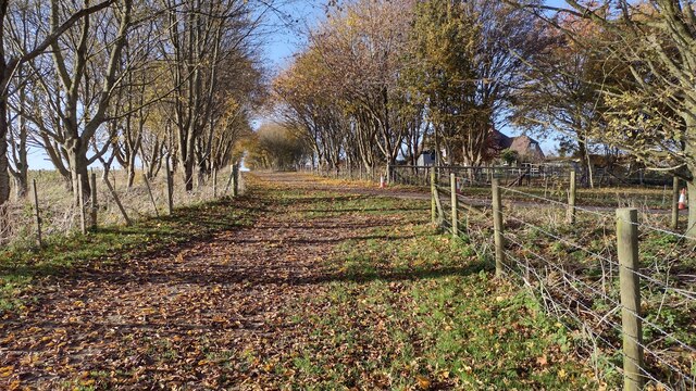
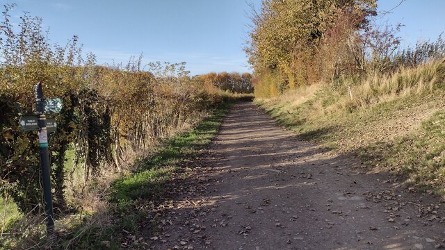
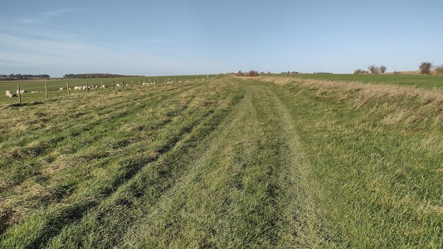
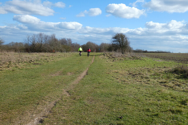
Walking along Grim's Ditch provides a unique opportunity to step back in time and witness a tangible piece of ancient history. The site is accessible to the public and attracts both history enthusiasts and nature lovers, as it winds through picturesque landscapes and offers breathtaking views of the Berkshire countryside.

Grim's Ditch stands as a testament to the ingenuity and craftsmanship of our Iron Age ancestors, preserving a slice of Berkshire's ancient past and providing a valuable insight into the region's rich history.

If you have any feedback on the listing, please let us know in the comments section below.
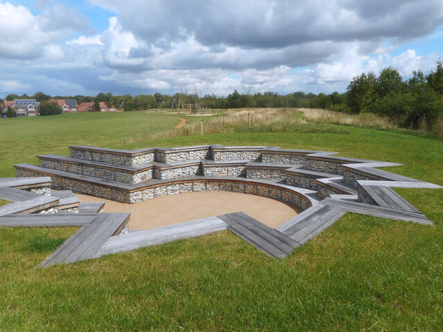
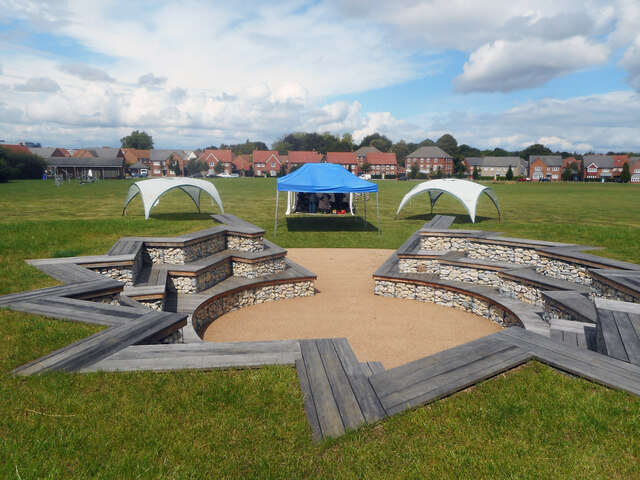
Grim's Ditch Images

Images are sourced within 2km of 51.557/-1.315 or Grid Reference SU4784. Thanks to Geograph Open Source API. All images are credited.

New Amphiteatre, Chilton A recently constructed feature on the recreation ground in the new part of Chilton village west of the A34.
A place to sit out in and to use as a performance area.
New Amphiteatre, Chilton
A recently constructed feature on the recreation ground in the new part of Chilton village west of the A34. A place to sit out in and to use as a performance area.
Amphitheatre on the green Another view of the newly completed amphitheatre on the recreation ground in the new part of Chilton village west of the A34.
New houses can be seen in the background.
Amphitheatre on the green
Another view of the newly completed amphitheatre on the recreation ground in the new part of Chilton village west of the A34. New houses can be seen in the background.
Potteries Lane, Chilton Part of an extensive new housing development which has expanded Chilton village onto the west side of the A34.
Potteries Lane, Chilton
Part of an extensive new housing development which has expanded Chilton village onto the west side of the A34.
Spa Street, Chilton Part of an extensive new housing development which has expanded Chilton village onto the west side of the A34.
Spa Street, Chilton
Part of an extensive new housing development which has expanded Chilton village onto the west side of the A34.
Path towards the A34 From Chilton the path towards the A34
Path towards the A34
From Chilton the path towards the A34
Bargeway byway heading to Downs Lane From South Row the Bargeway byway heading to Downs Lane
Bargeway byway heading to Downs Lane
From South Row the Bargeway byway heading to Downs Lane
Restricted Byway Restricted byway going past the Chilton to Ridgeway path heading towards Downs Lane
Restricted Byway
Restricted byway going past the Chilton to Ridgeway path heading towards Downs Lane
Restricted Byway Restricted byway heading towards the A34 junction
Restricted Byway
Restricted byway heading towards the A34 junction
Junction with the bridleway to Folly Down From Folly Barn the junction with the bridleway to Folly Down
Junction with the bridleway to Folly Down
From Folly Barn the junction with the bridleway to Folly Down
Bridleway heading to Bury Lane Bridleway passing Folly Barn heading to Bury Lane
Bridleway heading to Bury Lane
Bridleway passing Folly Barn heading to Bury Lane
Bridleway heading towards Sheep Down From West Ilsley the bridleway heading towards Sheep Down
Bridleway heading towards Sheep Down
From West Ilsley the bridleway heading towards Sheep Down
Bridleway heading onto Sheep Down From West Ilsley the bridleway heading onto Sheep Down
Bridleway heading onto Sheep Down
From West Ilsley the bridleway heading onto Sheep Down
Bridleway heading up to The Ridgeway From Stileway Road (track) the bridleway heading up East Hendred Down to The Ridgeway
Bridleway heading up to The Ridgeway
From Stileway Road (track) the bridleway heading up East Hendred Down to The Ridgeway
Bridleway joining the Byway From Stileway Road (track) the bridleway joining the byway coming down from The Ridgeway
Bridleway joining the Byway
From Stileway Road (track) the bridleway joining the byway coming down from The Ridgeway
Junction of Thorningdown and Lower Road (looking towards The Rose and Crown, Chilton)
Junction of Thorningdown and Lower Road
(looking towards The Rose and Crown, Chilton)
All Saints' Church Hall: early September 2022
Pasture, West Ilsley
The Ridgeway, West Ilsley Approaching the A34 from the west.
The Ridgeway, West Ilsley
Approaching the A34 from the west.
Show me another place!

Grim's Ditch is located at Grid Ref: SU4784 (Lat: 51.557, Lng: -1.315)

Unitary Authority: West Berkshire

Police Authority: Thames Valley

What 3 Words

///ounce.fingernails.method. Near West Ilsley, Berkshire

Related Wikis

DIDO (nuclear reactor)

DIDO was a materials testing nuclear reactor at the Atomic Energy Research Establishment at Harwell, Oxfordshire in the United Kingdom. It used enriched...

KARMEN

KARMEN (KArlsruhe Rutherford Medium Energy Neutrino experiment), a detector associated with the ISIS synchrotron at the Rutherford Appleton Laboratory...

ENGIN-X

ENGIN-X is the dedicated materials engineering beamline at the ISIS Neutron and Muon Source in the UK. The beamline uses neutron diffraction to determine...

ISIS Neutron and Muon Source

The ISIS Neutron and Muon Source is a pulsed neutron and muon source, established 1984 at the Rutherford Appleton Laboratory of the Science and Technology...

PLUTO reactor

PLUTO was a materials testing nuclear reactor housed at the Atomic Energy Research Establishment, a former Royal Air Force airfield at Harwell, Oxfordshire...

Central Laser Facility

Central Laser Facility (CLF) is a research facility in the UK. It is part of the Rutherford Appleton Laboratory. The facility is dedicated to studying...

Rutherford Appleton Laboratory

The Rutherford Appleton Laboratory (RAL) is one of the national scientific research laboratories in the UK operated by the Science and Technology Facilities...

Nimrod (synchrotron)

Nimrod (National Institute Machine Radiating on Downs, "the Mighty Hunter" Nimrod; name attributed to W. Galbraith) was a 7 GeV proton synchrotron operating...

Nearby Amenities

Located within 500m of 51.557,-1.315
Board Type: geography
Information: board
Tourism: information
Lat/Long: 51.5535428/-1.3112032
The data included in this document is from www.openstreetmap.org. The data is made available under ODbL.

Have you been to Grim's Ditch?

Leave your review of Grim's Ditch below (or comments, questions and feedback).