Ives Head
Hill, Mountain in Leicestershire Charnwood
England
Ives Head
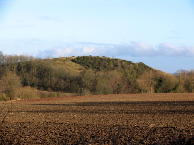
Ives Head is a prominent hill located in Leicestershire, England. It stands at an elevation of approximately 214 meters (702 feet) above sea level and is part of the Charnwood Forest. The hill is situated near the village of Newtown Linford, about 8 kilometers (5 miles) northwest of Leicester city center.
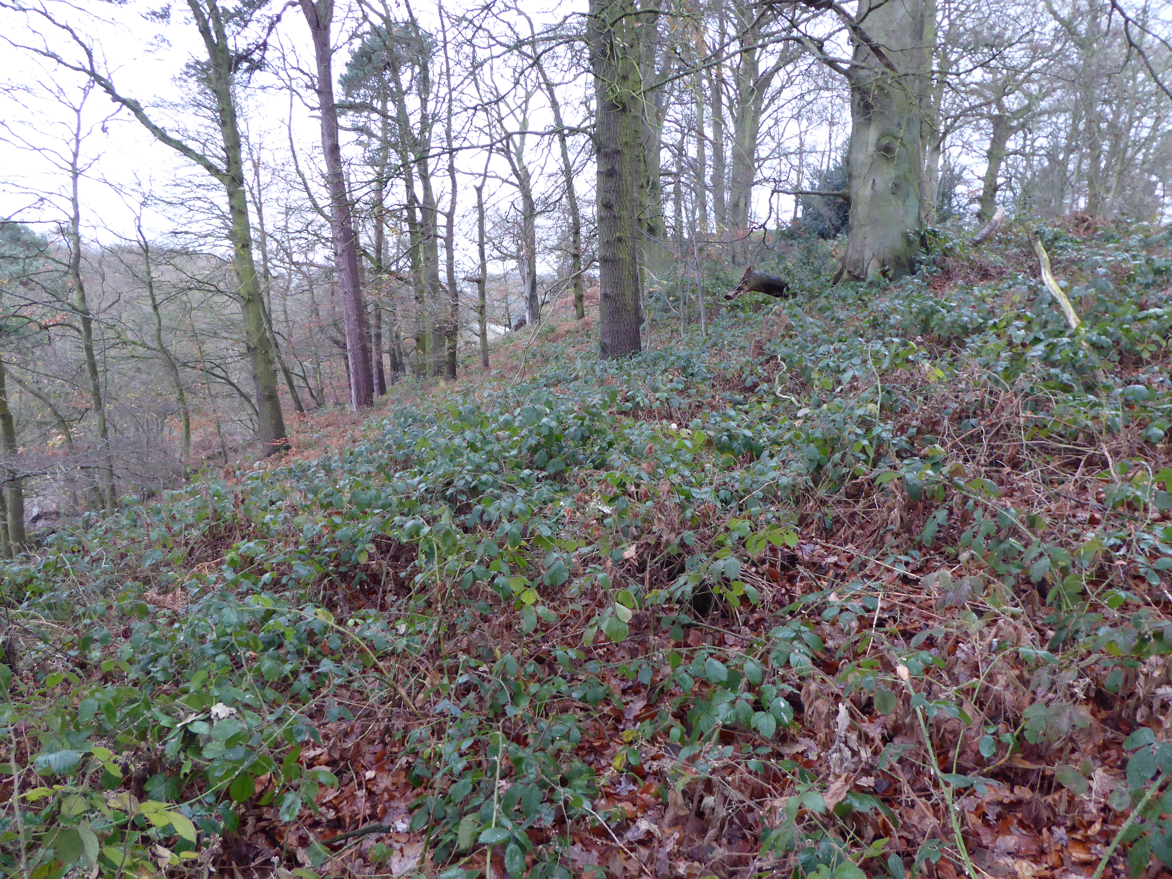
Ives Head is known for its stunning views, offering panoramic vistas of the surrounding countryside. On a clear day, visitors can see as far as the city of Leicester and the rolling hills of Leicestershire. The hill is covered in dense woodland, primarily consisting of ancient oak and beech trees, which adds to its natural beauty.
The area around Ives Head is popular among hikers and nature enthusiasts. Several walking trails and footpaths lead to the summit, providing an opportunity for outdoor activities and exploration. The hill is also home to a variety of wildlife, including deer, foxes, and a diverse range of bird species.
In addition to its natural allure, Ives Head holds historical significance. The hill is named after the St. Ives Chapel, which was once located at its summit. Although the chapel no longer stands, remnants of its foundations can still be seen today, adding an element of historical intrigue to the site.
Overall, Ives Head offers a picturesque and tranquil setting, making it a favorite destination for those seeking a peaceful escape or an adventurous hike in the Leicestershire countryside.
If you have any feedback on the listing, please let us know in the comments section below.
Ives Head Images
Images are sourced within 2km of 52.748692/-1.2931969 or Grid Reference SK4717. Thanks to Geograph Open Source API. All images are credited.


Ives Head is located at Grid Ref: SK4717 (Lat: 52.748692, Lng: -1.2931969)
Administrative County: Leicestershire
District: Charnwood
Police Authority: Leicestershire
What 3 Words
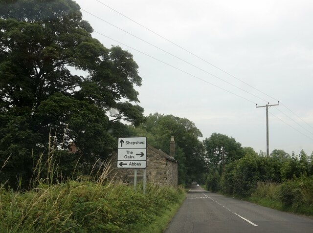
///sunbeam.convinced.known. Near Shepshed, Leicestershire
Nearby Locations
Related Wikis

Ives Head
Ives Head is a 5 hectares (12 acres) geological Site of Special Scientific Interest south of Shepshed in Leicestershire. It is a Geological Conservation...
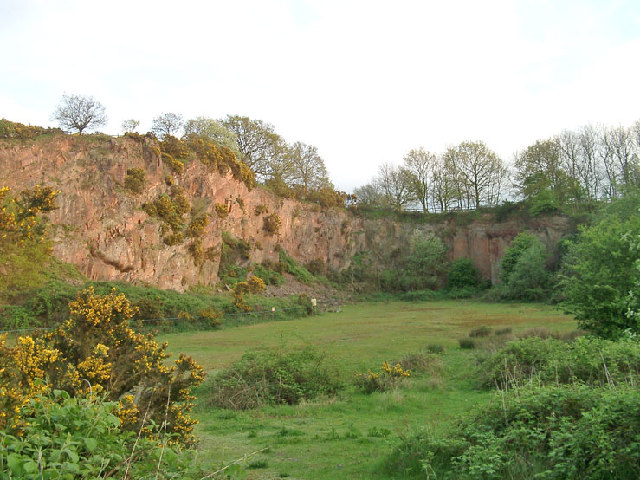
Morley Quarry
Morley Quarry is a 3.1 hectares (7.7 acres) Local Nature Reserve on the southern outskirts of Shepshed in Leicestershire.The quarries are a Regionally...
Newhurst Quarry
Newhurst Quarry is a 9.5 hectares (23 acres) geological Site of Special Scientific Interest on the southern outskirts of Shepshed in Leicestershire. It...

Oaks in Charnwood
Oaks in Charnwood is a hamlet of scattered houses in the English county of Leicestershire within the Charnwood Forest. Oaks in Charnwood is located in...
One Barrow Plantation
One Barrow Plantation is a 1.8 hectares (4.4 acres) geological Site of Special Scientific Interest (SSSI) south-west of Shepshed in Leicestershire. It...

Shepshed railway station
Shepshed railway station was a station on the Charnwood Forest Railway. Near the town of Shepshed, Leicestershire. It was opened on 16 April 1883 as a...

Blackbrook Reservoir
Blackbrook Reservoir is a 33.4-hectare (83-acre) biological Site of Special Scientific Interest between Shepshed and Whitwick in Leicestershire.The reservoir...

Charnwood Lodge
Charnwood Lodge is a 134.2-hectare (332-acre) biological and geological Site of Special Scientific Interest in Charnwood Forest, east of Coalville in Leicestershire...
Nearby Amenities
Located within 500m of 52.748692,-1.2931969Have you been to Ives Head?
Leave your review of Ives Head below (or comments, questions and feedback).