Birch Hill
Hill, Mountain in Leicestershire North West Leicestershire
England
Birch Hill
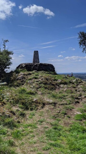
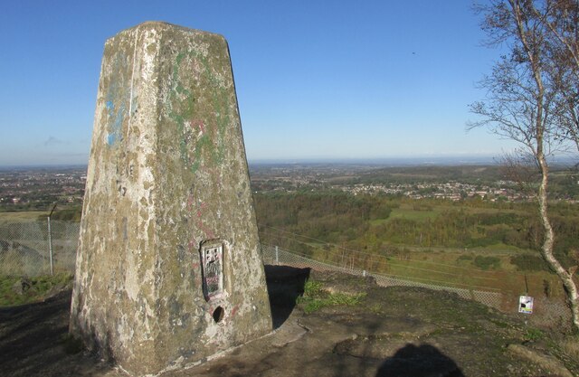
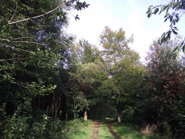
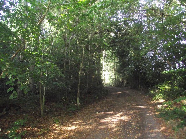
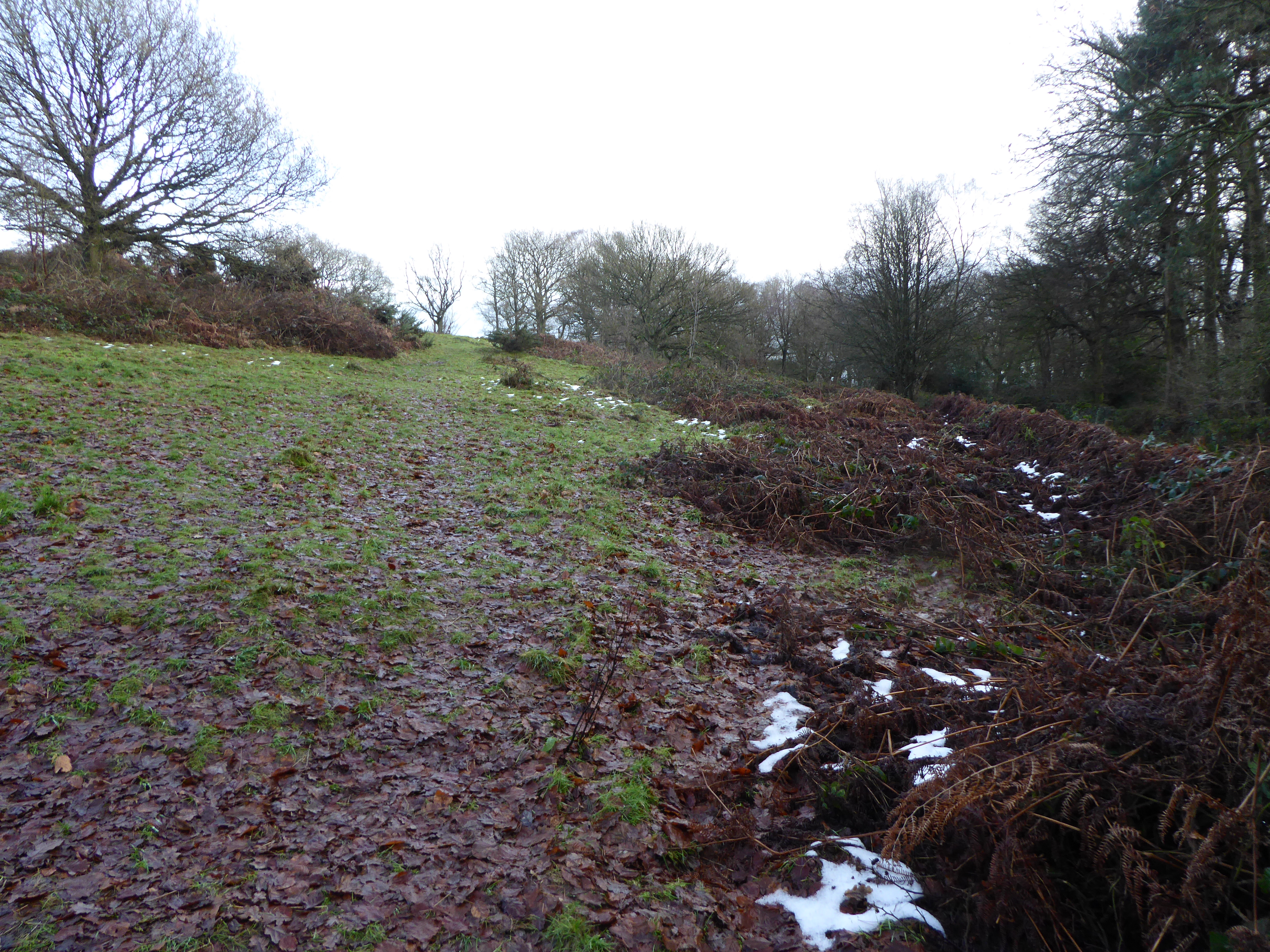
Birch Hill is a picturesque hill located in Leicestershire, England. It is part of the Charnwood Forest and situated in the heart of the National Forest. With an elevation of approximately 210 meters (690 feet), Birch Hill offers breathtaking panoramic views of the surrounding countryside.
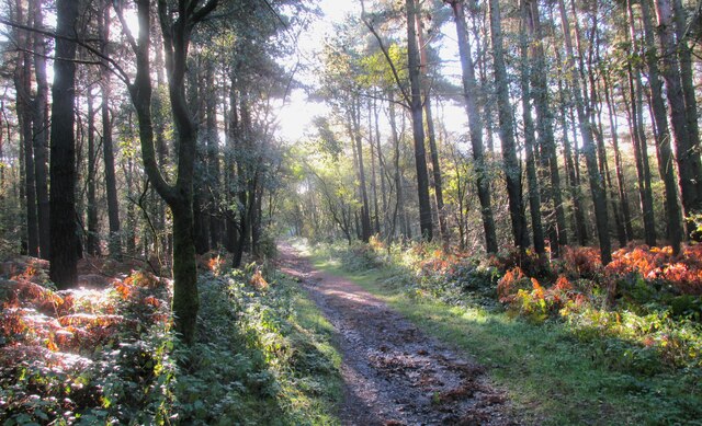
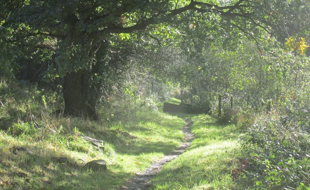
Covered in lush greenery, the hill is predominantly covered with birch trees, hence its name. These trees provide a serene and tranquil atmosphere, making it a popular spot for nature enthusiasts, hikers, and walkers. The hill is also home to a diverse range of flora and fauna, including various bird species and small mammals.
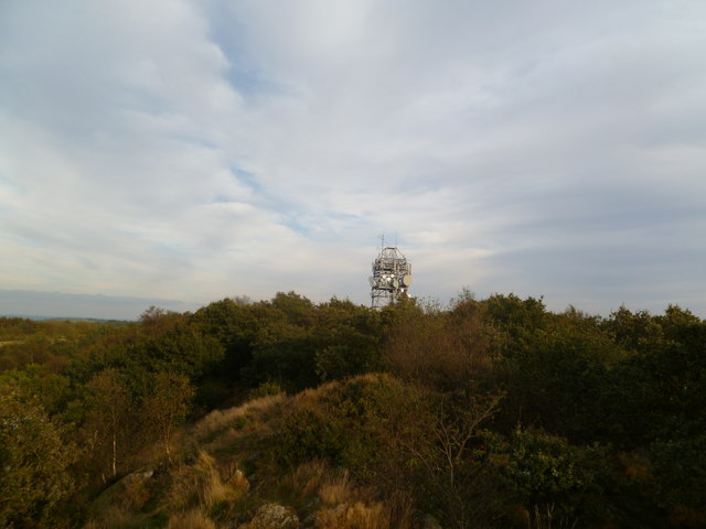
At the top of Birch Hill, there is a viewing point that offers unparalleled vistas of the surrounding area. On clear days, visitors can see as far as Leicester city center and even the Peak District in the distance. The view is particularly stunning during sunrise and sunset, as the colors of the sky reflect off the rolling hills.
The hill is well-maintained, with designated trails and paths for visitors to explore. These trails cater to different levels of difficulty, accommodating both casual strollers and experienced hikers. Along the way, there are informative signposts providing knowledge about the local wildlife and history of the area.
Birch Hill is not only a natural haven but also a place of historical significance. It is believed to have been used as a meeting point for local communities in the past, and remnants of ancient settlements have been discovered nearby.
Overall, Birch Hill in Leicestershire offers a peaceful and scenic retreat for those seeking to connect with nature and enjoy the breathtaking beauty of the English countryside.
If you have any feedback on the listing, please let us know in the comments section below.
Birch Hill Images
Images are sourced within 2km of 52.718038/-1.2932482 or Grid Reference SK4713. Thanks to Geograph Open Source API. All images are credited.


Birch Hill is located at Grid Ref: SK4713 (Lat: 52.718038, Lng: -1.2932482)
Administrative County: Leicestershire
District: North West Leicestershire
Police Authority: Leicestershire
What 3 Words
///spicy.driftwood.overcomes. Near Markfield, Leicestershire
Nearby Locations
Related Wikis
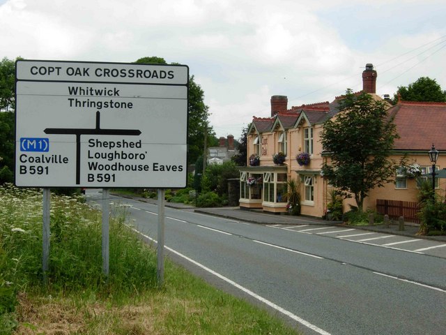
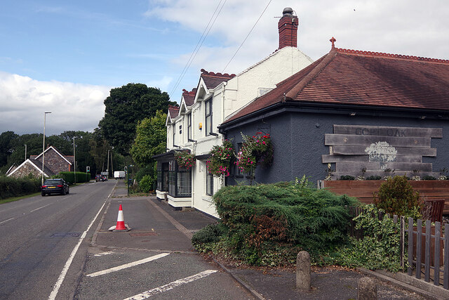
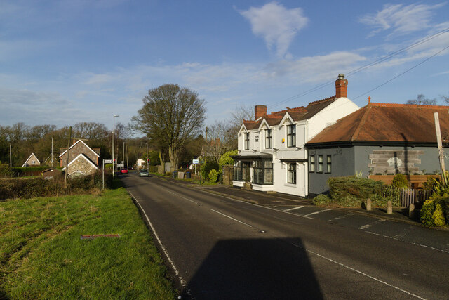
Copt Oak
Copt Oak is a hamlet in Leicestershire, England. It is located in the North West Leicestershire district near the large village of Markfield and the rural...

Charley Priory
Charley Priory was a small former priory in Leicestershire, England. == History == The exact date Charley Priory was established is unknown, but is at...

Charley, Leicestershire
Charley is a civil parish located in the North West Leicestershire district of Leicestershire, England. According to the 2001 census, it had a population...

Charley Woods
Charley Woods is a 26.8 hectares (66 acres) nature reserve north of Copt Oak in Leicestershire. It is owned and managed by the Leicestershire and Rutland...

Abbots Oak
Abbots Oak is a hamlet near Coalville, Leicestershire, comprising a cluster of dwellings near Warren Hills, either side of the road between Whitwick and...
Ulverscroft Nature Reserve
Ulverscroft is a 56-hectare (140-acre) nature reserve north of Markfield in Leicestershire, England. It is managed by the Leicestershire and Rutland Wildlife...

Ulverscroft Valley
Ulverscroft Valley is a 110.8 hectares (274 acres) biological Site of Special Scientific Interest north-west of Markfield in Leicestershire. The site is...

Bardon Hill
Bardon Hill is the highest Hill in Leicestershire and on a clear day the Malvern and Shropshire Hills (approx. 50–60 miles), summits in Derbyshire (approx...
Nearby Amenities
Located within 500m of 52.718038,-1.2932482Have you been to Birch Hill?
Leave your review of Birch Hill below (or comments, questions and feedback).