Broad Hill
Hill, Mountain in Leicestershire North West Leicestershire
England
Broad Hill

Broad Hill is a picturesque hill located in the county of Leicestershire, England. Situated in the rural area of the East Midlands, it is part of the charming landscape that characterizes this region. Despite its name, Broad Hill does not meet the criteria to be classified as a mountain, as it is relatively low in comparison to other peaks found worldwide.
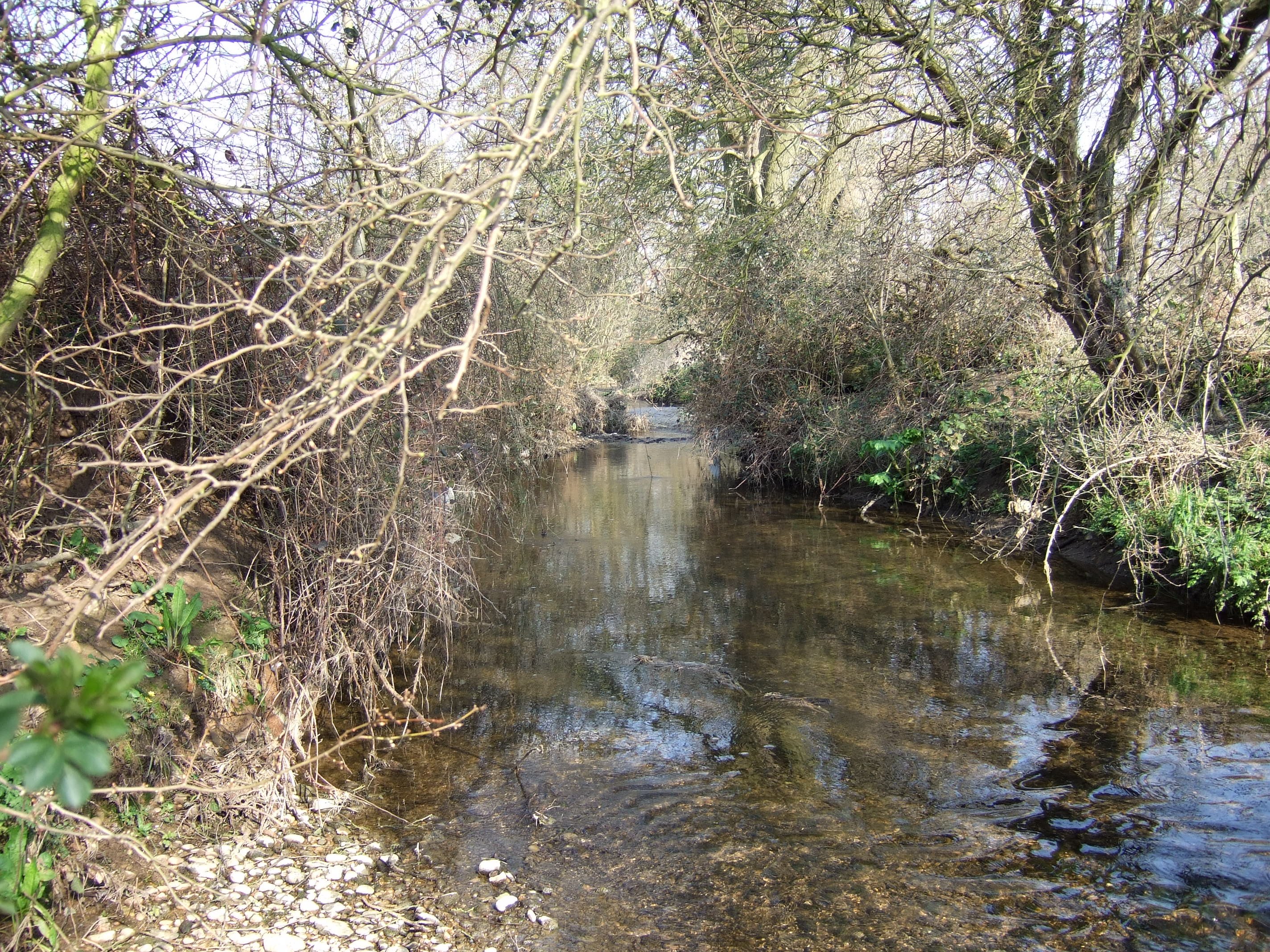
The hill offers stunning panoramic views of the surrounding countryside, with its gentle slopes covered in lush greenery and dotted with trees. It is a popular destination for both locals and visitors who enjoy leisurely walks and hikes, as well as nature enthusiasts looking to immerse themselves in the peaceful and serene atmosphere.
Broad Hill is home to a diverse range of flora and fauna, with its meadows and woodlands providing habitats for numerous species of plants and animals. The area is particularly known for its vibrant wildflowers that bloom during the spring and summer months, creating a colorful and enchanting landscape.
The hill is also steeped in history, with archaeological evidence suggesting human presence in the area dating back to ancient times. It is believed that Broad Hill was once used as a settlement during the Iron Age, and remnants of ancient structures and artifacts have been discovered in the vicinity.
Overall, Broad Hill is a captivating natural landmark that showcases the beauty of Leicestershire's countryside. Its idyllic scenery, rich biodiversity, and historical significance make it a must-visit destination for those seeking a tranquil and immersive experience in the heart of England.
If you have any feedback on the listing, please let us know in the comments section below.
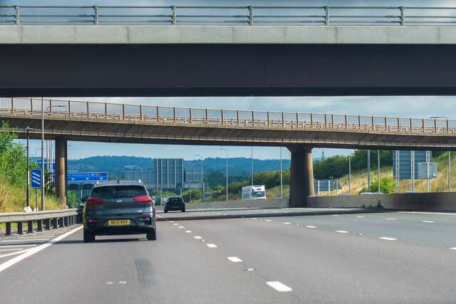
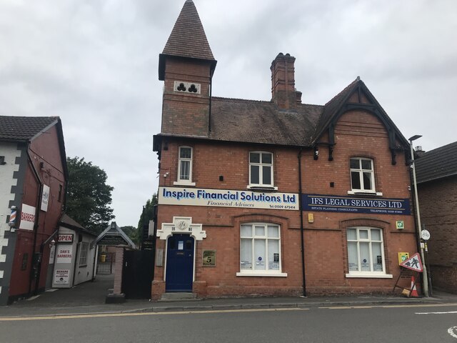
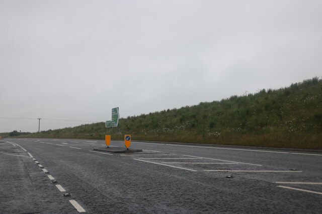
Broad Hill Images
Images are sourced within 2km of 52.830253/-1.2912361 or Grid Reference SK4726. Thanks to Geograph Open Source API. All images are credited.


Broad Hill is located at Grid Ref: SK4726 (Lat: 52.830253, Lng: -1.2912361)
Administrative County: Leicestershire
District: North West Leicestershire
Police Authority: Leicestershire
What 3 Words
///treetop.commented.duos. Near Kegworth, Leicestershire
Nearby Locations
Related Wikis
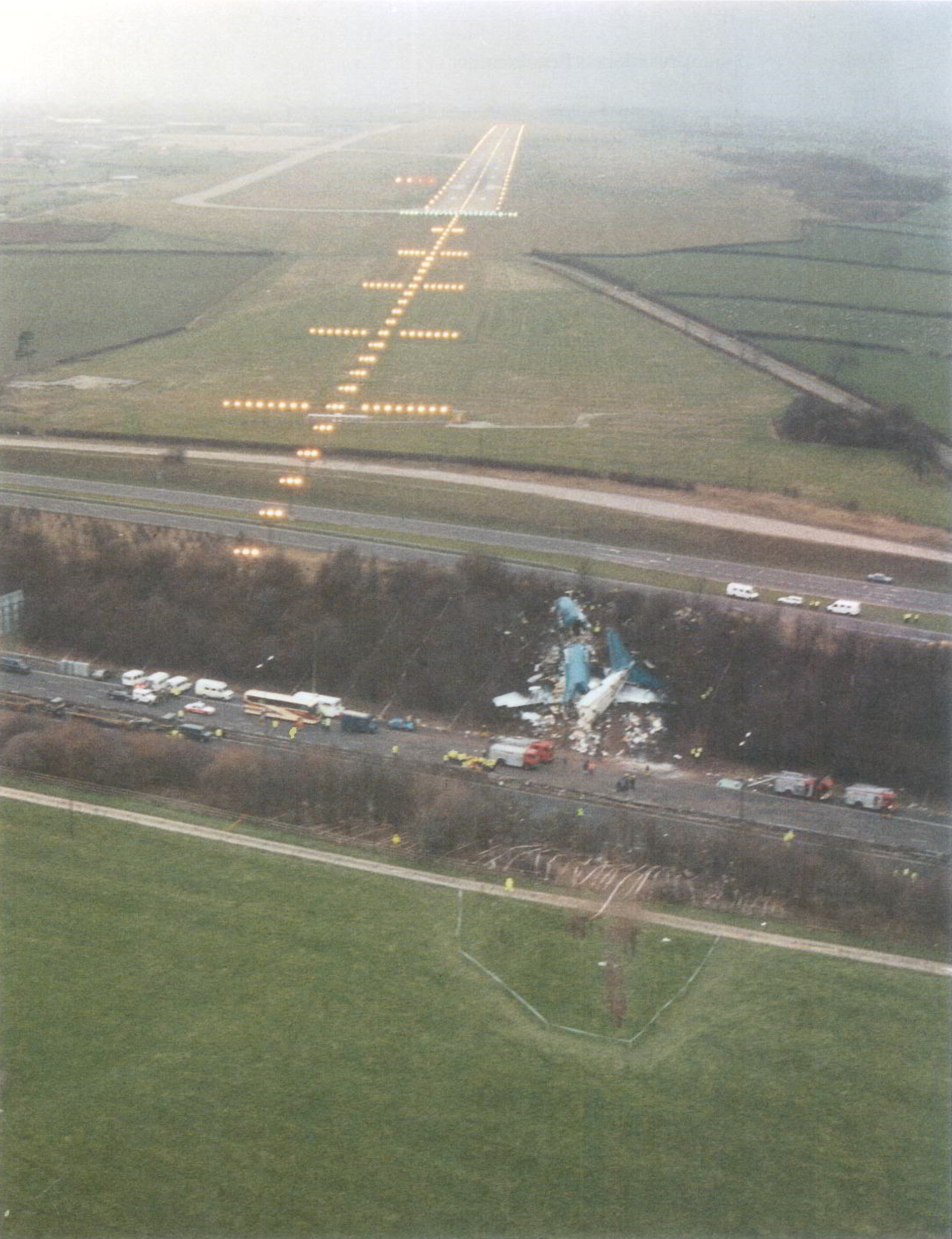
Kegworth air disaster
The Kegworth air disaster occurred when British Midland Airways Flight 092, a Boeing 737-400, crashed onto the motorway embankment between the M1 motorway...

East Midlands Gateway
The East Midlands Gateway is a 700-acre (280 ha) rail freight terminal and intermodal freight centre situated to the west of the village of Kegworth in...
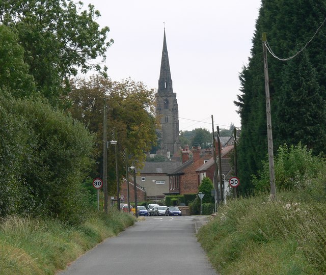
Kegworth
Kegworth () is a large village and civil parish in the North West Leicestershire district of Leicestershire, in the East Midlands region, England. It forms...
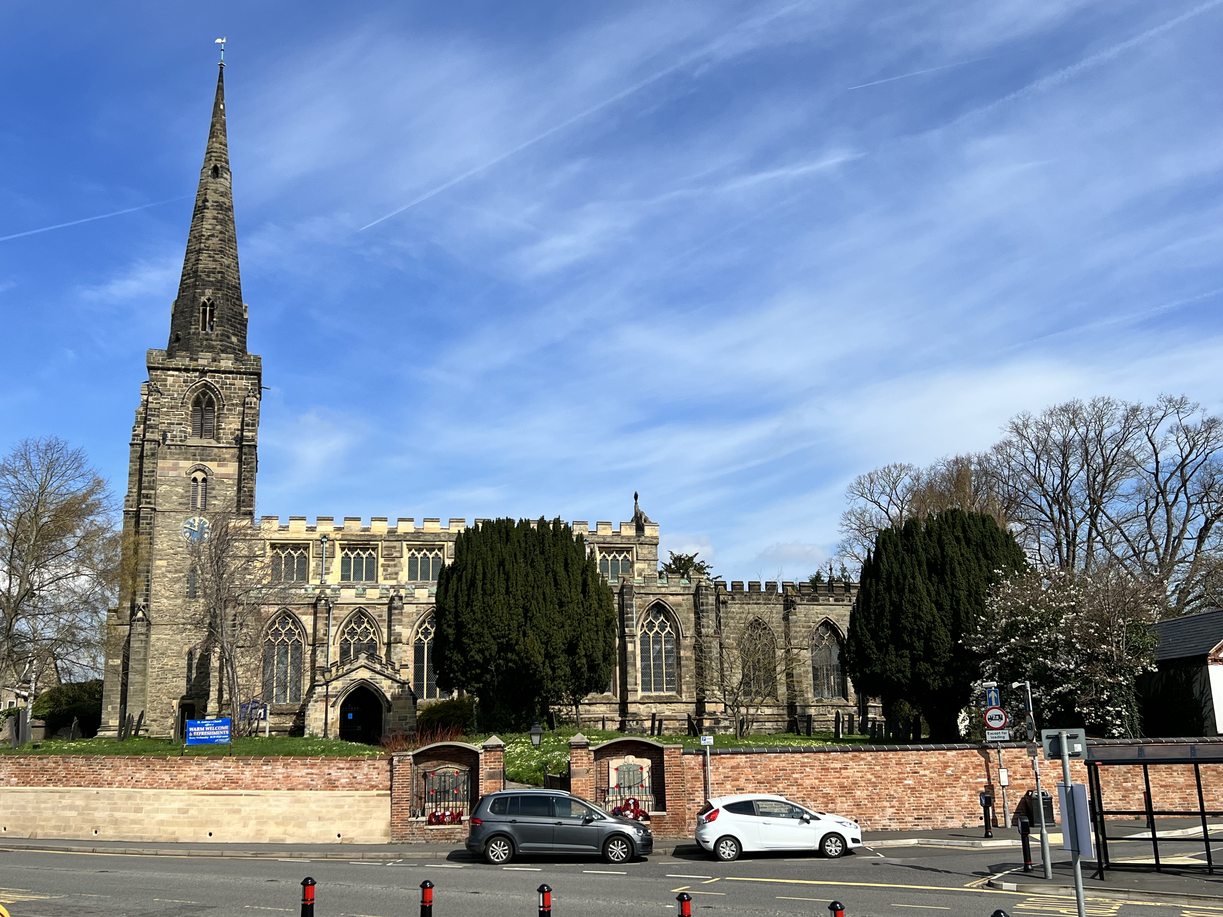
St Andrew's Church, Kegworth
St Andrew's Church, Kegworth is a Grade II* listed Church of England church in Kegworth, Leicestershire. == History == The church has existed since at...
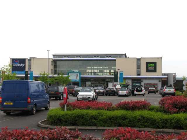
Donington Park motorway services
Donington Park is a motorway service station owned by Moto, near Kegworth village in the English East Midlands. It is accessed from the M1 motorway by...

Castle Donington Rural District
The rural district of Castle Donington in Leicestershire, England, was formed in 1894 and abolished in 1974. It was formed by the Local Government Act...
Kingston Brook
Kingston Brook is a small river in central England. It arises near Old Dalby, Leicestershire on the northern edge of the ridge running from Normanton-on...

Lockington Hall
Lockington Hall is a 17th-century country house, much improved and extended in later centuries, situated at Main Street, Hemington, Lockington, Leicestershire...
Nearby Amenities
Located within 500m of 52.830253,-1.2912361Have you been to Broad Hill?
Leave your review of Broad Hill below (or comments, questions and feedback).