Andrew's Hill

Hill, Mountain in Durham

England

Andrew's Hill

Outside the Library Looking westwards along Seaside Lane from the steps in front of the library.
A Sunday morning and nobody's about.
Outside the Library Credit: Des Blenkinsopp

Andrew's Hill is a prominent geographical feature located in Durham, a historic city in the northeast of England. It is considered a hill rather than a mountain, as it stands at an elevation of around 200 meters (656 feet) above sea level. The hill is situated in the western outskirts of Durham, near the village of Ushaw Moor.

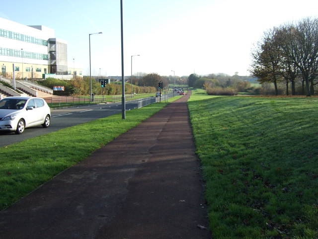
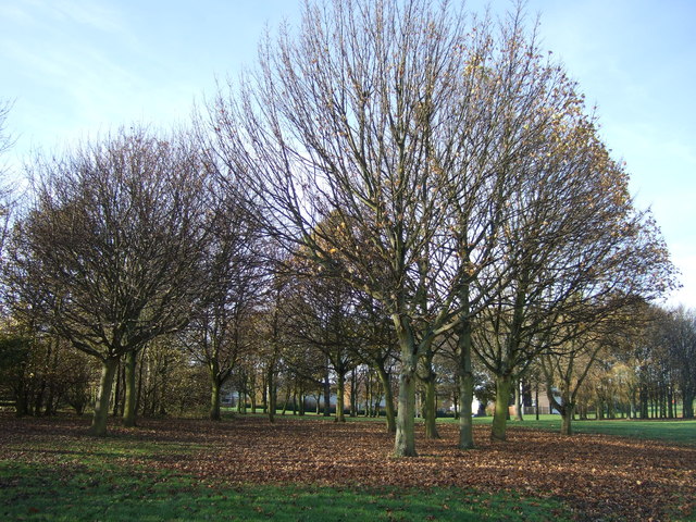
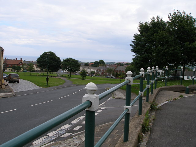
Andrew's Hill is known for its picturesque landscape and stunning views of the surrounding countryside. The hill is covered in lush green vegetation, with a mix of grasslands and scattered trees. It is a popular destination for hikers and nature enthusiasts, offering a range of walking trails that allow visitors to explore the area's natural beauty.

The hill is named after Andrew, a local historical figure, but details about his identity and significance are scarce. Nevertheless, the name has endured for generations and is now synonymous with the hill itself.

Aside from its natural beauty, Andrew's Hill also has historical significance. Close to the hill, there are remnants of ancient settlements and archaeological sites, providing evidence of human habitation in the area dating back thousands of years. These historical features add to the allure of the hill, attracting both nature lovers and history buffs.

In summary, Andrew's Hill in Durham is a picturesque and historically significant landmark that offers stunning views and a range of outdoor activities. It is a beloved destination for locals and tourists alike, providing a serene escape from the bustling city life of Durham.

If you have any feedback on the listing, please let us know in the comments section below.

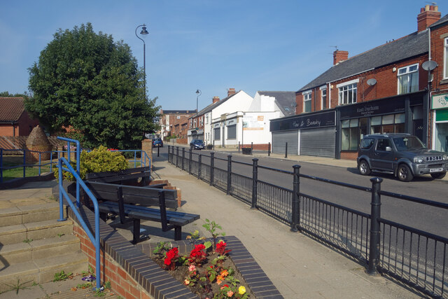
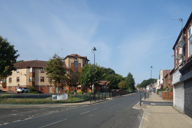
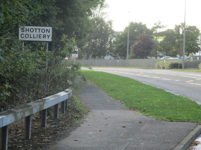
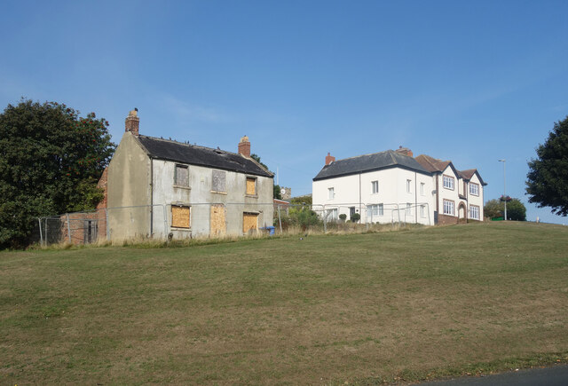
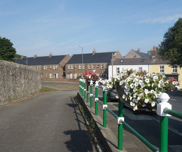
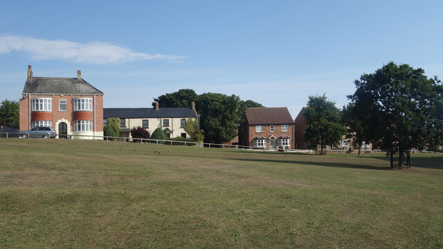
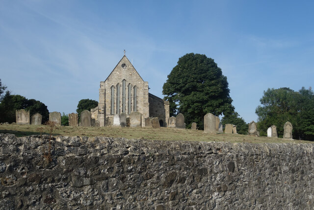
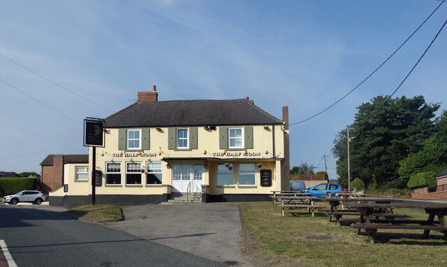
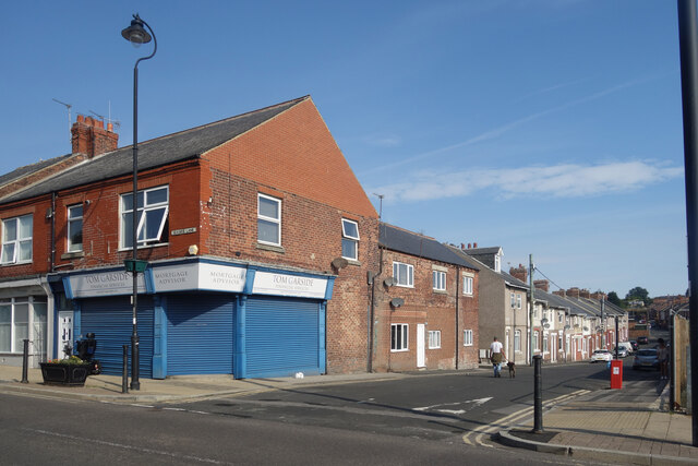
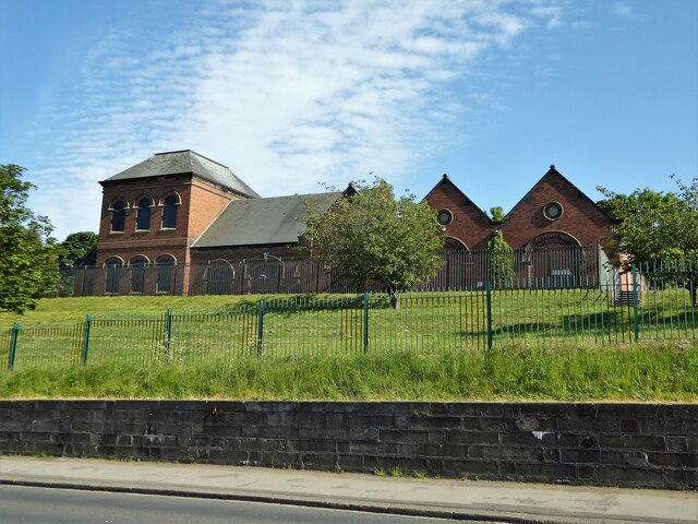
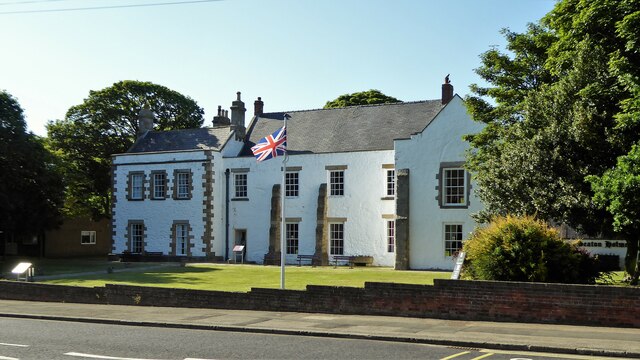
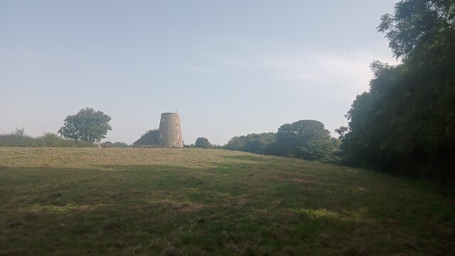
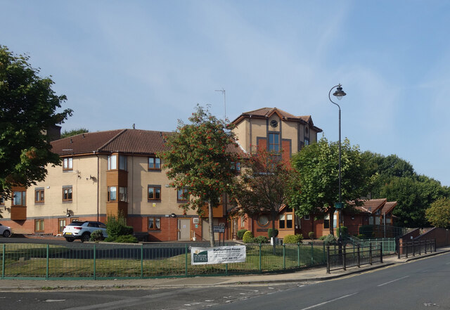
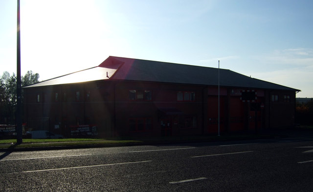
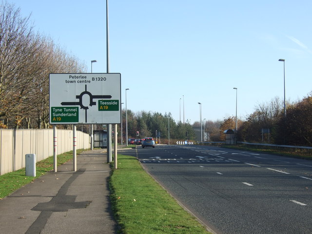
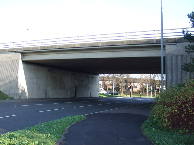
Andrew's Hill Images

Images are sourced within 2km of 54.777041/-1.3537577 or Grid Reference NZ4142. Thanks to Geograph Open Source API. All images are credited.

Outside the Library Looking westwards along Seaside Lane from the steps in front of the library.
A Sunday morning and nobody's about.
Outside the Library
Looking westwards along Seaside Lane from the steps in front of the library. A Sunday morning and nobody's about.
Rutherford House, Seaside Lane The building on the left is retirement housing run by the Durham Aged Miners Homes Association.
Although as the banner on the fence says, it is no longer a requirement to have a connection with coal mining.
Rutherford House, Seaside Lane
The building on the left is retirement housing run by the Durham Aged Miners Homes Association. Although as the banner on the fence says, it is no longer a requirement to have a connection with coal mining.
Shotton Colliery sign on Shotton road
What's wrong with this place? On a grassy bank overlooking the village green, this should surely be one of the best situations in Easington.
But it's an eyesore in the middle of the village, with boarded up windows and tiles coming off the roof.
There must be some serious problems with it.
What's wrong with this place?
On a grassy bank overlooking the village green, this should surely be one of the best situations in Easington. But it's an eyesore in the middle of the village, with boarded up windows and tiles coming off the roof. There must be some serious problems with it.
Flowers on the Railings Smartly painted railings with petunias on top near the parish church.
Flowers on the Railings
Smartly painted railings with petunias on top near the parish church.
Easington Village Green Open space in the centre of the village.
Easington Village Green
Open space in the centre of the village.
The Churchyard Wall St Mary's Church and its churchyard are higher than the road around the outside, with the churchyard behind a solid retaining wall.
This means you can take pictures of the church as if you are looking up from ground level without actually having to lie down.
The Churchyard Wall
St Mary's Church and its churchyard are higher than the road around the outside, with the churchyard behind a solid retaining wall. This means you can take pictures of the church as if you are looking up from ground level without actually having to lie down.
The Half Moon, Easington
Vincent Street, Easington Colliery Street corner with Seaside Lane.
Vincent Street, Easington Colliery
Street corner with Seaside Lane.
Thorpe Pumping Station On Seaside Lane
Thorpe Pumping Station
On Seaside Lane
Seaton Holme An historic property now a visitor centre
Seaton Holme
An historic property now a visitor centre
Jackson's Mill, Easington Current online large-scale maps refer to this eye-catching building as simply 'The Mill'. Historic England - who made it a Grade II listed building in the 1960s - refer to it by its older name though. It appears on Ordnance Survey's first map of here, surveyed in the 1850s; they also refer to the round tower as Jackson's Mill and state that it was used for grinding corn. The small attached more conventional part of the property was added in 1980 and Historic England make clear in their short write-up that this newer part is of no architectural interest whatsoever.  Both the old and new parts are lived in today as part of the same property but it isn't clear whether the old windmill had been used as a home - when it was working or afterwards - before the 1980 revamp.
A neglected footpath leads from the camera location to a gate to the left of the house and then continues to the main road along its driveway.
Jackson's Mill, Easington
Current online large-scale maps refer to this eye-catching building as simply 'The Mill'. Historic England - who made it a Grade II listed building in the 1960s - refer to it by its older name though. It appears on Ordnance Survey's first map of here, surveyed in the 1850s; they also refer to the round tower as Jackson's Mill and state that it was used for grinding corn. The small attached more conventional part of the property was added in 1980 and Historic England make clear in their short write-up that this newer part is of no architectural interest whatsoever. Both the old and new parts are lived in today as part of the same property but it isn't clear whether the old windmill had been used as a home - when it was working or afterwards - before the 1980 revamp. A neglected footpath leads from the camera location to a gate to the left of the house and then continues to the main road along its driveway.
Rutherford House, Easington Colliery Sheltered accommodation for the elderly.
Rutherford House, Easington Colliery
Sheltered accommodation for the elderly.
Peterlee Fire Station
Shotton Road, Peterlee
A19 bridge over the B1320
Cycle path beside the B1320
Trees beside the B1320, Peterlee
Show me another place!

Andrew's Hill is located at Grid Ref: NZ4142 (Lat: 54.777041, Lng: -1.3537577)

Unitary Authority: County Durham

Police Authority: Durham

What 3 Words

///solo.flight.mixed. Near Easington, Co. Durham

Nearby Locations

Mickle Hill Andrew's Hill

Related Wikis

Easington, County Durham

Easington, also known as Easington Village, is a village and civil parish in eastern County Durham, England. It is located at the junction of the A182...

Easington Academy

Easington Academy is a secondary school with academy status located in the village of Easington, County Durham, England. The school was first created as...

Little Thorpe

Little Thorpe is a hamlet in County Durham, England. It is situated between Easington and Peterlee. This small settlement literally derives its name from...

Easington (UK Parliament constituency)

Easington is a constituency created in 1950 represented in the House of Commons of the UK Parliament since 2010 by Grahame Morris of the Labour Party....

Easington District

Easington was, from 1974 to 2009, a local government district in eastern County Durham, England. It contained the settlements of Easington, Seaham, Peterlee...

East Durham College Technical Academy

East Durham College Technical Academy is a construction training college in the North East of England. The College provides training for people who wanted...
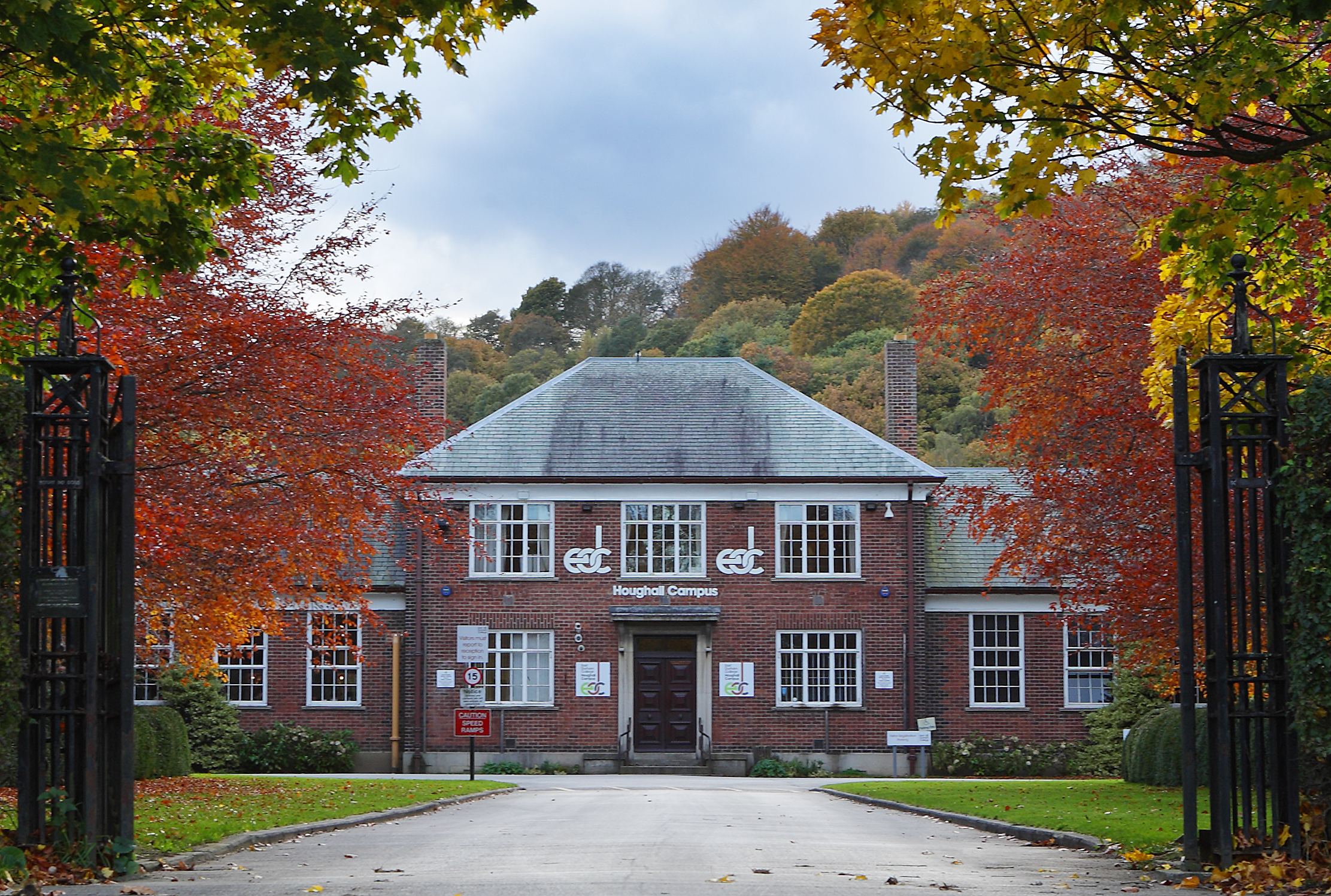
East Durham College

East Durham College, formerly known as East Durham & Houghall Community College, is a community college with campuses in Peterlee and Houghall, south-east...

Easington Greyhound Stadium

Easington Greyhound Stadium, also known as Moorfield Stadium, was a greyhound racing stadium in Sunderland Road, Easington, County Durham. == Origins... ==

Related Videos

bit of a windy one roundabout stealthcamp [Easington village County Durham] stealthcampinguk

back out again for a stealthcamp on a roundabout using the Alpkit Elan hooped bivvy bag cooking burgers and drinking beers ...

~ Walking in Billy Elliot Country ~ Hobnail Boots and Ballet Shoes ~ Part 4 ~

Walking in Billy Elliot Country ~ Hobnail Boots and Ballet Shoes ~ A Video Journal ~ Part 4. Written and Presented by Matt Wells.

~ Walking in Billy Elliot Country ~ Hobnail Boots and Ballet Shoes ~ Part 1 ~

Walking in Billy Elliot Country ~ Hobnail Boots and Ballet Shoes ~ A Video Journal ~ Part 1. Written and Presented by Matt Wells.

~ Walking in Billy Elliot Country ~ Hobnail Boots and Ballet Shoes ~ Part 3 ~

Walking in Billy Elliot Country ~ Hobnail Boots and Ballet Shoes ~ A Video Journal ~ Part 3. Written and Presented by Matt Wells.

Nearby Amenities

Located within 500m of 54.777041,-1.3537577
Bus Stop
Post Box
Naptan AtcoCode: 13003514D
Naptan Bearing: SE
Naptan BusStopType: MKD
Naptan CommonName: Post Box
Naptan Indicator: SE-bound
Naptan NaptanCode: duratdam
Naptan Notes: South East of Junction (Roundabout) of B1432 and A1086- Thorpe Road (A1086)- Easington
Naptan RevisionNumber: 3
Naptan Street: A1086 Thorpe Road
Naptan Verified: no
Old Name: Bus stop
Shelter: yes
Source: naptan_import
Lat/Long: 54.778383/-1.3466147
Bus Stop
Post Box
Naptan AtcoCode: 13003514H
Naptan Bearing: NW
Naptan BusStopType: MKD
Naptan CommonName: Post Box
Naptan Indicator: NW-bound
Naptan NaptanCode: duratdap
Naptan Notes: Opposite Briarwood (House Name)- Thorpe Road (A1086)- Easington
Naptan RevisionNumber: 3
Naptan Street: A1086 Thorpe Road
Naptan Verified: no
Old Name: Bus stop
Shelter: yes
Source: naptan_import
Lat/Long: 54.7779486/-1.3464492
Crossing
Crossing: unmarked
Lat/Long: 54.7786697/-1.3494497
Crossing
Crossing: unmarked
Lat/Long: 54.7788054/-1.3494695
Phone
Emergency: phone
Lat/Long: 54.7744465/-1.3584161
Power: pole
Lat/Long: 54.7797942/-1.3594227
The data included in this document is from www.openstreetmap.org. The data is made available under ODbL.

Have you been to Andrew's Hill?

Leave your review of Andrew's Hill below (or comments, questions and feedback).