Mickle Hill

Hill, Mountain in Durham

England

Mickle Hill

West Moor Farm West Moor Farm viewed from Durham Lane (B1283) on the 28th March 2009.
West Moor Farm Credit: Philip Soakell

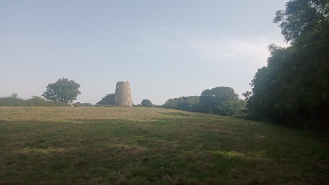
Mickle Hill is a prominent hill located in the county of Durham, England. Situated near the village of Langley Moor, it stands at an elevation of approximately 246 meters (807 feet), making it one of the highest points in the region. The hill is part of the larger Pennines range, known for its picturesque landscapes and scenic views.

Mickle Hill is renowned for its natural beauty and serves as a popular destination for outdoor enthusiasts and hikers. The hill is covered in lush greenery, including patches of woodland, making it an ideal spot for nature walks and exploration. Visitors can enjoy the tranquility of the area, taking in the fresh air and stunning vistas that stretch as far as the eye can see.

At the summit of Mickle Hill, there is a trig point that offers panoramic views of the surrounding countryside. On a clear day, visitors can admire the rolling hills, valleys, and the distant Pennine range. The hill's location also provides a vantage point for observing wildlife, including birds of prey that glide through the skies.

Mickle Hill is easily accessible by foot, with several footpaths and trails leading to its summit. The area is well-maintained, ensuring a safe and enjoyable experience for all visitors. Whether it's a leisurely stroll or a more challenging hike, Mickle Hill offers something for everyone, making it a must-visit destination for nature lovers and those seeking a peaceful retreat in the heart of Durham.

If you have any feedback on the listing, please let us know in the comments section below.
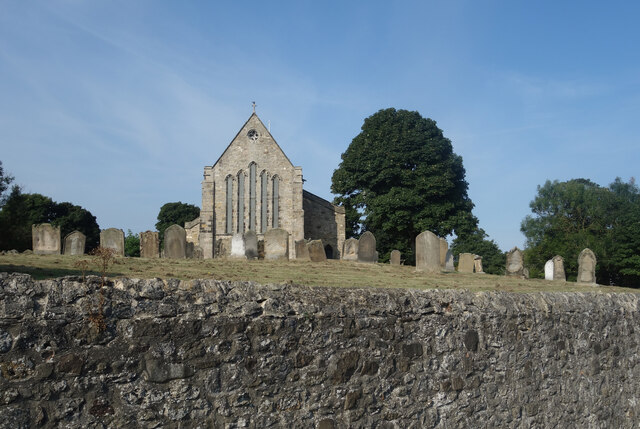
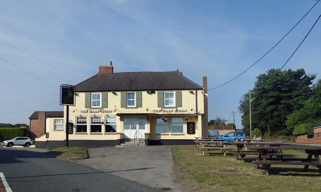
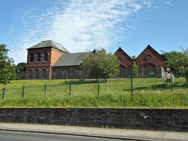
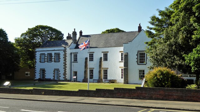
Mickle Hill Images

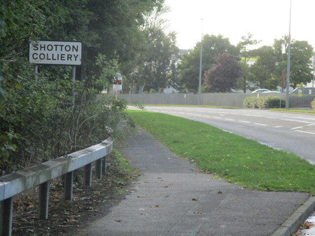
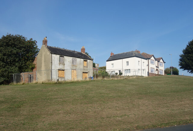
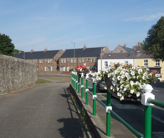
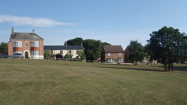
Images are sourced within 2km of 54.77367/-1.3553348 or Grid Reference NZ4142. Thanks to Geograph Open Source API. All images are credited.

West Moor Farm West Moor Farm viewed from Durham Lane (B1283) on the 28th March 2009.
West Moor Farm
West Moor Farm viewed from Durham Lane (B1283) on the 28th March 2009.
Shotton Colliery sign on Shotton road
What's wrong with this place? On a grassy bank overlooking the village green, this should surely be one of the best situations in Easington.
But it's an eyesore in the middle of the village, with boarded up windows and tiles coming off the roof.
There must be some serious problems with it.
What's wrong with this place?
On a grassy bank overlooking the village green, this should surely be one of the best situations in Easington. But it's an eyesore in the middle of the village, with boarded up windows and tiles coming off the roof. There must be some serious problems with it.
Flowers on the Railings Smartly painted railings with petunias on top near the parish church.
Flowers on the Railings
Smartly painted railings with petunias on top near the parish church.
Easington Village Green Open space in the centre of the village.
Easington Village Green
Open space in the centre of the village.
The Churchyard Wall St Mary's Church and its churchyard are higher than the road around the outside, with the churchyard behind a solid retaining wall.
This means you can take pictures of the church as if you are looking up from ground level without actually having to lie down.
The Churchyard Wall
St Mary's Church and its churchyard are higher than the road around the outside, with the churchyard behind a solid retaining wall. This means you can take pictures of the church as if you are looking up from ground level without actually having to lie down.
The Half Moon, Easington
Thorpe Pumping Station On Seaside Lane
Thorpe Pumping Station
On Seaside Lane
Seaton Holme An historic property now a visitor centre
Seaton Holme
An historic property now a visitor centre
Jackson's Mill, Easington Current online large-scale maps refer to this eye-catching building as simply 'The Mill'. Historic England - who made it a Grade II listed building in the 1960s - refer to it by its older name though. It appears on Ordnance Survey's first map of here, surveyed in the 1850s; they also refer to the round tower as Jackson's Mill and state that it was used for grinding corn. The small attached more conventional part of the property was added in 1980 and Historic England make clear in their short write-up that this newer part is of no architectural interest whatsoever.  Both the old and new parts are lived in today as part of the same property but it isn't clear whether the old windmill had been used as a home - when it was working or afterwards - before the 1980 revamp.
A neglected footpath leads from the camera location to a gate to the left of the house and then continues to the main road along its driveway.
Jackson's Mill, Easington
Current online large-scale maps refer to this eye-catching building as simply 'The Mill'. Historic England - who made it a Grade II listed building in the 1960s - refer to it by its older name though. It appears on Ordnance Survey's first map of here, surveyed in the 1850s; they also refer to the round tower as Jackson's Mill and state that it was used for grinding corn. The small attached more conventional part of the property was added in 1980 and Historic England make clear in their short write-up that this newer part is of no architectural interest whatsoever. Both the old and new parts are lived in today as part of the same property but it isn't clear whether the old windmill had been used as a home - when it was working or afterwards - before the 1980 revamp. A neglected footpath leads from the camera location to a gate to the left of the house and then continues to the main road along its driveway.
Westmoor Farm from Durham Lane
Memorial Pit Wheel Shotton Colliery Pit wheel with names of miners killed in the pit at Shotton Colliery
Memorial Pit Wheel Shotton Colliery
Pit wheel with names of miners killed in the pit at Shotton Colliery
Industrial unit, Shotton Colliery
Houses on Shotton Road
Whitehouse Industrial Park
Traynor Way towards Shotton Road
Shotton Road heading east
Peterlee Fire Station
Show me another place!

Mickle Hill is located at Grid Ref: NZ4142 (Lat: 54.77367, Lng: -1.3553348)

Unitary Authority: County Durham

Police Authority: Durham

What 3 Words

///margin.punch.soon. Near Easington, Co. Durham

Nearby Locations

Andrew's Hill Mickle Hill

Related Wikis

Easington, County Durham

Easington, also known as Easington Village, is a village and civil parish in eastern County Durham, England. It is located at the junction of the A182...

Little Thorpe

Little Thorpe is a hamlet in County Durham, England. It is situated between Easington and Peterlee. This small settlement literally derives its name from...

Easington Academy

Easington Academy is a secondary school with academy status located in the village of Easington, County Durham, England. The school was first created as...

East Durham College Technical Academy

East Durham College Technical Academy is a construction training college in the North East of England. The College provides training for people who wanted...

Nearby Amenities

Located within 500m of 54.77367,-1.3553348
Motorway Junction
Peterlee Roundabout
Lat/Long: 54.7694996/-1.357246
Bus Stop
Nottingham Place
Bus: yes
Naptan AtcoCode: 13003248C
Naptan Bearing: E
Naptan CommonName: Nottingham Place
Naptan Indicator: east bound
Naptan Landmark: opposite junction with Nottingham Place
Naptan NaptanCode: durapjmg
Naptan Street: Lowhills Road
Naptan Verified: no
Public Transport: platform
Source: naptan_import
Lat/Long: 54.7706331/-1.3497692
Bus Stop
Westmorland Rise
Bus: yes
Naptan AtcoCode: 13003249B
Naptan Bearing: NE
Naptan CommonName: Westmorland Rise
Naptan Indicator: north east bound
Naptan Landmark: Nr junction with Garside Grove
Naptan NaptanCode: durapjmp
Naptan Street: Lowhills Road
Naptan Verified: no
Public Transport: platform
Source: naptan_import
Lat/Long: 54.7705641/-1.3536875
Bus Stop
Westmorland Rise
Bus: yes
Naptan AtcoCode: 13003249F
Naptan Bearing: SW
Naptan CommonName: Westmorland Rise
Naptan Indicator: south west bound
Naptan Landmark: Near Westmorland Rise
Naptan NaptanCode: durapjmt
Naptan Street: Lowhills Road
Naptan Verified: no
Public Transport: platform
Source: naptan_import
Lat/Long: 54.7704146/-1.3542961
Bus Stop
Mill Hill (Cummins)
Bus: yes
Naptan AtcoCode: 13003251E
Naptan Bearing: S
Naptan CommonName: Mill Hill (Cummins)
Naptan Indicator: south bound
Naptan Landmark: North of junction with Davy Drive
Naptan NaptanCode: durapjpd
Naptan Street: Mill Hill
Naptan Verified: no
Public Transport: platform
Source: naptan_import
Lat/Long: 54.770399/-1.3598302
Phone
Emergency: phone
Lat/Long: 54.7744465/-1.3584161
Power: pole
Lat/Long: 54.7729146/-1.3481641
Power: pole
Lat/Long: 54.7725765/-1.349709
Power: pole
Lat/Long: 54.7722377/-1.3512272
Power: pole
Lat/Long: 54.772175/-1.3529424
Power: pole
Lat/Long: 54.7721062/-1.3545813
Power: tower
Lat/Long: 54.7720497/-1.3561651
Power: tower
Lat/Long: 54.7722207/-1.3561785
Power: pole
Lat/Long: 54.7722787/-1.3546684
Power: pole
Lat/Long: 54.7723437/-1.3529371
Power: pole
Lat/Long: 54.7724079/-1.351313
Power: pole
Lat/Long: 54.7727436/-1.3497949
Power: pole
Lat/Long: 54.7730794/-1.3482446
Barrier: block
Lat/Long: 54.7725799/-1.362369
Generator Method: photovoltaic
Generator Output Electricity: yes
Generator Source: solar
Generator Type: solar_photovoltaic_panel
Location: roof
Power: generator
Lat/Long: 54.7694442/-1.3553618
The data included in this document is from www.openstreetmap.org. The data is made available under ODbL.

Have you been to Mickle Hill?

Leave your review of Mickle Hill below (or comments, questions and feedback).