Owlthorpe Hill

Hill, Mountain in Derbyshire

England

Owlthorpe Hill

A6135 Moor Valley, at Moor Valley Close
A6135 Moor Valley, at Moor Valley Close Credit: Colin Pyle

Owlthorpe Hill is a prominent natural feature located in Derbyshire, England. Situated in the eastern part of the county, it is part of the larger area known as the Peak District National Park. Despite its modest elevation, Owlthorpe Hill stands at approximately 270 meters (886 feet) above sea level, making it a notable spot for hikers and nature enthusiasts.

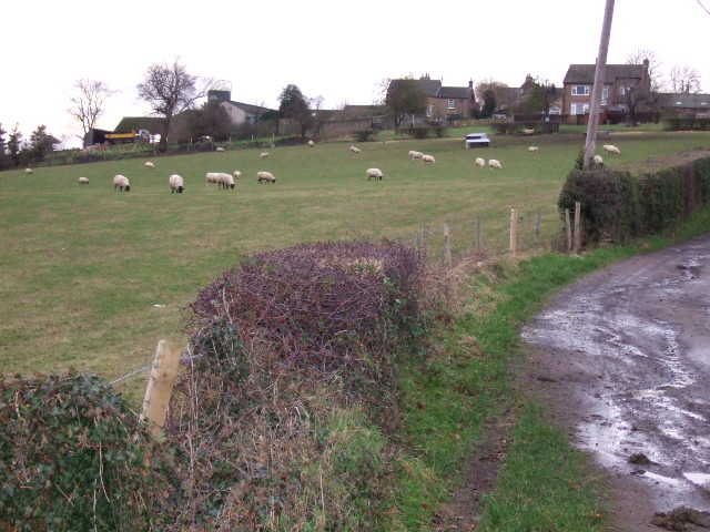
The hill is characterized by its gently sloping terrain and lush vegetation, which primarily consists of grasses, heather, and scattered trees. Its summit offers panoramic views of the surrounding countryside, including picturesque valleys, rolling hills, and the distant peaks of the Peak District. On a clear day, it is possible to see as far as the neighboring counties of South Yorkshire and Nottinghamshire.

Owlthorpe Hill is a popular destination for outdoor activities such as walking, hiking, and birdwatching. Its diverse ecosystem attracts a variety of bird species, including the Eurasian curlew, lapwing, and skylark. Additionally, the hill is home to several mammals, including rabbits, foxes, and occasionally deer.

The area surrounding Owlthorpe Hill is dotted with charming villages and historic sites, adding to its allure as a tourist destination. Visitors can explore nearby attractions such as the famous Chatsworth House, Haddon Hall, and the historic market town of Bakewell.

Overall, Owlthorpe Hill offers a serene and picturesque setting, allowing visitors to immerse themselves in the natural beauty of the Derbyshire countryside.

If you have any feedback on the listing, please let us know in the comments section below.

Owlthorpe Hill Images

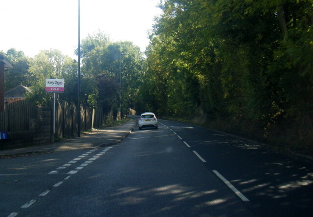
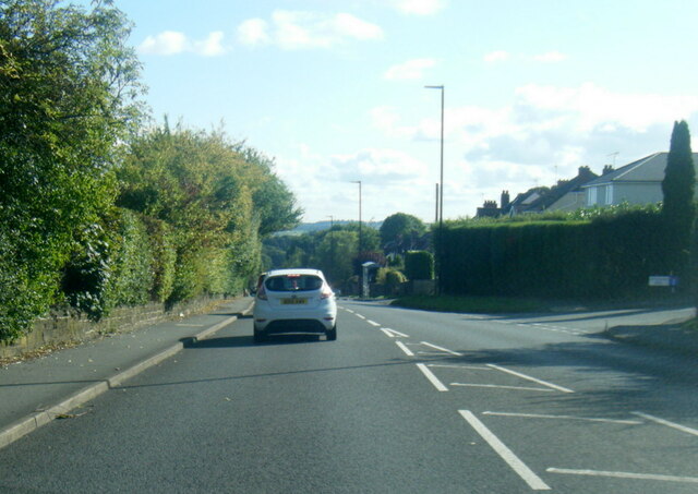
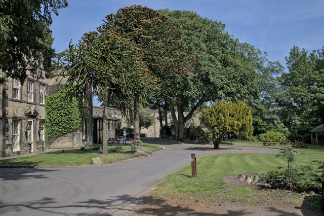
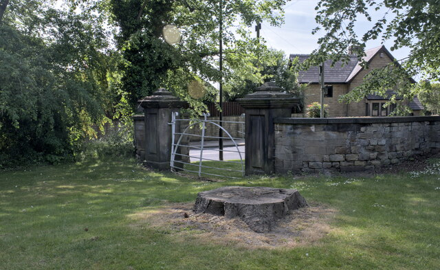
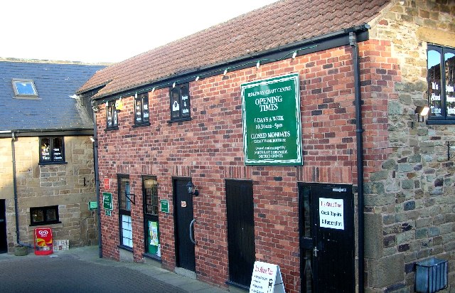
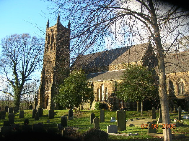
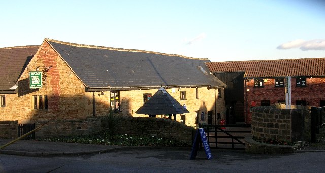
Images are sourced within 2km of 53.332925/-1.3756156 or Grid Reference SK4181. Thanks to Geograph Open Source API. All images are credited.

A6135 Moor Valley, at Moor Valley Close
A6135 at Owlthorpe Rise
Mosborough Hall Hotel A 17th century house, now a hotel.  There is another building nearby called Mosborough Hall, confusion is easy.  This one is the hotel.

This is a grade II listed building - see <span class="nowrap"><a title="https://historicengland.org.uk/listing/the-list/list-entry/1255139?section=official-list-entry" rel="nofollow ugc noopener" href="https://historicengland.org.uk/listing/the-list/list-entry/1255139?section=official-list-entry">Link</a><img style="margin-left:2px;" alt="External link" title="External link - shift click to open in new window" src="https://s1.geograph.org.uk/img/external.png" width="10" height="10"/></span>.  The hotel's own web site traces the history back to the 12th century, but not in this building. - <span class="nowrap"><a title="https://www.mosboroughhall.co.uk/about-us/our-history" rel="nofollow ugc noopener" href="https://www.mosboroughhall.co.uk/about-us/our-history">Link</a><img style="margin-left:2px;" alt="External link" title="External link - shift click to open in new window" src="https://s1.geograph.org.uk/img/external.png" width="10" height="10"/></span>
Mosborough Hall Hotel
A 17th century house, now a hotel. There is another building nearby called Mosborough Hall, confusion is easy. This one is the hotel. This is a grade II listed building - see LinkExternal link. The hotel's own web site traces the history back to the 12th century, but not in this building. - LinkExternal link
The South Frontage The south frontage of Mosborough Hall Hotel, as described in the Historic England listing.  This is a grade II listed building - see <span class="nowrap"><a title="https://historicengland.org.uk/listing/the-list/list-entry/1255139?section=official-list-entry" rel="nofollow ugc noopener" href="https://historicengland.org.uk/listing/the-list/list-entry/1255139?section=official-list-entry">Link</a><img style="margin-left:2px;" alt="External link" title="External link - shift click to open in new window" src="https://s1.geograph.org.uk/img/external.png" width="10" height="10"/></span>.  

The hotel's own web site traces the history back to the 12th century, but not in this building. - <span class="nowrap"><a title="https://www.mosboroughhall.co.uk/about-us/our-history" rel="nofollow ugc noopener" href="https://www.mosboroughhall.co.uk/about-us/our-history">Link</a><img style="margin-left:2px;" alt="External link" title="External link - shift click to open in new window" src="https://s1.geograph.org.uk/img/external.png" width="10" height="10"/></span>
The South Frontage
The south frontage of Mosborough Hall Hotel, as described in the Historic England listing. This is a grade II listed building - see LinkExternal link. The hotel's own web site traces the history back to the 12th century, but not in this building. - LinkExternal link
The crest over the door This is the heraldic device above the french windows in <a href="https://www.geograph.org.uk/photo/7503378">SK4280 : The South Frontage</a>, at Mosborough Hall Hotel.  I have been unable to identify the attribution of this badge.
The crest over the door
This is the heraldic device above the french windows in SK4280 : The South Frontage, at Mosborough Hall Hotel. I have been unable to identify the attribution of this badge.
Mosborough Hall Hotel This is a grade II listed building - see <span class="nowrap"><a title="https://historicengland.org.uk/listing/the-list/list-entry/1255139?section=official-list-entry" rel="nofollow ugc noopener" href="https://historicengland.org.uk/listing/the-list/list-entry/1255139?section=official-list-entry">Link</a><img style="margin-left:2px;" alt="External link" title="External link - shift click to open in new window" src="https://s1.geograph.org.uk/img/external.png" width="10" height="10"/></span>.
Mosborough Hall Hotel
This is a grade II listed building - see LinkExternal link.
Entrance gateway No longer in use, this gateway is grade II listed in its own right - see <span class="nowrap"><a title="https://historicengland.org.uk/listing/the-list/list-entry/1255082" rel="nofollow ugc noopener" href="https://historicengland.org.uk/listing/the-list/list-entry/1255082">Link</a><img style="margin-left:2px;" alt="External link" title="External link - shift click to open in new window" src="https://s1.geograph.org.uk/img/external.png" width="10" height="10"/></span> .
Entrance gateway
No longer in use, this gateway is grade II listed in its own right - see LinkExternal link .
Hackenthorpe tram stop
Tram terminus, Halfway The end of the line as far as the Sheffield tram system is concerned. From here, it's about 35 minutes to the City Centre. From this view looking North, down to the right is the road into Killamarsh.
Tram terminus, Halfway
The end of the line as far as the Sheffield tram system is concerned. From here, it's about 35 minutes to the City Centre. From this view looking North, down to the right is the road into Killamarsh.
Signpost, Halfway Yes, it's Halfway, but if it's only half way I don't fancy the rest of the walk to Timbuktu. This sign is lurking behind a new housing development just off the main road between Halfway and Killamarsh and points the way to Arnold Lavers and Morrisons.
Signpost, Halfway
Yes, it's Halfway, but if it's only half way I don't fancy the rest of the walk to Timbuktu. This sign is lurking behind a new housing development just off the main road between Halfway and Killamarsh and points the way to Arnold Lavers and Morrisons.
Alma Inn, Mosborough, Nr Sheffield
Mosborough Methodist Church near Sheffield.
High Street, Mosborough, Nr Sheffield.
Ridgeway Arms, Mosborough Moor, Nr Sheffield.
Parkgate Drive, off Quarry Hill, near Ridgeway.
Ridgeway Craft Centre, Near Sheffield
Ridgeway Church, Near Sheffield.
Ridgeway Craft Centre, Near Sheffield (NE Derbyshire)
Show me another place!

Owlthorpe Hill is located at Grid Ref: SK4181 (Lat: 53.332925, Lng: -1.3756156)

Unitary Authority: Sheffield

Police Authority: South Yorkshire

What 3 Words

///detail.global.pretty. Near Beighton, South Yorkshire

Nearby Locations

Wren Park Owlthorpe Hill

Related Wikis

Mosborough

Mosborough is a village in the City of Sheffield in South Yorkshire, England. Historically part of Derbyshire, the village was named after The Moss river...

Plumbley

Plumbley is a hamlet in the City of Sheffield borough, within the county of South Yorkshire in England. == Location == Plumbley consists of a small scattering...

Christ Church, Hackenthorpe

Christ Church is a church situated in Hackenthorpe, a suburb of the City of Sheffield. It is located on Sheffield road, and was built in 1899. The church...
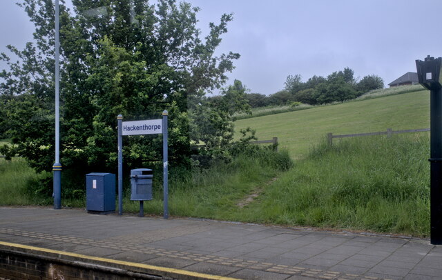
Hackenthorpe

Hackenthorpe is a village 5 miles south east of Sheffield’s city centre, now classed as a historic township of the city. Due to much expansion, the village...

Nearby Amenities

Located within 500m of 53.332925,-1.3756156
Bus Stop
Moor Valley/Quarry Hill
Alt Name: Moor Valley/Quarry Hill
Bus: yes
Naptan AltCommonName: Moor Valley/Quarry Hill
Naptan AtcoCode: 370021710
Naptan Bearing: N
Naptan CommonName: Moor Valley/Quarry Hill
Naptan Indicator: 21710
Naptan Landmark: The Crofts
Naptan PlusbusZoneRef: ROTHCEN
Naptan Street: Mosborough Moor
Naptan Verified: no
Public Transport: platform
Source: naptan_import
Lat/Long: 53.3331832/-1.3789373
Bus Stop
Mosborough Moor/Quarry Hill
Bus: yes
Naptan AtcoCode: 370021711
Naptan Bearing: N
Naptan CommonName: Mosborough Moor/Quarry Hill
Naptan Indicator: 21711
Naptan Landmark: Ridgeway Arms/The Crofts
Naptan PlusbusZoneRef: ROTHCEN
Naptan Street: Mosborough Moor
Naptan Verified: no
Public Transport: platform
Source: naptan_import
Lat/Long: 53.3327409/-1.3785833
Bus Stop
Mosborough Moor/Owlthorpe Drive
Alt Name: Mosborough Moor/Owlthorpe Drive
Bus: yes
Naptan AltCommonName: Mosborough Moor/Owlthorpe Drive
Naptan AtcoCode: 370021712
Naptan Bearing: N
Naptan CommonName: Mosborough Moor/Owlthorpe Drive
Naptan Indicator: 21712
Naptan Landmark: NEW HOUSES
Naptan PlusbusZoneRef: ROTHCEN
Naptan Street: Mosborough Moor
Naptan Verified: no
Public Transport: platform
Source: naptan_import
Lat/Long: 53.3318155/-1.37696
Bus Stop
Mosborough Moor/Owlthorpe Rise
Alt Name: Mosborough Moor/Owlthorpe Rise
Bus: yes
Naptan AltCommonName: Mosborough Moor/Owlthorpe Rise
Naptan AtcoCode: 370021713
Naptan Bearing: SE
Naptan CommonName: Mosborough Moor/Owlthorpe Rise
Naptan Indicator: 21713
Naptan Landmark: Opposite Footpath
Naptan PlusbusZoneRef: ROTHCEN
Naptan Street: Mosborough Moor
Naptan Verified: no
Public Transport: platform
Source: naptan_import
Lat/Long: 53.3306831/-1.3735679
Bus Stop
Mosborough Moor/Owlthorpe Rise
Alt Name: Mosborough Moor/Owlthorpe Rise
Bus: yes
Naptan AltCommonName: Mosborough Moor/Owlthorpe Rise
Naptan AtcoCode: 370021714
Naptan Bearing: NW
Naptan CommonName: Mosborough Moor/Owlthorpe Rise
Naptan Indicator: 21714
Naptan Landmark: Footpath
Naptan PlusbusZoneRef: ROTHCEN
Naptan Street: Mosborough Moor
Naptan Verified: no
Public Transport: platform
Source: naptan_import
Lat/Long: 53.3305029/-1.3734804
Bus Stop
Mosborough Moor/Moor Farm Avenue
Alt Name: Mosborough Moor/Moor Farm Avenue
Bus: yes
Naptan AltCommonName: Mosborough Moor/Moor Farm Avenue
Naptan AtcoCode: 370021715
Naptan Bearing: SE
Naptan CommonName: Mosborough Moor/Moor Farm Avenue
Naptan Indicator: 21715
Naptan Landmark: Opposite Glen Finart
Naptan PlusbusZoneRef: ROTHCEN
Naptan Street: Mosborough Moor
Naptan Verified: no
Public Transport: platform
Source: naptan_import
Lat/Long: 53.3297615/-1.3709536
Quarry Hill/Moor Valley
Naptan AtcoCode: 370027196
Naptan Bearing: SW
Naptan BusStopType: CUS
Naptan CommonName: Quarry Hill/Moor Valley
Naptan Indicator: 27196
Naptan Landmark: 27196
Naptan PlusbusZoneRef: ROTHCEN
Naptan Street: Quarry Hill
Naptan Verified: no
Source: naptan_import
Lat/Long: 53.332928/-1.3800072
Turning Circle
Lat/Long: 53.3330461/-1.3776054
Turning Circle
Lat/Long: 53.3324682/-1.3769924
Turning Circle
Lat/Long: 53.3320711/-1.3762671
Turning Circle
Lat/Long: 53.3300249/-1.3749082
Turning Circle
Lat/Long: 53.329574/-1.375626
Turning Circle
Lat/Long: 53.3309827/-1.3757212
Turning Circle
Lat/Long: 53.3303599/-1.3773504
Turning Circle
Lat/Long: 53.3298319/-1.3764092
Turning Circle
Lat/Long: 53.3304229/-1.3698619
Turning Circle
Source: Bing
Lat/Long: 53.3367267/-1.3761352
Barrier: stile
Lat/Long: 53.3358637/-1.3783568
Turning Circle
Source: Bing
Lat/Long: 53.3353802/-1.3743479
Turning Circle
Source: Bing
Lat/Long: 53.3332951/-1.3809515
Turning Circle
Source: Bing
Lat/Long: 53.333183/-1.3820431
Turning Circle
Lat/Long: 53.3313607/-1.3726896
Turning Circle
Lat/Long: 53.3329023/-1.3780224
Post Box
Collection Times: Mo-Fr 09:00, Sa 07:00
Post Box Type: lamp
Ref: S20 956
Royal Cypher: EIIR
Royal Cypher Wikidata: Q33102113
Lat/Long: 53.33295/-1.3797786
Post Box
Collection Times: Mo-Fr 09:00; Sa 07:00
Post Box Type: wall
Ref: S20 224
Royal Cypher: VR
Royal Cypher Wikidata: Q33102356
Lat/Long: 53.3302974/-1.3724782
Post Box
Collection Times: Mo-Fr 09:00; Sa 07:00
Post Box Type: lamp
Ref: S20 1633D
Royal Cypher: EIIR
Royal Cypher Wikidata: Q33102113
Lat/Long: 53.3363425/-1.3748762
Generator Method: photovoltaic
Generator Output Electricity: yes
Generator Source: solar
Generator Type: solar_photovoltaic_panel
Location: roof
Power: generator
Lat/Long: 53.3330762/-1.3810265
Generator Method: photovoltaic
Generator Output Electricity: yes
Generator Source: solar
Generator Type: solar_photovoltaic_panel
Location: roof
Power: generator
Lat/Long: 53.333829/-1.3816756
Generator Method: photovoltaic
Generator Output Electricity: yes
Generator Source: solar
Generator Type: solar_photovoltaic_panel
Location: roof
Power: generator
Lat/Long: 53.3345114/-1.3811204
Generator Method: photovoltaic
Generator Output Electricity: yes
Generator Source: solar
Generator Type: solar_photovoltaic_panel
Location: roof
Power: generator
Lat/Long: 53.330894/-1.3778186
Generator Method: photovoltaic
Generator Output Electricity: yes
Generator Source: solar
Generator Type: solar_photovoltaic_panel
Location: roof
Power: generator
Lat/Long: 53.3307979/-1.3775101
Generator Method: photovoltaic
Generator Output Electricity: yes
Generator Source: solar
Generator Type: solar_photovoltaic_panel
Location: roof
Power: generator
Lat/Long: 53.3306473/-1.3763327
Generator Method: photovoltaic
Generator Output Electricity: yes
Generator Source: solar
Generator Type: solar_photovoltaic_panel
Location: roof
Power: generator
Lat/Long: 53.3304711/-1.3780573
Generator Method: photovoltaic
Generator Output Electricity: yes
Generator Source: solar
Generator Type: solar_photovoltaic_panel
Location: roof
Power: generator
Lat/Long: 53.3306233/-1.3744149
Generator Method: photovoltaic
Generator Output Electricity: yes
Generator Source: solar
Generator Type: solar_photovoltaic_panel
Location: roof
Power: generator
Lat/Long: 53.3306457/-1.3744658
Generator Method: photovoltaic
Generator Output Electricity: yes
Generator Source: solar
Generator Type: solar_photovoltaic_panel
Location: roof
Power: generator
Lat/Long: 53.3303878/-1.3736612
Generator Method: photovoltaic
Generator Output Electricity: yes
Generator Source: solar
Generator Type: solar_photovoltaic_panel
Location: roof
Power: generator
Lat/Long: 53.3306201/-1.3750559
Defibrillator
Access: yes
Check Date: 2023-03-09
Defibrillator Location: On fence.
Emergency: defibrillator
Indoor: no
Opening Hours: 24/7
Lat/Long: 53.3299995/-1.3715238
Bench
Backrest: no
Lat/Long: 53.3319572/-1.3719886
Bench
Backrest: no
Lat/Long: 53.332049/-1.3719581
Watering Place
Lat/Long: 53.3345512/-1.3793935
Noexit: yes
Lat/Long: 53.3356572/-1.3736103
Bench
Backrest: no
Lat/Long: 53.3355432/-1.3732099
Grit Bin
Operator: Sheffield City Council
Operator Type: government
Operator Wikidata: Q7492609
Seasonal: no
Lat/Long: 53.3360267/-1.3771321
Grit Bin
Operator: Sheffield City Council
Operator Type: government
Operator Wikidata: Q7492609
Seasonal: no
Lat/Long: 53.3307595/-1.3771787
Grit Bin
Operator: Sheffield City Council
Operator Type: government
Operator Wikidata: Q7492609
Seasonal: no
Lat/Long: 53.3303455/-1.3753529
Grit Bin
Operator: Sheffield City Council
Operator Type: government
Operator Wikidata: Q7492609
Seasonal: no
Lat/Long: 53.3358062/-1.3762193
Grit Bin
Operator: Sheffield City Council
Operator Type: government
Operator Wikidata: Q7492609
Seasonal: no
Lat/Long: 53.3345302/-1.3814937
Grit Bin
Operator: Sheffield City Council
Operator Type: government
Operator Wikidata: Q7492609
Seasonal: no
Lat/Long: 53.3316144/-1.3773615
Grit Bin
Operator: Sheffield City Council
Operator Type: government
Operator Wikidata: Q7492609
Seasonal: no
Lat/Long: 53.3313864/-1.3750224
Grit Bin
Operator: Sheffield City Council
Operator Type: government
Operator Wikidata: Q7492609
Seasonal: no
Lat/Long: 53.3331485/-1.3819792
Grit Bin
Operator: Sheffield City Council
Operator Type: government
Operator Wikidata: Q7492609
Seasonal: no
Lat/Long: 53.3372194/-1.3766041
Grit Bin
Operator: Sheffield City Council
Operator Type: government
Operator Wikidata: Q7492609
Seasonal: no
Lat/Long: 53.3370952/-1.3734823
Grit Bin
Operator: Sheffield City Council
Operator Type: government
Operator Wikidata: Q7492609
Seasonal: no
Lat/Long: 53.3329077/-1.3806162
Grit Bin
Operator: Sheffield City Council
Operator Type: government
Operator Wikidata: Q7492609
Seasonal: no
Lat/Long: 53.3329646/-1.3794441
Defibrillator
Access: yes
Defibrillator Location: On outside wall of house.
Emergency: defibrillator
Indoor: no
Lat/Long: 53.3342903/-1.3813428
Defibrillator
Access: yes
Defibrillator Location: On a lamp post at the side of the road.
Emergency: defibrillator
Indoor: no
Lat/Long: 53.3362971/-1.3748187
The data included in this document is from www.openstreetmap.org. The data is made available under ODbL.

Have you been to Owlthorpe Hill?

Leave your review of Owlthorpe Hill below (or comments, questions and feedback).