Jack Hill
Hill, Mountain in Yorkshire Harrogate
England
Jack Hill

Jack Hill is a prominent landmark located in the county of Yorkshire, England. Situated in the southern region of the county, Jack Hill is part of the larger Yorkshire Wolds range. While it may be referred to as a hill, its summit actually qualifies it as a mountain, as it stands at an impressive height of 246 meters (807 feet) above sea level.
The hill is characterized by its distinctive cone shape and commanding presence in the surrounding landscape. It is primarily composed of chalk, a sedimentary rock that gives the area its characteristic white appearance. Jack Hill offers breathtaking panoramic views of the surrounding countryside, including the picturesque Yorkshire Wolds, which are known for their rolling hills and sweeping valleys.
The area surrounding Jack Hill is rich in natural beauty and diverse wildlife. Visitors to the hill can expect to encounter a wide variety of flora and fauna, including wildflowers, grasses, and numerous bird species. The hill is also home to a network of walking trails, providing ample opportunities for outdoor enthusiasts to explore the area and take in the stunning views.
Jack Hill holds historical significance as well, with evidence of human habitation dating back thousands of years. Archaeological finds in the area indicate that the site was used for various purposes, including burial grounds and religious rituals.
Overall, Jack Hill in Yorkshire is a captivating destination, offering a blend of natural beauty, historical importance, and recreational opportunities for visitors to enjoy.
If you have any feedback on the listing, please let us know in the comments section below.
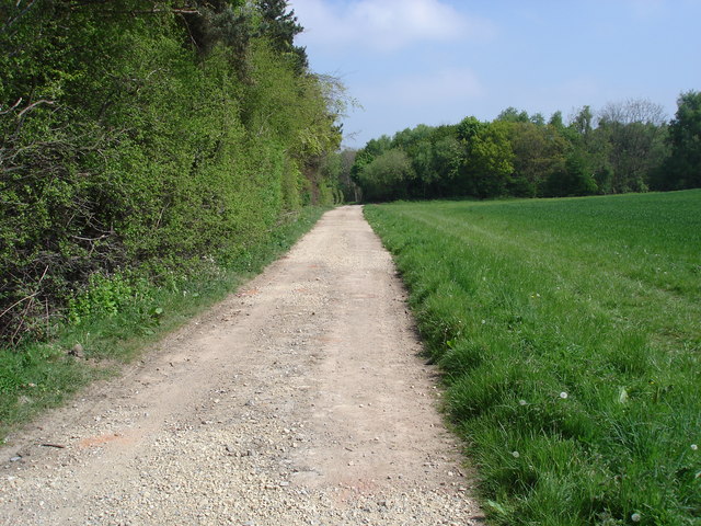
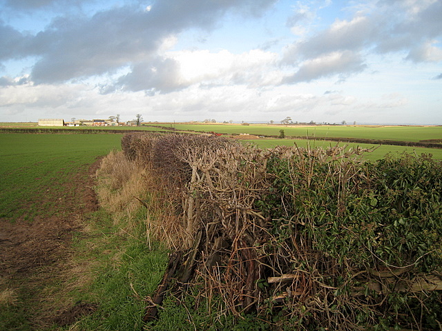
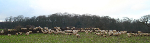
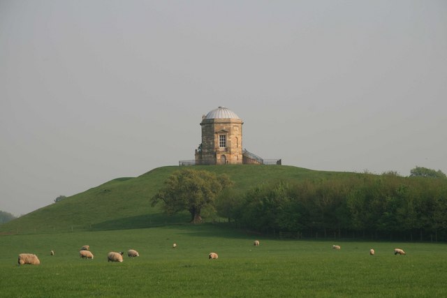
Jack Hill Images
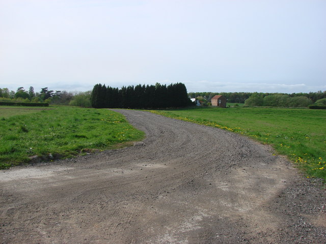
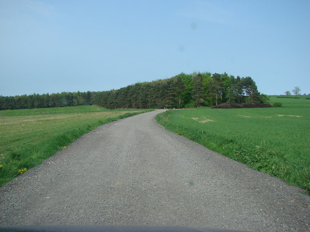
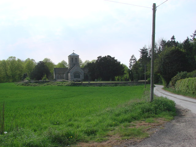
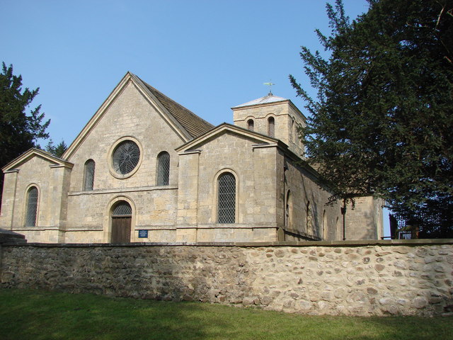
Images are sourced within 2km of 54.029786/-1.3649675 or Grid Reference SE4159. Thanks to Geograph Open Source API. All images are credited.
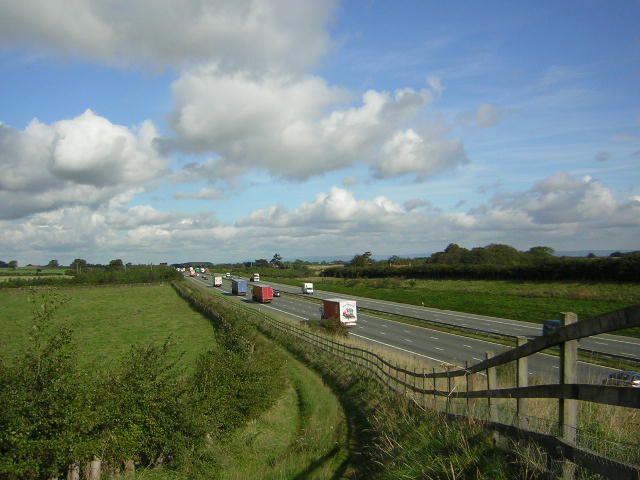
![A168 at Allerton Park The A168 runs parallel with the A1[M] at this point, using the south bound carriageway of the old A1. The wall to the right is the boundary of Allerton Park.](https://s2.geograph.org.uk/geophotos/01/06/31/1063142_0f4233fc.jpg)
Jack Hill is located at Grid Ref: SE4159 (Lat: 54.029786, Lng: -1.3649675)
Division: West Riding
Administrative County: North Yorkshire
District: Harrogate
Police Authority: North Yorkshire
What 3 Words
///aimlessly.crumb.city. Near Boroughbridge, North Yorkshire
Nearby Locations
Related Wikis

Allerton Mauleverer Priory
Allerton Mauleverer Priory was a medieval monastic house in North Yorkshire, England. The site is in Allerton Mauleverer with Hopperton Parish in the Harrogate...

Allerton waste recovery park
Allerton waste recovery park is a waste recovery and incineration site located on a former quarry at Allerton Mauleverer, near Knaresborough, England....

Allerton Castle
Allerton Castle, also known as Allerton Park, is a Grade I listed nineteenth-century Gothic or Victorian Gothic house at Allerton Mauleverer in North Yorkshire...

Allerton Mauleverer
Allerton Mauleverer is a village in North Yorkshire, England. It is part of the Allerton Mauleverer with Hopperton parish. The parish is in the district...
St Martin's Church, Allerton Mauleverer
St Martin's Church is a historic Anglican church in the village of Allerton Mauleverer, North Yorkshire, England. It is recorded in the National Heritage...

Claro Wapentake
Claro was a wapentake of the West Riding of Yorkshire, England. It was split into two divisions. The Upper Division included the parishes of Farnham...
Allerton Mauleverer with Hopperton
Allerton Mauleverer with Hopperton is a civil parish in North Yorkshire, England. At the 2011 Census, the parish had a population of 150, an increase from...

Flaxby
Flaxby is a village and civil parish in the Harrogate district of North Yorkshire, England. It is close to the A1(M) motorway and 2 miles (3.2 km) east...
Nearby Amenities
Located within 500m of 54.029786,-1.3649675Have you been to Jack Hill?
Leave your review of Jack Hill below (or comments, questions and feedback).