Bog Plantation
Wood, Forest in Yorkshire Harrogate
England
Bog Plantation

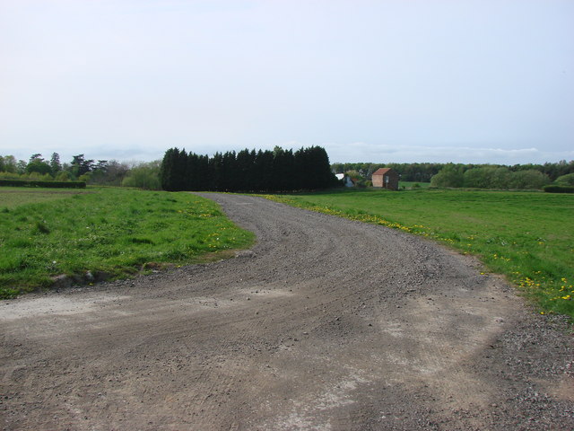
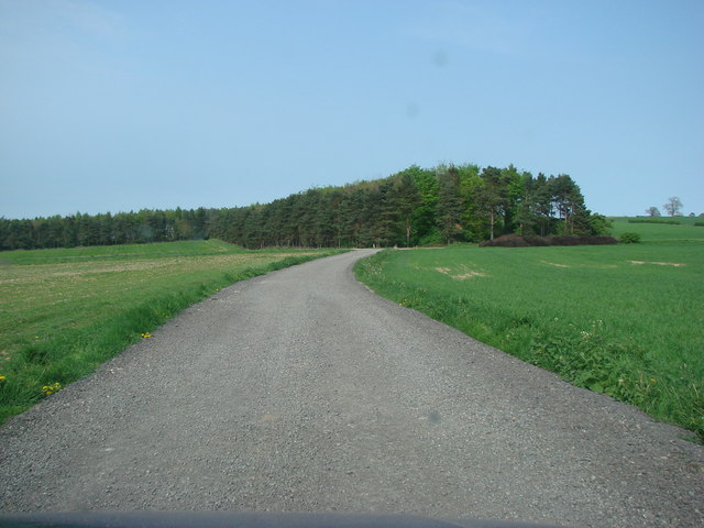
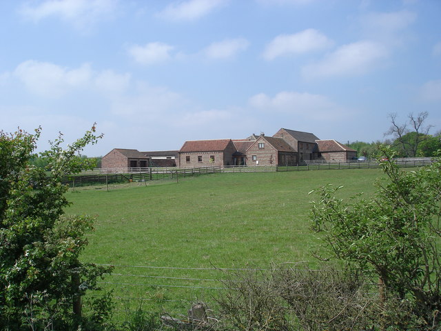
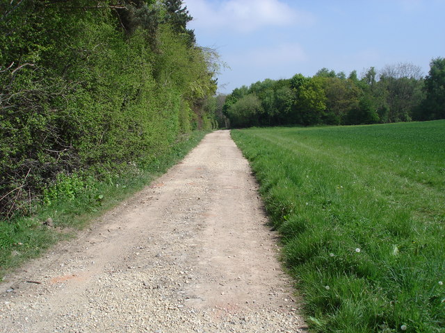
Bog Plantation is a picturesque woodland located in Yorkshire, England. Situated in the heart of the countryside, this wood is renowned for its natural beauty and diverse ecosystem. Spanning over a vast area, Bog Plantation is a haven of tranquility and offers visitors a chance to escape the hustle and bustle of everyday life.
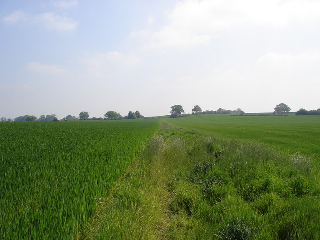
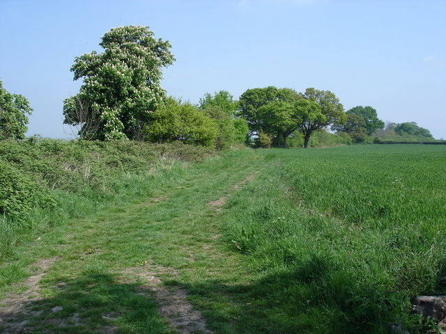
The woodland is characterized by its lush greenery, towering trees, and meandering pathways. It is home to a wide variety of plant species, including oak, beech, and birch, creating a vibrant and colorful landscape throughout the year. These trees provide a habitat for numerous bird species, including woodpeckers, owls, and thrushes, making it a popular spot for birdwatchers and nature enthusiasts.
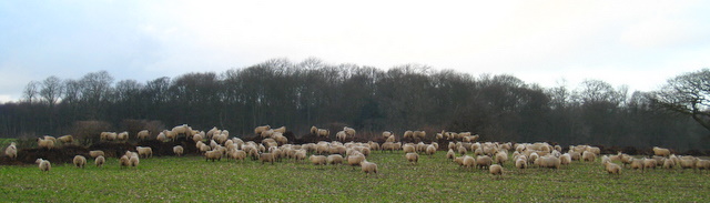
Bog Plantation is also known for its wetland areas, with several ponds and marshes scattered throughout the wood. These wetland habitats support a diverse range of plant and animal life, including frogs, newts, and dragonflies. It is a fascinating place for those interested in studying wetland ecosystems and their role in the environment.
The wood offers a network of well-maintained trails, allowing visitors to explore its hidden gems at their own pace. Whether taking a leisurely stroll or embarking on a more challenging hike, Bog Plantation has something to offer for everyone. It is a popular destination for outdoor activities such as walking, jogging, and photography.
Overall, Bog Plantation is a captivating woodland that showcases the beauty of Yorkshire's natural landscapes. Its rich biodiversity, serene atmosphere, and well-preserved trails make it a must-visit destination for nature lovers and those seeking a peaceful retreat.
If you have any feedback on the listing, please let us know in the comments section below.
Bog Plantation Images
Images are sourced within 2km of 54.031278/-1.3666547 or Grid Reference SE4159. Thanks to Geograph Open Source API. All images are credited.
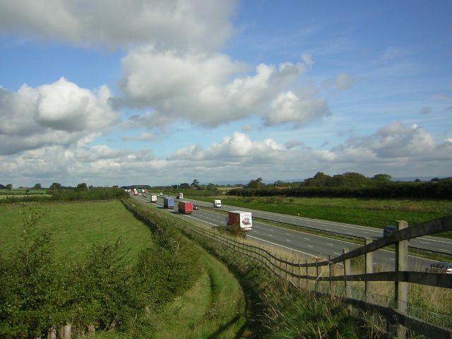
![A168 at Allerton Park The A168 runs parallel with the A1[M] at this point, using the south bound carriageway of the old A1. The wall to the right is the boundary of Allerton Park.](https://s2.geograph.org.uk/geophotos/01/06/31/1063142_0f4233fc.jpg)
Bog Plantation is located at Grid Ref: SE4159 (Lat: 54.031278, Lng: -1.3666547)
Division: West Riding
Administrative County: North Yorkshire
District: Harrogate
Police Authority: North Yorkshire
What 3 Words
///scorpions.newsreel.workbook. Near Boroughbridge, North Yorkshire
Nearby Locations
Related Wikis

Allerton waste recovery park
Allerton waste recovery park is a waste recovery and incineration site located on a former quarry at Allerton Mauleverer, near Knaresborough, England....

Allerton Mauleverer Priory
Allerton Mauleverer Priory was a medieval monastic house in North Yorkshire, England. The site is in Allerton Mauleverer with Hopperton Parish in the Harrogate...

Allerton Castle
Allerton Castle, also known as Allerton Park, is a Grade I listed nineteenth-century Gothic or Victorian Gothic house at Allerton Mauleverer in North Yorkshire...

Allerton Mauleverer
Allerton Mauleverer is a village in North Yorkshire, England. It is part of the Allerton Mauleverer with Hopperton parish. The parish is in the district...
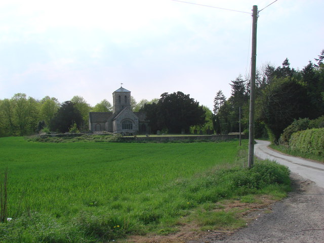
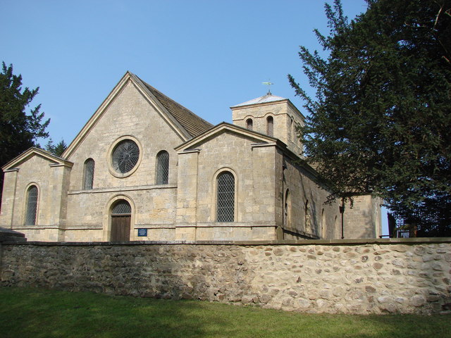
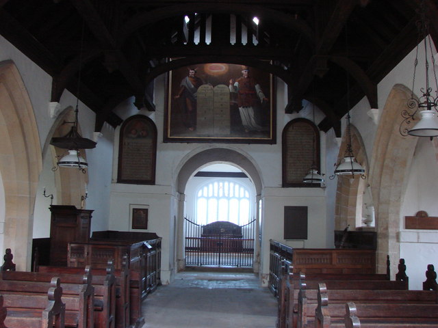
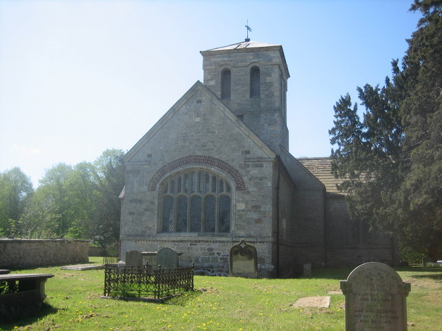
St Martin's Church, Allerton Mauleverer
St Martin's Church is a historic Anglican church in the village of Allerton Mauleverer, North Yorkshire, England. It is recorded in the National Heritage...

Claro Wapentake
Claro was a wapentake of the West Riding of Yorkshire, England. It was split into two divisions. The Upper Division included the parishes of Farnham...
Allerton Mauleverer with Hopperton
Allerton Mauleverer with Hopperton is a civil parish in North Yorkshire, England. At the 2011 Census, the parish had a population of 150, an increase from...

Flaxby
Flaxby is a village and civil parish in the Harrogate district of North Yorkshire, England. It is close to the A1(M) motorway and 2 miles (3.2 km) east...
Nearby Amenities
Located within 500m of 54.031278,-1.3666547Have you been to Bog Plantation?
Leave your review of Bog Plantation below (or comments, questions and feedback).