Nesbister Hill
Hill, Mountain in Shetland
Scotland
Nesbister Hill
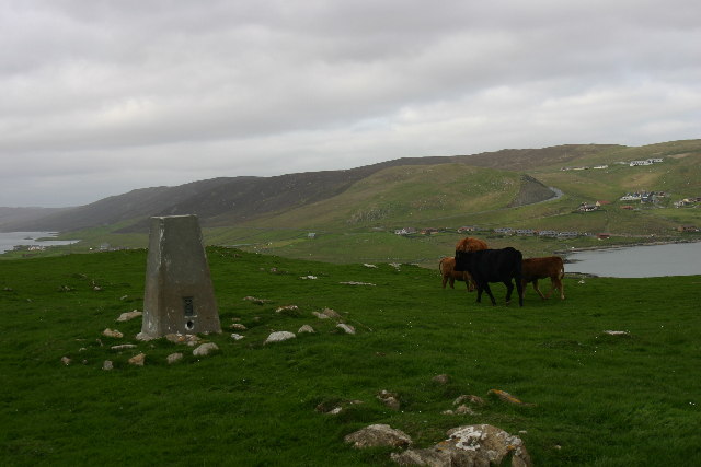
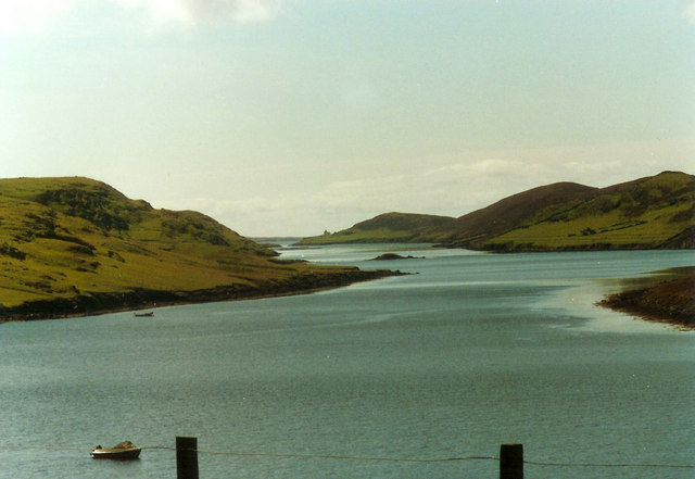
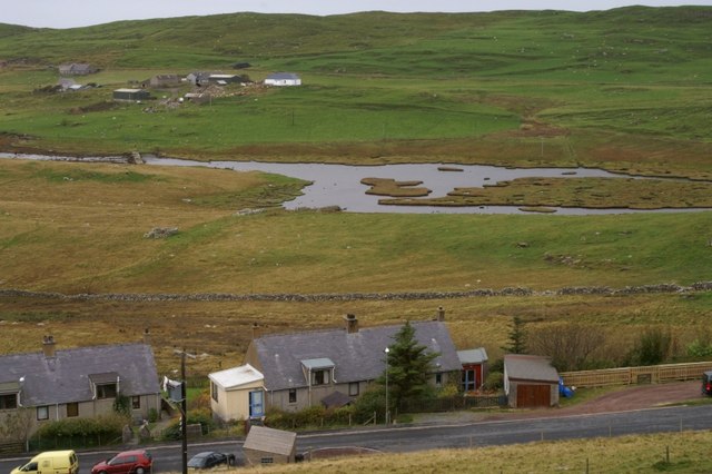
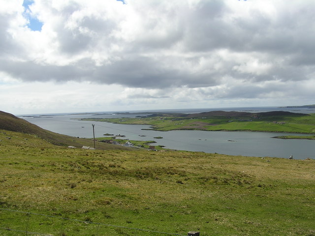
Nesbister Hill is a prominent hill located in the Shetland Islands, Scotland. Situated in the northern part of the archipelago, the hill is part of the hilly landscape that characterizes the region. Nesbister Hill stands at an elevation of approximately 118 meters (387 feet) above sea level, making it a notable landmark in the area.
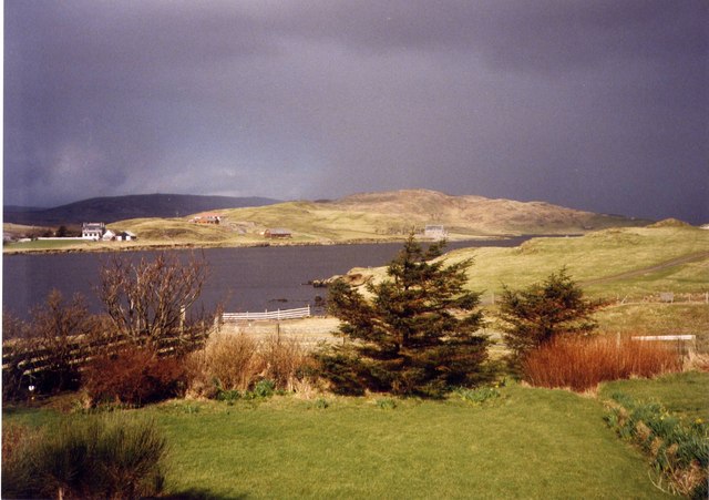
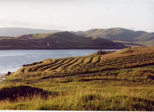
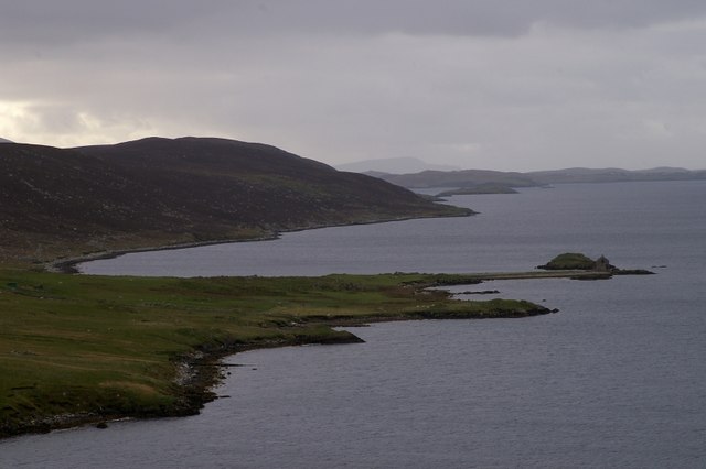
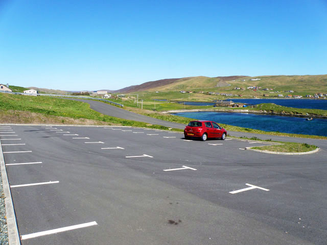
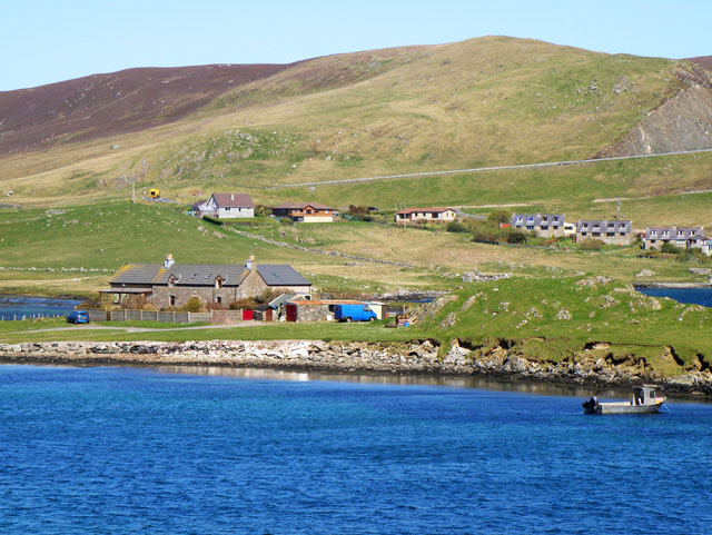
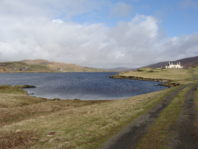
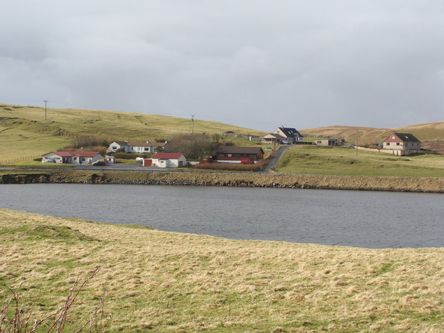
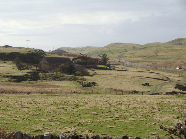
The hill offers picturesque views of the surrounding countryside, with its slopes covered in a patchwork of heather and grasses. It is a popular destination for hikers and nature enthusiasts, who are drawn to its scenic beauty and the opportunity to explore the Shetland countryside.
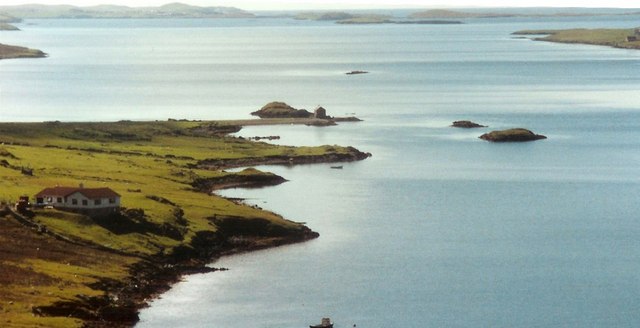
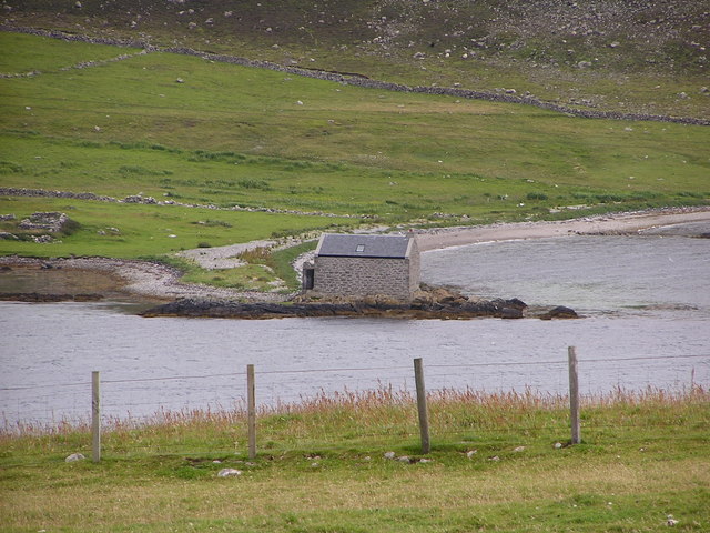
Nesbister Hill is easily accessible, as it is located near the main road network on the island. It is also conveniently situated close to other attractions in the area, such as the nearby Nesbister Burn, a small stream that flows through the hills and adds to the overall charm of the landscape.
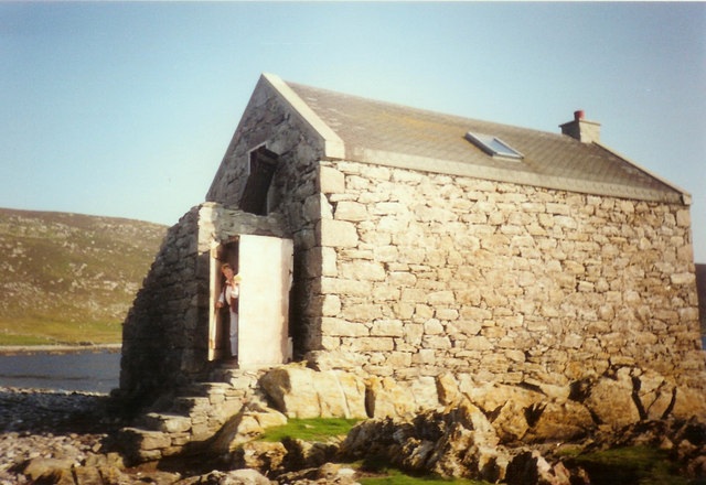
The hill is a haven for wildlife, with various bird species, including the iconic Shetland ponies, found in the vicinity. The area is also known for its rich archaeological history, with several ancient sites and remains scattered across the landscape.
Overall, Nesbister Hill offers visitors a chance to immerse themselves in the natural beauty and tranquility of the Shetland Islands. Its accessibility, stunning views, and diverse wildlife make it a must-visit destination for those exploring the region.
If you have any feedback on the listing, please let us know in the comments section below.
Nesbister Hill Images
Images are sourced within 2km of 60.189599/-1.2776708 or Grid Reference HU4045. Thanks to Geograph Open Source API. All images are credited.
Nesbister Hill is located at Grid Ref: HU4045 (Lat: 60.189599, Lng: -1.2776708)
Unitary Authority: Shetland Islands
Police Authority: Highlands and Islands
What 3 Words
///rotation.papers.newsprint. Near Scalloway, Shetland Islands
Nearby Locations
Related Wikis

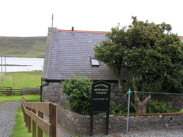
Whiteness, Shetland
Whiteness (Old Norse: Hvitanes, white headland) is a village in Tingwall parish, Shetland Islands, Scotland, on Mainland. It is also an ancient civil parish...

Tingwall Airport
Tingwall Airport (IATA: LWK, ICAO: EGET), also known as Lerwick/Tingwall Airport, is located in the Tingwall valley, near the village of Gott, 4 NM (7...
Setter Hill, Tingwall
Setter Hill is a hill in Tingwall, Shetland, Scotland. == References ==

Hoy, Shetland
Hoy (Háey, Old Norse for 'high island') is a small island in Weisdale Voe, an arm of the sea in the Shetland islands, Scotland. Nearby are the smaller...
Nearby Amenities
Located within 500m of 60.189599,-1.2776708Have you been to Nesbister Hill?
Leave your review of Nesbister Hill below (or comments, questions and feedback).