Primrose Hill
Hill, Mountain in Yorkshire Harrogate
England
Primrose Hill
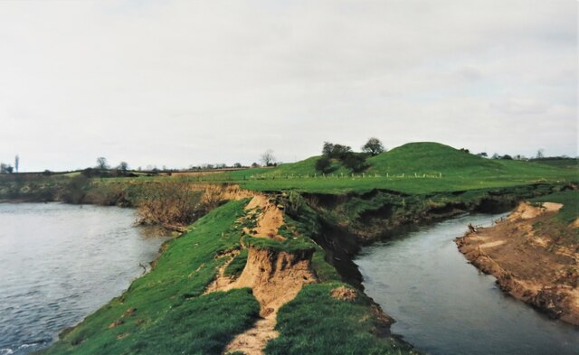
Primrose Hill is a charming hill situated in the picturesque region of Yorkshire, England. With an elevation of approximately 256 meters (840 feet), it is considered more of a hill than a mountain. Located near the village of Pateley Bridge, Primrose Hill offers visitors breathtaking panoramic views of the surrounding countryside.
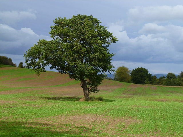
The hill is characterized by its gentle slopes and lush greenery, making it a popular destination for nature enthusiasts and hikers. It is covered in a variety of vegetation, including grasses, wildflowers, and trees, creating a vibrant and colorful landscape throughout the year.
The summit of Primrose Hill provides an ideal vantage point to admire the stunning vistas of the Nidderdale Area of Outstanding Natural Beauty. On a clear day, one can see the rolling hills, meandering rivers, and quaint villages that dot the landscape for miles around. The hill's location also offers visitors the chance to witness spectacular sunrises and sunsets, casting a magical glow over the Yorkshire countryside.
Primrose Hill is a haven for wildlife, attracting an array of birds, butterflies, and small mammals. Birdwatchers will be delighted by the opportunity to spot species such as curlews, lapwings, and red kites soaring through the skies above.
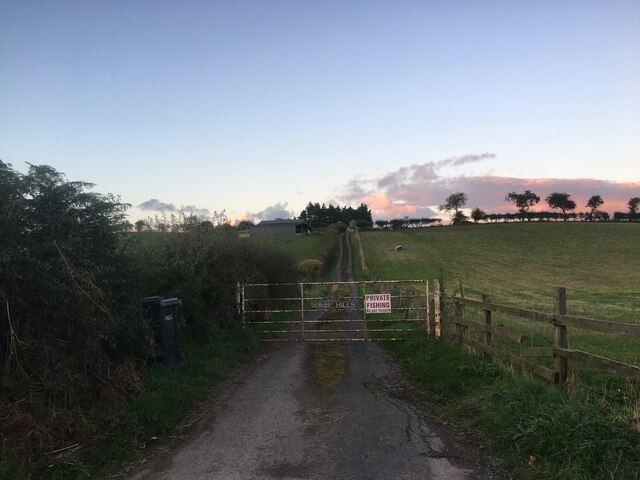
For those seeking outdoor activities, Primrose Hill offers several walking trails and paths, allowing visitors to explore the area at their own pace. The hill is easily accessible, with parking facilities nearby, and is a popular spot for picnics, family outings, and even kite flying.
In conclusion, Primrose Hill in Yorkshire is a tranquil and idyllic destination, offering visitors the chance to immerse themselves in the beauty of nature, while enjoying stunning views and a variety of outdoor activities.
If you have any feedback on the listing, please let us know in the comments section below.
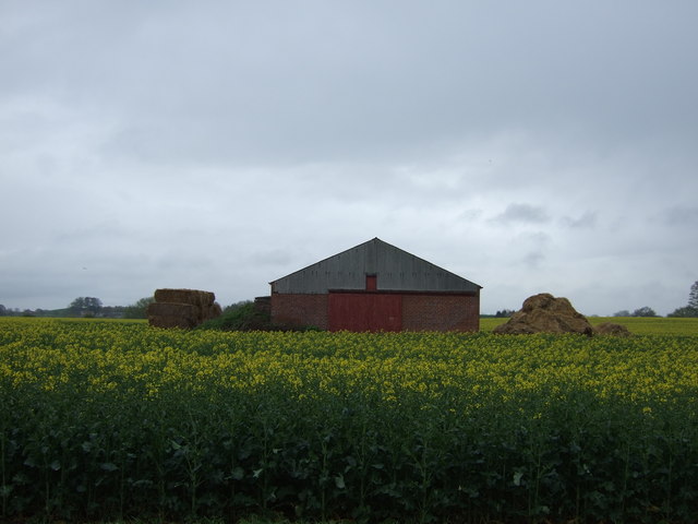
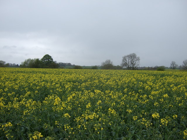
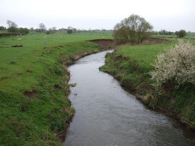
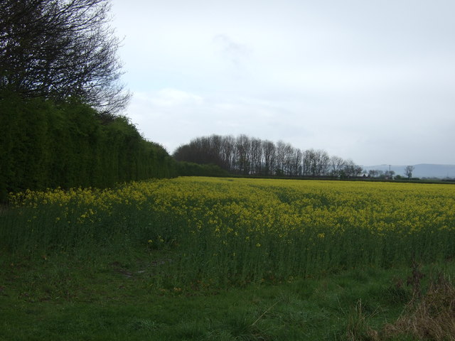
Primrose Hill Images
Images are sourced within 2km of 54.165907/-1.3863964 or Grid Reference SE4074. Thanks to Geograph Open Source API. All images are credited.


Primrose Hill is located at Grid Ref: SE4074 (Lat: 54.165907, Lng: -1.3863964)
Division: North Riding
Administrative County: North Yorkshire
District: Harrogate
Police Authority: North Yorkshire
What 3 Words
///dinner.daunted.panning. Near Thirsk, North Yorkshire
Nearby Locations
Related Wikis

Asenby
Asenby is a village and civil parish in the Harrogate district of North Yorkshire, England, with a population of 285 (2001 census), increasing to 311 at...

Topcliffe Castle
Topcliffe Castle (also known as Maiden's Bower) is an abandoned castle located near the village of Topcliffe, North Yorkshire, England.The castle was built...

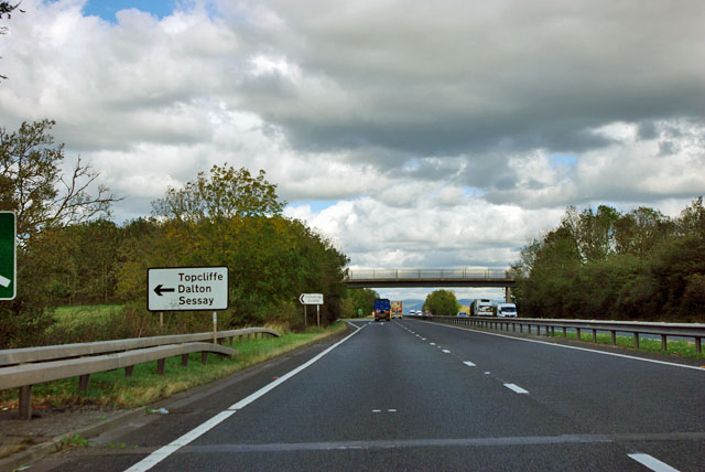
Topcliffe, North Yorkshire
Topcliffe is a village and civil parish in the Hambleton district of North Yorkshire, England. The village is situated on the River Swale, on the A167...

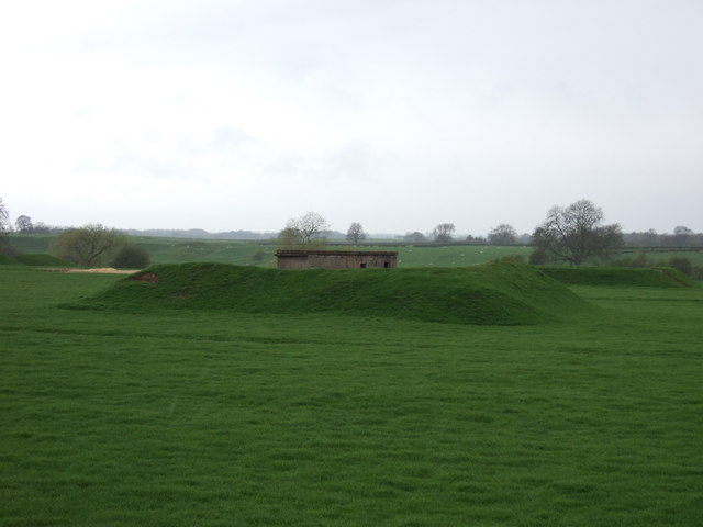
RAF Dalton
Royal Air Force Dalton or more simply RAF Dalton is a former Royal Air Force satellite station located near to Dalton, North Yorkshire, England. The airfield...
Nearby Amenities
Located within 500m of 54.165907,-1.3863964Have you been to Primrose Hill?
Leave your review of Primrose Hill below (or comments, questions and feedback).