South Water of Wormadale

Lake, Pool, Pond, Freshwater Marsh in Shetland

Scotland

South Water of Wormadale

Bod of Nesbister The camping Bod at Nesbister, formerly a fishing station
Bod of Nesbister Credit: Jeremy Duncan

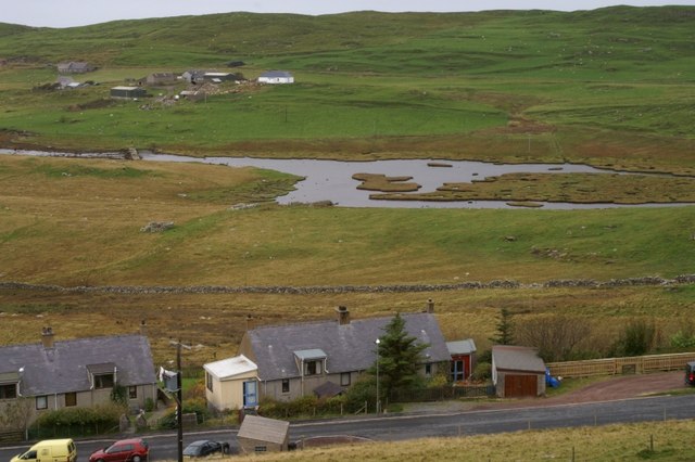
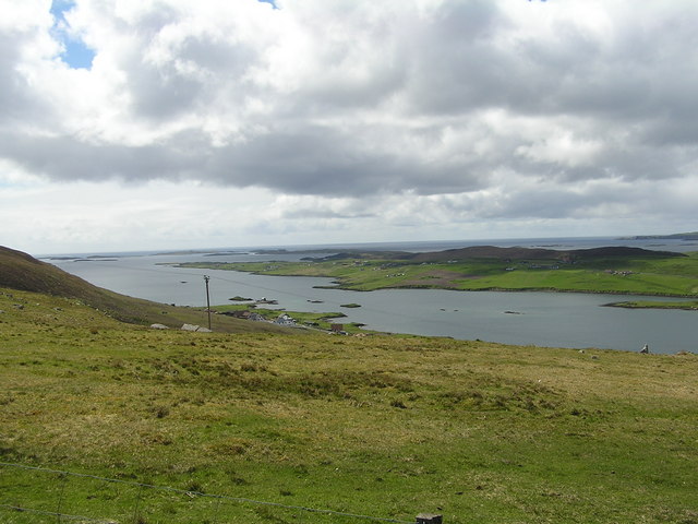
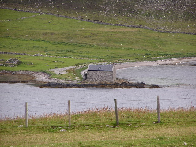
South Water of Wormadale is a small freshwater marsh located in the scenic region of Shetland, Scotland. It is nestled amidst rolling hills and lush greenery, adding to its picturesque beauty. Although often referred to as a lake, pool, or pond, it is technically a marsh or wetland area due to its shallow water and abundant vegetation.

Spanning an area of approximately 2 hectares, South Water of Wormadale is home to a diverse array of plant and animal species. The marsh is characterized by its open water, emergent plants, and floating vegetation, creating a rich and thriving ecosystem. Common plant species found here include water lilies, reeds, rushes, and sedges.

The marsh serves as an important habitat for various bird species, making it a haven for birdwatchers and nature enthusiasts. It attracts a wide range of waterfowl, including mallards, teal, and wigeons, which can be spotted throughout the year. The surrounding vegetation also provides shelter and nesting sites for numerous bird species, such as reed buntings and sedge warblers.

Visitors to South Water of Wormadale can enjoy peaceful walks along the water's edge, taking in the serene atmosphere and breathtaking views. The marsh offers a tranquil escape from the hustle and bustle of everyday life, allowing visitors to connect with nature and appreciate the beauty of this unique wetland habitat.

Overall, South Water of Wormadale is a small yet significant freshwater marsh in Shetland, providing a sanctuary for a diverse range of plant and animal species and offering visitors a chance to immerse themselves in the natural wonders of this beautiful region.

If you have any feedback on the listing, please let us know in the comments section below.

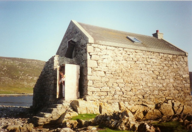
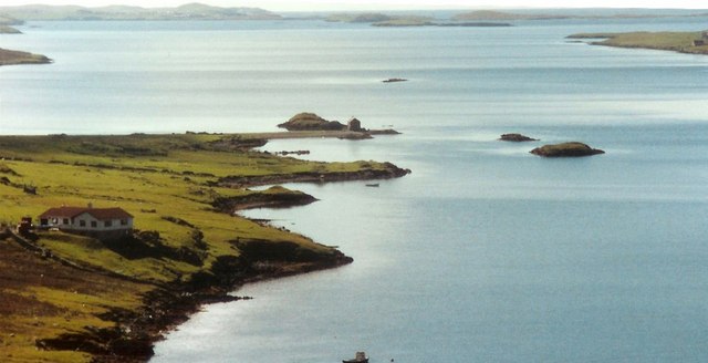
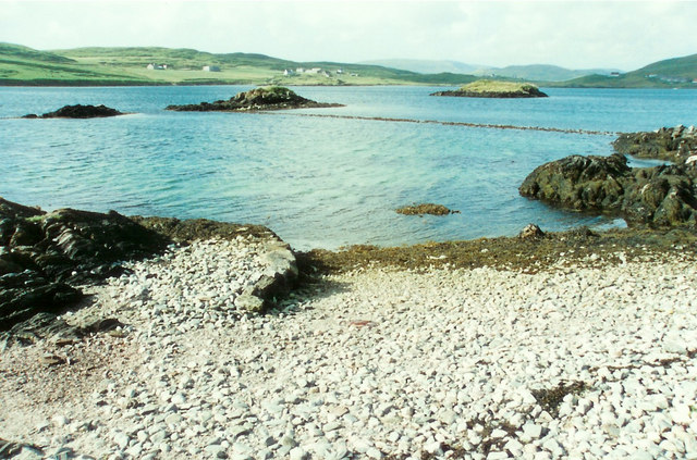
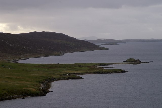
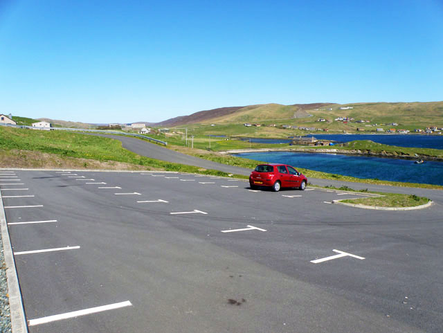
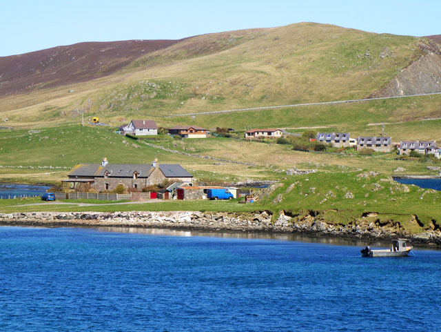
South Water of Wormadale Images

Images are sourced within 2km of 60.190328/-1.2631749 or Grid Reference HU4045. Thanks to Geograph Open Source API. All images are credited.

Bod of Nesbister The camping Bod at Nesbister, formerly a fishing station
Bod of Nesbister
The camping Bod at Nesbister, formerly a fishing station
Nesbister Nesbister looking out on the Bod of Nesbister, with Burra and the Scalloway isles in the distance. There is an ancient tidal Pictish causeway below the sea between the Bod isles and the land.
Nesbister
Nesbister looking out on the Bod of Nesbister, with Burra and the Scalloway isles in the distance. There is an ancient tidal Pictish causeway below the sea between the Bod isles and the land.
Pictish Causeway at Nesbister This ancient Pictish causeway near the Bod of Nesbister can only be seen at low tide.
Pictish Causeway at Nesbister
This ancient Pictish causeway near the Bod of Nesbister can only be seen at low tide.
Nesbister The head of Whiteness Voe.
Nesbister
The head of Whiteness Voe.
The Vadill, Whiteness Voe A vadill is a place that is shallow enough to be waded across.
The Vadill, Whiteness Voe
A vadill is a place that is shallow enough to be waded across.
Car park for the new burial ground
House by Mousa Ness In the distance can just be seen the A971 climbing the hill.
House by Mousa Ness
In the distance can just be seen the A971 climbing the hill.
Whiteness Voe
Whiteness Voe
Bod of Nesbister Camping Bod, providing very basic accommodation in a historical building.
Bod of Nesbister
Camping Bod, providing very basic accommodation in a historical building.
Whiteness Methodist Church
Wormadale The head of Whiteness Voe with Mousa Ness and Wormadale as seen from the viewpoint on Wormadale Hill. This is a "drowned landscape", created by rising sea level.
Wormadale
The head of Whiteness Voe with Mousa Ness and Wormadale as seen from the viewpoint on Wormadale Hill. This is a "drowned landscape", created by rising sea level.
Hoove, Whiteness With the head of Whiteness Voe and Wormadale Hill in the background.
Hoove, Whiteness
With the head of Whiteness Voe and Wormadale Hill in the background.
Mousa Ness, Whiteness
Mousa Ness and the head of Whiteness Voe
House at Mousaness, South Whiteness
The Vadill, Whiteness Voe With the houses at Wormadale in the background.
The Vadill, Whiteness Voe
With the houses at Wormadale in the background.
Whiteness: view over the head of Whiteness Voe and beyond A spectacular view across the head of Whiteness Voe from a lay-by on the A971. Beyond, we look across the top of White Ness towards, eventually, Skelda Ness. Protruding into the picture from the right is Fora Ness, with Fore Holm an island off the end of it.
Whiteness: view over the head of Whiteness Voe and beyond
A spectacular view across the head of Whiteness Voe from a lay-by on the A971. Beyond, we look across the top of White Ness towards, eventually, Skelda Ness. Protruding into the picture from the right is Fora Ness, with Fore Holm an island off the end of it.
Whiteness: a boat in Whiteness Voe Looking down on the head of Whiteness Voe, similarly to <a href="https://www.geograph.org.uk/photo/2756205">HU3945 : Whiteness: view over the head of Whiteness Voe and beyond</a>. Again, Skelda Ness is visible in the distance, about six miles away.
Whiteness: a boat in Whiteness Voe
Looking down on the head of Whiteness Voe, similarly to HU3945 : Whiteness: view over the head of Whiteness Voe and beyond. Again, Skelda Ness is visible in the distance, about six miles away.
Show me another place!

South Water of Wormadale is located at Grid Ref: HU4045 (Lat: 60.190328, Lng: -1.2631749)

Unitary Authority: Shetland Islands

Police Authority: Highlands and Islands

What 3 Words

///investors.tables.report. Near Scalloway, Shetland Islands

Related Wikis

Tingwall Airport

Tingwall Airport (IATA: LWK, ICAO: EGET), also known as Lerwick/Tingwall Airport, is located in the Tingwall valley, near the village of Gott, 4 NM (7...

Veensgarth

Veensgarth (Old Norse: Vikingsgarðr, Viking farm, or Vingarðr, Meadow Farm), is a village in the Tingwall valley west of Lerwick on Mainland in Shetland...

Setter Hill, Tingwall

Setter Hill is a hill in Tingwall, Shetland, Scotland. == References ==

Whiteness, Shetland

Whiteness (Old Norse: Hvitanes, white headland) is a village in Tingwall parish, Shetland Islands, Scotland, on Mainland. It is also an ancient civil parish...

Nearby Amenities

Located within 500m of 60.190328,-1.2631749
Power: pole
Lat/Long: 60.1914952/-1.2545443
Power: pole
Lat/Long: 60.1919618/-1.2550754
Power: pole
Lat/Long: 60.1926511/-1.2558639
Power: pole
Lat/Long: 60.1932498/-1.2565479
The data included in this document is from www.openstreetmap.org. The data is made available under ODbL.

Have you been to South Water of Wormadale?

Leave your review of South Water of Wormadale below (or comments, questions and feedback).