Acres Hill
Hill, Mountain in Yorkshire
England
Acres Hill
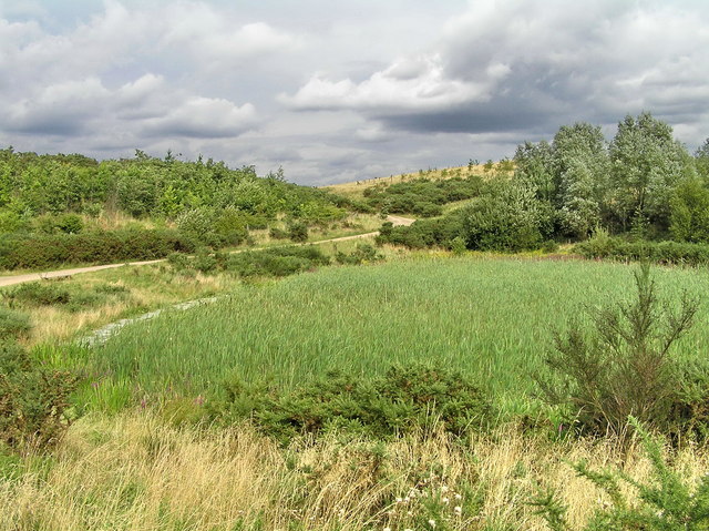
Acres Hill is a prominent hill located in the county of Yorkshire, England. Situated in the stunning North Yorkshire Moors National Park, it is part of the picturesque landscape that attracts nature lovers and outdoor enthusiasts alike.
Rising to a height of approximately 427 meters (1,401 feet), Acres Hill offers breathtaking panoramic views of the surrounding countryside. Its distinct shape and prominent position make it a popular destination for hikers and hillwalkers, providing an excellent vantage point to admire the beauty of the Yorkshire Dales and the expansive moorlands.
The hill is known for its diverse flora and fauna, with heather-covered slopes and scattered woodland areas. It is home to a variety of wildlife, including rare bird species such as the red grouse and curlew, as well as small mammals like rabbits and hares. The moorland habitat also supports a range of plant life, including bilberry and cotton grass.
Accessing Acres Hill is relatively easy, with a network of well-maintained footpaths leading to its summit. The hill is a popular destination for both experienced hikers and casual walkers, offering a range of routes suitable for all abilities. The surrounding area also provides ample opportunities for outdoor activities, including mountain biking and horseback riding.
Overall, Acres Hill in Yorkshire is a natural gem, offering a serene escape from urban life and a chance to immerse oneself in the stunning countryside of the North Yorkshire Moors National Park.
If you have any feedback on the listing, please let us know in the comments section below.
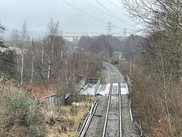
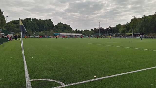
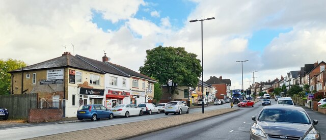
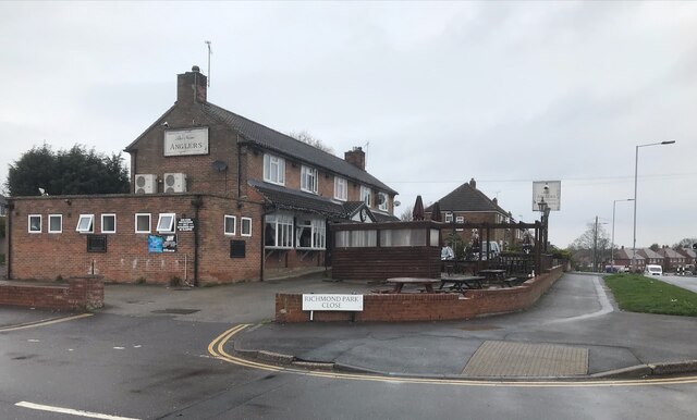
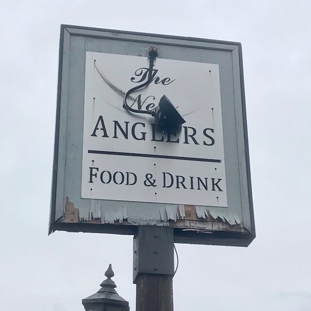
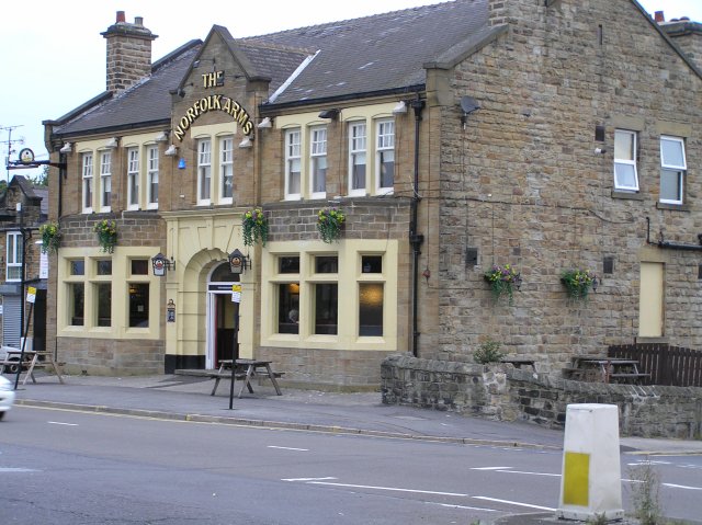
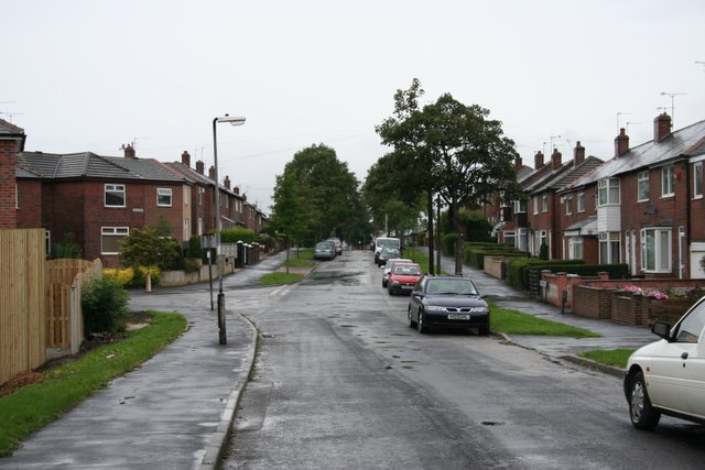
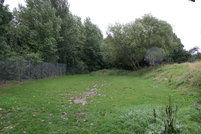
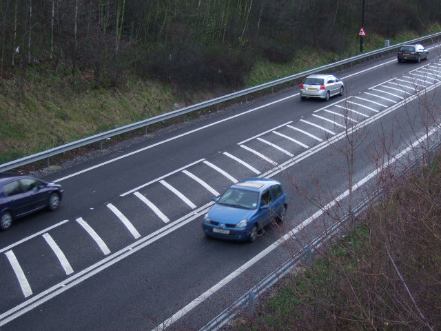
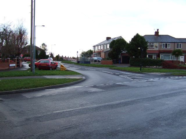
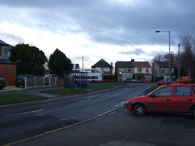
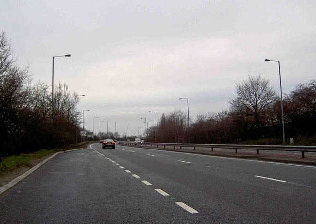
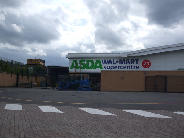
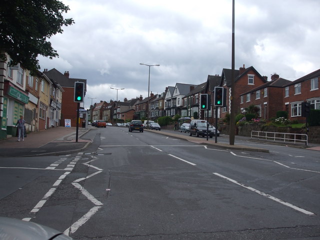
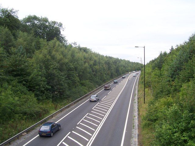
Acres Hill Images
Images are sourced within 2km of 53.380256/-1.4175123 or Grid Reference SK3887. Thanks to Geograph Open Source API. All images are credited.
Acres Hill is located at Grid Ref: SK3887 (Lat: 53.380256, Lng: -1.4175123)
Division: West Riding
Unitary Authority: Sheffield
Police Authority: South Yorkshire
What 3 Words
///being.bride.improving. Near Burngreave, South Yorkshire
Nearby Locations
Related Wikis
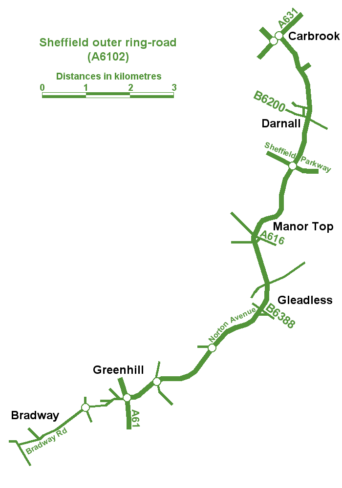
Sheffield Outer Ring Road
Sheffield Outer Ring Road is one of two main routes circumventing Sheffield, England, a partial ring around Sheffield City Centre and its suburbs. ��2...
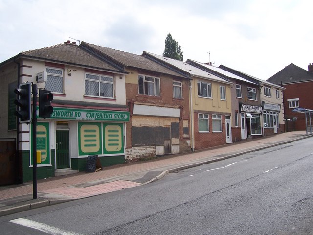
Darnall
Darnall is a suburb of eastern Sheffield, South Yorkshire, England. Darnall is approximately 3 miles (5 km) east-north-east of Sheffield city centre....

Darnall railway station
Darnall railway station is on the Sheffield to Lincoln Line and was built in 1849 to serve Darnall, a community about 3 miles (5 km) from the centre of...

Sheffield Park Academy
Sheffield Park Academy is a high performing 11–18 secondary school in Sheffield, South Yorkshire, England, with almost 1,200 pupils, including 150 in a...
Nearby Amenities
Located within 500m of 53.380256,-1.4175123Have you been to Acres Hill?
Leave your review of Acres Hill below (or comments, questions and feedback).