Easter Heog

Hill, Mountain in Shetland

Scotland

Easter Heog

Trondra: Stream Sound from Southerhouse Looking along Stream Sound, separating the islands of Trondra (left) and East Burra; the timy island between them is apparently unnamed. In the background, the West Voe of Quarff cuts into the big hills of the Shetland mainland.
Trondra: Stream Sound from Southerhouse Credit: Chris Downer

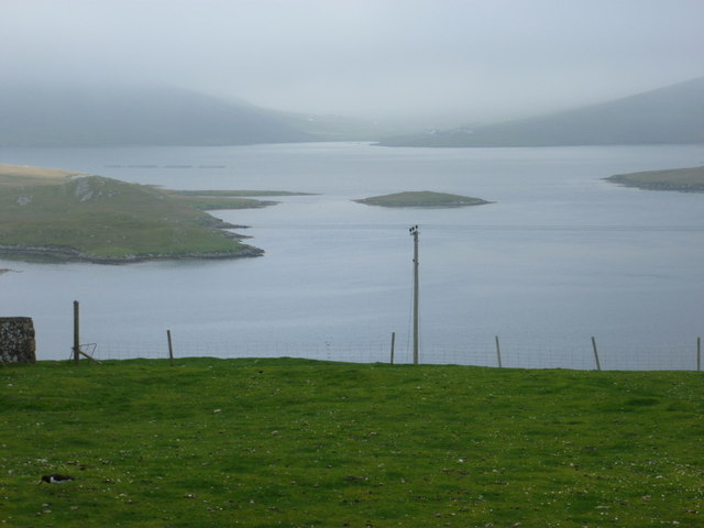
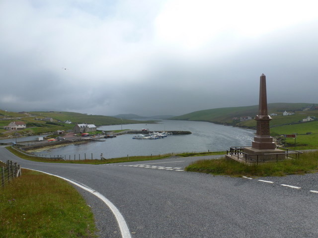
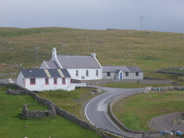
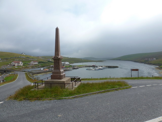
Easter Heog is a prominent hill located in the rugged and scenic landscape of Shetland, an archipelago in Scotland. Situated on the island of Mainland, the hill is known for its striking appearance and commanding views of the surrounding area.

Rising to an elevation of approximately 150 meters (500 feet), Easter Heog is characterized by its steep slopes, rocky terrain, and heather-covered vegetation. Its distinctive shape and position make it a prominent landmark in the region, visible from various vantage points across the island.

The hill offers visitors and locals alike an opportunity to enjoy outdoor activities such as hiking and hillwalking. Its relatively moderate height and accessible slopes make it a popular choice for those seeking a challenging yet manageable climb. From the summit, on a clear day, one can appreciate breathtaking panoramic views of the surrounding countryside, coastlines, and neighboring islands.

Easter Heog is also known for its rich biodiversity, with a variety of plant and animal species inhabiting its slopes. The hill is home to numerous bird species, including the iconic puffin, as well as various wildflowers and mosses that add to its natural beauty.

Visiting Easter Heog provides a unique opportunity to explore Shetland's stunning countryside, appreciate its diverse wildlife, and soak in the tranquility of this remote and picturesque location.

If you have any feedback on the listing, please let us know in the comments section below.
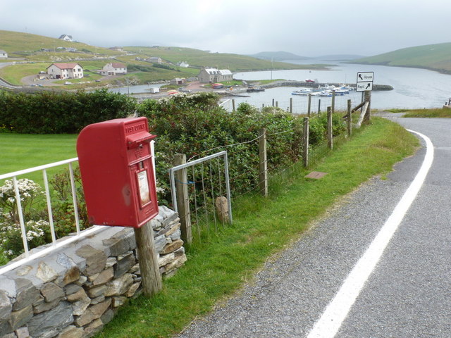
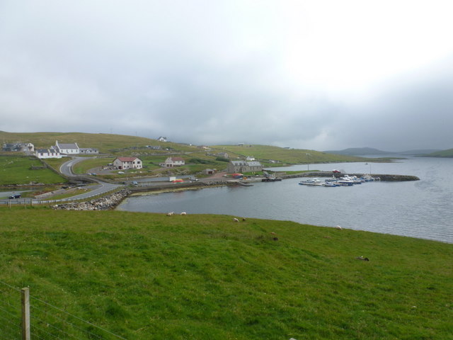
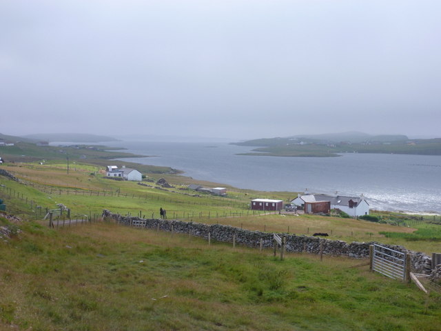
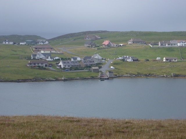
Easter Heog Images

Images are sourced within 2km of 60.087746/-1.3040594 or Grid Reference HU3833. Thanks to Geograph Open Source API. All images are credited.

Trondra: Stream Sound from Southerhouse Looking along Stream Sound, separating the islands of Trondra (left) and East Burra; the timy island between them is apparently unnamed. In the background, the West Voe of Quarff cuts into the big hills of the Shetland mainland.
Trondra: Stream Sound from Southerhouse
Looking along Stream Sound, separating the islands of Trondra (left) and East Burra; the timy island between them is apparently unnamed. In the background, the West Voe of Quarff cuts into the big hills of the Shetland mainland.
West Burra: overlooking Bridge End A fine view past the war memorial and down South Voe, the marina nestling below.
West Burra: overlooking Bridge End
A fine view past the war memorial and down South Voe, the marina nestling below.
East Burra: the Baptist church Looking across the dip between the two Burras towards this small church on East Burra.
East Burra: the Baptist church
Looking across the dip between the two Burras towards this small church on East Burra.
East Burra: view along Lang Sound Looking north along the channel separating East Burra from West. In the distance is the bridge linking the Burras with Trondra en route to the mainland.
East Burra: view along Lang Sound
Looking north along the channel separating East Burra from West. In the distance is the bridge linking the Burras with Trondra en route to the mainland.
West Burra: war memorial The war memorial at Bridge End stands at a fantastic viewpoint as we look beyond it down South Voe, separating East Burra (left) from West Burra.
West Burra: war memorial
The war memorial at Bridge End stands at a fantastic viewpoint as we look beyond it down South Voe, separating East Burra (left) from West Burra.
West Burra: postbox № ZE2 14, Bridge End This small postbox serves the southern villages of West Burra, as well as East Burra, and is emptied each weekday and Saturday morning at half past seven.
West Burra: postbox № ZE2 14, Bridge End
This small postbox serves the southern villages of West Burra, as well as East Burra, and is emptied each weekday and Saturday morning at half past seven.
West Burra: the marina Looking down on the marina, which is at the head of South Voe which separates the island of West Burra from East Burra (background).
West Burra: the marina
Looking down on the marina, which is at the head of South Voe which separates the island of West Burra from East Burra (background).
East Burra: view down South Voe Looking down South Voe, the long inlet separating the islands of East Burra and West Burra.
East Burra: view down South Voe
Looking down South Voe, the long inlet separating the islands of East Burra and West Burra.
West Burra: Toogs from across Lang Sound Looking across Lang Sound from the island of East Burra, towards the hamlet of Toogs on West Burra.
West Burra: Toogs from across Lang Sound
Looking across Lang Sound from the island of East Burra, towards the hamlet of Toogs on West Burra.
East Burra: Clift Sound view Looking along Clift Sound from East Hogaland, with the Clift Hills, on the western side of mainland Shetland, shrouded in a mist that clung on throughout the day.
East Burra: Clift Sound view
Looking along Clift Sound from East Hogaland, with the Clift Hills, on the western side of mainland Shetland, shrouded in a mist that clung on throughout the day.
East Burra: New Grunasound and Lang Sound The house at New Grunasound, extreme left, stands by the edge of Lang Sound, which separates the islands of East and West Burra.
East Burra: New Grunasound and Lang Sound
The house at New Grunasound, extreme left, stands by the edge of Lang Sound, which separates the islands of East and West Burra.
West Burra: postbox № ZE2 8, Southerhouse A small postbox serving the Southerhouse hamlet, emptied on weekdays and Saturdays at 7:30am. The backdrop is the Clift Hills, on the western edge of the Shetland mainland, rising into the mist.
West Burra: postbox № ZE2 8, Southerhouse
A small postbox serving the Southerhouse hamlet, emptied on weekdays and Saturdays at 7:30am. The backdrop is the Clift Hills, on the western edge of the Shetland mainland, rising into the mist.
Lang Sound
Lang Sound
Bridge End South Voe in the foreground, Lang Sound beyond.
Bridge End
South Voe in the foreground, Lang Sound beyond.
Brough Hill Bagged with Tricky Speirs.
Name: Brough Hill
Hill number: 104033
Height: 61m / 200ft
Area:22: Shetland Islands
Class: 0
Grid ref: HU377351 (est)
Drop: 49m
Col: 12m
Brough Hill
Bagged with Tricky Speirs. Name: Brough Hill Hill number: 104033 Height: 61m / 200ft Area:22: Shetland Islands Class: 0 Grid ref: HU377351 (est) Drop: 49m Col: 12m
Easter Heog Bagged with Tricky Speirs.
Name: Easter Heog
Hill number: 103970
Height: 81m / 266ft
Area:22: Shetland Islands
Class: 0
Grid ref: HU388338 (est)
Drop: 81m
Easter Heog
Bagged with Tricky Speirs. Name: Easter Heog Hill number: 103970 Height: 81m / 266ft Area:22: Shetland Islands Class: 0 Grid ref: HU388338 (est) Drop: 81m
Bridgend Baptist Church, East Burra
Hamnavoe: lifebuoy at Meal Beach This lifebuoy is both functional and artistic, and is hooked to the kissing gate at the top of the path leading down to the beach.
Hamnavoe: lifebuoy at Meal Beach
This lifebuoy is both functional and artistic, and is hooked to the kissing gate at the top of the path leading down to the beach.
Show me another place!

Easter Heog is located at Grid Ref: HU3833 (Lat: 60.087746, Lng: -1.3040594)

Unitary Authority: Shetland Islands

Police Authority: Highlands and Islands

What 3 Words

///banana.marked.sparrows. Near Scalloway, Shetland Islands

Related Wikis

East Burra

East Burra (Scots: East Burra; Old Norse: "Barrey") is one of the Scalloway Islands, a subgroup of the Shetland Islands in Scotland. It is connected by...

Scalloway Islands

The Scalloway Islands are in Shetland opposite Scalloway on south west of the Mainland. They form a mini-archipelago and include: Burra (two islands linked...

Burra, Shetland

Burra (Old Norse: Barrey ) is the collective name for two of the Shetland Islands, West (pop. 753) and East Burra (pop. 66), which are connected by bridge...

West Burra

West Burra is one of the Scalloway Islands, a subgroup of the Shetland Islands in Scotland. It is connected by bridge to East Burra. With an area of 743...
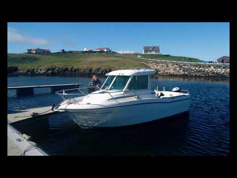
Related Videos

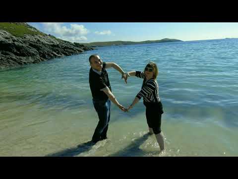
MEAL BEACH,SHETLAND-2017

Mealbeach #Atlanticocean #Shetland Traveling Shetland Meal beach is a lovely southward facing beach with deep sand and a ...

Isle of Burra, Shetland

The Isle of Burra is a slither of land on the west of Shetland's mainland to which it is joined by bridges. We walk over the tombolo ...

EAST BURRA,SHETLAND ISLANDS 2017

EastBurra #Shetland #Travel Traveling Shetland East Burra (Scots: East Burra; Old Norse: "Barrey" is one of the Scalloway ...

Chasing Dory underwater drone footage at Hamnavoe Pier, Burra Isle, Shetland

This was the fourth outing for Dory while we were on holiday in Shetland. Will be uploading more videos in due course but wanted ...

Nearby Amenities

Located within 500m of 60.087746,-1.3040594
Turning Circle
Lat/Long: 60.0836822/-1.3046001
Power: pole
Lat/Long: 60.083733/-1.3043623
The data included in this document is from www.openstreetmap.org. The data is made available under ODbL.

Have you been to Easter Heog?

Leave your review of Easter Heog below (or comments, questions and feedback).