Darnall

Settlement in Yorkshire

England

Darnall

Olivers Mount - Home of Handsworth FC FA Cup 1st Qualifying Round : Handsworth FC 2 Coventry United 0, Attendance 368
This is the new ground of a fairly new team, though it is hard to figure out exactly how long the real club goes back, it having emerged from an older one of the same name via mergers, name changes, and various relocations. Existence is sometimes tough in Tier 9 of the football pyramid it seems. (Tier 1 is the Premier League, so theoretically if Handsworth top their leagues, win playoffs, and carry out necessary ground improvements along the way, they could be kicking off against Manchester United in eight years time.)
The pitch is artificial, but there is a tannoy, as well as a bar in the clubhouse, which is further South at the entrance by the cricket field. Handsworth currently play in the Northern Counties East League Premier Division. Obviously the rules regarding alcohol in normal fixtures differ from FA-run competitions - repeated announcements were made advising spectators that today beers would not be allowed to be carried from the clubhouse to the playing area.
All clubs in the pyramid leagues down to Tier 10 can enter the FA Cup if they fulfil certain criteria - which most do - and decide they want to. The prize money for winning today's tie was £2,250.
Olivers Mount - Home of Handsworth FC Credit: Ian Dodds

Darnall is a suburb located in the eastern part of Sheffield, South Yorkshire, England. Situated about 3 miles east of the city center, it is bordered by other notable areas such as Attercliffe, Handsworth, and Tinsley. Darnall is a diverse community with a rich industrial history.

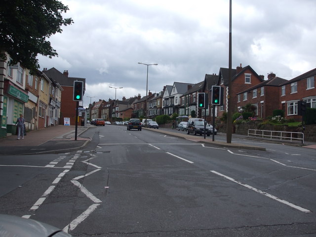
Historically, Darnall was primarily an industrial village, known for its steelworks and factories during the 19th and 20th centuries. However, with the decline of heavy industry in the region, Darnall has transitioned into a residential area, offering a mix of housing options from traditional terraced houses to modern developments.

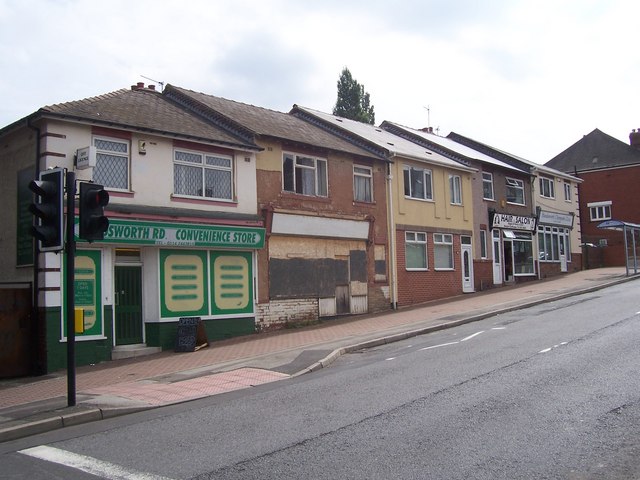
Despite its transformation, remnants of its industrial past can still be seen, with some old factory buildings and warehouses repurposed for various uses. The area is also home to several parks and green spaces, providing recreational opportunities for residents.

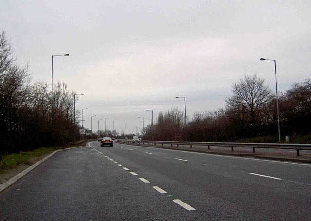
Darnall is well-served by transportation links, with a railway station and various bus routes connecting it to the rest of Sheffield. The area also benefits from proximity to the M1 motorway, allowing for easy access to other parts of Yorkshire and beyond.

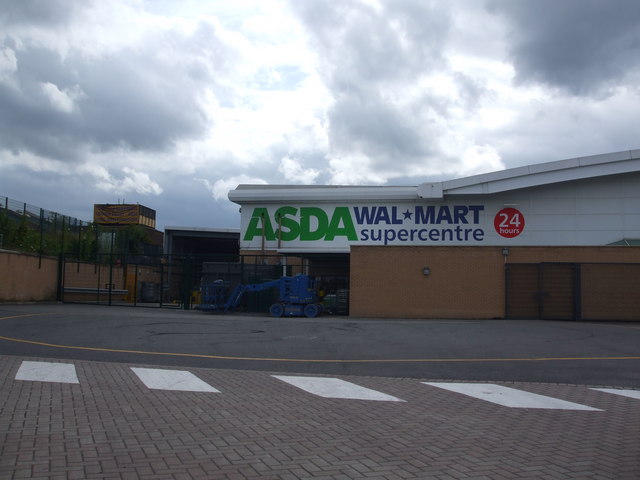
In terms of amenities, Darnall offers a range of shops, supermarkets, and local businesses to cater to residents' needs. The community is also supported by schools, healthcare facilities, and community centers.

Overall, Darnall is a diverse and evolving suburb of Sheffield, combining its industrial heritage with modern residential living. It provides a convenient location for commuters and offers a range of amenities for its residents.

If you have any feedback on the listing, please let us know in the comments section below.
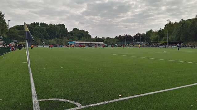
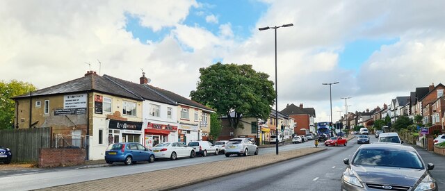
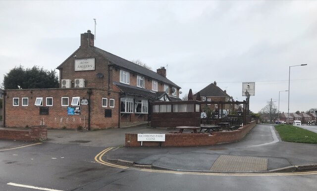
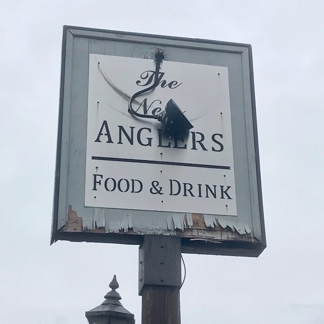
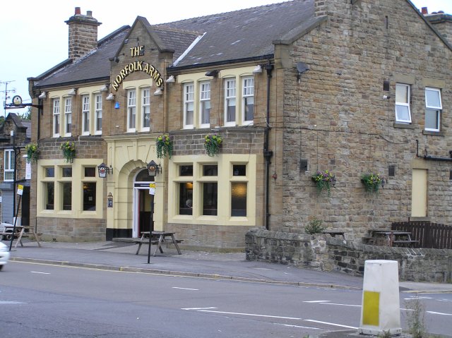
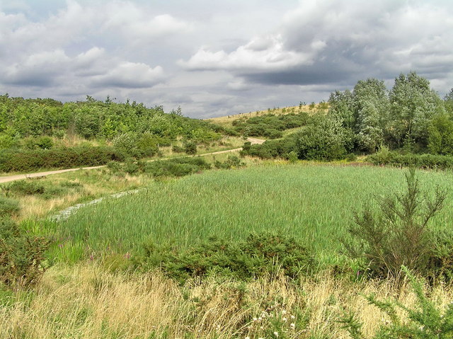
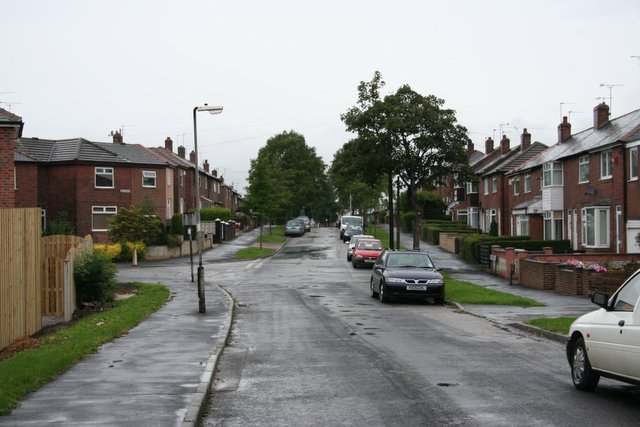
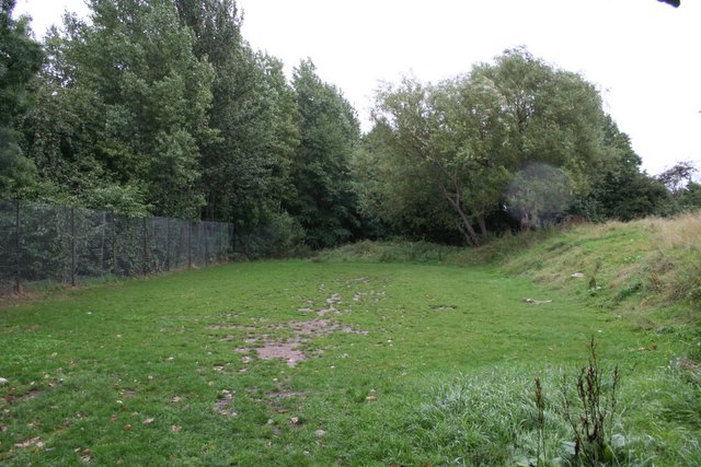
Darnall Images

Images are sourced within 2km of 53.384528/-1.416621 or Grid Reference SK3887. Thanks to Geograph Open Source API. All images are credited.

Olivers Mount - Home of Handsworth FC FA Cup 1st Qualifying Round : Handsworth FC 2 Coventry United 0, Attendance 368
This is the new ground of a fairly new team, though it is hard to figure out exactly how long the real club goes back, it having emerged from an older one of the same name via mergers, name changes, and various relocations. Existence is sometimes tough in Tier 9 of the football pyramid it seems. (Tier 1 is the Premier League, so theoretically if Handsworth top their leagues, win playoffs, and carry out necessary ground improvements along the way, they could be kicking off against Manchester United in eight years time.)
The pitch is artificial, but there is a tannoy, as well as a bar in the clubhouse, which is further South at the entrance by the cricket field. Handsworth currently play in the Northern Counties East League Premier Division. Obviously the rules regarding alcohol in normal fixtures differ from FA-run competitions - repeated announcements were made advising spectators that today beers would not be allowed to be carried from the clubhouse to the playing area.
All clubs in the pyramid leagues down to Tier 10 can enter the FA Cup if they fulfil certain criteria - which most do - and decide they want to. The prize money for winning today's tie was £2,250.
Olivers Mount - Home of Handsworth FC
FA Cup 1st Qualifying Round : Handsworth FC 2 Coventry United 0, Attendance 368 This is the new ground of a fairly new team, though it is hard to figure out exactly how long the real club goes back, it having emerged from an older one of the same name via mergers, name changes, and various relocations. Existence is sometimes tough in Tier 9 of the football pyramid it seems. (Tier 1 is the Premier League, so theoretically if Handsworth top their leagues, win playoffs, and carry out necessary ground improvements along the way, they could be kicking off against Manchester United in eight years time.) The pitch is artificial, but there is a tannoy, as well as a bar in the clubhouse, which is further South at the entrance by the cricket field. Handsworth currently play in the Northern Counties East League Premier Division. Obviously the rules regarding alcohol in normal fixtures differ from FA-run competitions - repeated announcements were made advising spectators that today beers would not be allowed to be carried from the clubhouse to the playing area. All clubs in the pyramid leagues down to Tier 10 can enter the FA Cup if they fulfil certain criteria - which most do - and decide they want to. The prize money for winning today's tie was £2,250.
Shops on Handsworth Road
The New Anglers Formerly the Anglers Rest <a href="https://www.geograph.org.uk/photo/2971016">SK4086 : The Anglers Rest</a>.
The New Anglers
Formerly the Anglers Rest SK4086 : The Anglers Rest.
The sign of The New Anglers Not looking that new! Also <a href="https://www.geograph.org.uk/photo/7448947">SK4086 : The New Anglers</a>
The sign of The New Anglers
Not looking that new! Also SK4086 : The New Anglers
Norfolk Arms, Handsworth One of the old pubs in the area, the Norfolk Arms is identified on the 1901 OS map. Just down the road from here, Benjamin Huntsman, inventor of crucible steel lived for a while in 1742,
Norfolk Arms, Handsworth
One of the old pubs in the area, the Norfolk Arms is identified on the 1901 OS map. Just down the road from here, Benjamin Huntsman, inventor of crucible steel lived for a while in 1742,
Seventy Acre Hill, Tinsley Park, Sheffield The hill was created as part of the post-opencast landscaping at Tinsley Park in Sheffield.
Seventy Acre Hill, Tinsley Park, Sheffield
The hill was created as part of the post-opencast landscaping at Tinsley Park in Sheffield.
Willow Drive, Handsworth The view down Willow Drive, Handsworth on a miserable, windy, rainy early September morning.
Willow Drive, Handsworth
The view down Willow Drive, Handsworth on a miserable, windy, rainy early September morning.
Off Willow Drive, Handsworth Just off Willow Drive <a href="https://www.geograph.org.uk/photo/231310">SK4087 : Willow Drive, Handsworth</a> is this flat grassed area, presumably designated as a kids play area. The fence to the left of shot is atop the railway cutting.
Off Willow Drive, Handsworth
Just off Willow Drive SK4087 : Willow Drive, Handsworth is this flat grassed area, presumably designated as a kids play area. The fence to the left of shot is atop the railway cutting.
Europa Link Tinsley
Europa Link Tinsley
Windsock on the perimeter of Sheffield City Airport The City airport now with no flights, other than a few private planes and helicopters.
Windsock on the perimeter of Sheffield City Airport
The City airport now with no flights, other than a few private planes and helicopters.
Sheffield Parkway The main route into Sheffield from the M1 motorway.
Sheffield Parkway
The main route into Sheffield from the M1 motorway.
Asda Supercentre,Handsworth
Handsworth Road
Handsworth Road
Shops on Handsworth Road
Outokumpu Steelworks Stainless steelworks at Tinsley
Outokumpu Steelworks
Stainless steelworks at Tinsley
Trans-Pennine Trail TPT and route 67 near Tinsley Park Golf Course
Trans-Pennine Trail
TPT and route 67 near Tinsley Park Golf Course
Europa Link Trans-Pennine Trail beside Europa Link
Europa Link
Trans-Pennine Trail beside Europa Link
Tinsley Park Trig Pillar The storage tanks and trig pillar now gone. For more details on the pillar and its demise see <span class="nowrap"><a title="http://www.trigpointinguk.com/trigs/trig-details.php?t=6490" rel="nofollow ugc noopener" href="http://www.trigpointinguk.com/trigs/trig-details.php?t=6490">Link</a><img style="margin-left:2px;" alt="External link" title="External link - shift click to open in new window" src="https://s1.geograph.org.uk/img/external.png" width="10" height="10"/></span>
Tinsley Park Trig Pillar
The storage tanks and trig pillar now gone. For more details on the pillar and its demise see LinkExternal link
Show me another place!

Darnall is located at Grid Ref: SK3887 (Lat: 53.384528, Lng: -1.416621)

Division: West Riding

Unitary Authority: Sheffield

Police Authority: South Yorkshire

What 3 Words

///search.live.splice. Near Burngreave, South Yorkshire

Nearby Locations

Acres Hill Darnall

Related Wikis

Darnall railway station

Darnall railway station is on the Sheffield to Lincoln Line and was built in 1849 to serve Darnall, a community about 3 miles (5 km) from the centre of...

Darnall (ward)

Darnall ward—which includes the districts of Attercliffe, Carbrook, Darnall, Tinsley, and parts of Handsworth—is one of the 28 electoral wards in City...

Darnall Old Ground

Darnall Old Ground at Darnall, Sheffield was a first-class cricket venue in the 1820s. It was the home ground of Sheffield Cricket Club which played first...
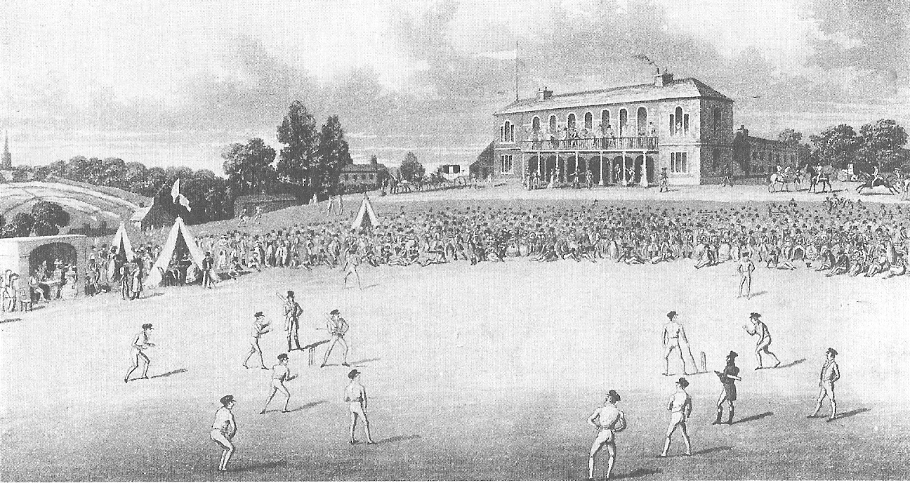
Darnall New Ground

Darnall New Ground at High Hazels Park, Darnall, Sheffield was a first-class cricket venue in the 1820s. It was the home ground of Sheffield Cricket Club...

Nearby Amenities

Located within 500m of 53.384528,-1.416621
Darnall West Junction
Historic Railway: junction
Railway: site
Wikidata: Q124372445
Lat/Long: 53.3858997/-1.4179803
Crossing
Crossing: traffic_signals
Crossing Ref: pelican
Lat/Long: 53.3831602/-1.4109152
Darnall
Public Transport: stop_position
Railway: stop
Train: yes
Lat/Long: 53.3844973/-1.4123598
Darnall
Place: suburb
Wikidata: Q5224088
Wikipedia: en:Darnall
Lat/Long: 53.3864127/-1.4113784
Place Of Worship
Living Waters
Religion: christian
Lat/Long: 53.3881452/-1.4126399
Crossing
Button Operated: yes
Crossing: traffic_signals
Crossing Island: no
Tactile Paving: yes
Lat/Long: 53.3862987/-1.4117986
Staniforth Mini Market
Addr City: Sheffield
Addr Country: GB
Addr Housenumber: 503
Addr Postcode: S9 3FR
Addr Street: Staniforth Road
Fhrs Id: 436927
Shop: convenience
Lat/Long: 53.387998/-1.4195323
Crossing
Button Operated: yes
Crossing: traffic_signals
Crossing Island: no
Tactile Paving: yes
Lat/Long: 53.3865401/-1.4113045
Information: help_point
Tourism: information
Lat/Long: 53.3865199/-1.4112269
Post Box
Postal Code: S9
Ref: S9 394
Lat/Long: 53.3864223/-1.4112
Bicycle Parking
Lat/Long: 53.3860688/-1.4099676
Crossing
Button Operated: yes
Crossing: traffic_signals
Crossing Island: no
Tactile Paving: yes
Lat/Long: 53.3859654/-1.4096862
Barrier: bollard
Lat/Long: 53.3841031/-1.4157175
Barrier: bollard
Lat/Long: 53.383911/-1.4153159
Turning Circle
Lat/Long: 53.3837981/-1.4124101
Turning Circle
Source: Bing
Lat/Long: 53.3819175/-1.415743
Turning Circle
Lat/Long: 53.3818591/-1.4144979
Turning Circle
Source: Bing
Lat/Long: 53.3823557/-1.4131671
Turning Circle
Source: Bing
Lat/Long: 53.3831507/-1.4154237
Power: substation
Lat/Long: 53.382608/-1.4225379
Mawdsleys
Postal Code: S9 4WU
Lat/Long: 53.3836247/-1.4229383
Power: substation
Ref GB Uprn: 10013644752
Lat/Long: 53.383975/-1.4239588
Smiths News
Postal Code: S9 4WU
Lat/Long: 53.3839401/-1.4233608
Post Box
Collection Times: Mo-Fr 09:00; Sa 07:00
Post Box Type: pillar
Postal Code: S9
Ref: S9 864D
Royal Cypher: EIIR
Royal Cypher Wikidata: Q33102113
Lat/Long: 53.3849974/-1.4226888
Arnold Wragg
Postal Code: S9 4WU
Lat/Long: 53.3858571/-1.4229284
Power: substation
Ref GB Uprn: 10013644760
Lat/Long: 53.3852624/-1.4234186
3c Finishing Ltd
Postal Code: S9 4LR
Lat/Long: 53.3834777/-1.4176272
Careforce
Postal Code: S9 4LR
Lat/Long: 53.3821327/-1.4218854
Post Box
Postal Code: S9
Ref: S9 267
Lat/Long: 53.382203/-1.4112212
Crossing
Crossing: traffic_signals
Crossing Ref: pelican
Lat/Long: 53.383203/-1.4107623
Bus Stop
Staniforth Road/Balfour Drive
Bus: yes
Naptan AtcoCode: 370020144
Naptan Bearing: SE
Naptan CommonName: Staniforth Road/Balfour Drive
Naptan Indicator: 20144
Naptan Landmark: 20144
Naptan PlusbusZoneRef: ROTHCEN
Naptan Street: Staniforth Road
Naptan Verified: no
Public Transport: platform
Source: naptan_import
Lat/Long: 53.3875966/-1.4182119
Bus Stop
Staniforth Road/Acres Hill Road
Bus: yes
Naptan AtcoCode: 370023618
Naptan Bearing: NW
Naptan CommonName: Staniforth Road/Acres Hill Road
Naptan Indicator: 23618
Naptan Landmark: 23618
Naptan PlusbusZoneRef: ROTHCEN
Naptan Street: Staniforth Road
Naptan Verified: no
Public Transport: platform
Source: naptan_import
Lat/Long: 53.3870907/-1.4164193
Bus Stop
Prince of Wales Road/Poole Place
Bus: yes
Naptan AtcoCode: 370021834
Naptan Bearing: N
Naptan CommonName: Prince of Wales Road/Poole Place
Naptan Indicator: 21834
Naptan Landmark: OPPOSITE DAVY MCKEE
Naptan PlusbusZoneRef: ROTHCEN
Naptan Street: Prince Of Wales Road
Naptan Verified: no
Public Transport: platform
Source: naptan_import
Lat/Long: 53.3833072/-1.4109272
Bus Stop
Main Road/Greenland Road
Bus: yes
Naptan AtcoCode: 370021837
Naptan Bearing: SE
Naptan CommonName: Main Road/Greenland Road
Naptan Indicator: 21837
Naptan Landmark: Opposite The Wellington Pub
Naptan PlusbusZoneRef: ROTHCEN
Naptan Street: Main Road
Naptan Verified: no
Public Transport: platform
Source: naptan_import
Lat/Long: 53.3862112/-1.4105657
Bus Stop
Main Road/Greenland Road
Bus: yes
Naptan AtcoCode: 370021838
Naptan Bearing: SE
Naptan CommonName: Main Road/Greenland Road
Naptan Indicator: 21838
Naptan Landmark: OPPOSITE THE WELLINGTON PUB
Naptan PlusbusZoneRef: ROTHCEN
Naptan Street: Main Road
Naptan Verified: no
Public Transport: platform
Source: naptan_import
Lat/Long: 53.3861248/-1.4103658
Bus Stop
Staniforth Road/Kirby Close
Bus: yes
Naptan AtcoCode: 370021839
Naptan Bearing: N
Naptan CommonName: Staniforth Road/Kirby Close
Naptan Indicator: 21839
Naptan Landmark: Opposite Shops
Naptan PlusbusZoneRef: ROTHCEN
Naptan Street: Staniforth Road
Naptan Verified: no
Public Transport: platform
Source: naptan_import
Lat/Long: 53.3862533/-1.4124764
Bus Stop
Main Road/Catley Road
Alt Name: Main Road/Catley Road
Bus: yes
Naptan AltCommonName: Main Road/Catley Road
Naptan AtcoCode: 370021848
Naptan Bearing: N
Naptan CommonName: Main Road/Catley Road
Naptan Indicator: 21848
Naptan Landmark: NR MORRISONS CAR PARK/OPP. OLD
Naptan PlusbusZoneRef: ROTHCEN
Naptan Street: Main Road
Naptan Verified: no
Public Transport: platform
Source: naptan_import
Lat/Long: 53.3873142/-1.4109425
Bus Stop
Staniforth Road/Gainsford Road
Alt Name: Staniforth Road/Gainsford Road
Bus: yes
Naptan AltCommonName: Staniforth Road/Gainsford Road
Naptan AtcoCode: 370021849
Naptan Bearing: SE
Naptan CommonName: Staniforth Road/Gainsford Road
Naptan Indicator: 21849
Naptan Landmark: Opposite Craven/Tasker
Naptan PlusbusZoneRef: ROTHCEN
Naptan Street: Staniforth Road
Naptan Verified: no
Public Transport: platform
Source: naptan_import
Lat/Long: 53.3868316/-1.4149042
Bus Stop
Prince of Wales Road/Main Road
Bus: yes
Naptan AtcoCode: 370021851
Naptan Bearing: N
Naptan CommonName: Prince of Wales Road/Main Road
Naptan Indicator: 21851
Naptan Landmark: Opposite Church
Naptan PlusbusZoneRef: ROTHCEN
Naptan Street: Prince Of Wales Road
Naptan Verified: no
Public Transport: platform
Source: naptan_import
Lat/Long: 53.3845555/-1.4103136
Bus Stop
Prince of Wales Road/Poole Place
Bus: yes
Naptan AtcoCode: 370021852
Naptan Bearing: S
Naptan CommonName: Prince of Wales Road/Poole Place
Naptan Indicator: 21852
Naptan Landmark: Opposite Poole Place
Naptan PlusbusZoneRef: ROTHCEN
Naptan Street: Prince Of Wales Road
Naptan Verified: no
Public Transport: platform
Source: naptan_import
Lat/Long: 53.3834234/-1.4106006
Bus Stop
Staniforth Road/Balfour Road
Bus: yes
Naptan AtcoCode: 370027181
Naptan Bearing: N
Naptan CommonName: Staniforth Road/Balfour Road
Naptan Indicator: 27181
Naptan Landmark: 27181
Naptan PlusbusZoneRef: ROTHCEN
Naptan Street: Staniforth Road
Naptan Verified: no
Public Transport: platform
Source: naptan_import
Lat/Long: 53.3876958/-1.4189334
Bicycle Parking
Capacity: 4
Lat/Long: 53.3854924/-1.4094943
Give Way
Lat/Long: 53.3860659/-1.4096982
Traffic Signals
Crossing: no
Lat/Long: 53.3851825/-1.4096284
Traffic Signals
Crossing: no
Lat/Long: 53.3859333/-1.4095309
Give Way
Lat/Long: 53.3854941/-1.4097664
Crossing
Button Operated: yes
Crossing: traffic_signals
Crossing Island: no
Tactile Paving: yes
Lat/Long: 53.385794/-1.4099758
Traffic Signals
Crossing: no
Lat/Long: 53.3857537/-1.4099368
Turning Circle
Source: Bing
Lat/Long: 53.3825122/-1.4149451
Turning Circle
Source: Bing
Lat/Long: 53.3827492/-1.416091
Crossing
Button Operated: yes
Crossing: traffic_signals
Crossing Island: no
Tactile Paving: yes
Lat/Long: 53.3851075/-1.4097315
Darnall
Naptan AtcoCode: 9100DARNALL
Network: National Rail
Network Website: https://www.nationalrail.co.uk/stations/dan/
Network Wikidata: Q26334
Operator: Northern Rail
Operator Website: https://www.northernrailway.co.uk/stations/darnall
Operator Wikidata: Q85789775
Public Transport: station
Railway: station
Ref Crs: DAN
Source: wikipedia
Wikidata: Q2975270
Wikipedia: en:Darnall railway station
Lat/Long: 53.3845451/-1.4123572
Darnall
Public Transport: stop_position
Railway: stop
Train: yes
Lat/Long: 53.3846078/-1.4123402
Crossing
Button Operated: yes
Crossing: traffic_signals
Crossing Island: no
Tactile Paving: yes
Lat/Long: 53.3851287/-1.4100738
Crossing
Button Operated: yes
Crossing: traffic_signals
Crossing Island: no
Tactile Paving: yes
Lat/Long: 53.3851552/-1.4098547
Crossing
Button Operated: yes
Crossing: traffic_signals
Crossing Island: no
Tactile Paving: yes
Lat/Long: 53.3859028/-1.409855
Crossing
Lat/Long: 53.3860545/-1.4097373
Crossing
Button Operated: yes
Crossing: traffic_signals
Crossing Island: no
Tactile Paving: yes
Lat/Long: 53.3853821/-1.4095059
Crossing
Button Operated: yes
Crossing: traffic_signals
Crossing Island: no
Tactile Paving: yes
Lat/Long: 53.3858901/-1.4095475
Crossing
Button Operated: yes
Crossing: traffic_signals
Crossing Island: no
Tactile Paving: yes
Lat/Long: 53.385199/-1.4097167
Post Box
Collection Times: Mo-Fr 17:00; Sa 11:30
Post Box Type: lamp
Ref: S9 1300
Royal Cypher: EIIR
Royal Cypher Wikidata: Q33102113
Lat/Long: 53.3854569/-1.4093882
Generator Source: solar
Power: generator
Lat/Long: 53.3868574/-1.4177285
Generator Source: solar
Power: generator
Lat/Long: 53.3866335/-1.4181523
Generator Source: solar
Power: generator
Lat/Long: 53.3867031/-1.4180886
Generator Source: solar
Power: generator
Lat/Long: 53.3865483/-1.4179739
Generator Source: solar
Power: generator
Lat/Long: 53.387123/-1.4184433
Generator Source: solar
Power: generator
Lat/Long: 53.3871062/-1.4183655
Generator Source: solar
Power: generator
Lat/Long: 53.386921/-1.4191876
Generator Source: solar
Power: generator
Lat/Long: 53.3869082/-1.4192748
Generator Source: solar
Power: generator
Lat/Long: 53.3868658/-1.4192466
Generator Source: solar
Power: generator
Lat/Long: 53.3868718/-1.4191762
Generator Source: solar
Power: generator
Lat/Long: 53.3867871/-1.4198079
Generator Source: solar
Power: generator
Lat/Long: 53.386817/-1.4195571
Generator Source: solar
Power: generator
Lat/Long: 53.3864427/-1.418438
Generator Source: solar
Power: generator
Lat/Long: 53.3862703/-1.4186827
Generator Source: solar
Power: generator
Lat/Long: 53.3862867/-1.4187531
Generator Source: solar
Power: generator
Lat/Long: 53.3869438/-1.4167643
Generator Source: solar
Power: generator
Lat/Long: 53.3864247/-1.4163968
Generator Source: solar
Power: generator
Lat/Long: 53.3863167/-1.4159113
Generator Source: solar
Power: generator
Lat/Long: 53.3865615/-1.4161178
Generator Source: solar
Power: generator
Lat/Long: 53.3866023/-1.416091
Power: substation
Lat/Long: 53.3867311/-1.4159784
Generator Source: solar
Power: generator
Lat/Long: 53.3864687/-1.4156988
Generator Source: solar
Power: generator
Lat/Long: 53.3864759/-1.415747
Traffic Signals
Crossing: no
Lat/Long: 53.3853101/-1.4097852
Traffic Signals
Crossing: no
Lat/Long: 53.3857808/-1.4097979
Cycleway: asl
Lat/Long: 53.3859228/-1.409918
Traffic Signals
Crossing: no
Lat/Long: 53.3859444/-1.4099836
Cycleway: asl
Lat/Long: 53.3850993/-1.4100809
Traffic Signals
Crossing: no
Lat/Long: 53.3850525/-1.4100909
Traffic Signals
Crossing: no
Lat/Long: 53.3854137/-1.4095471
Give Way
Lat/Long: 53.3851745/-1.4094358
Traffic Signals
Crossing: no
Lat/Long: 53.3851245/-1.4096551
Traffic Signals
Crossing: no
Lat/Long: 53.3832492/-1.4107434
Traffic Signals
Crossing: no
Lat/Long: 53.383118/-1.4109298
Crossing
Crossing: unmarked
Crossing Island: yes
Tactile Paving: yes
Lat/Long: 53.3873493/-1.4172786
Crossing
Button Operated: yes
Crossing: traffic_signals
Crossing Island: no
Tactile Paving: yes
Lat/Long: 53.3879294/-1.4196719
Traffic Signals
Crossing: no
Traffic Signals Direction: forward
Lat/Long: 53.3879149/-1.4196107
Traffic Signals
Crossing: no
Traffic Signals Direction: backward
Lat/Long: 53.3879441/-1.4197341
Crossing
Button Operated: yes
Crossing: traffic_signals
Crossing Island: no
Tactile Paving: yes
Lat/Long: 53.3870346/-1.4161132
Traffic Signals
Crossing: no
Traffic Signals Direction: backward
Lat/Long: 53.387053/-1.4161708
Traffic Signals
Crossing: no
Traffic Signals Direction: forward
Lat/Long: 53.3870174/-1.4160609
Traffic Signals
Crossing: no
Traffic Signals Direction: backward
Lat/Long: 53.3865035/-1.4113127
Traffic Signals
Crossing: no
Traffic Signals Direction: forward
Lat/Long: 53.3865787/-1.4112946
Traffic Signals
Traffic Signals Direction: forward
Lat/Long: 53.3863027/-1.4117432
Traffic Signals
Traffic Signals Direction: backward
Lat/Long: 53.3862943/-1.4118531
Direction: 100
Man Made: surveillance
Surveillance: public
Surveillance Type: ALPR
Surveillance Zone: traffic
Lat/Long: 53.3861893/-1.4109026
Go Local
Shop: convenience
Lat/Long: 53.3881827/-1.4202152
Grit Bin
Operator: Sheffield City Council
Operator Type: government
Operator Wikidata: Q7492609
Seasonal: no
Lat/Long: 53.3859054/-1.4128943
Grit Bin
Operator: Sheffield City Council
Operator Type: government
Operator Wikidata: Q7492609
Seasonal: no
Lat/Long: 53.3846159/-1.4120701
Grit Bin
Operator: Sheffield City Council
Operator Type: government
Operator Wikidata: Q7492609
Seasonal: no
Lat/Long: 53.3827304/-1.4161551
Atm
Brand: TSB
Brand Wikidata: Q7671560
Operator: TSB
Operator Wikidata: Q7671560
Lat/Long: 53.3872596/-1.4109447
Defibrillator
Access: yes
Defibrillator Location: On outside wall by entrance.
Emergency: defibrillator
Indoor: no
Lat/Long: 53.3859626/-1.4109571
Defibrillator
Access: yes
Defibrillator Location: On outside wall.
Emergency: defibrillator
Indoor: no
Lat/Long: 53.3873811/-1.4167039
Crossing
Bicycle: yes
Crossing: unmarked
Crossing Island: yes
Tactile Paving: yes
Lat/Long: 53.3848562/-1.4223957
Crossing
Crossing: unmarked
Lat/Long: 53.3824764/-1.4225059
Crossing
Crossing: unmarked
Lat/Long: 53.3824442/-1.4223839
Give Way
Direction: forward
Lat/Long: 53.3836944/-1.4223187
Give Way
Direction: backward
Lat/Long: 53.3836988/-1.4223997
Parcel Locker
Brand: Amazon Locker
Brand Wikidata: Q16974764
Lat/Long: 53.3846177/-1.4120016
Defibrillator
Access: yes
Defibrillator Location: On the wall next to the Amazon locker.
Emergency: defibrillator
Indoor: no
Lat/Long: 53.384604/-1.4119601
The data included in this document is from www.openstreetmap.org. The data is made available under ODbL.

Have you been to Darnall?

Leave your review of Darnall below (or comments, questions and feedback).