Hunningham Hill

Hill, Mountain in Warwickshire Warwick

England

Hunningham Hill

Bridge over Lias Line Farm bridge over the disused Rugby to Leamington Railway Line
Bridge over Lias Line Credit: AJD

Hunningham Hill is a prominent geological feature located in the county of Warwickshire, England. Rising to an elevation of approximately 200 meters (656 feet), it is classified as a hill rather than a mountain due to its moderate height. The hill is situated near the village of Hunningham, about 9 kilometers (5.6 miles) southwest of the town of Leamington Spa.

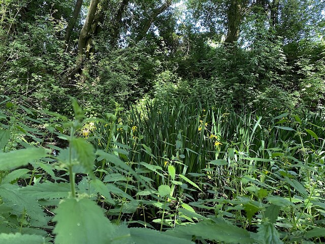
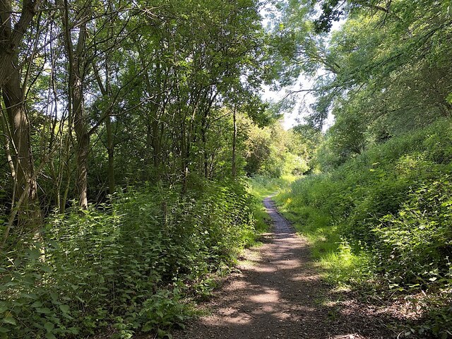
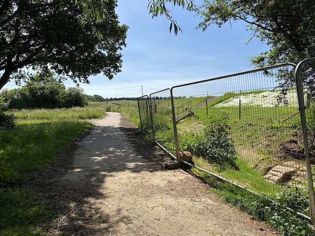
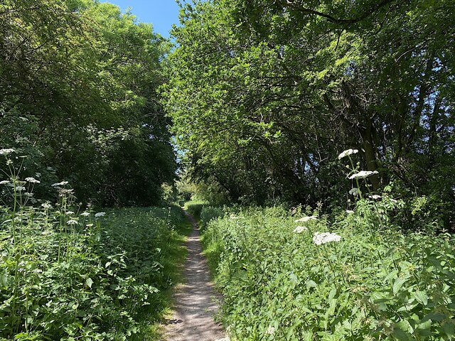
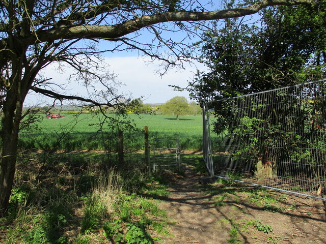
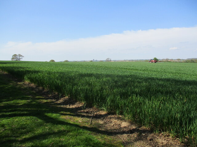
The hill itself is characterized by its gently sloping sides, covered with grass and scattered shrubs, making it a picturesque natural landmark in the surrounding countryside. Hunningham Hill offers panoramic views of the Warwickshire landscape, providing visitors with stunning vistas of the rolling hills and fields that stretch out in all directions.

In addition to its scenic beauty, Hunningham Hill also holds archaeological significance. The site has revealed traces of human activity dating back to ancient times, including the discovery of a Neolithic burial mound at its summit. This suggests that the hill has been a place of human habitation and cultural significance for thousands of years.

Hunningham Hill attracts outdoor enthusiasts, walkers, and nature lovers who enjoy exploring its paths and trails. It offers an opportunity for recreational activities such as hiking and birdwatching, as well as a peaceful escape from the hustle and bustle of urban life.

Overall, Hunningham Hill is a notable geographical feature in Warwickshire, known for its natural beauty, historical significance, and recreational opportunities.

If you have any feedback on the listing, please let us know in the comments section below.

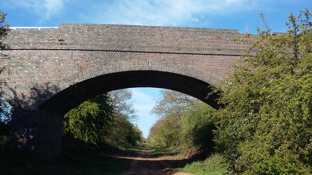
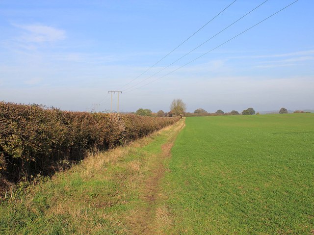
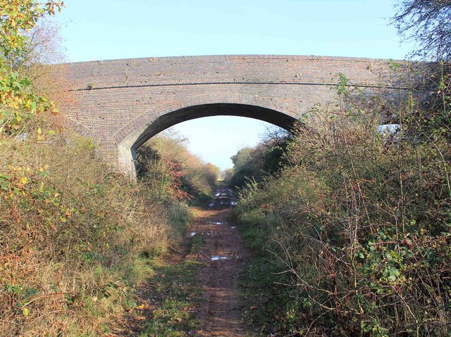
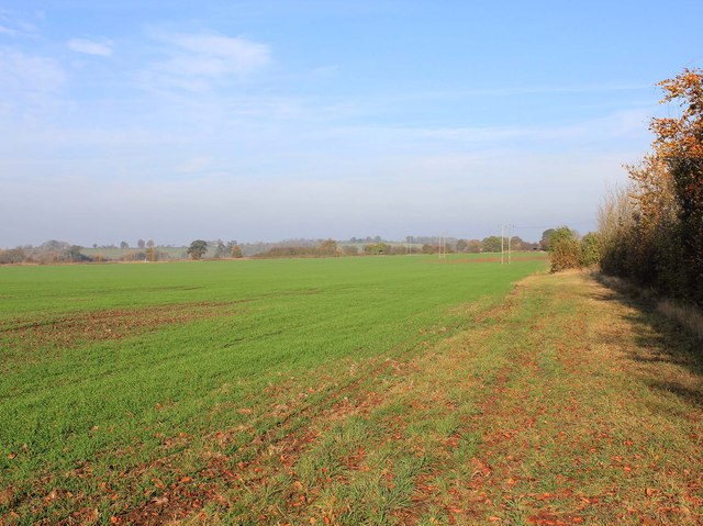
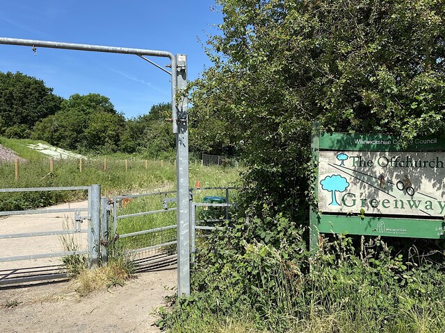
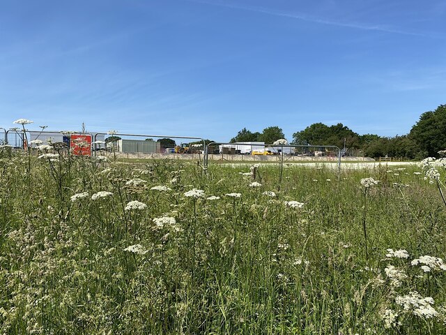
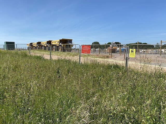
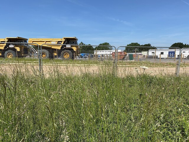
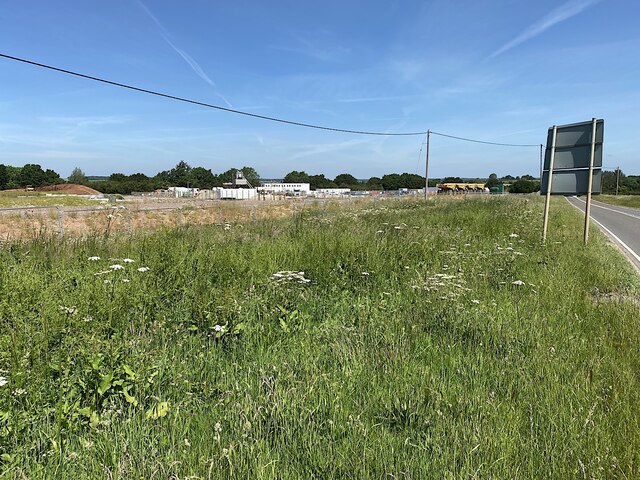
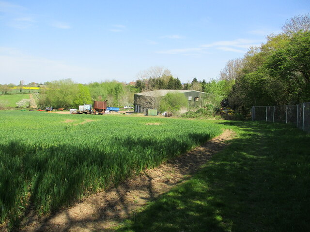
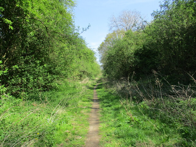
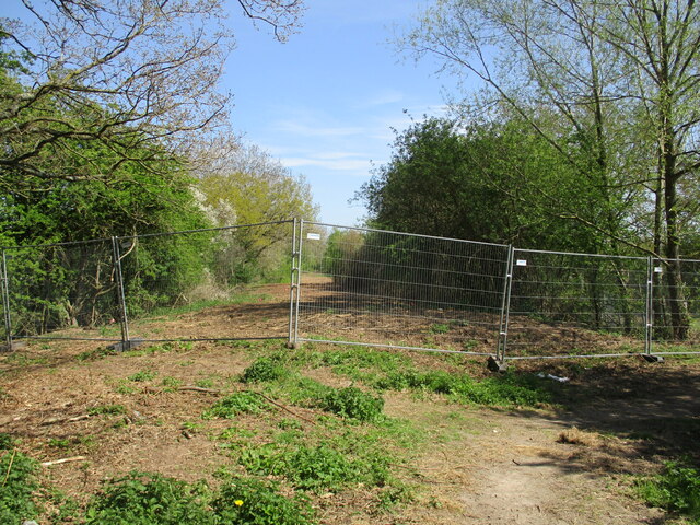
Hunningham Hill Images

Images are sourced within 2km of 52.304471/-1.4400127 or Grid Reference SP3867. Thanks to Geograph Open Source API. All images are credited.

Bridge over Lias Line Farm bridge over the disused Rugby to Leamington Railway Line
Bridge over Lias Line
Farm bridge over the disused Rugby to Leamington Railway Line
Bridleway to Marton Looking NNE along the bridleway towards Tithe Farm and Marton.
Bridleway to Marton
Looking NNE along the bridleway towards Tithe Farm and Marton.
Bridge over dismantled railway Looking ENE along the trackbed of the now dismantled Leamington Spa to Rugby railway. The bridge carries a farm track and a bridleway over the railway. Although the trackbed is not an official right of way, it is used as such by walkers and cyclists, although it is very wet and muddy in many places. There is an easy way down from the bridleway onto the trackbed on the far side of the bridge, but on foot only.
Bridge over dismantled railway
Looking ENE along the trackbed of the now dismantled Leamington Spa to Rugby railway. The bridge carries a farm track and a bridleway over the railway. Although the trackbed is not an official right of way, it is used as such by walkers and cyclists, although it is very wet and muddy in many places. There is an easy way down from the bridleway onto the trackbed on the far side of the bridge, but on foot only.
Bridleway north of Newfields Farm View NNE along the bridleway towards Tithe Farm and Marton.
Bridleway north of Newfields Farm
View NNE along the bridleway towards Tithe Farm and Marton.
Flag Iris in a pond by the Offchurch Greenway
Northeast on the Offchurch Greenway, northeast of Sutton Spinney
Northeastern end of the Offchurch Greenway The Greenway leaves the line of the former railway and turns southeast to exit on to the B4455 Fosse Way. To the right is the boundary of a large site occupied by HS2 contractors.
Northeastern end of the Offchurch Greenway
The Greenway leaves the line of the former railway and turns southeast to exit on to the B4455 Fosse Way. To the right is the boundary of a large site occupied by HS2 contractors.
Southwest on the Offchurch Greenway from its northeastern end
Northeast end of the Offchurch Greenway The approach from the small setback from the fast B4455 Fosse Way. In the background is the northeast end of a large site occupied by the HS2 contractors.
Northeast end of the Offchurch Greenway
The approach from the small setback from the fast B4455 Fosse Way. In the background is the northeast end of a large site occupied by the HS2 contractors.
HS2 enabling works, Welsh Road area, June 2021 (11) This is the northeast edge of what turned out to be a large compound for HS2 contractors, seen from Fosse Way verge.
HS2 enabling works, Welsh Road area, June 2021 (11)
This is the northeast edge of what turned out to be a large compound for HS2 contractors, seen from Fosse Way verge.
HS2 enabling works, Welsh Road area, June 2021 (12) Another view from beside the Fosse Way into the contractors' compound. The four giant dump trucks are a reminder of the amassing of machines seen up the line near the canal: <a href="https://www.geograph.org.uk/photo/6890450">SP3864 : HS2 enabling works, Welsh Road area, April 2021 (9)</a>.
HS2 enabling works, Welsh Road area, June 2021 (12)
Another view from beside the Fosse Way into the contractors' compound. The four giant dump trucks are a reminder of the amassing of machines seen up the line near the canal: SP3864 : HS2 enabling works, Welsh Road area, April 2021 (9).
HS2 enabling works, Welsh Road area, June 2021 (13) Another view from beside the Fosse Way into the contractors' compound. It felt like a village. With each laborious step along the verge my jaw dropped a little bit further. The site occupies much of the area bounded by the Offchurch Greenway, Fosse Way, and the Long Itchington Road – seven hectares at a rough estimate. Sutton Spinney does not appear to be included in the site. Are they offices in the distance, or accommodation?
HS2 enabling works, Welsh Road area, June 2021 (13)
Another view from beside the Fosse Way into the contractors' compound. It felt like a village. With each laborious step along the verge my jaw dropped a little bit further. The site occupies much of the area bounded by the Offchurch Greenway, Fosse Way, and the Long Itchington Road – seven hectares at a rough estimate. Sutton Spinney does not appear to be included in the site. Are they offices in the distance, or accommodation?
HS2 enabling works, Welsh Road area, June 2021 (15) This is the northern end of the large contractors' compound between the B4455 Fosse Way, right, and the Offchurch Greenway in the background. At a rough estimate it occupies seven hectares.
HS2 enabling works, Welsh Road area, June 2021 (15)
This is the northern end of the large contractors' compound between the B4455 Fosse Way, right, and the Offchurch Greenway in the background. At a rough estimate it occupies seven hectares.
Farm buildings, Fosse Farm
Offchurch Greenway A cycleway along the route of the former Leamington Spa to Rugby railway line.
Offchurch Greenway
A cycleway along the route of the former Leamington Spa to Rugby railway line.
Turn left or right The eastern end of the Offchurch Greenway is closed during HS2 construction. Turning left leads to a public footpath. Turning right leads to the Fosse Way.
Turn left or right
The eastern end of the Offchurch Greenway is closed during HS2 construction. Turning left leads to a public footpath. Turning right leads to the Fosse Way.
Exit from the Offchurch Greenway Leads to a footpath linking Offchurch to the Fosse Way.
Exit from the Offchurch Greenway
Leads to a footpath linking Offchurch to the Fosse Way.
Wheat near Offchurch A sprayer on the far side of the field.
Wheat near Offchurch
A sprayer on the far side of the field.
Show me another place!

Hunningham Hill is located at Grid Ref: SP3867 (Lat: 52.304471, Lng: -1.4400127)

Administrative County: Warwickshire

District: Warwick

Police Authority: Warwickshire

What 3 Words

///hails.pats.sweetly. Near Long Itchington, Warwickshire

Related Wikis

Nearby Amenities

Located within 500m of 52.304471,-1.4400127
Barrier: stile
Stile: stepover
Lat/Long: 52.3049076/-1.4449509
Post Box
Collection Times: Mo-Fr 09:00; Sa 07:00
Operator: Royal Mail
Post Box Type: lamp
Ref: CV33 151
Royal Cypher: EIIR
Royal Cypher Wikidata: Q33102113
Source: survey
Lat/Long: 52.3032457/-1.4419789
Stop
Direction: backward
Source: survey
Lat/Long: 52.3036271/-1.4416438
Hunningham Hill
Place: locality
Source: OS-OpenData_StreetView
Lat/Long: 52.3035995/-1.4410952
Barrier: stile
Stile: stepover
Lat/Long: 52.3042351/-1.4428233
The data included in this document is from www.openstreetmap.org. The data is made available under ODbL.

Have you been to Hunningham Hill?

Leave your review of Hunningham Hill below (or comments, questions and feedback).