Hunningham Hill

Settlement in Warwickshire Warwick

England

Hunningham Hill

HS2 in the Leam Valley, June 2021 (2) HS2 will cross the picture in a cutting through the field second from the camera. This view is some way to the right of <a href="https://www.geograph.org.uk/photo/6902780">SP3568 : HS2 in the Leam Valley, June 2021 (1)</a>, from further up Welsh Road. Some field boundaries are missing.
HS2 in the Leam Valley, June 2021 (2) Credit: Robin Stott

Hunningham Hill is a small village located in the county of Warwickshire, England. Situated approximately 5 miles southeast of the town of Leamington Spa, it is nestled amidst the picturesque countryside of the Avon Valley.

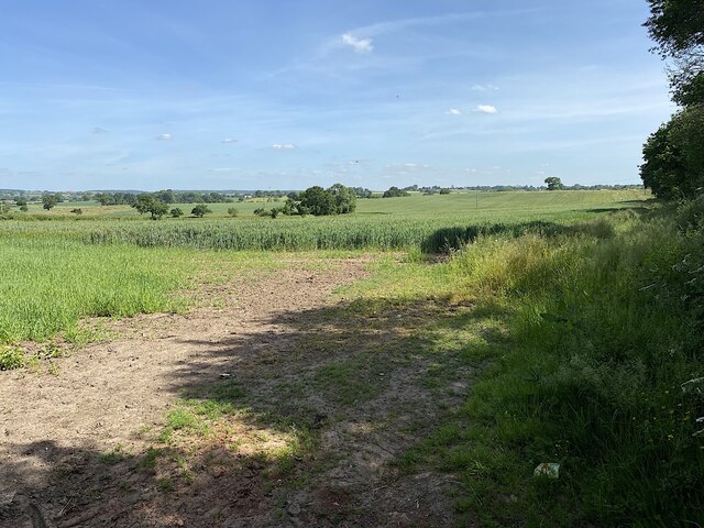
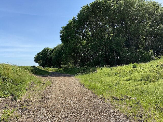
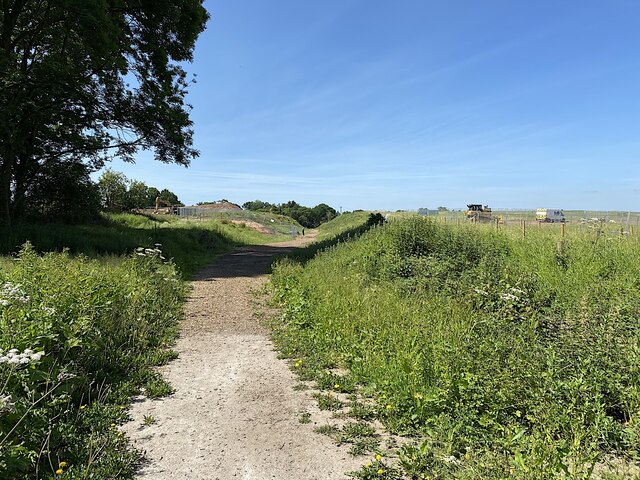
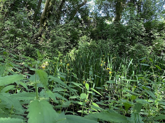
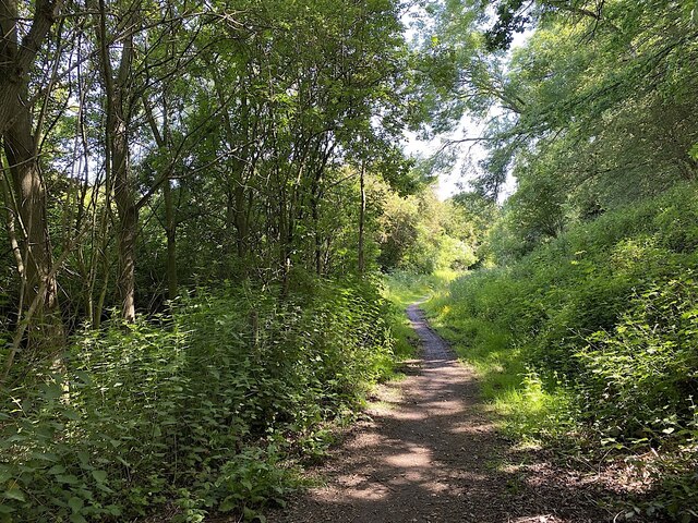
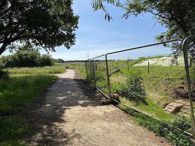
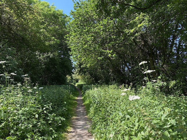
The village is characterized by its charming rural setting, with rolling hills and expansive fields surrounding the area. Hunningham Hill itself, from which the village takes its name, is a prominent landmark that offers breathtaking panoramic views of the surrounding countryside.

The village is home to a close-knit community, with a population of around 500 residents. The village center features a scattering of traditional stone houses and cottages, some of which date back several centuries, giving the area a sense of historical charm. The local church, St. Margaret's, is a notable landmark, displaying beautiful architecture and a peaceful atmosphere.

Despite its small size, Hunningham Hill offers a range of amenities for its residents. These include a village hall, a primary school, and a post office. The village also benefits from its proximity to larger towns and cities, such as Leamington Spa and Coventry, which offer a wider array of shops, services, and entertainment options.

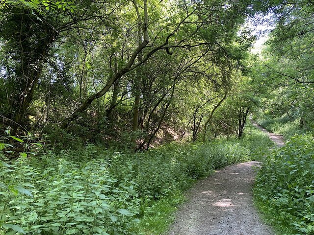
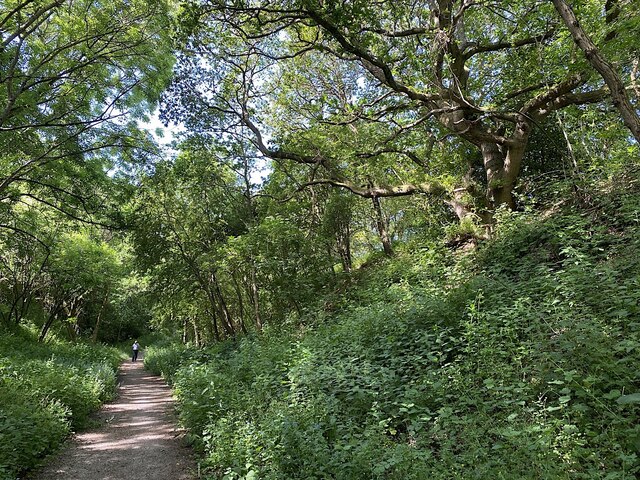
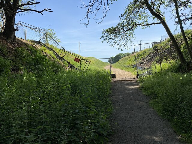
Hunningham Hill is a haven for those who appreciate the tranquility of rural living, with numerous opportunities for outdoor activities such as hiking, cycling, and horse riding. The village's idyllic setting, combined with its strong sense of community, makes it an attractive place to reside for those seeking a peaceful and picturesque lifestyle.

If you have any feedback on the listing, please let us know in the comments section below.

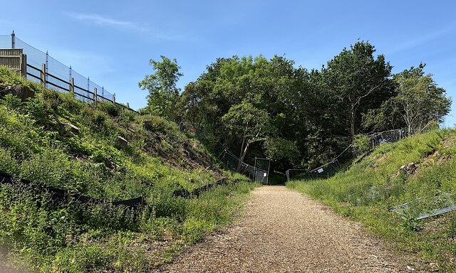
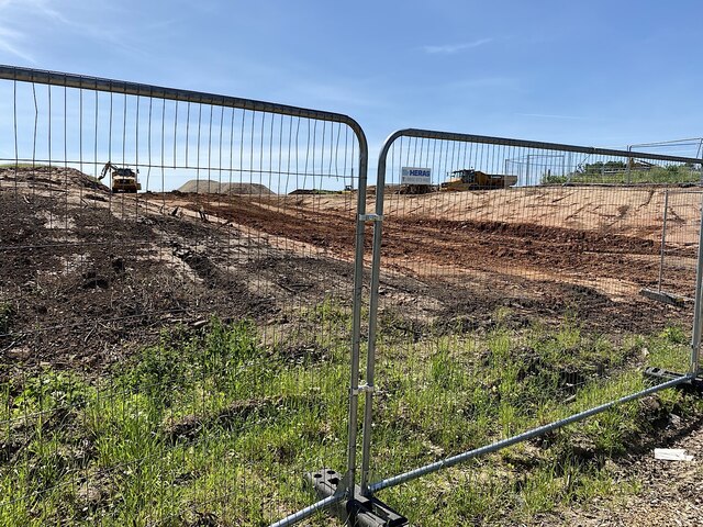
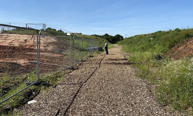
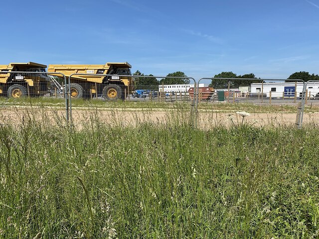
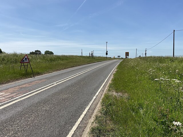
Hunningham Hill Images

Images are sourced within 2km of 52.299816/-1.4441775 or Grid Reference SP3867. Thanks to Geograph Open Source API. All images are credited.

HS2 in the Leam Valley, June 2021 (2) HS2 will cross the picture in a cutting through the field second from the camera. This view is some way to the right of <a href="https://www.geograph.org.uk/photo/6902780">SP3568 : HS2 in the Leam Valley, June 2021 (1)</a>, from further up Welsh Road. Some field boundaries are missing.
HS2 in the Leam Valley, June 2021 (2)
HS2 will cross the picture in a cutting through the field second from the camera. This view is some way to the right of SP3568 : HS2 in the Leam Valley, June 2021 (1), from further up Welsh Road. Some field boundaries are missing.
HS2 enabling works, Welsh Road area, June 2021 (4) Because the former railway cutting was filled in to create the road junction <a href="https://www.geograph.org.uk/photo/6902994">SP3665 : HS2 enabling works, Welsh Road area, June 2021 (2)</a>, the Greenway has to drop down steeply to reach trackbed level.
HS2 enabling works, Welsh Road area, June 2021 (4)
Because the former railway cutting was filled in to create the road junction SP3665 : HS2 enabling works, Welsh Road area, June 2021 (2), the Greenway has to drop down steeply to reach trackbed level.
HS2 enabling works, Welsh Road area, June 2021 (5) The banks of the old railway cutting are rich with plant life; the air full of birdsong. The man approaching turned out to be from one of the HS2 contractors in the area.
HS2 enabling works, Welsh Road area, June 2021 (5)
The banks of the old railway cutting are rich with plant life; the air full of birdsong. The man approaching turned out to be from one of the HS2 contractors in the area.
HS2 enabling works, Welsh Road area, June 2021 (6) The scene shows that the Offchurch Greenway was reopened after a temporary closure in autumn 2020, as notified here <a href="https://www.geograph.org.uk/photo/6903008">SP3665 : HS2 enabling works, Welsh Road area, June 2021 (3)</a>. The reason for the closure is not known but, speculating, it was to fell trees on the banks or to facilitate surveying. HS2 will cross the Greenway just this side of Sutton Spinney, ahead.
HS2 enabling works, Welsh Road area, June 2021 (6)
The scene shows that the Offchurch Greenway was reopened after a temporary closure in autumn 2020, as notified here SP3665 : HS2 enabling works, Welsh Road area, June 2021 (3). The reason for the closure is not known but, speculating, it was to fell trees on the banks or to facilitate surveying. HS2 will cross the Greenway just this side of Sutton Spinney, ahead.
HS2 enabling works, Welsh Road area, June 2021 (7) This view is the reverse of <a href="https://www.geograph.org.uk/photo/6904996">SP3665 : HS2 enabling works, Welsh Road area, June 2021 (6)</a>, showing the tree stumps left and right. The Greenway will cross HS2 (behind the camera) on a 'green overbridge'. Perhaps this is where the bike-friendly ramp will start.
HS2 enabling works, Welsh Road area, June 2021 (7)
This view is the reverse of SP3665 : HS2 enabling works, Welsh Road area, June 2021 (6), showing the tree stumps left and right. The Greenway will cross HS2 (behind the camera) on a 'green overbridge'. Perhaps this is where the bike-friendly ramp will start.
HS2 enabling works, Welsh Road area, June 2021 (8) The plans show that HS2 will cross the Offchurch Greenway right here, just west of Sutton Spinney behind the camera. There is much earth to be moved to form a wide cutting. See <span class="nowrap"><a title="https://assets.publishing.service.gov.uk/government/uploads/system/uploads/attachment_data/file/532883/C223-CSI-CV-DPP-030-000003-FPD.pdf" rel="nofollow ugc noopener" href="https://assets.publishing.service.gov.uk/government/uploads/system/uploads/attachment_data/file/532883/C223-CSI-CV-DPP-030-000003-FPD.pdf">Link</a><img style="margin-left:2px;" alt="External link" title="External link - shift click to open in new window" src="https://s1.geograph.org.uk/img/external.png" width="10" height="10"/></span> just to the right of the 132+000 km mark. This view continues to the right with <a href="https://www.geograph.org.uk/photo/6907982">SP3665 : HS2 enabling works, Welsh Road area, June 2021 (9)</a>.
HS2 enabling works, Welsh Road area, June 2021 (8)
The plans show that HS2 will cross the Offchurch Greenway right here, just west of Sutton Spinney behind the camera. There is much earth to be moved to form a wide cutting. See LinkExternal link just to the right of the 132+000 km mark. This view continues to the right with SP3665 : HS2 enabling works, Welsh Road area, June 2021 (9).
HS2 enabling works, Welsh Road area, June 2021 (9) The plans show that HS2 will cross the Offchurch Greenway right here, just west of Sutton Spinney behind the camera. See <span class="nowrap"><a title="https://assets.publishing.service.gov.uk/government/uploads/system/uploads/attachment_data/file/532883/C223-CSI-CV-DPP-030-000003-FPD.pdf" rel="nofollow ugc noopener" href="https://assets.publishing.service.gov.uk/government/uploads/system/uploads/attachment_data/file/532883/C223-CSI-CV-DPP-030-000003-FPD.pdf">Link</a><img style="margin-left:2px;" alt="External link" title="External link - shift click to open in new window" src="https://s1.geograph.org.uk/img/external.png" width="10" height="10"/></span> just to the right of the 132+000 km mark The man observing the work was from one of the contractors. He was courteous, informed, and relaxed in talking about work in progress here and elsewhere including changes to the published plans. This view continues to the left with <a href="https://www.geograph.org.uk/photo/6907972">SP3665 : HS2 enabling works, Welsh Road area, June 2021 (8)</a>.
HS2 enabling works, Welsh Road area, June 2021 (9)
The plans show that HS2 will cross the Offchurch Greenway right here, just west of Sutton Spinney behind the camera. See LinkExternal link just to the right of the 132+000 km mark The man observing the work was from one of the contractors. He was courteous, informed, and relaxed in talking about work in progress here and elsewhere including changes to the published plans. This view continues to the left with SP3665 : HS2 enabling works, Welsh Road area, June 2021 (8).
Sutton Spinney, Offchurch Greenway HS2 will run just behind the camera. The Greenway will cross the line by a bike-friendly 'green overbridge', touching down somewhere ahead.
Sutton Spinney, Offchurch Greenway
HS2 will run just behind the camera. The Greenway will cross the line by a bike-friendly 'green overbridge', touching down somewhere ahead.
HS2 enabling works, Welsh Road area, June 2021 (10) HS2 will cross the picture in a cutting. Earthworks have some way to go. The Offchurch Greenway will cross the line by a 'green overbridge'.
HS2 enabling works, Welsh Road area, June 2021 (10)
HS2 will cross the picture in a cutting. Earthworks have some way to go. The Offchurch Greenway will cross the line by a 'green overbridge'.
Flag Iris in a pond by the Offchurch Greenway
Northeast on the Offchurch Greenway, northeast of Sutton Spinney
Northeastern end of the Offchurch Greenway The Greenway leaves the line of the former railway and turns southeast to exit on to the B4455 Fosse Way. To the right is the boundary of a large site occupied by HS2 contractors.
Northeastern end of the Offchurch Greenway
The Greenway leaves the line of the former railway and turns southeast to exit on to the B4455 Fosse Way. To the right is the boundary of a large site occupied by HS2 contractors.
Southwest on the Offchurch Greenway from its northeastern end
Northeast end of the Offchurch Greenway The approach from the small setback from the fast B4455 Fosse Way. In the background is the northeast end of a large site occupied by the HS2 contractors.
Northeast end of the Offchurch Greenway
The approach from the small setback from the fast B4455 Fosse Way. In the background is the northeast end of a large site occupied by the HS2 contractors.
HS2 enabling works, Welsh Road area, June 2021 (11) This is the northeast edge of what turned out to be a large compound for HS2 contractors, seen from Fosse Way verge.
HS2 enabling works, Welsh Road area, June 2021 (11)
This is the northeast edge of what turned out to be a large compound for HS2 contractors, seen from Fosse Way verge.
HS2 enabling works, Welsh Road area, June 2021 (12) Another view from beside the Fosse Way into the contractors' compound. The four giant dump trucks are a reminder of the amassing of machines seen up the line near the canal: <a href="https://www.geograph.org.uk/photo/6890450">SP3864 : HS2 enabling works, Welsh Road area, April 2021 (9)</a>.
HS2 enabling works, Welsh Road area, June 2021 (12)
Another view from beside the Fosse Way into the contractors' compound. The four giant dump trucks are a reminder of the amassing of machines seen up the line near the canal: SP3864 : HS2 enabling works, Welsh Road area, April 2021 (9).
HS2 enabling works, Welsh Road area, June 2021 (13) Another view from beside the Fosse Way into the contractors' compound. It felt like a village. With each laborious step along the verge my jaw dropped a little bit further. The site occupies much of the area bounded by the Offchurch Greenway, Fosse Way, and the Long Itchington Road – seven hectares at a rough estimate. Sutton Spinney does not appear to be included in the site. Are they offices in the distance, or accommodation?
HS2 enabling works, Welsh Road area, June 2021 (13)
Another view from beside the Fosse Way into the contractors' compound. It felt like a village. With each laborious step along the verge my jaw dropped a little bit further. The site occupies much of the area bounded by the Offchurch Greenway, Fosse Way, and the Long Itchington Road – seven hectares at a rough estimate. Sutton Spinney does not appear to be included in the site. Are they offices in the distance, or accommodation?
HS2 enabling works, Welsh Road area, June 2021 (14) Southwest on Fosse Way approaching the junction with the Long Itchington Road. The plans show realignments and new provision between the 131 and 132 kilometre marks <span class="nowrap"><a title="https://assets.publishing.service.gov.uk/government/uploads/system/uploads/attachment_data/file/532883/C223-CSI-CV-DPP-030-000003-FPD.pdf" rel="nofollow ugc noopener" href="https://assets.publishing.service.gov.uk/government/uploads/system/uploads/attachment_data/file/532883/C223-CSI-CV-DPP-030-000003-FPD.pdf">Link</a><img style="margin-left:2px;" alt="External link" title="External link - shift click to open in new window" src="https://s1.geograph.org.uk/img/external.png" width="10" height="10"/></span>
HS2 enabling works, Welsh Road area, June 2021 (14)
Southwest on Fosse Way approaching the junction with the Long Itchington Road. The plans show realignments and new provision between the 131 and 132 kilometre marks LinkExternal link
Show me another place!

Hunningham Hill is located at Grid Ref: SP3867 (Lat: 52.299816, Lng: -1.4441775)

Administrative County: Warwickshire

District: Warwick

Police Authority: Warwickshire

What 3 Words

///galloped.river.glider. Near Long Itchington, Warwickshire

Related Wikis

Nearby Amenities

Located within 500m of 52.299816,-1.4441775
Cafe
Hilltop Farm
Cuisine: regional
Lat/Long: 52.3014253/-1.4497208
Post Box
Collection Times: Mo-Fr 09:00; Sa 07:00
Operator: Royal Mail
Post Box Type: lamp
Ref: CV33 151
Royal Cypher: EIIR
Royal Cypher Wikidata: Q33102113
Source: survey
Lat/Long: 52.3032457/-1.4419789
Stop
Direction: backward
Source: survey
Lat/Long: 52.3036271/-1.4416438
Hunningham Hill
Place: locality
Source: OS-OpenData_StreetView
Lat/Long: 52.3035995/-1.4410952
Hilltop Farm Shop
Addr City: Leamington Spa
Addr Postcode: CV33 9EL
Opening Hours: Mo-Sa 09:00-17:00; Su 09:00-16:00
Phone: +441926632978
Shop: deli
Website: https://www.hilltopfarmshop.com
Lat/Long: 52.3013854/-1.4495999
Barrier: stile
Stile: stepover
Lat/Long: 52.3042351/-1.4428233
The data included in this document is from www.openstreetmap.org. The data is made available under ODbL.

Have you been to Hunningham Hill?

Leave your review of Hunningham Hill below (or comments, questions and feedback).