Hunningham

Settlement in Warwickshire Warwick

England

Hunningham

HS2 construction work north of Offchurch: aerial 2021 (1)
HS2 construction work north of Offchurch: aerial 2021 (1) Credit: Simon Tomson

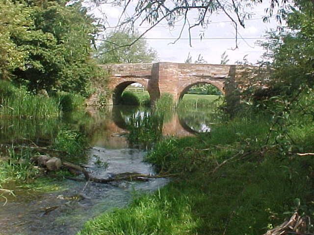
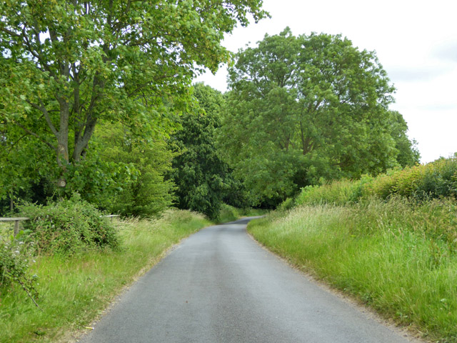
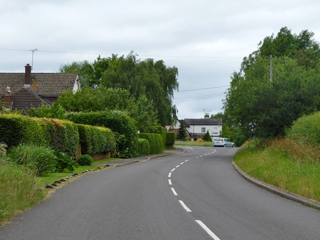
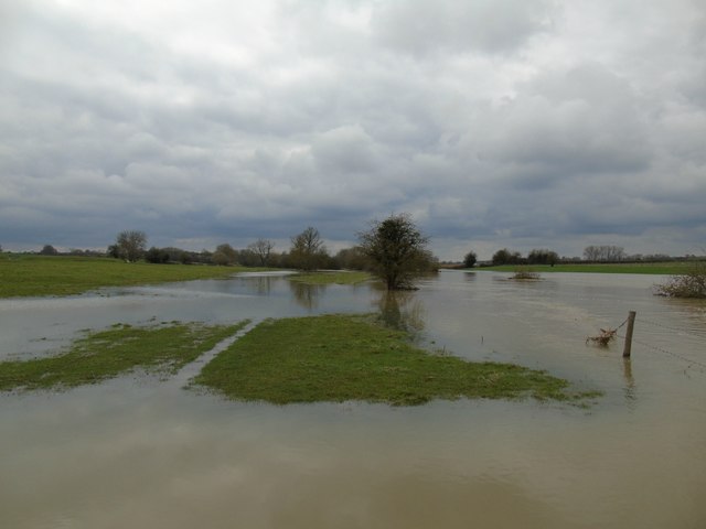
Hunningham is a small village located in the county of Warwickshire, England. Situated approximately 5 miles southwest of the historic town of Warwick, Hunningham is nestled in a rural setting with picturesque scenery and a tranquil atmosphere. The village lies near the banks of the River Leam, adding to its charm.

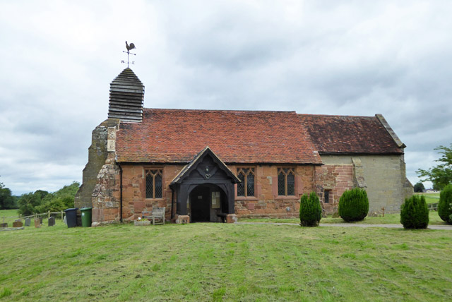
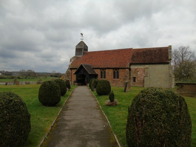
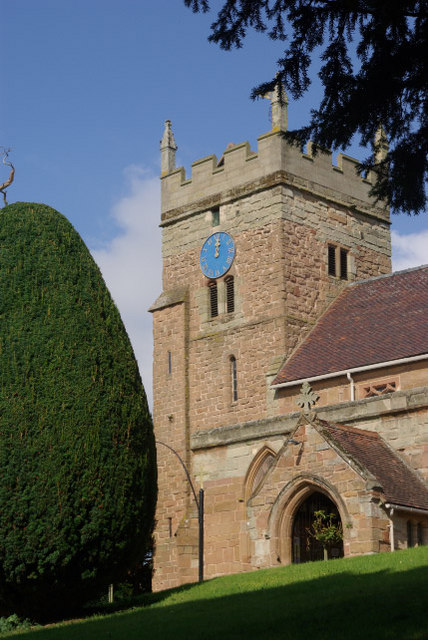
Hunningham is known for its quaint and traditional cottages, many of which date back several centuries, showcasing the village's rich history. The architecture is a mix of different styles, reflecting the changing times and influences over the years. The village center is home to a lovely 12th-century church, St. Margaret's, which serves as a focal point for the community.

Despite its small size, Hunningham boasts a close-knit and friendly community. The village has a primary school that caters to the educational needs of local children. There are also a few local businesses, including a village shop and a pub, providing essential amenities and a place to socialize.

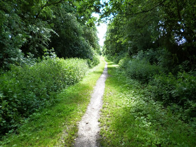
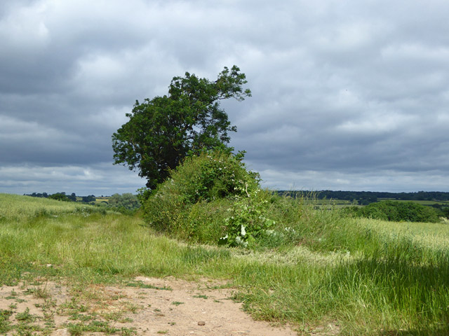
The surrounding countryside offers opportunities for outdoor activities such as walking, cycling, and fishing. The nearby Warwick Castle, a well-preserved medieval fortress, is a popular tourist attraction, drawing visitors from around the world. Hunningham's location also provides easy access to the larger towns of Warwick, Leamington Spa, and Coventry, where residents can find a wider range of amenities, entertainment, and employment opportunities.

In summary, Hunningham is a charming village in Warwickshire, offering a peaceful and idyllic setting, historical architecture, and close community ties. It is an ideal place for those seeking a quiet and rural lifestyle while still having access to nearby urban centers.

If you have any feedback on the listing, please let us know in the comments section below.
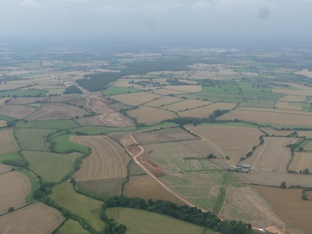
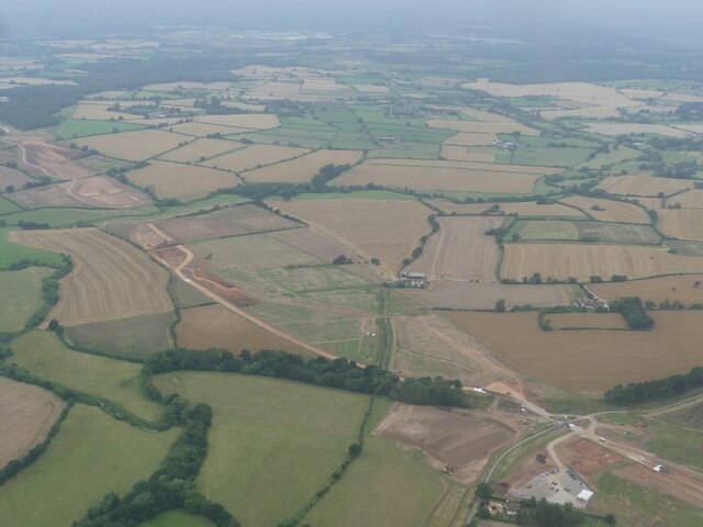
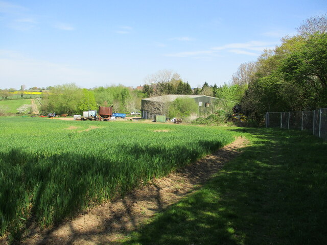
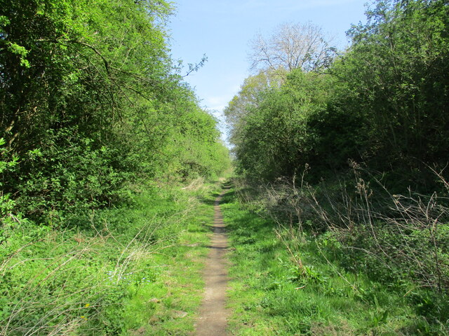
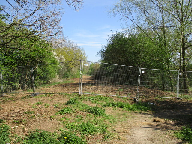
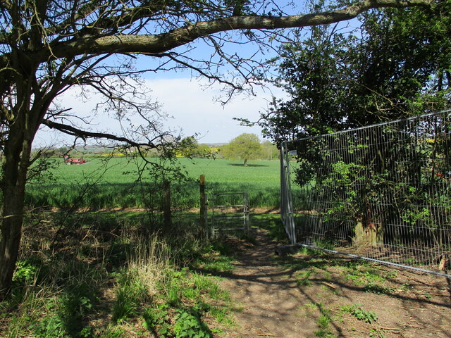
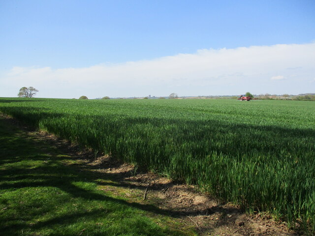
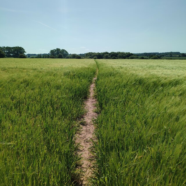
Hunningham Images

Images are sourced within 2km of 52.307613/-1.454055 or Grid Reference SP3767. Thanks to Geograph Open Source API. All images are credited.

HS2 construction work north of Offchurch: aerial 2021 (1)
HS2 construction work north of Offchurch: aerial 2021 (2)
Farm buildings, Fosse Farm
Offchurch Greenway A cycleway along the route of the former Leamington Spa to Rugby railway line.
Offchurch Greenway
A cycleway along the route of the former Leamington Spa to Rugby railway line.
Turn left or right The eastern end of the Offchurch Greenway is closed during HS2 construction. Turning left leads to a public footpath. Turning right leads to the Fosse Way.
Turn left or right
The eastern end of the Offchurch Greenway is closed during HS2 construction. Turning left leads to a public footpath. Turning right leads to the Fosse Way.
Exit from the Offchurch Greenway Leads to a footpath linking Offchurch to the Fosse Way.
Exit from the Offchurch Greenway
Leads to a footpath linking Offchurch to the Fosse Way.
Wheat near Offchurch A sprayer on the far side of the field.
Wheat near Offchurch
A sprayer on the far side of the field.
Footpath to the River Leam
Bridge over the River Leam
Offchurch Greenway The dismantled Rugby-Leamington Line near the Fosseway.
Offchurch Greenway
The dismantled Rugby-Leamington Line near the Fosseway.
Lane from Offchurch to Hunningham
Hedgerow west of Offchurch - Hunningham lane Beyond is the valley of the River Leam.
Hedgerow west of Offchurch - Hunningham lane
Beyond is the valley of the River Leam.
Hunningham church St. Margaret's is a grade II listed building.
Hunningham church
St. Margaret's is a grade II listed building.
Outskirts of Weston under Wetherley Most of the village is off to the left at the junction ahead.
Outskirts of Weston under Wetherley
Most of the village is off to the left at the junction ahead.
Wappenbury Roman Catholic church St. Anne's is administered by the Missionaries of the Sacred Heart, I think it says on the glass porch.
Wappenbury Roman Catholic church
St. Anne's is administered by the Missionaries of the Sacred Heart, I think it says on the glass porch.
Snowford Hill High Bridge The underside of the bridge.The bridge carries an ancient track called Ridgeway Lane (now a county unclassified unmetalled road) over the now-dismantled Rugby to Leamington line. The cutting, approximately 60 feet deep, took the railway through a ridge of high ground between Hunningham Hill and Snowford. 

The single-span wrought-iron bridge is of trussed lattice girder construction and when built in 1851 it was the longest such bridge ever constructed. In later years, four lattice columns and cross-ties were added to reinforce the original structure
Snowford Hill High Bridge
The underside of the bridge.The bridge carries an ancient track called Ridgeway Lane (now a county unclassified unmetalled road) over the now-dismantled Rugby to Leamington line. The cutting, approximately 60 feet deep, took the railway through a ridge of high ground between Hunningham Hill and Snowford. The single-span wrought-iron bridge is of trussed lattice girder construction and when built in 1851 it was the longest such bridge ever constructed. In later years, four lattice columns and cross-ties were added to reinforce the original structure
Hunningham Church
Hunningham Church
River Leam at Hunningham In flood, Easter 2018.
River Leam at Hunningham
In flood, Easter 2018.
Show me another place!

Hunningham is located at Grid Ref: SP3767 (Lat: 52.307613, Lng: -1.454055)

Administrative County: Warwickshire

District: Warwick

Police Authority: Warwickshire

What 3 Words

///broom.lunges.driveways. Near Long Itchington, Warwickshire

Nearby Locations

Hunningham

Related Wikis

Hunningham

Hunningham is a small village and civil parish in Warwickshire, England. It is 3 miles to the north-east of Leamington Spa, within the Radford Semele ward...

Wappenbury

Wappenbury is a small village and civil parish in the English county of Warwickshire. Located on the north bank of the River Leam Wappenbury is almost...

Weston under Wetherley

Weston under Wetherley, often known by locals as just Weston, is a small village and civil parish in Warwickshire, England. It is on the B4453, 4 miles...

Cubbington Pear Tree

The Cubbington Pear Tree was a wild pear tree located near Cubbington in Warwickshire, England. Around 250 years old, it was the second largest wild pear...

Eathorpe

Eathorpe is a small village and civil parish five miles east of Leamington Spa, in Warwickshire, England. The parish is part of the electoral ward of Cubbington...

Offchurch

Offchurch is a village and civil parish on the River Leam, 3 miles (4.8 km) east of Leamington Spa in Warwickshire. The population of the civil parish...

St. Mary's Church, Cubbington

St. Mary's is the parish church of Cubbington, Warwickshire, England. Denominationally it is part of the Church of England. The original church building...

Cubbington

Cubbington is a village and civil parish with a population of 3,929, adjoining the north-eastern outskirts of Leamington Spa, Warwickshire, England, approximately...

Nearby Amenities

Located within 500m of 52.307613,-1.454055
Barrier: kissing_gate
Lat/Long: 52.309823/-1.4549754
Defibrillator
Emergency: defibrillator
Source: survey
Lat/Long: 52.309723/-1.4548251
Fire Hydrant
Emergency: fire_hydrant
Fire Hydrant Type: underground
Source: survey
Water Source: main
Lat/Long: 52.3091566/-1.4523091
Bench
Lat/Long: 52.3100779/-1.4553003
Barrier: kissing_gate
Lat/Long: 52.3092344/-1.4535329
Colour: Red
Inscription: NTS
Marker: post
Utility: gas
Lat/Long: 52.3083383/-1.4492691
Colour: Red
Inscription: NTS
Marker: post
Utility: gas
Lat/Long: 52.308393/-1.4492478
Generator Method: photovoltaic
Generator Output Electricity: yes
Generator Source: solar
Generator Type: solar_photovoltaic_panel
Location: roof
Power: generator
Lat/Long: 52.3088082/-1.4554028
The data included in this document is from www.openstreetmap.org. The data is made available under ODbL.

Have you been to Hunningham?

Leave your review of Hunningham below (or comments, questions and feedback).