Scholey Hill

Hill, Mountain in Yorkshire

England

Scholey Hill

Railway bridge over the River Calder Carrying the Methley Junction to Whitwood Junction curve over the river.
Railway bridge over the River Calder Credit: DS Pugh

Scholey Hill is a prominent geographical feature located in the county of Yorkshire, England. Situated in the northern part of the region, it is classified as a hill or mountain due to its significant elevation. Scholey Hill stands at an impressive height of approximately 1,170 feet (357 meters) above sea level, making it one of the highest points in the area.

The hill is positioned within the scenic landscape of the Yorkshire Dales National Park, offering breathtaking views of the surrounding countryside. Its location provides visitors with an opportunity to observe the picturesque valleys, rolling hills, and charming villages that characterise the region.

Scholey Hill is renowned for its rich historical significance and archaeological importance. The hill is home to several ancient stone circles and burial mounds, which date back thousands of years. These relics serve as a testament to the area's prehistoric past, attracting archaeologists and history enthusiasts alike.

Additionally, the hill offers various recreational activities for outdoor enthusiasts. Hiking and walking trails are available for individuals seeking to explore the natural beauty of the Yorkshire Dales. The challenging terrain of Scholey Hill also attracts climbers and mountaineers, who can test their skills on the steep slopes and rocky outcrops.

The hill's diverse wildlife is another notable feature. Visitors may encounter a range of species, including birds of prey, small mammals, and various plant types. Scholey Hill provides a valuable habitat for these creatures, contributing to the biodiversity of the region.

Overall, Scholey Hill in Yorkshire offers visitors a combination of natural beauty, historical significance, and recreational opportunities, making it a popular destination for both locals and tourists.

If you have any feedback on the listing, please let us know in the comments section below.
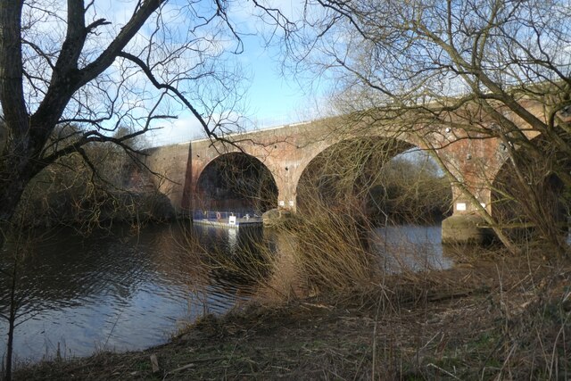
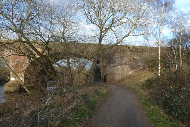
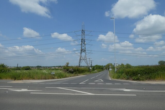
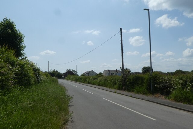
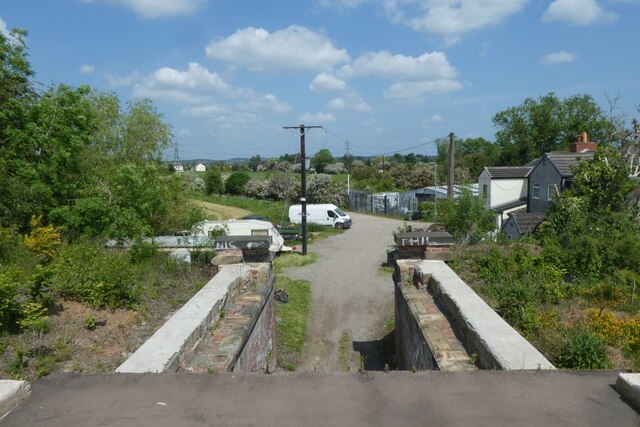
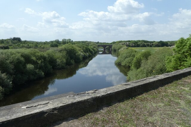
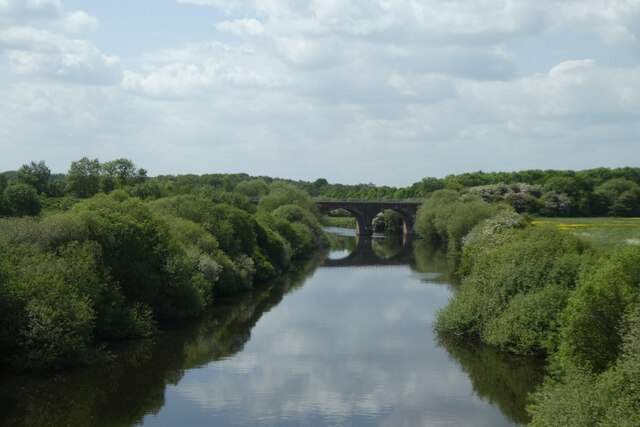
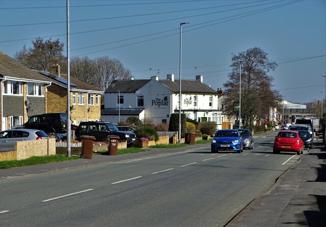
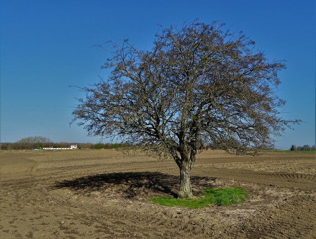
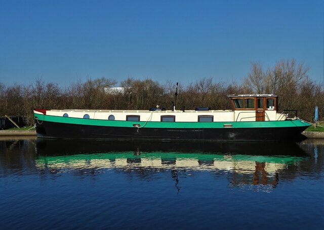
Scholey Hill Images

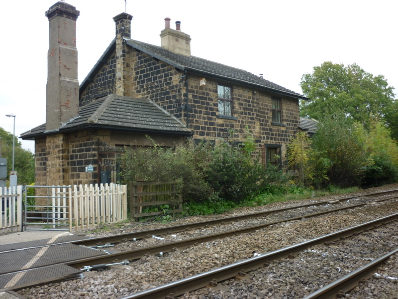
Images are sourced within 2km of 53.727561/-1.4210461 or Grid Reference SE3825. Thanks to Geograph Open Source API. All images are credited.

Railway bridge over the River Calder Carrying the Methley Junction to Whitwood Junction curve over the river.
Railway bridge over the River Calder
Carrying the Methley Junction to Whitwood Junction curve over the river.
Towpath and rail bridge The bridge carries the Methley Junction to Whitwood Junction curve over the river and towpath.
Towpath and rail bridge
The bridge carries the Methley Junction to Whitwood Junction curve over the river and towpath.
Path east of a rail bridge Looking along a cycle path on the south side of the River Calder.
Path east of a rail bridge
Looking along a cycle path on the south side of the River Calder.
Towards the railway embankment Carrying the Methley Junction to Whitwood Junction curve having crossed the River Calder.
Towards the railway embankment
Carrying the Methley Junction to Whitwood Junction curve having crossed the River Calder.
Pinfold Lane Looking onto Pinfold Lane from Barnsdale Road.
Pinfold Lane
Looking onto Pinfold Lane from Barnsdale Road.
Low Common Low Common viewed from Barnsdale Road.
Low Common
Low Common viewed from Barnsdale Road.
Looking down from a former railway bridge The former railway is now a path bethween Methley Junction and Glasshoughton.
Looking down from a former railway bridge
The former railway is now a path bethween Methley Junction and Glasshoughton.
Upstream from a former railway bridge Crossing the River Calder on a former railway line between Glasshoughton and Methley Junction.
Upstream from a former railway bridge
Crossing the River Calder on a former railway line between Glasshoughton and Methley Junction.
Current railway bridge from a former bridge Crossing the River Calder on a former railway line between Glasshoughton and Methley Junction and looking upstream. The bridge in view carries the North to East curve of Methley Junction between Castleford and Woodlesford.
Current railway bridge from a former bridge
Crossing the River Calder on a former railway line between Glasshoughton and Methley Junction and looking upstream. The bridge in view carries the North to East curve of Methley Junction between Castleford and Woodlesford.
Remains of old Lemonroyd locks The old locks that were abandoned when the new river course was diverted after the collapse of St Aidan's coal opencast site in the 1980s.
Remains of old Lemonroyd locks
The old locks that were abandoned when the new river course was diverted after the collapse of St Aidan's coal opencast site in the 1980s.
Heading for Leeds A narrow boat and floating rubbish skip heading towards Lemonroyd locks on the Aire and Calder Navigation canal.
Heading for Leeds
A narrow boat and floating rubbish skip heading towards Lemonroyd locks on the Aire and Calder Navigation canal.
Old mooring posts Posts situated on the site of the old Lemonroyd Locks, now abandoned.
Old mooring posts
Posts situated on the site of the old Lemonroyd Locks, now abandoned.
Church Road, Altofts Looking to "The Poplar" public house
Church Road, Altofts
Looking to "The Poplar" public house
Hawthorn tree south of a canal In the parish of Altofts. The canal in question is The Aire And Calder Navigation Canal. You can see a narrow boat sitting on the canal left of the tree.
Hawthorn tree south of a canal
In the parish of Altofts. The canal in question is The Aire And Calder Navigation Canal. You can see a narrow boat sitting on the canal left of the tree.
By The Aire and Calder Navigation Canal Detail of a working boat. Most craft ply this canal for pleasure these days but some working boats remain. Originally an oil barge, The Easedale was altered to carry sand and gravel.
By The Aire and Calder Navigation Canal
Detail of a working boat. Most craft ply this canal for pleasure these days but some working boats remain. Originally an oil barge, The Easedale was altered to carry sand and gravel.
"The Wunjo" Narrow boat moored on The Aire and Calder Navigation Canal
"The Wunjo"
Narrow boat moored on The Aire and Calder Navigation Canal
The causeway at St Aidan's Nature Park, Leeds
Dark-edged Bee-fly (Bombylius major), St Aidan's Nature Park, Leeds
Show me another place!

Scholey Hill is located at Grid Ref: SE3825 (Lat: 53.727561, Lng: -1.4210461)

Division: West Riding

Unitary Authority: Leeds

Police Authority: West Yorkshire

What 3 Words

///nails.toasters.chipper. Near Methley, West Yorkshire

Nearby Locations

Scholey Hill Scholey Hill

Related Wikis

Methley Junction railway station

Methley Junction railway station was one of three stations that served the village of Methley, West Yorkshire, England. It opened on 1 October 1849 and...

Methley South railway station

Methley South railway station was one of three stations that served the village of Methley, West Yorkshire, England. The station was built by the Methley...

Altofts railway station

Altofts railway station served the village of Altofts near Normanton in the English county of West Yorkshire. It was opened in 1870 as Altofts and Whitwood...

Methley railway station

Methley railway station was opened in 1841 by the North Midland Railway on its line from Derby to Leeds. At one time, there were three railway stations...

Nearby Amenities

Located within 500m of 53.727561,-1.4210461
Bus Stop
Watergate
Local Ref: 45014661
Naptan AtcoCode: 450014661
Naptan Bearing: SW
Naptan CommonName: Watergate
Naptan Crossing: Park Lane
Naptan Indicator: Stop 45014661
Naptan Notes: Stop relocated 02/05/07
Naptan PlusbusZoneRef: LEEDS
Naptan ShortCommonName: Watergate
Naptan Street: Watergate (Scholey Hill End)
Naptan Verified: no
Source: naptan_import
Lat/Long: 53.7286386/-1.4172173
Bus Stop
Scholey Hill Mexborough Arms
Local Ref: 45014662
Naptan AtcoCode: 450014662
Naptan Bearing: E
Naptan CommonName: Scholey Hill Mexborough Arms
Naptan Crossing: Park Lane
Naptan Indicator: Stop 45014662
Naptan Landmark: Mexbrorough Arms PH
Naptan PlusbusZoneRef: LEEDS
Naptan ShortCommonName: Watergate
Naptan Street: Watergate
Naptan Verified: no
Source: naptan_import
Lat/Long: 53.7277412/-1.4249599
Bus Stop
Watergate
Bus: yes
Local Ref: 45027547
Naptan AtcoCode: 450027547
Naptan Bearing: NE
Naptan BusStopType: CUS
Naptan CommonName: Watergate
Naptan Indicator: Stop 45027547
Naptan Notes: Dummy Stop to support the BD status of A/n 14661 - 010306
Naptan PlusbusZoneRef: LEEDS
Naptan ShortCommonName: Watergate
Naptan Street: Watergate
Naptan Verified: no
Public Transport: platform
Source: naptan_import
Lat/Long: 53.7286932/-1.417353
Bus Stop
Scholey Hill Mexborough Arms
Bus: yes
Local Ref: 45050208
Naptan AtcoCode: 450050208
Naptan Bearing: W
Naptan BusStopType: CUS
Naptan CommonName: Scholey Hill Mexborough Arms
Naptan Indicator: Stop 45050208
Naptan PlusbusZoneRef: LEEDS
Naptan ShortCommonName: Watergate
Naptan Street: Watergate
Naptan Verified: no
Public Transport: platform
Source: naptan_import
Lat/Long: 53.7276782/-1.4249456
Barrier: horse_stile
Lat/Long: 53.7279433/-1.4190395
Barrier: motorcycle_barrier
Lat/Long: 53.7279537/-1.4190078
Waste Basket
Colour: black
Material: metal
Operator: Leeds City Council
Lat/Long: 53.727948/-1.4189839
The data included in this document is from www.openstreetmap.org. The data is made available under ODbL.

Have you been to Scholey Hill?

Leave your review of Scholey Hill below (or comments, questions and feedback).