Frizmore Hill

Hill, Mountain in Warwickshire Warwick

England

Frizmore Hill

Grass field off the Fosse Way
Grass field off the Fosse Way Credit: Jonathan Thacker

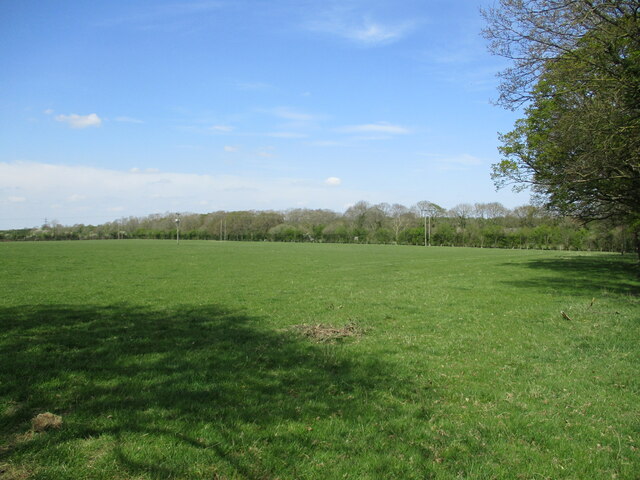
Frizmore Hill is a prominent natural feature located in the picturesque county of Warwickshire, England. Situated in the heart of the county, this hill offers breathtaking views of the surrounding countryside and is a popular destination for nature enthusiasts and hikers alike.

Rising to an elevation of approximately 300 meters, Frizmore Hill is often referred to as a hill rather than a mountain due to its moderate height. Nevertheless, its commanding presence in the landscape makes it a notable landmark in the region. The hill's gentle slopes are covered in lush greenery, adorned with a variety of native flora and fauna.

The ascent to Frizmore Hill is well-marked, with a network of trails leading visitors to its summit. Along the way, hikers can enjoy the tranquil ambiance of the countryside, spotting wildlife such as deer and various bird species. As the hill reaches its peak, visitors are rewarded with panoramic views across Warwickshire and beyond, making it an ideal spot for photography enthusiasts.

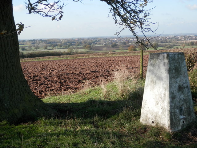
Frizmore Hill also holds historical significance, with traces of ancient settlements and burial mounds found in the vicinity. Archaeological excavations have uncovered artifacts from different periods, providing valuable insights into the area's past.

Access to Frizmore Hill is convenient, with ample parking facilities available nearby. Additionally, the surrounding area boasts a range of amenities, including picnic areas, cafes, and visitor centers, ensuring a comfortable and enjoyable experience for all who venture to this enchanting hill in Warwickshire.

If you have any feedback on the listing, please let us know in the comments section below.

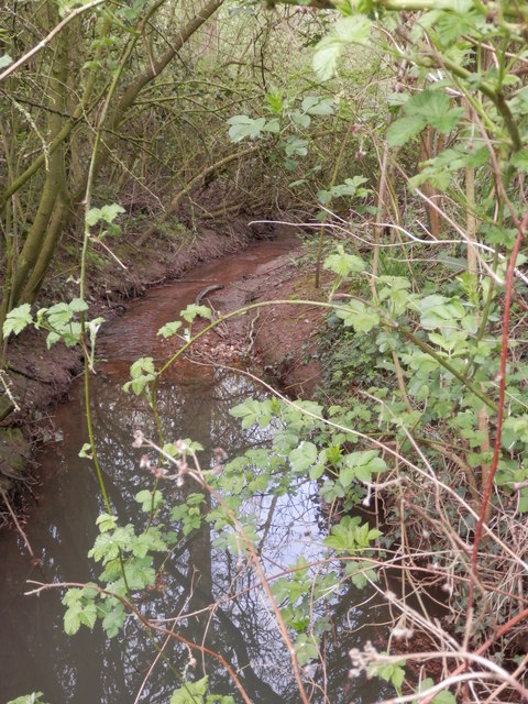
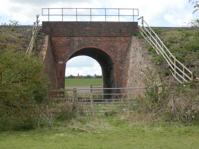
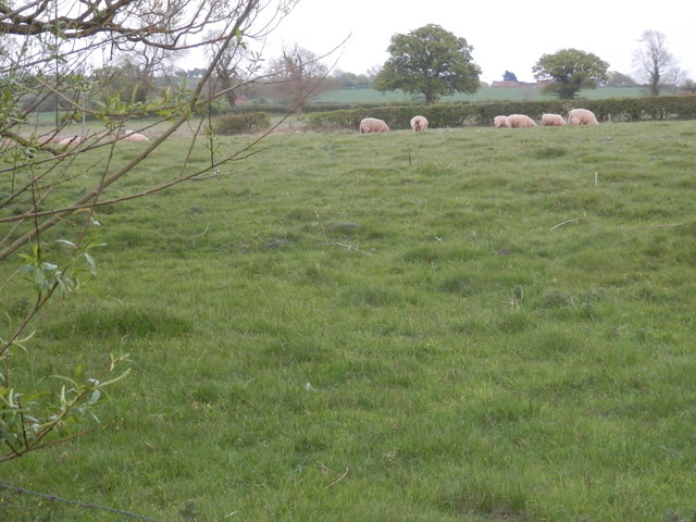
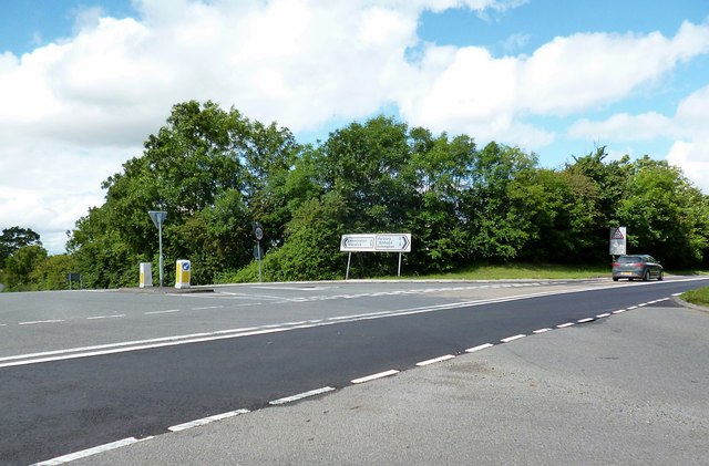
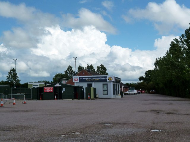
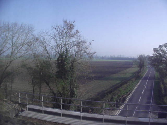
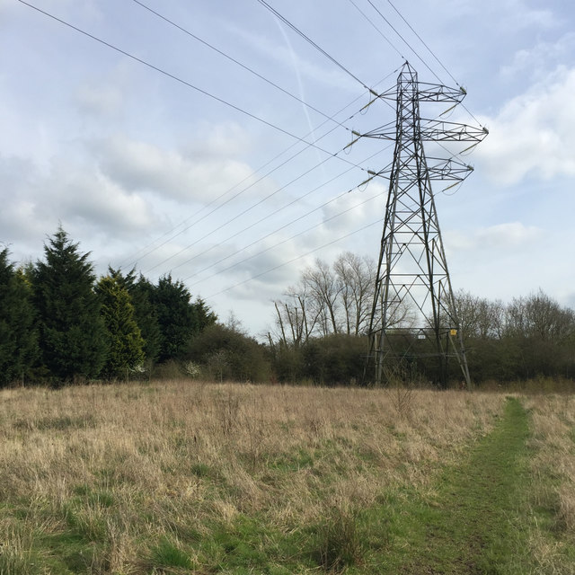
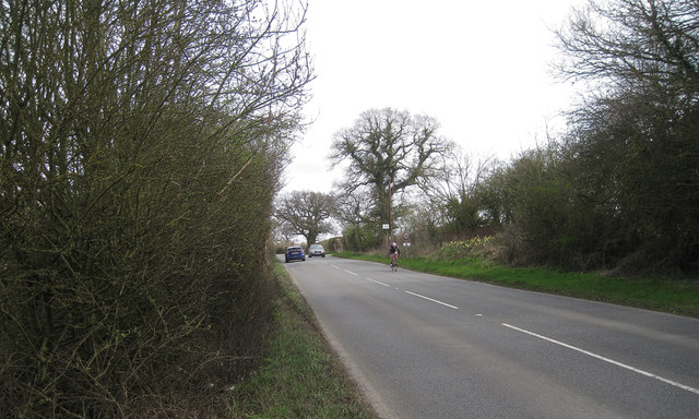
Frizmore Hill Images

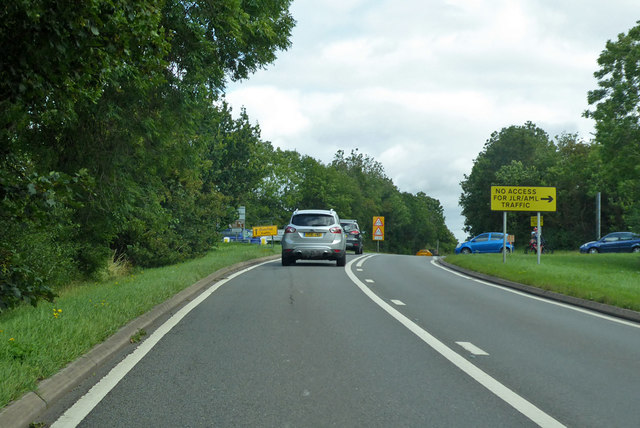
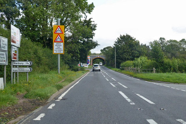
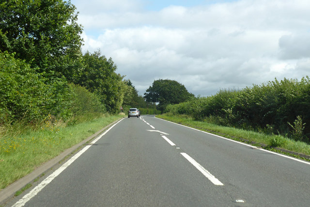
Images are sourced within 2km of 52.25525/-1.4900021 or Grid Reference SP3462. Thanks to Geograph Open Source API. All images are credited.

Grass field off the Fosse Way
Minis by the Fosse Fosse Garage has specialised in Minis since 2011 and there is a fine line up of the cars for sale here right by the Fosse Way. The bridge carries the Leamington - Banbury railway.
Minis by the Fosse
Fosse Garage has specialised in Minis since 2011 and there is a fine line up of the cars for sale here right by the Fosse Way. The bridge carries the Leamington - Banbury railway.
Townside stand at Leamington FC Part of the Townside stand at Leamington FC
Townside stand at Leamington FC
Part of the Townside stand at Leamington FC
Sheepside, Leamington FC A photo of the Mick Brady Stand on the Sheepside of Leamington FC
Sheepside, Leamington FC
A photo of the Mick Brady Stand on the Sheepside of Leamington FC
Mick Brady Stand, Leamington FC A photo of the Mick Brady stand and dugouts at Leamington FC
Mick Brady Stand, Leamington FC
A photo of the Mick Brady stand and dugouts at Leamington FC
Triangulation pillar on Crown Hill Whitnash in background
Triangulation pillar on Crown Hill
Whitnash in background
Derelict cow shed below Radford Barn Although just outside the Whitnash boundary, the Whitnash Neighbourhood Plan envisages the restoration of this building as a refuge for ramblers with access from Whitnash by a new footbridge over the nearby brook.
Derelict cow shed below Radford Barn
Although just outside the Whitnash boundary, the Whitnash Neighbourhood Plan envisages the restoration of this building as a refuge for ramblers with access from Whitnash by a new footbridge over the nearby brook.
A small feeder of the River Severn This tiny brook runs in to the larger Whitnash Brook just a few yards further on. The latter joins the River Leam in Leamington Spa, about 2 miles north of this point, and that river becomes a tributary of the River Avon between Leamington Spa and Warwick. Finally after flowing through Warwick, Stratford-upon-Avon and Evesham, the Avon joins the Severn at Tewkesbury.
A small feeder of the River Severn
This tiny brook runs in to the larger Whitnash Brook just a few yards further on. The latter joins the River Leam in Leamington Spa, about 2 miles north of this point, and that river becomes a tributary of the River Avon between Leamington Spa and Warwick. Finally after flowing through Warwick, Stratford-upon-Avon and Evesham, the Avon joins the Severn at Tewkesbury.
Beyond the pale The railway bridge shown is viewed from the north-east side of the ex-GWR London to Chester line and about three miles south-east of Leamington Spa. This line effectively marked the eastern boundary, or pale, of Great Western territory and since the photographer was to the east of the line, he is 'beyond the pale'.
The small white plaque to the left of the arch is inscribed 'DCL Bridge 123 103 miles 550 yds'. It means that the bridge is on the Didcot to Chester Line (a very old designation) and 103 miles 550 yards ( or 25 chains) from the GWR datum point at London, Paddington station.
Beyond the pale
The railway bridge shown is viewed from the north-east side of the ex-GWR London to Chester line and about three miles south-east of Leamington Spa. This line effectively marked the eastern boundary, or pale, of Great Western territory and since the photographer was to the east of the line, he is 'beyond the pale'. The small white plaque to the left of the arch is inscribed 'DCL Bridge 123 103 miles 550 yds'. It means that the bridge is on the Didcot to Chester Line (a very old designation) and 103 miles 550 yards ( or 25 chains) from the GWR datum point at London, Paddington station.
Old pasture alongside Whitnash Brook The buildings in the distance are those of Pounce Hill Farm. Isle of Wight Barn is framed by the tree to the left.
Old pasture alongside Whitnash Brook
The buildings in the distance are those of Pounce Hill Farm. Isle of Wight Barn is framed by the tree to the left.
The Fosseway Junction with Harbury Lane and Chesterton Road.
The Fosseway
Junction with Harbury Lane and Chesterton Road.
The Phillips 66 Community Stadium Home of Leamington F.C.
The Phillips 66 Community Stadium
Home of Leamington F.C.
The B4455, Fosse Way This was taken from the Moonraker charter train.  In the foreground is the parapet of the railway bridge.
The B4455, Fosse Way
This was taken from the Moonraker charter train. In the foreground is the parapet of the railway bridge.
Asymmetric tower near Harbury Lane The power lines to Harbury village turn sharply east here. The route behind the camera may avoid the Leamington and County Golf Course; note the Leyland Cypress screen, left. On the right, a dog walker's path around this vacant land: there is easy access and parking at the Harbury Lane playing fields.
Asymmetric tower near Harbury Lane
The power lines to Harbury village turn sharply east here. The route behind the camera may avoid the Leamington and County Golf Course; note the Leyland Cypress screen, left. On the right, a dog walker's path around this vacant land: there is easy access and parking at the Harbury Lane playing fields.
Southeast on Harbury Lane by Highdown Cottage A racetrack. It crosses the Fosse Way <a href="https://www.geograph.org.uk/gridref/SP3460">SP3460</a> before reaching the village of Harbury.
Southeast on Harbury Lane by Highdown Cottage
A racetrack. It crosses the Fosse Way SP3460 before reaching the village of Harbury.
B4455 Fosse Way heading north At the cross roads, Blaken Knob. Left to Whitnash, right to Harbury and other places, but not for 'JLR/AML' traffic, apparently. This seems to mean Jaguar Land Rover and Aston Martin Lagonda, who are at Gaydon.
B4455 Fosse Way heading north
At the cross roads, Blaken Knob. Left to Whitnash, right to Harbury and other places, but not for 'JLR/AML' traffic, apparently. This seems to mean Jaguar Land Rover and Aston Martin Lagonda, who are at Gaydon.
B4455 Fosse Way heading north The railway bridge carries the main GWR route to the north.
B4455 Fosse Way heading north
The railway bridge carries the main GWR route to the north.
B4455 Fosse Way heading north A well preserved Roman route.
B4455 Fosse Way heading north
A well preserved Roman route.
Show me another place!

Frizmore Hill is located at Grid Ref: SP3462 (Lat: 52.25525, Lng: -1.4900021)

Administrative County: Warwickshire

District: Warwick

Police Authority: Warwickshire

What 3 Words

///corn.gasp.purifier. Near Harbury, Warwickshire

Nearby Locations

Frizmore Hill Crown Hill

Related Wikis

Leamington F.C.

Leamington Football Club is a football club based in Leamington Spa, Warwickshire, England. They are currently members of the Southern League Premier Division...

Radford Semele

Radford Semele is a village and civil parish in Warwickshire, England, situated close to the Regency spa town of Leamington Spa. According to the 2001...
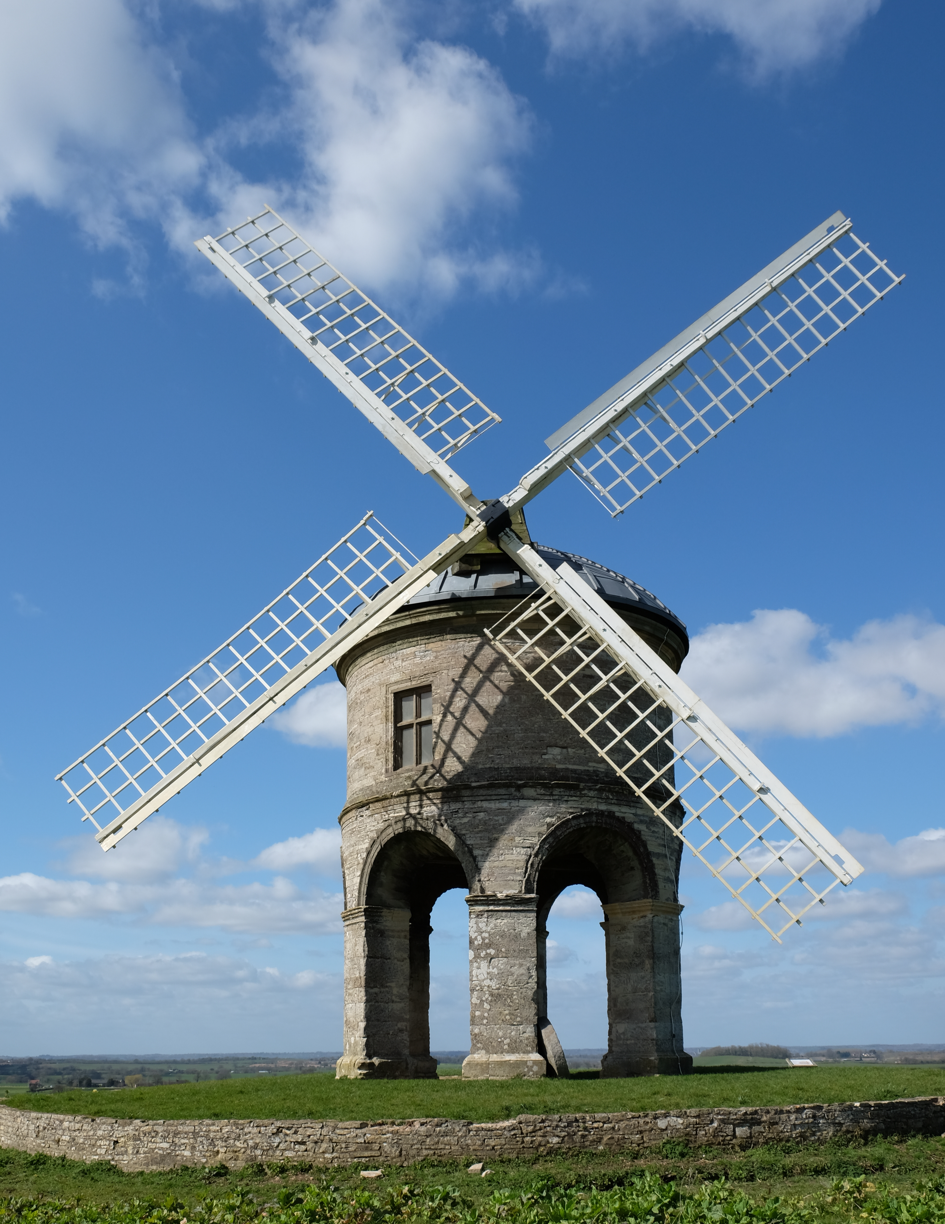
Chesterton Windmill

Chesterton Windmill is a 17th-century cylindric stone tower windmill with an arched base, located outside the village of Chesterton, Warwickshire. It is...

Whitnash

Whitnash is a town and civil parish located southeast of, and contiguous with Leamington Spa and Warwick in Warwickshire, England. In 2001, it had a population...

Campion School, Leamington Spa

Campion School was formed in 1977 when it moved to the present site on Sydenham Drive in Leamington Spa, Warwickshire, England. In 2006, Campion was awarded...

Harbury

Harbury is a village and civil parish in the Stratford-on-Avon district of Warwickshire, England. It is about 3 miles (5 km) west-southwest of Southam...

Ufton Fields

Ufton Fields is a biological Site of Special Scientific Interest and local nature reserve in Warwickshire, England. It is situated on the A425 close to...

Oakley School, Bishop's Tachbrook

Oakley School is a coeducational all-through school located in Bishop's Tachbrook (near Leamington Spa and Warwick) The school formally opened in September...

Nearby Amenities

Located within 500m of 52.25525,-1.4900021
Barrier: stile
Lat/Long: 52.2576992/-1.4889505
Brand: National Grid
Brand Wikidata: Q1465461
Material: wood
Operator: National Grid Electricity Distribution
Operator Old: Western Power Distribution
Operator Wikidata: Q7988183
Owner: National Grid Electricity Distribution (East Midlands) Plc
Owner Wikidata: Q114348127
Power: pole
Lat/Long: 52.256262/-1.4855924
Brand: National Grid
Brand Wikidata: Q1465461
Material: wood
Operator: National Grid Electricity Distribution
Operator Old: Western Power Distribution
Operator Wikidata: Q7988183
Owner: National Grid Electricity Distribution (East Midlands) Plc
Owner Wikidata: Q114348127
Power: pole
Lat/Long: 52.2563639/-1.48401
Brand: National Grid
Brand Wikidata: Q1465461
Material: wood
Operator: National Grid Electricity Distribution
Operator Old: Western Power Distribution
Operator Wikidata: Q7988183
Owner: National Grid Electricity Distribution (East Midlands) Plc
Owner Wikidata: Q114348127
Power: pole
Lat/Long: 52.2560207/-1.4828244
Brand: National Grid
Brand Wikidata: Q1465461
Material: wood
Operator: National Grid Electricity Distribution
Operator Old: Western Power Distribution
Operator Wikidata: Q7988183
Owner: National Grid Electricity Distribution (East Midlands) Plc
Owner Wikidata: Q114348127
Power: pole
Source: bing
Lat/Long: 52.2545636/-1.4831683
Brand: National Grid
Brand Wikidata: Q1465461
Material: wood
Operator: National Grid Electricity Distribution
Operator Old: Western Power Distribution
Operator Wikidata: Q7988183
Owner: National Grid Electricity Distribution (East Midlands) Plc
Owner Wikidata: Q114348127
Power: pole
Source: bing
Lat/Long: 52.2537992/-1.4838356
Brand: National Grid
Brand Wikidata: Q1465461
Material: wood
Operator: National Grid Electricity Distribution
Operator Old: Western Power Distribution
Operator Wikidata: Q7988183
Owner: National Grid Electricity Distribution (East Midlands) Plc
Owner Wikidata: Q114348127
Power: pole
Source: bing
Lat/Long: 52.2530652/-1.4844659
Brand: National Grid
Brand Wikidata: Q1465461
Line Management: branch
Material: wood
Operator: National Grid Electricity Distribution
Operator Old: Western Power Distribution
Operator Wikidata: Q7988183
Owner: National Grid Electricity Distribution (East Midlands) Plc
Owner Wikidata: Q114348127
Power: pole
Source: bing
Lat/Long: 52.2523263/-1.4851123
Brand: National Grid
Brand Wikidata: Q1465461
Material: wood
Operator: National Grid Electricity Distribution
Operator Old: Western Power Distribution
Operator Wikidata: Q7988183
Owner: National Grid Electricity Distribution (East Midlands) Plc
Owner Wikidata: Q114348127
Power: pole
Lat/Long: 52.2561575/-1.487036
Brand: National Grid
Brand Wikidata: Q1465461
Material: wood
Operator: National Grid Electricity Distribution
Operator Old: Western Power Distribution
Operator Wikidata: Q7988183
Owner: National Grid Electricity Distribution (East Midlands) Plc
Owner Wikidata: Q114348127
Power: pole
Lat/Long: 52.2564419/-1.488333
Brand: National Grid
Brand Wikidata: Q1465461
Material: wood
Operator: National Grid Electricity Distribution
Operator Old: Western Power Distribution
Operator Wikidata: Q7988183
Owner: National Grid Electricity Distribution (East Midlands) Plc
Owner Wikidata: Q114348127
Power: pole
Lat/Long: 52.257055/-1.4889952
Brand: National Grid
Brand Wikidata: Q1465461
Material: wood
Operator: National Grid Electricity Distribution
Operator Old: Western Power Distribution
Operator Wikidata: Q7988183
Owner: National Grid Electricity Distribution (East Midlands) Plc
Owner Wikidata: Q114348127
Power: pole
Lat/Long: 52.2576583/-1.4896573
Brand: National Grid
Brand Wikidata: Q1465461
Material: wood
Operator: National Grid Electricity Distribution
Operator Old: Western Power Distribution
Operator Wikidata: Q7988183
Owner: National Grid Electricity Distribution (East Midlands) Plc
Owner Wikidata: Q114348127
Power: pole
Lat/Long: 52.2581842/-1.4909378
Brand: National Grid
Brand Wikidata: Q1465461
Material: wood
Operator: National Grid Electricity Distribution
Operator Old: Western Power Distribution
Operator Wikidata: Q7988183
Owner: National Grid Electricity Distribution (East Midlands) Plc
Owner Wikidata: Q114348127
Power: pole
Lat/Long: 52.2586576/-1.4920986
Brand: National Grid
Brand Wikidata: Q1465461
Material: wood
Operator: National Grid Electricity Distribution
Operator Old: Western Power Distribution
Operator Wikidata: Q7988183
Owner: National Grid Electricity Distribution (East Midlands) Plc
Owner Wikidata: Q114348127
Power: pole
Lat/Long: 52.2591382/-1.4932914
The data included in this document is from www.openstreetmap.org. The data is made available under ODbL.

Have you been to Frizmore Hill?

Leave your review of Frizmore Hill below (or comments, questions and feedback).