David's Hill
Hill, Mountain in Oxfordshire West Oxfordshire
England
David's Hill

David's Hill is a prominent hill located in the county of Oxfordshire, England. It is situated near the village of Ascott-under-Wychwood, within the picturesque Cotswolds region. This hill is known for its scenic beauty and is a popular destination for nature lovers and hikers.
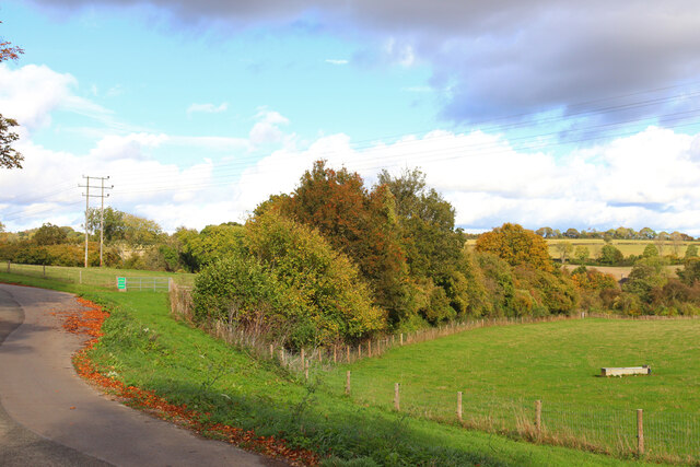
Standing at an elevation of approximately 220 meters (720 feet), David's Hill offers stunning panoramic views of the surrounding countryside, with rolling green hills, meandering rivers, and charming villages dotting the landscape. The hill itself is covered in lush grass and is adorned with trees, providing a peaceful and tranquil atmosphere for visitors.
The hill is named after David, a local farmer who had a deep connection with the land and was known for his love of the outdoors. David's Hill is also home to a variety of wildlife, including birds, rabbits, and foxes, making it an ideal spot for wildlife enthusiasts and photographers.
Access to David's Hill is relatively easy, with several footpaths leading to the summit. These paths offer a range of difficulty levels, catering to both casual strollers and more experienced hikers. The hill is a popular destination for outdoor activities such as walking, picnicking, and kite flying.
Overall, David's Hill in Oxfordshire is a natural gem, offering breathtaking views and a tranquil escape from the hustle and bustle of everyday life. Whether one seeks a scenic hike or simply a peaceful spot to unwind, this hill is a must-visit destination in the heart of England.
If you have any feedback on the listing, please let us know in the comments section below.
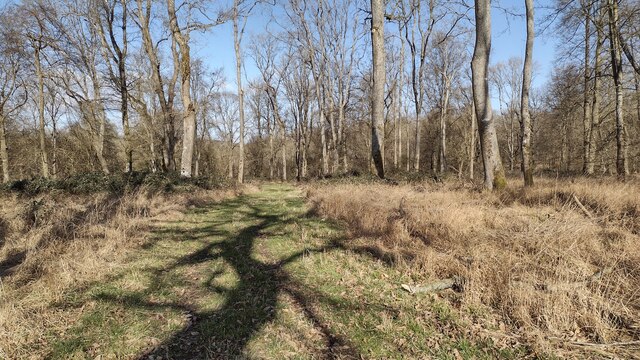
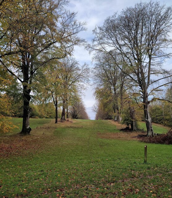
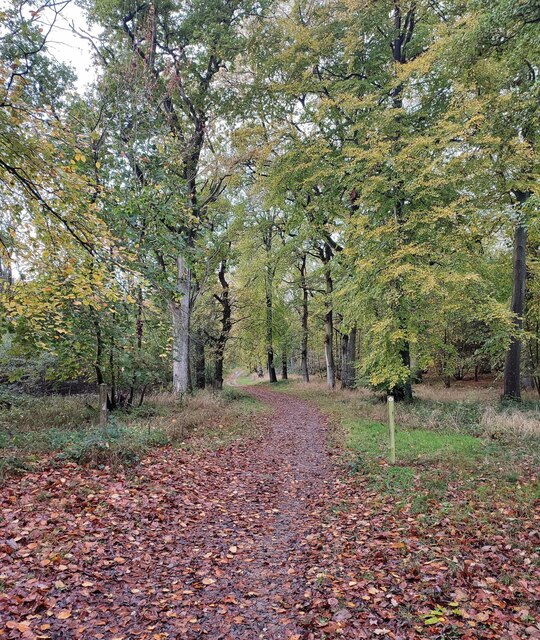
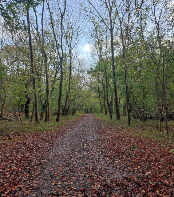
David's Hill Images
Images are sourced within 2km of 51.851182/-1.4943765 or Grid Reference SP3417. Thanks to Geograph Open Source API. All images are credited.


David's Hill is located at Grid Ref: SP3417 (Lat: 51.851182, Lng: -1.4943765)
Administrative County: Oxfordshire
District: West Oxfordshire
Police Authority: Thames Valley
What 3 Words
///probable.sitting.innovate. Near Charlbury, Oxfordshire
Nearby Locations
Related Wikis

Wychwood
Wychwood or Wychwood Forest is a 501.7-hectare (1,240-acre) biological Site of Special Scientific Interest north of Witney in Oxfordshire. It is also a...

Finstock
Finstock is a village and civil parish about 2 miles (3 km) south of Charlbury in Oxfordshire, England. The parish is bounded to the northeast by the...

Finstock railway station
Finstock railway station serves the village of Finstock and the hamlet of Fawler in Oxfordshire, England. It is some distance from Finstock itself, being...

Fawler
Fawler is a hamlet and civil parish in the valley of the River Evenlode, 1.5 miles (2.4 km) southeast of Charlbury in Oxfordshire, England. There are...

Charlbury railway station
Charlbury railway station is a railway station serving the town of Charlbury in Oxfordshire, England. This station and all trains serving it are operated...

Charlbury
Charlbury () is a town and civil parish in the Evenlode valley, about 6 miles (10 km) north of Witney in the West Oxfordshire district of Oxfordshire,...
Charlbury Museum
Charlbury Museum is a local museum in the town of Charlbury, Oxfordshire, England. The museum and collections are organized and run by the Charlbury Society...

Cornbury Park
Cornbury Park is an estate near Charlbury, Oxfordshire. It comprises about 5000 acres, mostly farmland and woods, including a remnant of the Wychwood Forest...
Related Videos

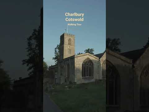
Charlbury, Cotswolds Sunrise walking Tour
Welcome to this walking tour in 4K. Today I'm taking you on a beautiful early morning walk tour of Charlbury in the Cotswolds.
Charlbury, Cotswolds Early Morning walking Tour
Welcome to this walking tour in 4K. Today I'm taking you on a beautiful early morning walk tour of Charlbury in the Cotswolds.

Charlbury, Cotswolds, England, A Magical Early Morning Walking Tour 4K
Welcome to this walking tour in 4K. Today I'm taking you on a beautiful early morning walk tour of Charlbury in the Cotswolds.

Charming little town || Charlbury, English Countryside
The small west Oxfordshire town was acknowledged as a great place to live for its beautiful surroundings. The small historic ...
Nearby Amenities
Located within 500m of 51.851182,-1.4943765Have you been to David's Hill?
Leave your review of David's Hill below (or comments, questions and feedback).